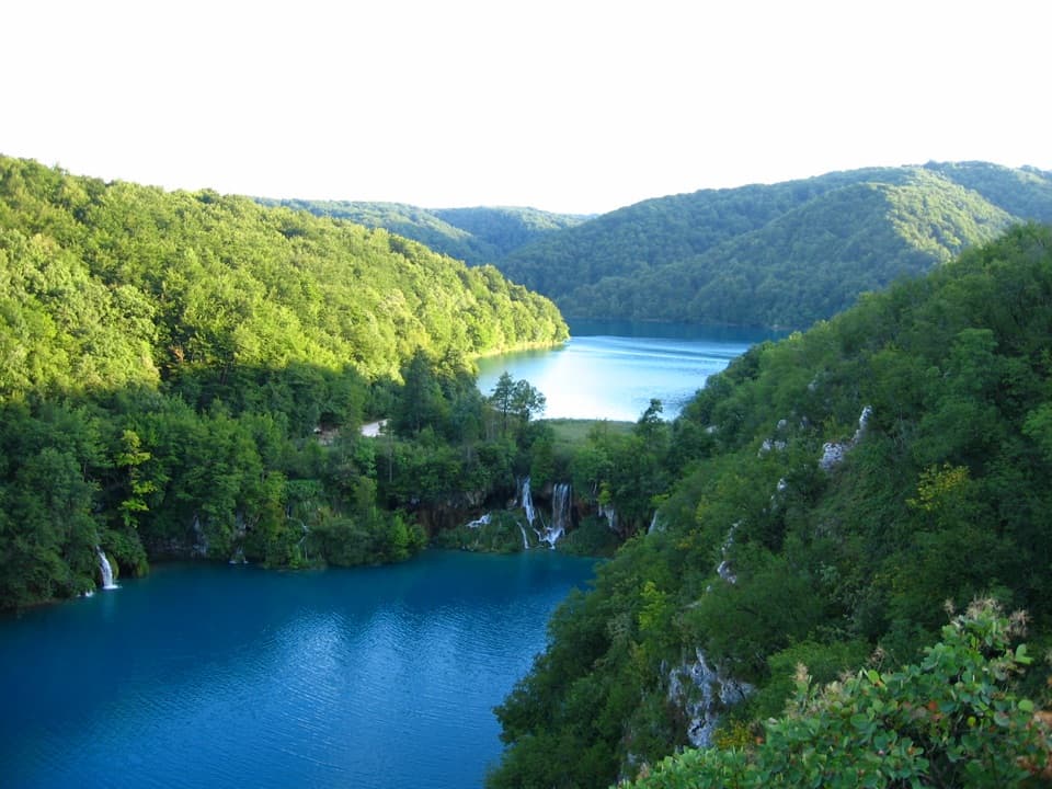
Parking
Start at Hladovina parking lot at Entrance 2, beside the pedestrian bridge over D1. The route finishes at the Ličko Petrovo Selo–Izačić border crossing, so arrange transport back before setting out.

Plitvice Lakes National Park, KA · LS
Cross the Medveđak ridge on a long one-way border stage.
Overview
Map & elevation
Plan your hike

The highest, rockiest slopes around here are a summer buffet for grizzly bears.
Plitvice Lakes Tour Guide
Parkwolf is a GPS audio tour guide for Plitvice Lakes National Park. As you drive, it chimes in with what’s ahead: hidden gems, upcoming stops, history, geology, and wildlife, right through your car’s speakers.
Recorded for this trailhead
Hladovina and the Medveđak Ridge“You're coming up on Hladovina, the starting area for the Medveđak ridge trails beside Entrance Two.”
Plays as you drive up to this trailhead in the Parkwolf Plitvice Lakes Tour Guide.
More stories near here in the app
“Fantastic app with many points of information… It’s great to just turn on while you’re driving and it gives you an audio tour of the national Park. We love it!!!!”


Trail guide
HR-G-08 East Lika is a 17.2 km (10.7 mi) point-to-point hike from Hladovina at Entrance 2 to the Ličko Petrovo Selo–Izačić border crossing. Allow about six hours; the published stage profile lists 359 m of climbing and 638 m of descent. This is a long-distance connection, not a loop back to the lakes, so arrange a pickup or another return plan before you start.
From Hladovina, the route starts gently downhill on a forest road, then follows a maintained path around Forestry Institute grounds to Hrnjakuša meadow. The park describes mild switchbacks climbing toward Oštri Medveđak. The route continues on the old footpath over Oštri and two bypasses toward Ličko Petrovo Selo. Their exact turns and ground conditions aren't explained in detail, so keep a current route map handy.
Oštri's summit has a 4-by-20-metre rock-built platform with views toward Lička Plješivica, the Una and Korana valleys, and Ličko Petrovo Selo. A forest path to Oštri was built in 1900 and became known as Blanka's Trail, after the wife of Archduke Leopold Salvator. This is the stage's clearest payoff; the rest is a much longer walk through the eastern Lika corridor.
After the ridge, the route heads toward Ličko Petrovo Selo and follows a road to the border crossing. The route's published description warns that facilities for hikers and excursionists are limited outside the immediate Plitvice area. Plan supplies and transport ahead, and check current border requirements if you intend to cross into Bosnia and Herzegovina.
For a shorter walk to the Medveđak area, use the park's Trail 1 from the same Hladovina lot; it takes about 2.5 hours and offers a route toward Oštri. That is a better fit if you want the viewpoint without committing to a 17.2 km one-way stage. Dogs are allowed in the park on leash.
Wildlife
 20 sightingsBeaverMost seen around 7 PMSighting map
 29 sightingsGrey HeronMost seen around 7 AMSighting map
 14 sightingsGreat CormorantMost seen around 7 AMSighting map
 84 sightingsMerganserMost seen around 9 AMSighting map
 13 sightingsDipperMost seen around 8 AMSighting map
 201 sightingsMallardMost seen around 5 PMSighting map
Sighting maps show where each species has been reported across Plitvice Lakes. Wildlife moves, so no sighting is guaranteed.
Keep exploring
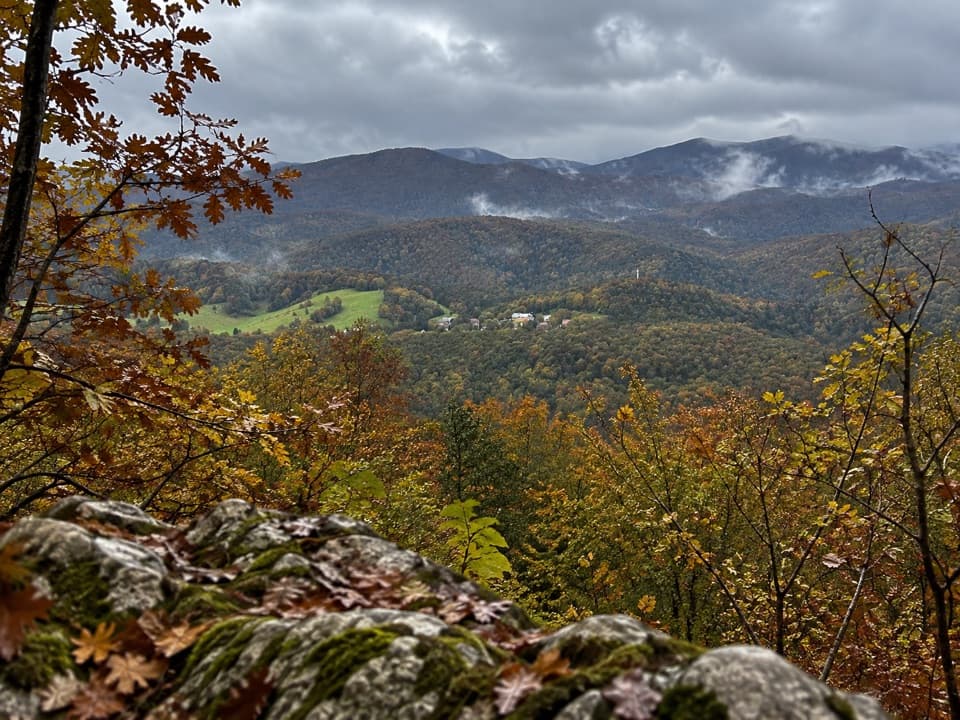 ModerateMedveđak Trail 18.2 km · 3 hr · At the trailheadA wooded ridge traverse from Entrance 2 to Entrance 1.
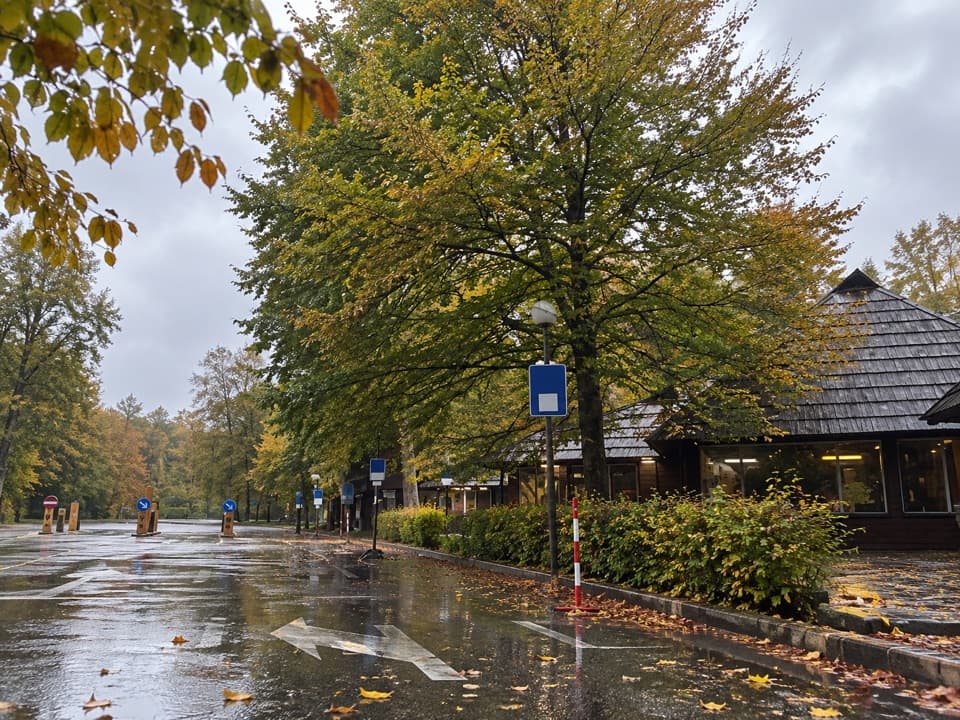 ModerateMedveđak Trail 25.4 km · 1.8 hr · 0.3 km awayA karst ascent from point 2 to the Turčić viewpoint.
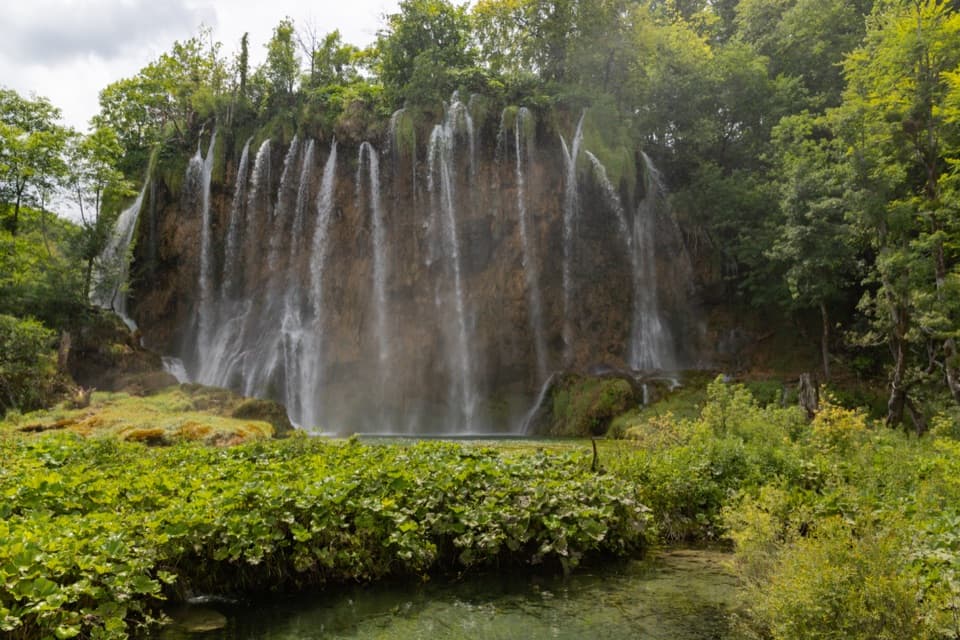 ModerateProgramme E5.1 km · 2.5 hr · 0.4 km awayUpper Lakes waterfalls, with a boat crossing and road-train return.
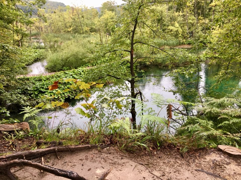 ModerateK2 Program Loop17.5 km · 7 hr · 0.4 km awayA full day linking both lake shores, waterfalls and a boat crossing.
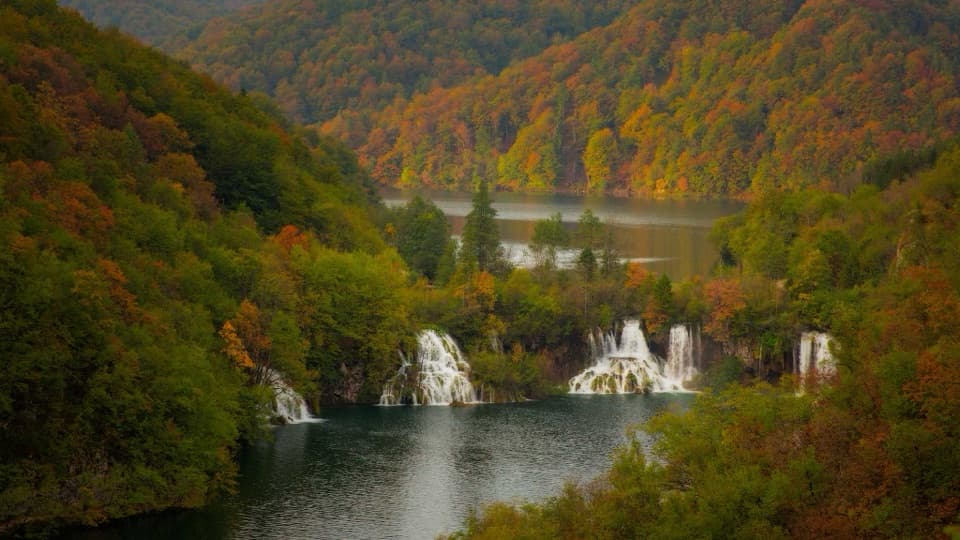 ModerateProgram F: Lower Lakes Loop4.6 km · 3.5 hr · 0.4 km awayA boat, waterfall canyon, and steep climb make one varied half-day.
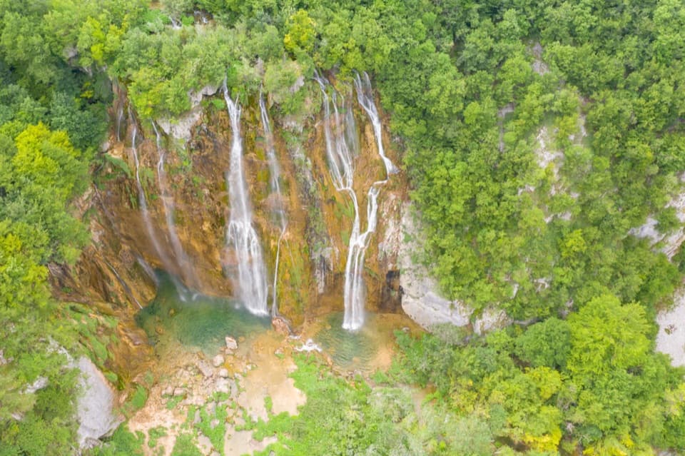 ModerateH Program Lake Tour8.9 km · 5 hr · 2.3 km away8.9 km through both lake zones, with boat and panoramic rides.
 ModeratePlitvica Trail9 km · 3.8 hr · 2.3 km awayA forest route that finishes beside Plitvica Stream and Great Fall.
 ChallengingČorkova Uvala Trail21 km · 7 hr · 2.3 km awayA full-day crossing through Plitvice’s forested high country and meadows.
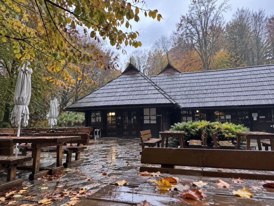 Food · At the trailheadBistro HladovinaA beech-shaded meal stop at the south entrance.
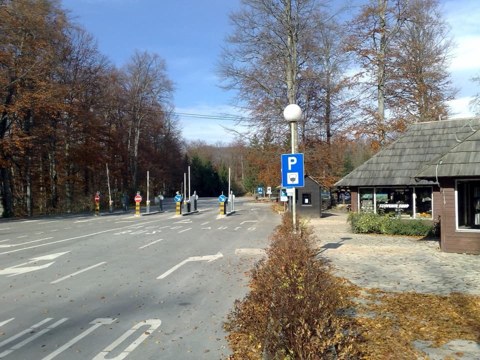 Entrance station · 0.1 km awayEntrance 2South-side start for Upper Lakes routes and longer circuits.
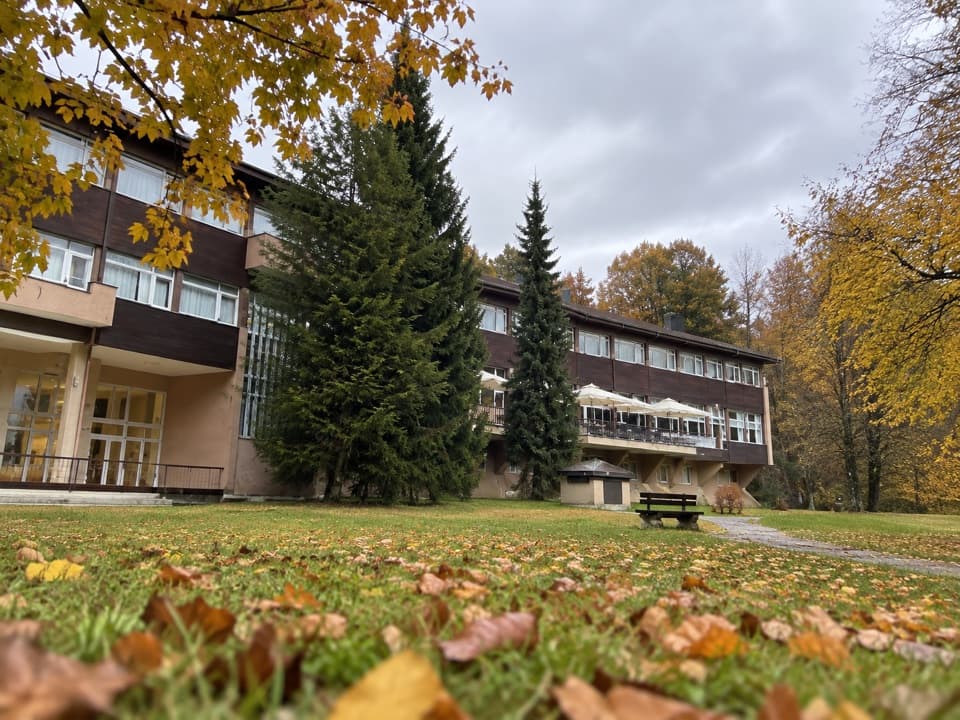 Lodging · 0.3 km awayHotel PlitviceA protected postwar landmark beside Entrance 2.
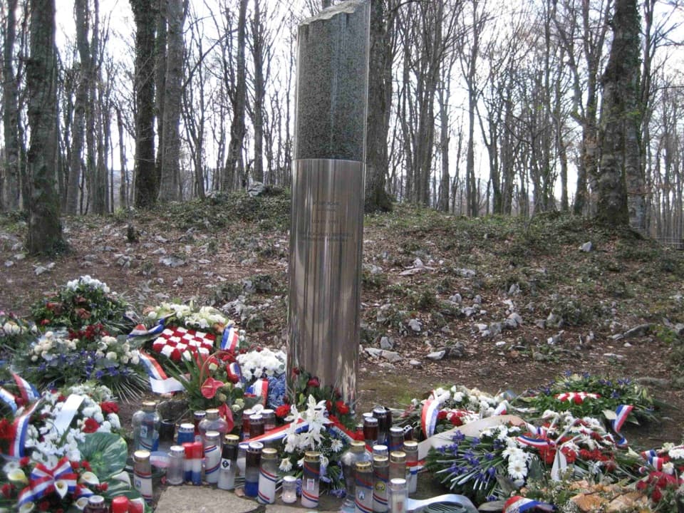 Sight · 0.3 km awayJosip Jović MemorialA solemn roadside memorial at the site of Josip Jović’s death.
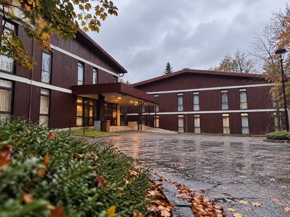 Lodging · 0.3 km awayHotel BellevueA 1963 park hotel a few steps from Entrance 2.
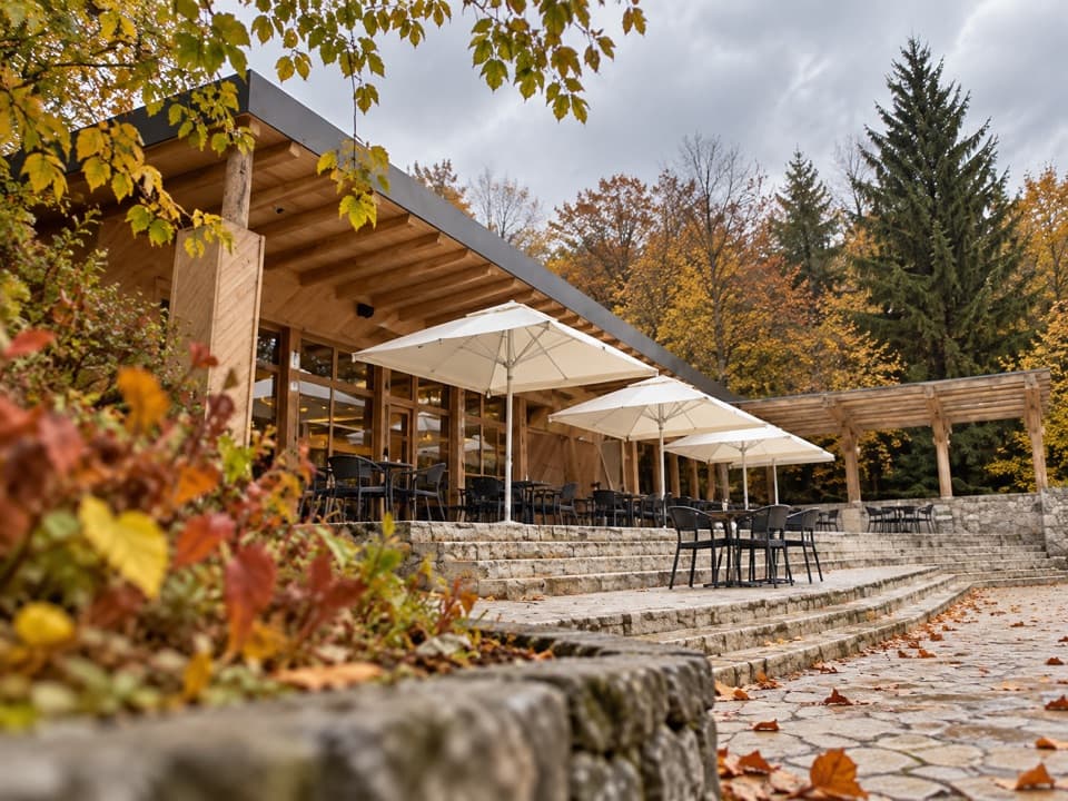 Food · 0.3 km awayKozjak Caffe & PastryA 1949 lakeside restaurant, now a proper coffee-and-cake stop.
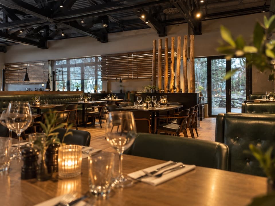 Restaurant · 0.4 km awayBlack River – Steak & Pasta HouseDry-aged steaks and fresh pasta near Entrance 2.
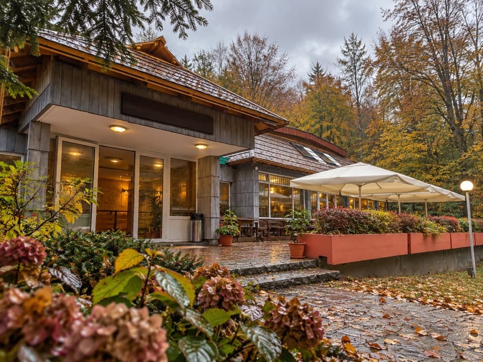 Restaurant · 0.4 km awayRestaurant PoljanaA convenient Entrance 2 meal stop with trout, burgers and pancakes.
Parkwolf’s Plitvice Lakes ranking

The audio tour guide for the drive, plus offline maps, trails, and wildlife heatmaps for when the signal drops.