Parking
Use the park car park at Entrance 2, the south entrance. F returns to St2 beside Entrance 2 by panoramic vehicle.
#8 of 15 trails in Plitvice Lakes
Plitvice Lakes National Park, KA · LS
A boat, waterfall canyon, and steep climb make one varied half-day.
Overview
Map & elevation
Plan your hike

The highest, rockiest slopes around here are a summer buffet for grizzly bears.
Plitvice Lakes Tour Guide
Parkwolf is a GPS audio tour guide for Plitvice Lakes National Park. As you drive, it chimes in with what’s ahead: hidden gems, upcoming stops, history, geology, and wildlife, right through your car’s speakers.
Recorded for this trailhead
Entrance 2 and the Upper Lakes“Up ahead is the arrival area for Entrance Two, with the ticket gate farther inside the complex. For the Upper Lakes, Program E is a good choice: allow two to three hours for the boat crossing, lake walk and return ride.”
Plays as you drive up to this trailhead in the Parkwolf Plitvice Lakes Tour Guide.
More stories near here in the app
“Fantastic app with many points of information… It’s great to just turn on while you’re driving and it gives you an audio tour of the national Park. We love it!!!!”


Trail guide
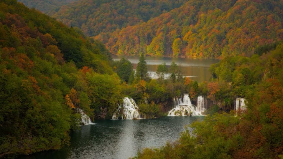
Program F is the park’s circular Lower Lakes itinerary from Entrance 2, listed as 4.6 km and three to four hours. It starts with a short walk down to an electric boat across Kozjak, continues on foot through the Lower Lakes canyon to Veliki Slap, climbs to the east rim, then returns by panoramic vehicle. The boat and panoramic ride are part of the planned route, and rides are included with the park ticket when the selected programme uses them. The park does not break the 4.6 km into walking, boat and shuttle mileage, so treat it as the official programme distance rather than a measured on-foot total. It is a good half-day pick if you want the lakes, waterfalls and a high view in one outing. Take time on the boat crossing and boardwalks, and save energy for the climb after the waterfall.
Start at Entrance 2 and follow the signed route down the stairs to the lakeside boarding area. The electric boat takes you across broad Lake Kozjak; after landing, the route runs through the limestone Lower Lakes canyon. Wooden boardwalks and bridges carry you close to the clear pools and small cascades, with steps between levels. Some boardwalk sections are one-way, so keep moving with the marked flow and stop for photos where the path widens. The boat docks and narrow canyon paths can slow down when queues build; recent visitors mention waits at both the boat and waterfall area, so leave room in your schedule for pauses.
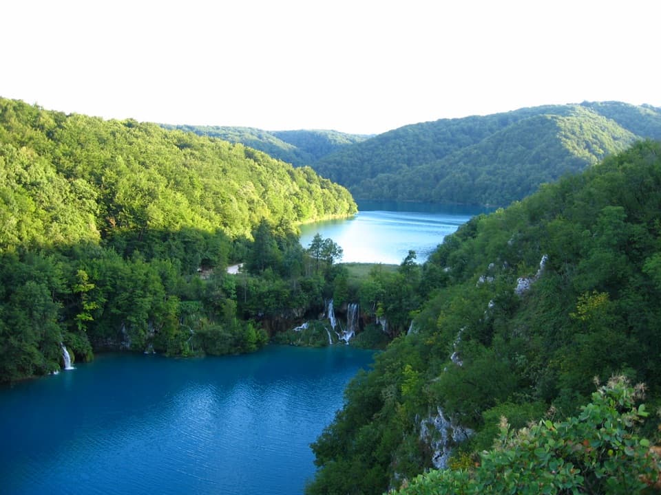
The route reaches Veliki Slap, the Great Waterfall, which the park identifies as its largest fall and Croatia’s largest waterfall. Take a moment to look back along the water and the limestone walls before following the steep serpentine uphill. This is the main physical effort: the route climbs from the falls to the east canyon rim, where viewpoints look over dark-blue lakes and high cliffs. For the strongest view, frame the lake below the cliff edge rather than filling the shot with water alone; the height of the canyon is what makes the scene.
From the rim, continue to the panoramic-vehicle station and ride back to St2 by Entrance 2. The return ride is part of F, so leave the marked route for the transport stop rather than trying to walk the road back. Dogs are permitted in the park on a leash. For a meal before or after the loop, the park lists Black River steak and pasta house at Entrance 2; it is a separate stop, not food along the canyon route.
Wildlife
 20 sightingsBeaverMost seen around 7 PMSighting map
 29 sightingsGrey HeronMost seen around 7 AMSighting map
 14 sightingsGreat CormorantMost seen around 7 AMSighting map
 84 sightingsMerganserMost seen around 9 AMSighting map
 13 sightingsDipperMost seen around 8 AMSighting map
 201 sightingsMallardMost seen around 5 PMSighting map
Sighting maps show where each species has been reported across Plitvice Lakes. Wildlife moves, so no sighting is guaranteed.
Keep exploring
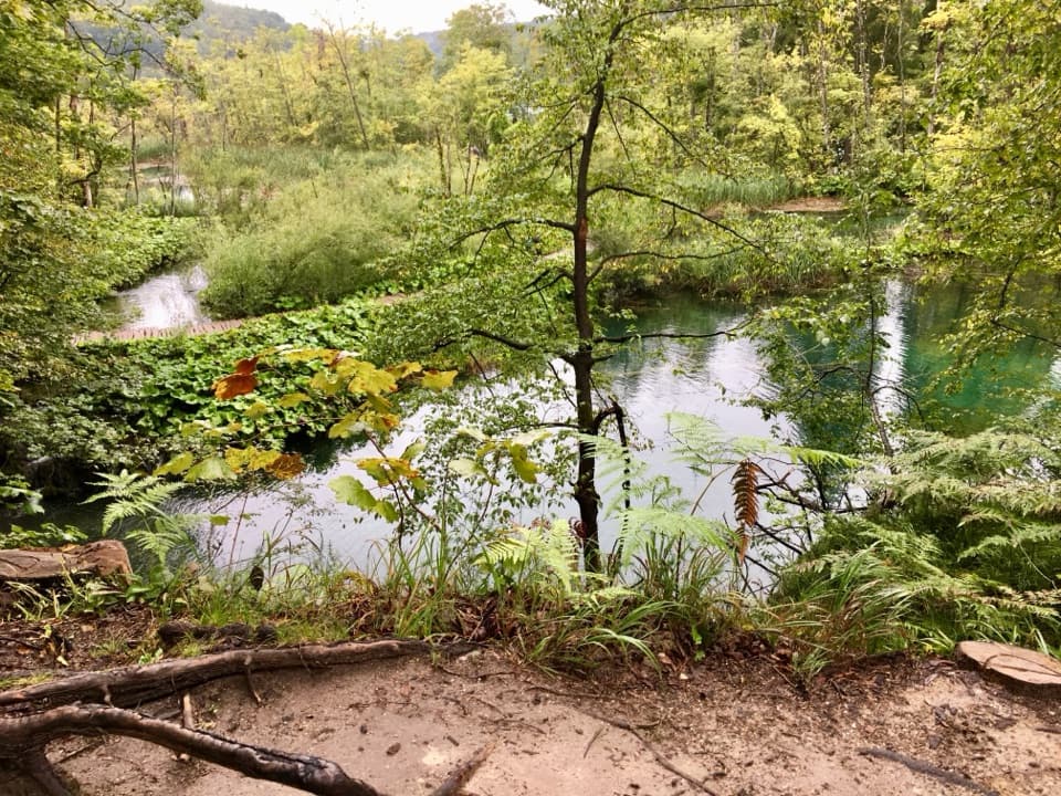 ModerateK2 Program Loop17.5 km · 7 hr · At the trailheadA full day linking both lake shores, waterfalls and a boat crossing.
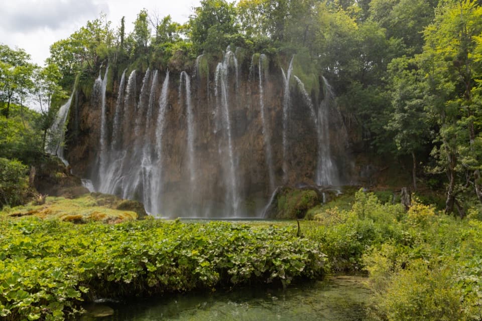 ModerateProgramme E5.1 km · 2.5 hr · At the trailheadUpper Lakes waterfalls, with a boat crossing and road-train return.
 ModerateVia Dinarica HR-G-08: East Lika17.2 km · 5.8 hr · 0.4 km awayCross the Medveđak ridge on a long one-way border stage.
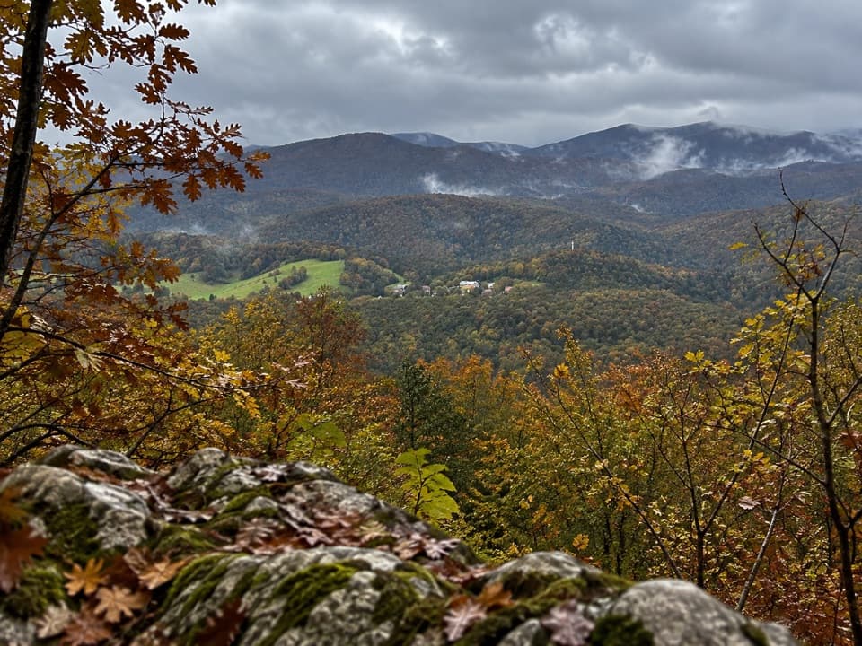 ModerateMedveđak Trail 18.2 km · 3 hr · 0.5 km awayA wooded ridge traverse from Entrance 2 to Entrance 1.
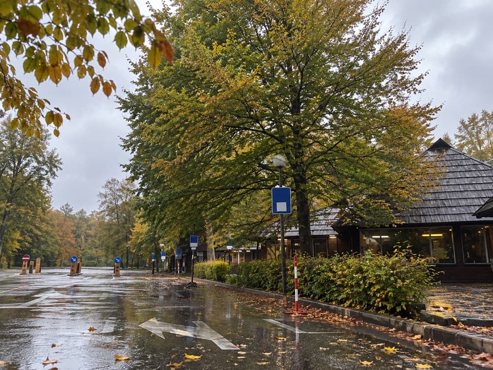 ModerateMedveđak Trail 25.4 km · 1.8 hr · 0.7 km awayA karst ascent from point 2 to the Turčić viewpoint.
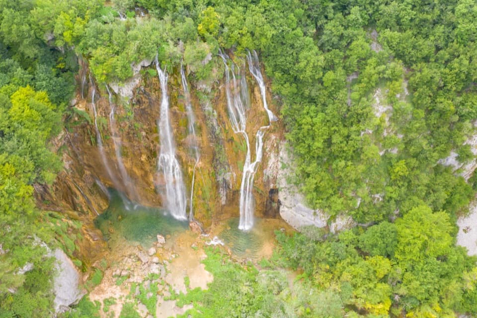 ModerateH Program Lake Tour8.9 km · 5 hr · 1.9 km away8.9 km through both lake zones, with boat and panoramic rides.
 ModeratePlitvica Trail9 km · 3.8 hr · 1.9 km awayA forest route that finishes beside Plitvica Stream and Great Fall.
 ChallengingČorkova Uvala Trail21 km · 7 hr · 1.9 km awayA full-day crossing through Plitvice’s forested high country and meadows.
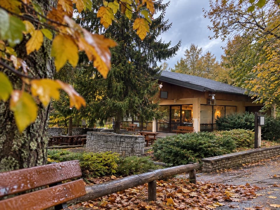 Food · At the trailheadFlora Café BarA handy pause beside ST2 for a drink or snack.
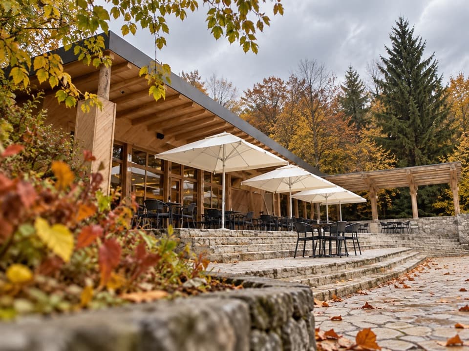 Food · 0.2 km awayKozjak Caffe & PastryA 1949 lakeside restaurant, now a proper coffee-and-cake stop.
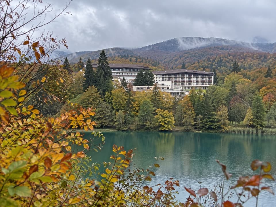 Lodging · 0.2 km awayHotel JezeroLodging with a spa, two restaurants and Lake Kozjak nearby.
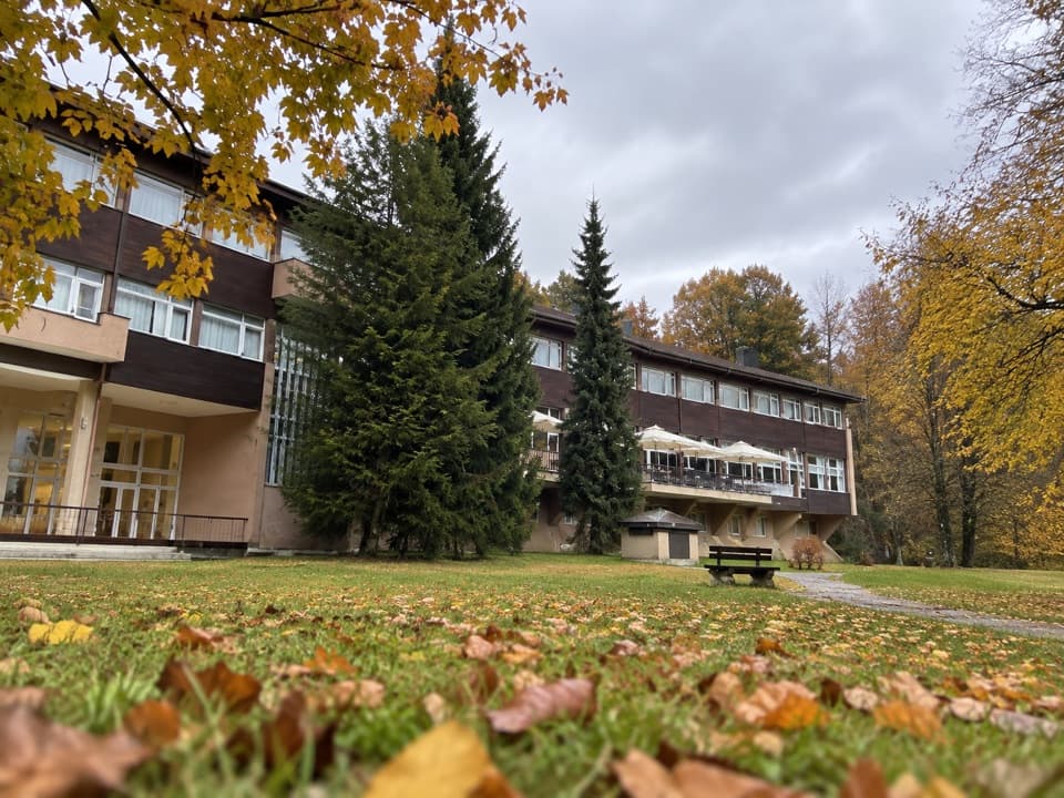 Lodging · 0.2 km awayHotel PlitviceA protected postwar landmark beside Entrance 2.
 Sight · 0.2 km awayKozjak LakeA boat crossing makes the largest lake part of the walk.
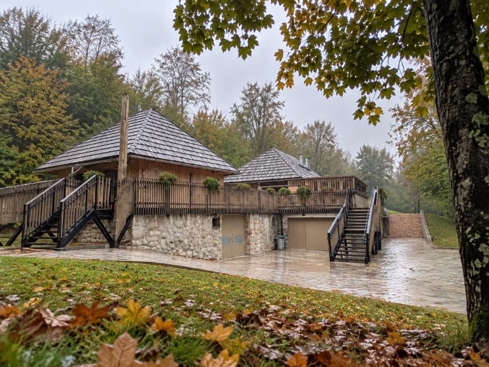 Food · 0.3 km awayKupalište BistroA handy meal stop beside the P1 dock on Lake Kozjak.
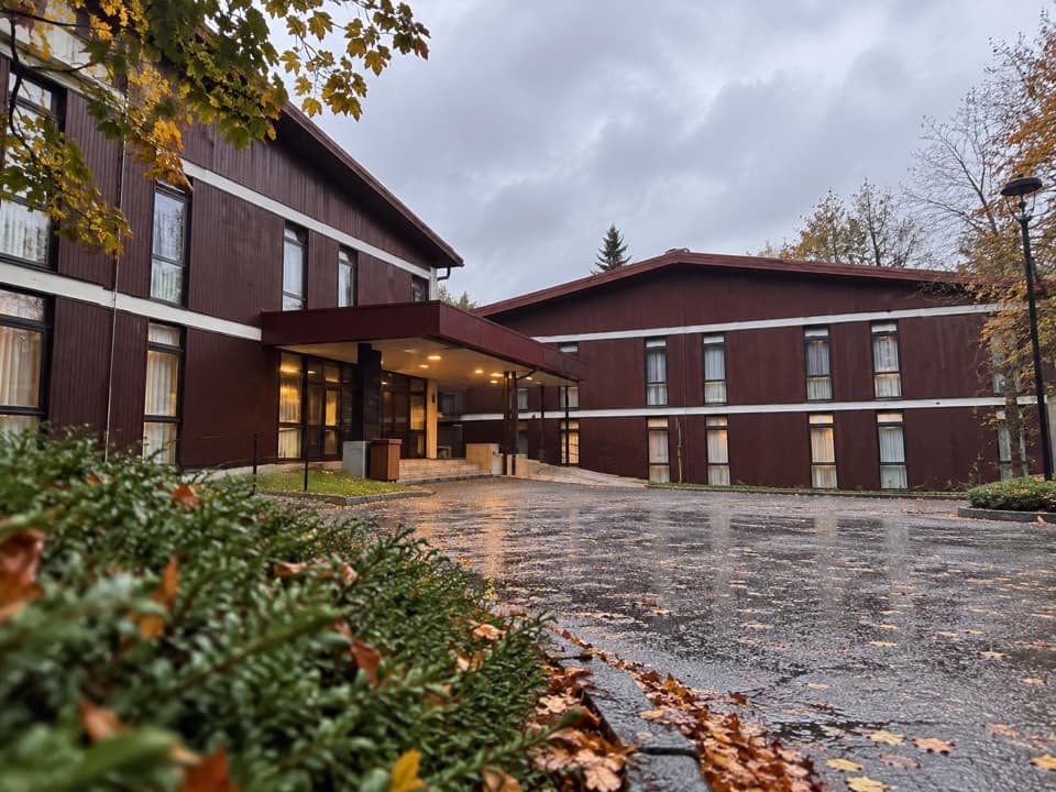 Lodging · 0.3 km awayHotel BellevueA 1963 park hotel a few steps from Entrance 2.
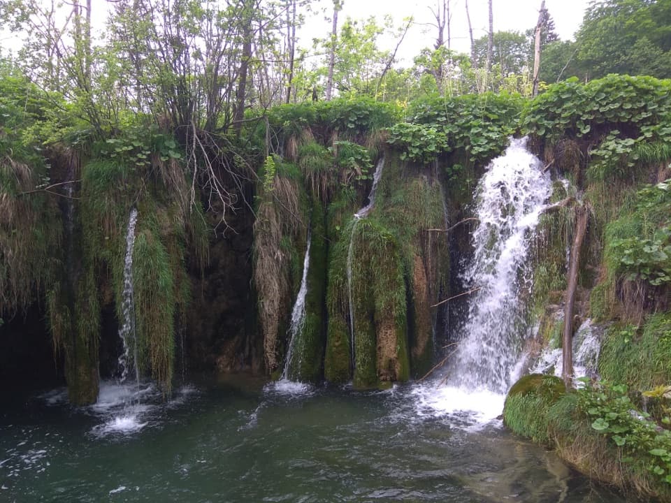 Sight · 0.4 km awayKozjački SlapoviA small, mossy cascade worth a pause on the Upper Lakes walk.
Parkwolf’s Plitvice Lakes ranking

The audio tour guide for the drive, plus offline maps, trails, and wildlife heatmaps for when the signal drops.