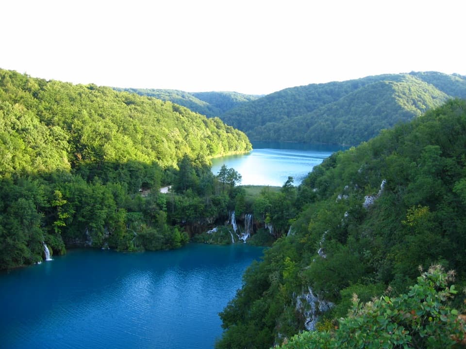
Parking
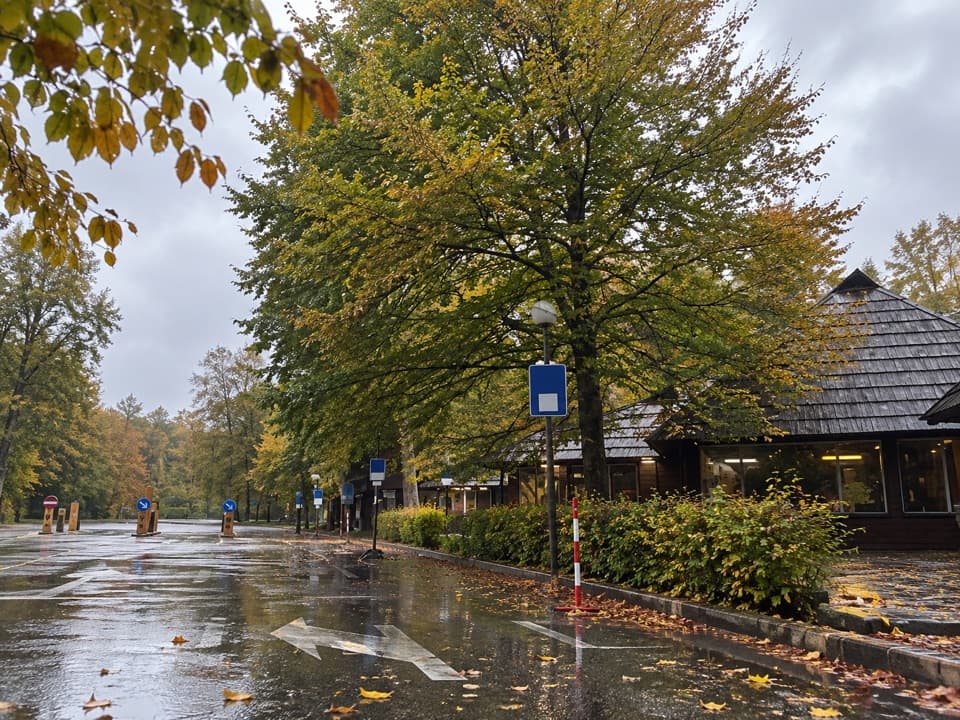
Use Hladovina parking at Entrance 2. Walk about 500 m down the road to orientation point 2; the approach is not included in the 5.4 km trail distance.
Plitvice Lakes National Park, KA · LS
A karst ascent from point 2 to the Turčić viewpoint.
Overview
Map & elevation
Plan your hike

The highest, rockiest slopes around here are a summer buffet for grizzly bears.
Plitvice Lakes Tour Guide
Parkwolf is a GPS audio tour guide for Plitvice Lakes National Park. As you drive, it chimes in with what’s ahead: hidden gems, upcoming stops, history, geology, and wildlife, right through your car’s speakers.
Recorded for this trailhead
Hladovina and the Medveđak Ridge“You're coming up on Hladovina, the starting area for the Medveđak ridge trails beside Entrance Two.”
Plays as you drive up to this trailhead in the Parkwolf Plitvice Lakes Tour Guide.
More stories near here in the app
“Fantastic app with many points of information… It’s great to just turn on while you’re driving and it gives you an audio tour of the national Park. We love it!!!!”


Trail guide
Medveđak Trail 2 is a 5.4 km (3.36 mi) out-and-back from orientation point 2 to point 4, with a short spur to Turčić and the same way back. It climbs a forested karst ridge to a lookout over Kozjak Lake and the Great Fall. Allow about 1¾ hours from point 2; the official prose says roughly 1½ hours, while the mapped segment times suggest closer to 1¾ hours for the return.
The trail starts with a mild rise over karst, then becomes steeper after a flat patch with spruce. Expect rough limestone with pits, small gorges and karren. Point 4 is the junction below Turčić; the final short climb is described as easier than the steeper middle stretch.
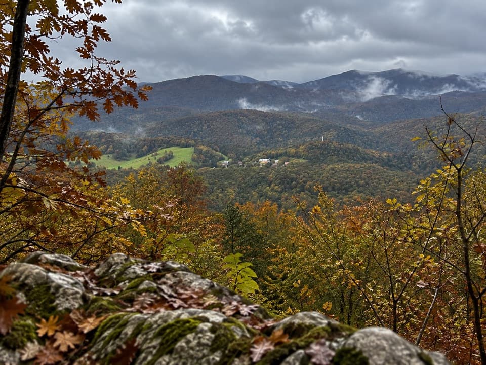
The 250 m spur from point 4 reaches Turčić, listed at 801 m. From the viewpoint, look across Kozjak Lake and the Great Fall toward the surrounding villages; Bjelolasica may appear in clear weather. The park offers longer combinations with Trail 1 and a train connection, but those are different itineraries and are not included in this distance.
The route passes a common spruce community growing on former grassland. Across the Medveđak ridge, the park describes old beech forest and habitat for brown bears, wolves and lynx; that is habitat information, not a promise of sightings. The massif's name comes from the Croatian word for bear. The park's trail history dates a path to Tupi to 1894 and a trail to Oštri to 1900; those are ridge history, not a construction date for Trail 2.
Hladovina parking at Entrance 2 is the access point; orientation point 2 is about 500 m down the road. Add about 1 km to the walk if starting and finishing at the lot. This entry uses the official return-toward-Entrance-2 option by retracing Trail 2. A Trail 1 return or train-assisted combination is longer and is not mapped here. Dogs are allowed on leash.
The 90 m terrain profile places the route between about 601 and 744 m; it is useful for the broad climb but does not reproduce the park's listed 801 m at Turčić. Treat the summit figure as authoritative and the profile's exact heights as approximate. No water refill or toilet on this trail segment was confirmed.
Wildlife
 20 sightingsBeaverMost seen around 7 PMSighting map
 29 sightingsGrey HeronMost seen around 7 AMSighting map
 14 sightingsGreat CormorantMost seen around 7 AMSighting map
 84 sightingsMerganserMost seen around 9 AMSighting map
 13 sightingsDipperMost seen around 8 AMSighting map
 201 sightingsMallardMost seen around 5 PMSighting map
Sighting maps show where each species has been reported across Plitvice Lakes. Wildlife moves, so no sighting is guaranteed.
Keep exploring
 ModerateMedveđak Trail 18.2 km · 3 hr · 0.3 km awayA wooded ridge traverse from Entrance 2 to Entrance 1.
 ModerateVia Dinarica HR-G-08: East Lika17.2 km · 5.8 hr · 0.3 km awayCross the Medveđak ridge on a long one-way border stage.
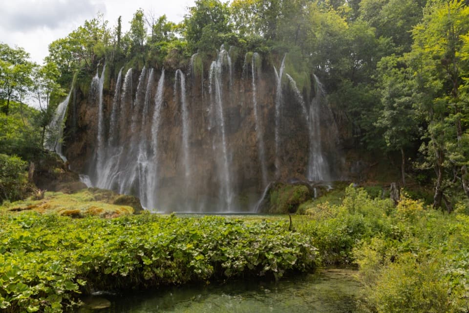 ModerateProgramme E5.1 km · 2.5 hr · 0.7 km awayUpper Lakes waterfalls, with a boat crossing and road-train return.
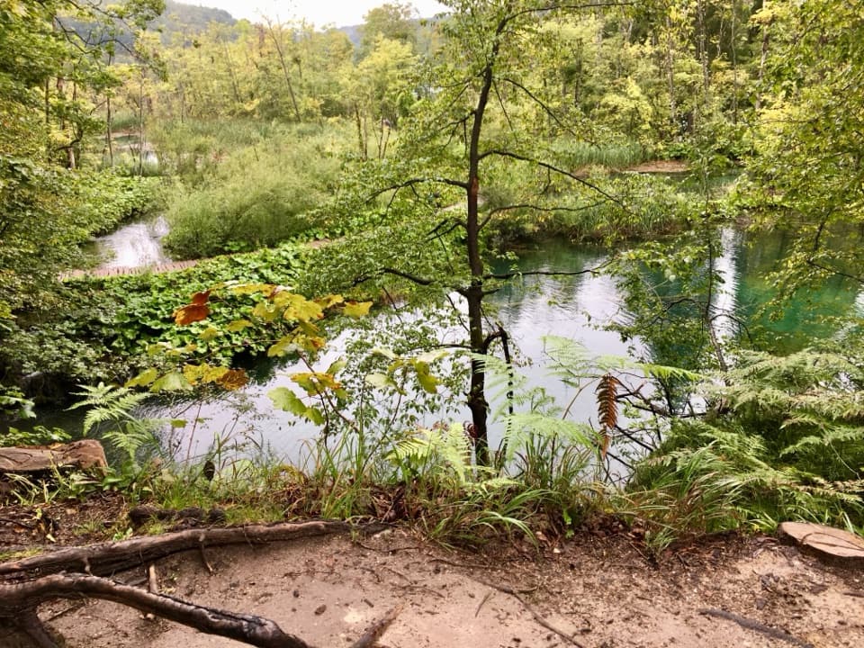 ModerateK2 Program Loop17.5 km · 7 hr · 0.7 km awayA full day linking both lake shores, waterfalls and a boat crossing.
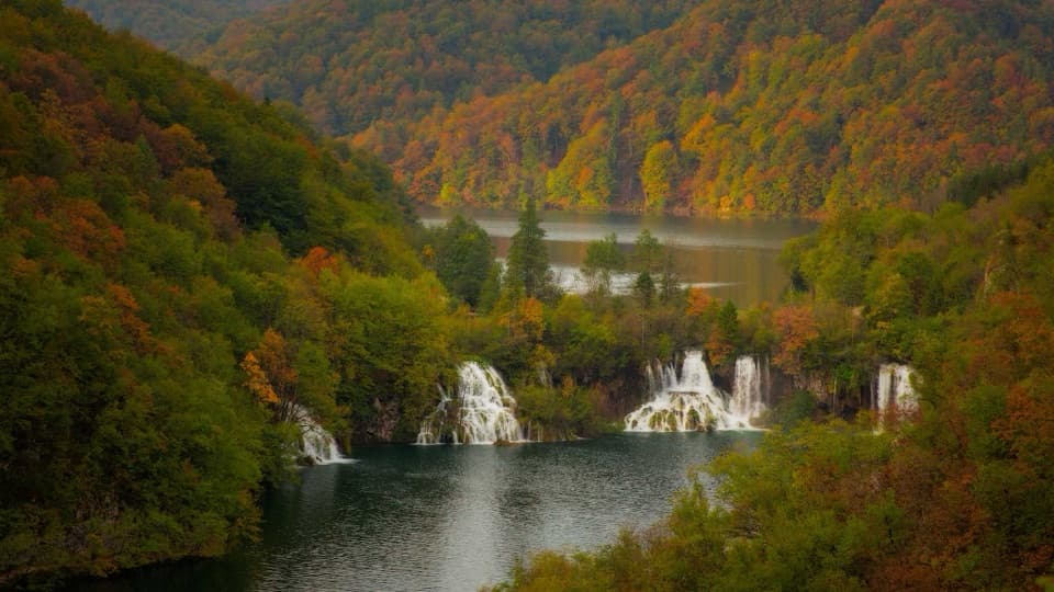 ModerateProgram F: Lower Lakes Loop4.6 km · 3.5 hr · 0.7 km awayA boat, waterfall canyon, and steep climb make one varied half-day.
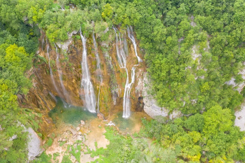 ModerateH Program Lake Tour8.9 km · 5 hr · 2.5 km away8.9 km through both lake zones, with boat and panoramic rides.
 ModeratePlitvica Trail9 km · 3.8 hr · 2.5 km awayA forest route that finishes beside Plitvica Stream and Great Fall.
 ChallengingČorkova Uvala Trail21 km · 7 hr · 2.5 km awayA full-day crossing through Plitvice’s forested high country and meadows.
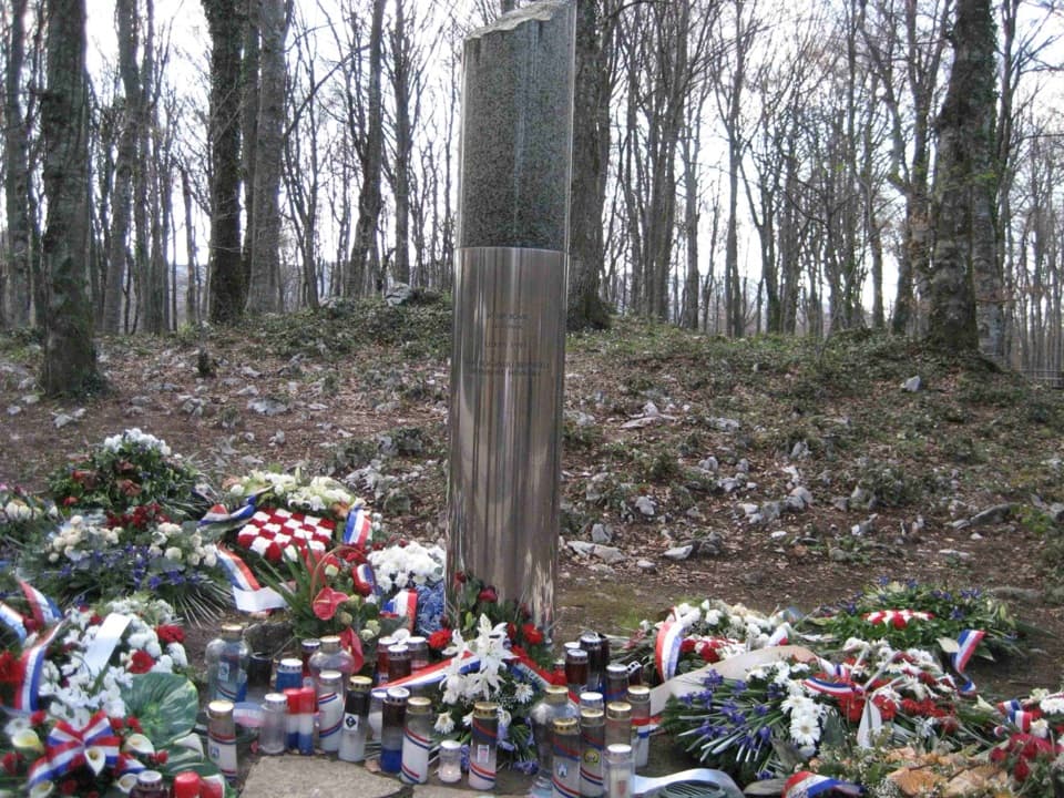 Sight · 0.3 km awayJosip Jović MemorialA solemn roadside memorial at the site of Josip Jović’s death.
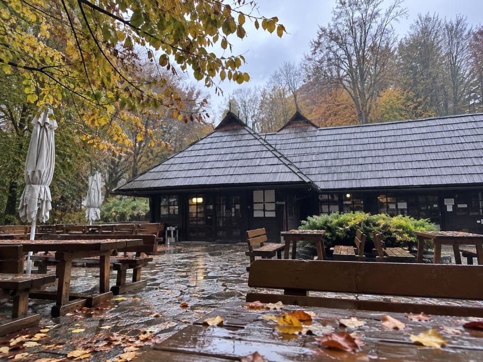 Food · 0.3 km awayBistro HladovinaA beech-shaded meal stop at the south entrance.
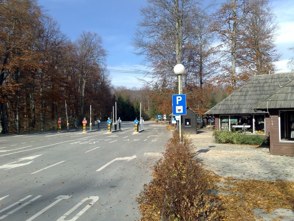 Entrance station · 0.3 km awayEntrance 2South-side start for Upper Lakes routes and longer circuits.
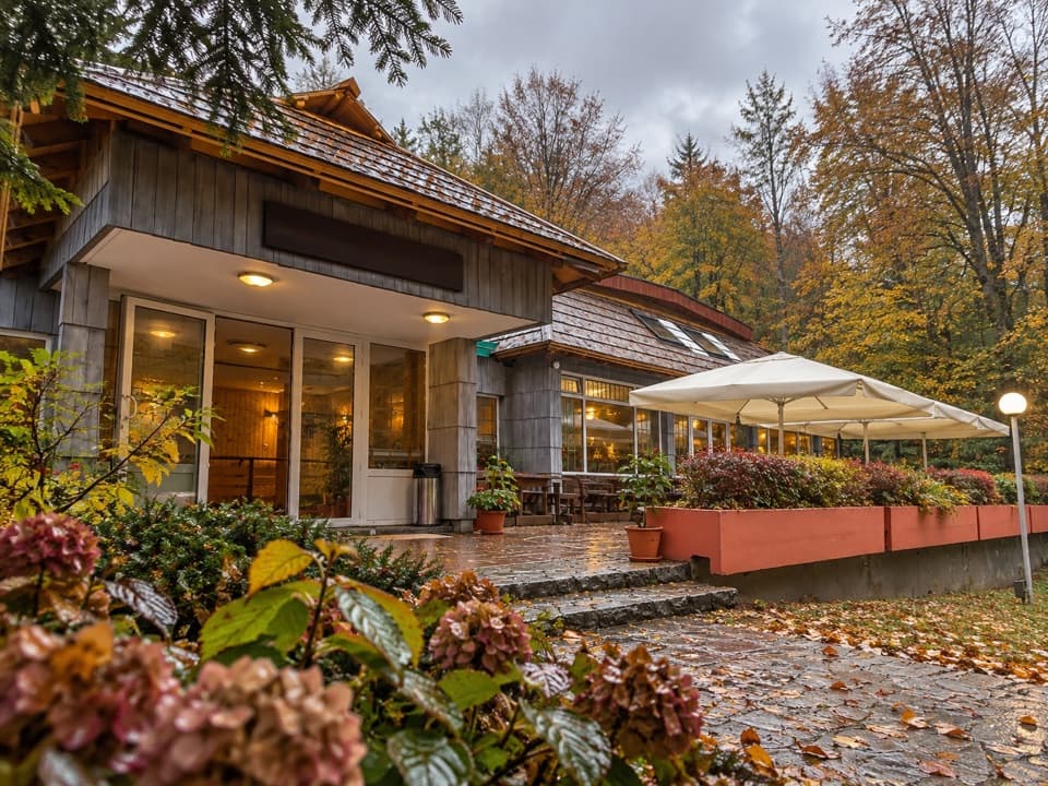 Restaurant · 0.4 km awayRestaurant PoljanaA convenient Entrance 2 meal stop with trout, burgers and pancakes.
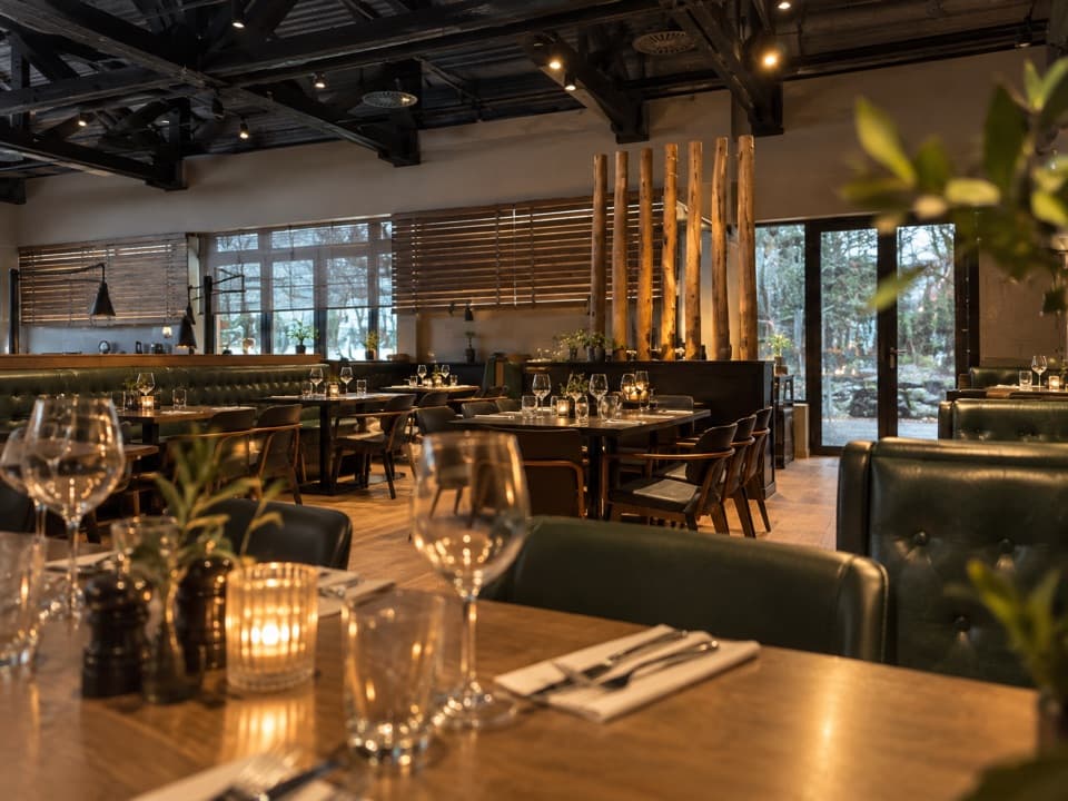 Restaurant · 0.4 km awayBlack River – Steak & Pasta HouseDry-aged steaks and fresh pasta near Entrance 2.
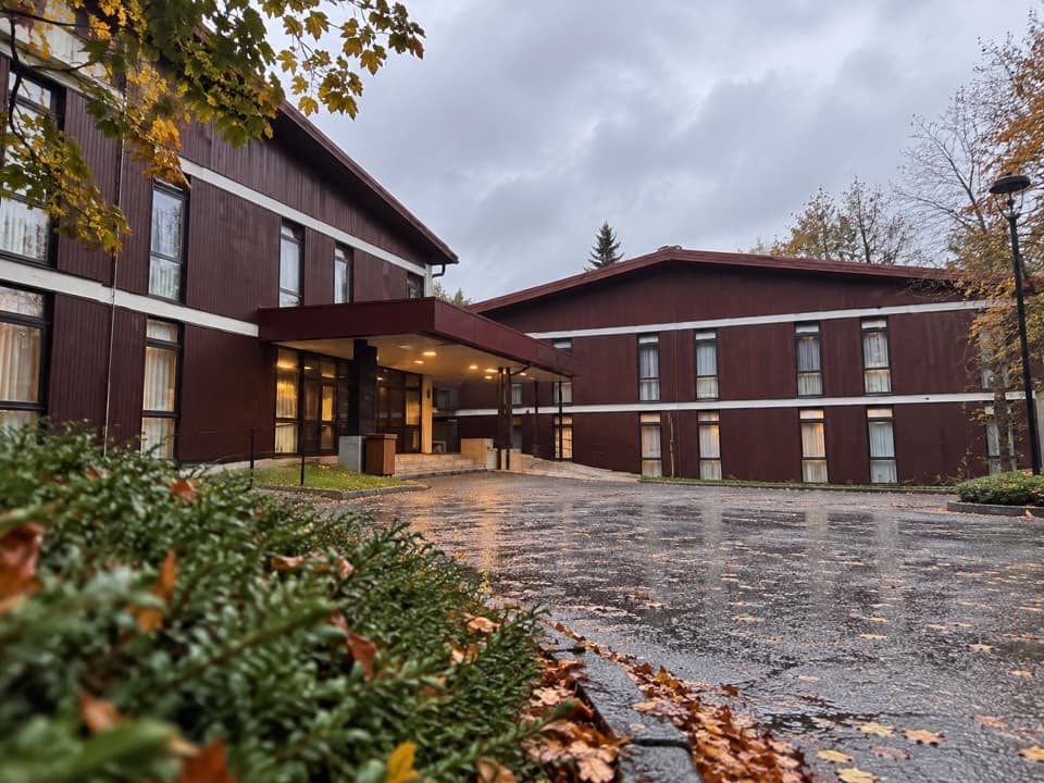 Lodging · 0.5 km awayHotel BellevueA 1963 park hotel a few steps from Entrance 2.
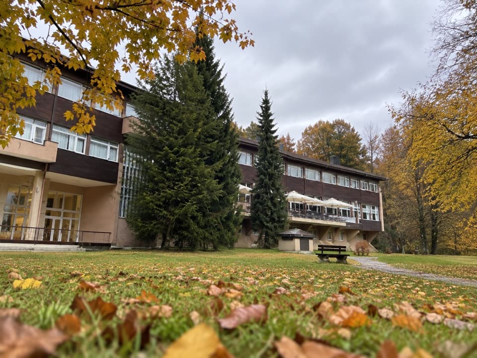 Lodging · 0.5 km awayHotel PlitviceA protected postwar landmark beside Entrance 2.
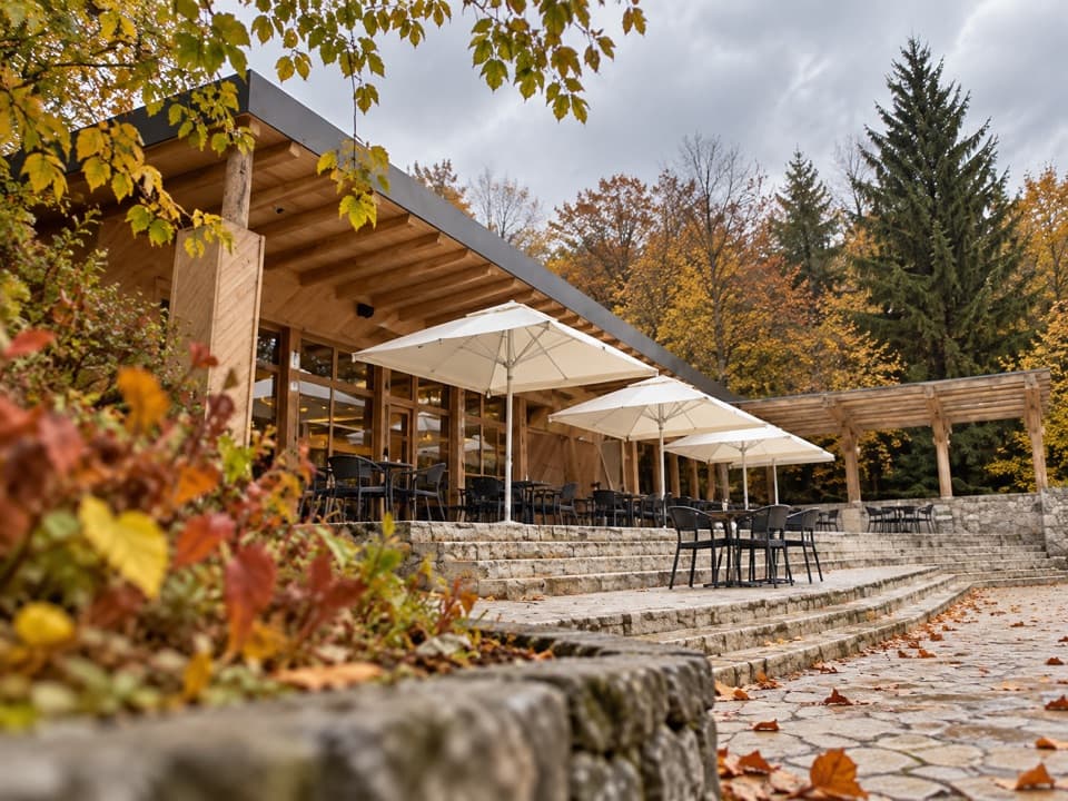 Food · 0.6 km awayKozjak Caffe & PastryA 1949 lakeside restaurant, now a proper coffee-and-cake stop.
Parkwolf’s Plitvice Lakes ranking

The audio tour guide for the drive, plus offline maps, trails, and wildlife heatmaps for when the signal drops.