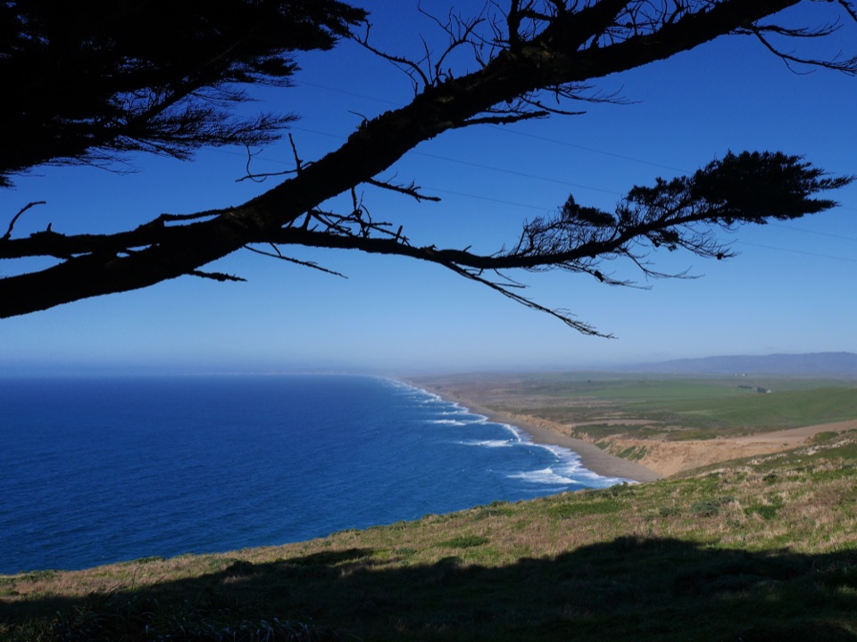
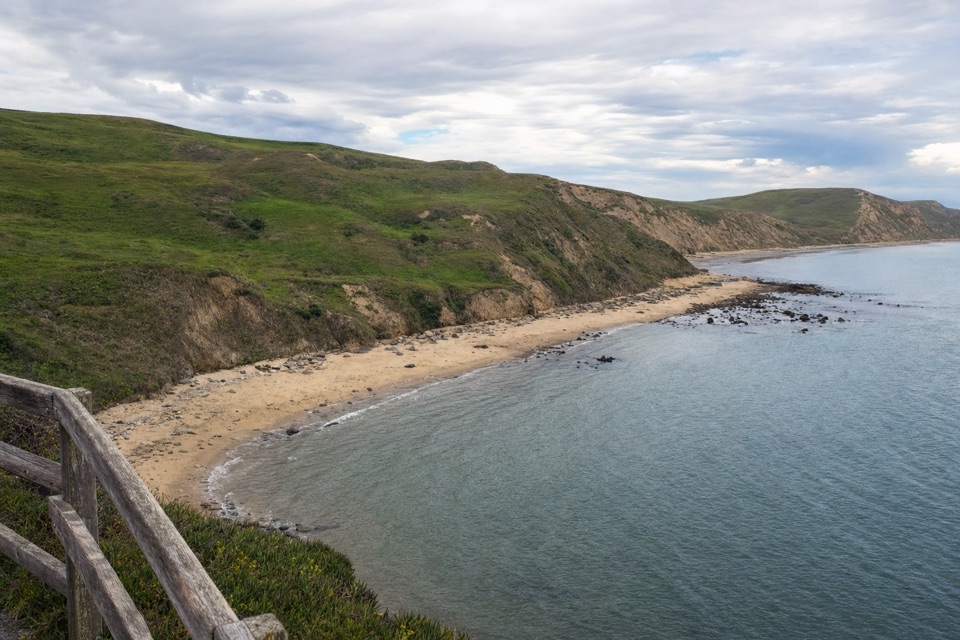
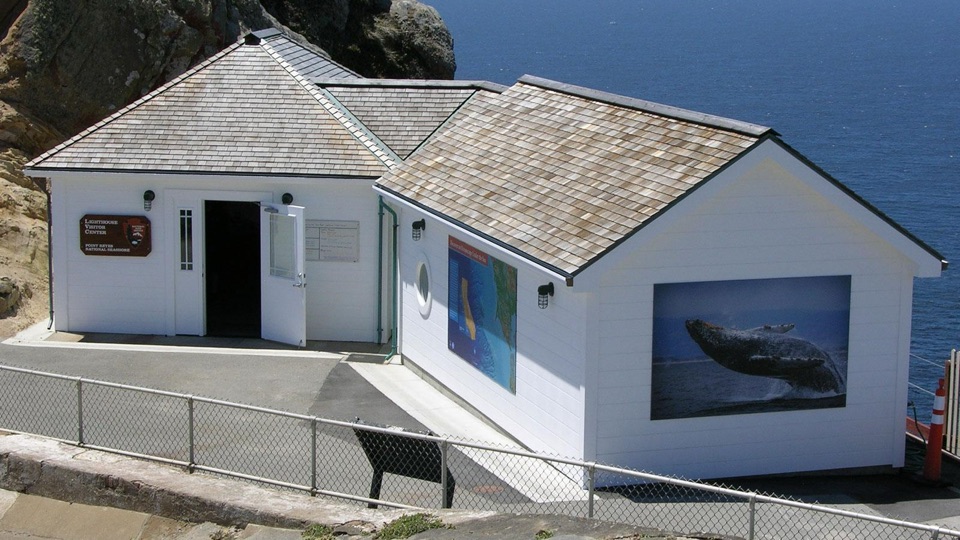
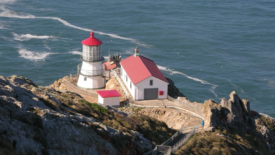
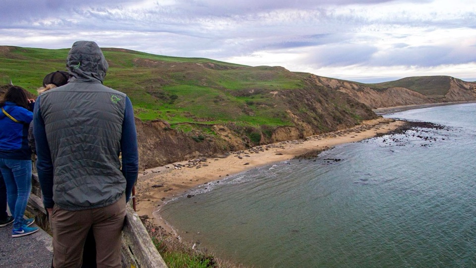
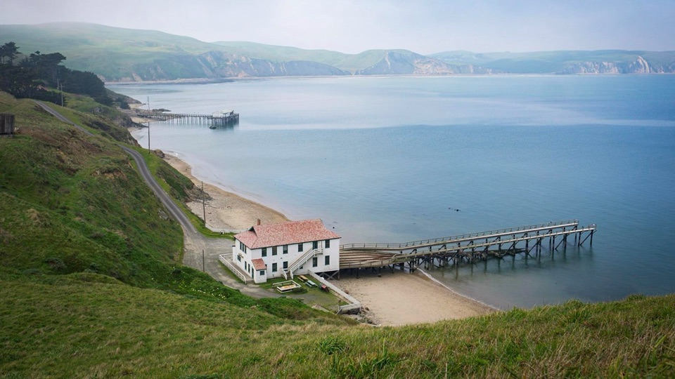
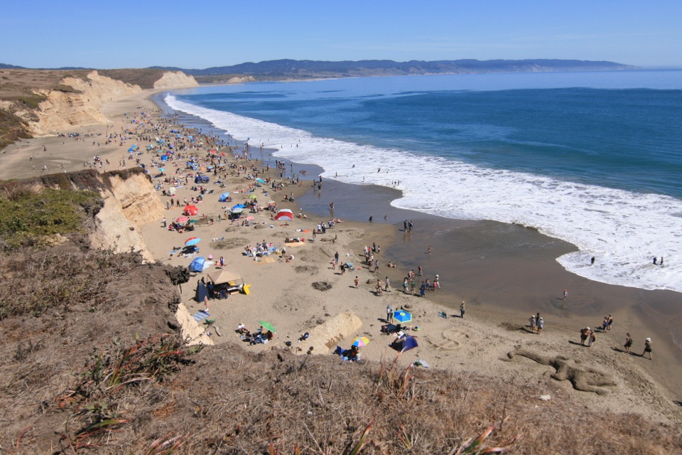
This cliff-side overlook gives you the big, wild version of the Point Reyes coast without any scrambling: a long run of sand, dunes, and coastal grassland below, with heavy surf breaking along Point Reyes Beach. It is a safe, fenced place to watch the waves do their thing, and it pairs well with a lighthouse visit since both start from the same parking area. Interpretive information at the site fills in what you are looking at.
Late afternoon and sunset give the best light on the beach and dunes, though that is also when parking is hardest to find.
Overcast, foggy, and blustery conditions are normal here. Grey days still photograph well because of the surf and cliff lines.
A wide lens handles the sweep of beach; a longer lens helps for seals and whale watching.
Rules to know
Stay behind the split-rail fencing. The cliff edges are unstable.
No bicycles or pets on the overlook trail.
Drones are prohibited throughout the seashore.
4 active Point Reyes alerts
ClosureOld Tocaloma/Platform Bridge closed to vehiclesDo not drive across the Old Tocaloma/Platform Bridge; it is closed to all vehicular traffic until further notice.Official details
ClosurePalomarin Beach Trail closedPalomarin Beach Trail is closed to all visitors, employees, and residents until further notice; do not use the trail. - The trail is closed because unstable and failing sections have made it unsafe.Official details
Parkwolf Tour GuideThe highest, rockiest slopes around here are a summer buffet for grizzly bears.
Point Reyes Tour Guide
Your drive to South Beach Overlook, narrated.
Parkwolf is a GPS audio tour guide for Point Reyes National Seashore. As you drive, it chimes in with what’s ahead: hidden gems, upcoming stops, history, geology, and wildlife, right through your car’s speakers.
Recorded for this place
Point Reyes Lighthouse Headlands
0:00 / 0:32
“You're approaching the Point Reyes Lighthouse headlands. The original French-made Fresnel lens weighs about six thousand pounds and once flashed every five seconds.”
Plays as you drive up to South Beach Overlook in the Parkwolf Point Reyes Tour Guide.
More stories near here in the app
Where Elephant Seals Go
Look for the Whale’s Breath
Chimney Rock and Elephant Seal Overlook
The Animals in the Cliffs
61 audio storiesacross Point Reyes’s roads, triggered by GPS as you drive
Wildlife heatmapsfor Northern Elephant Seal, Grey Whale, Humpback Whale, and 13 more
Works offlinemaps, 65 trails, 41 places, and audio download before you lose signal
CarPlay readysimple controls built for the drive
★★★★★
“Fantastic app with many points of information… It’s great to just turn on while you’re driving and it gives you an audio tour of the national Park. We love it!!!!”
JMJamesApp Store review
★★★★★4.7 from 8,600+ ratings
Guide
More about South Beach Overlook
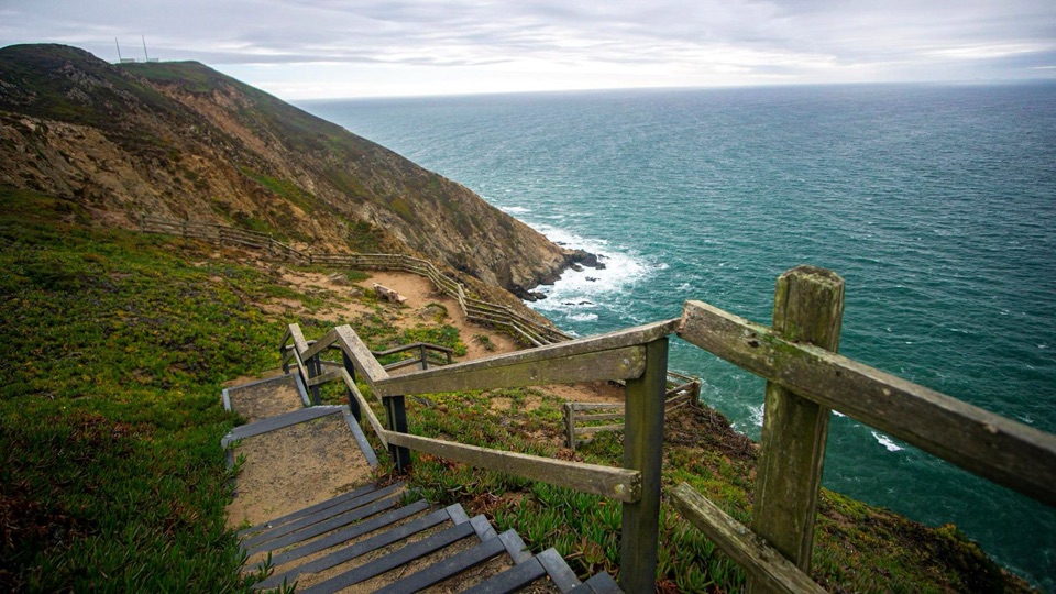
The walkThe trail leaves from the northwest end of the lighthouse visitors' parking lot.
The trail leaves from the northwest end of the lighthouse visitors' parking lot.
It runs about 0.2 miles (0.3 km) and descends on a sand-and-dirt path to the overlook.
Short and straightforward, but loose sand and a downhill grade mean you climb back up on the return.
The view and wildlifeWide ocean and beach views, dramatic cliffs, and surf that is often loud and powerful.
Wide ocean and beach views, dramatic cliffs, and surf that is often loud and powerful.
Bring binoculars. The South Beach elephant seal colony can often be picked out from up here, and gray whales are sometimes spotted in the surf in winter.
Wildlife is seasonal and never guaranteed. Treat any sighting as a bonus rather than the reason for the trip.
What to bringA windproof layer and a hat. It is frequently cold and windy, more than the drive out suggests.
A windproof layer and a hat. It is frequently cold and windy, more than the drive out suggests.
Binoculars, shoes you do not mind getting sandy, and water.
Do not count on cell service in this part of the seashore. Download maps in advance.
Honest drawbacksThe lighthouse visitors' parking lot holds roughly 38 vehicles and fills up, especially on…
The lighthouse visitors' parking lot holds roughly 38 vehicles and fills up, especially on weekend afternoons. Oversized vehicles need to park along Sir Francis Drake Boulevard east of the lot.
Wind and fog can flatten the view or cut the visit short.
This is a viewpoint, not beach access. You look down at the sand rather than walking on it.
Facilities are limited to restrooms near the parking area, so plan accordingly before the walk.