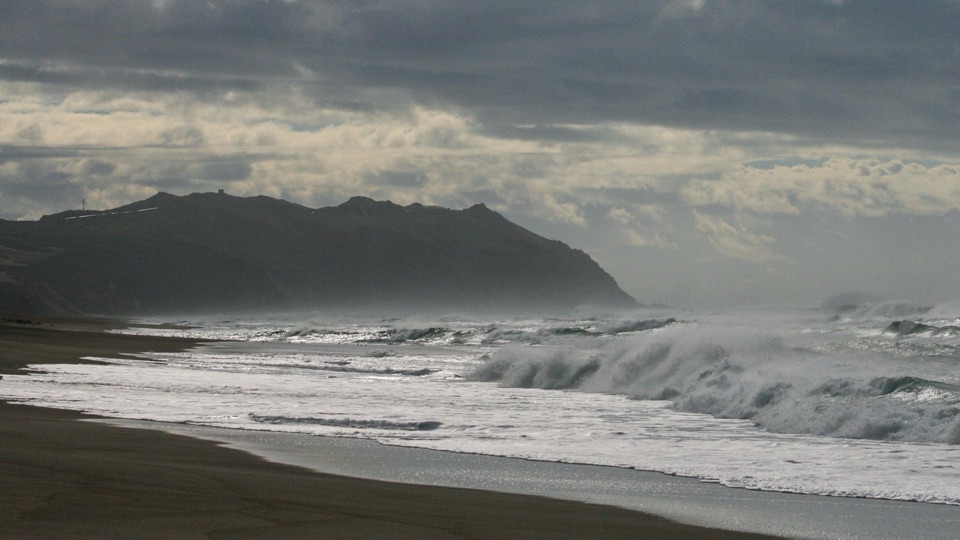
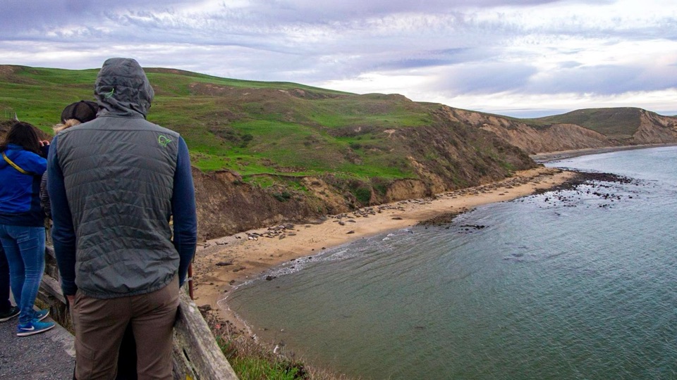
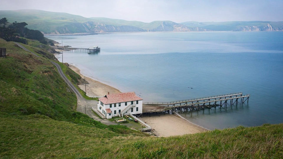
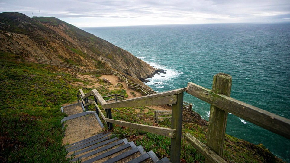
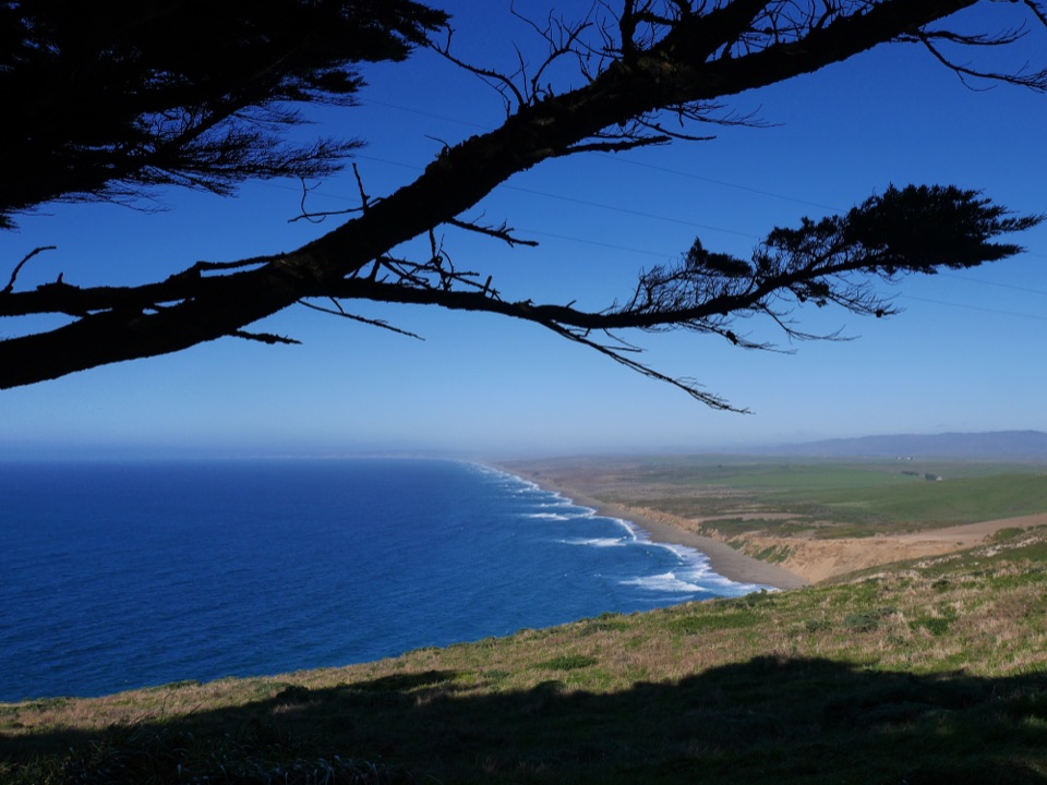
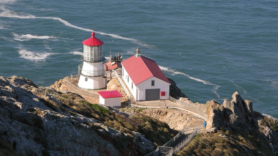
Drakes Beach in Point Reyes National Seashore

#3 of 30 sights in Point Reyes

Beach · Point Reyes National Seashore

Drakes Beach

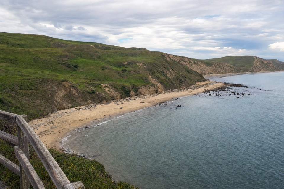
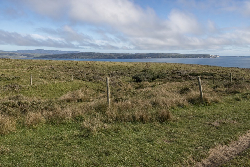
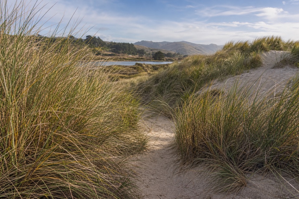
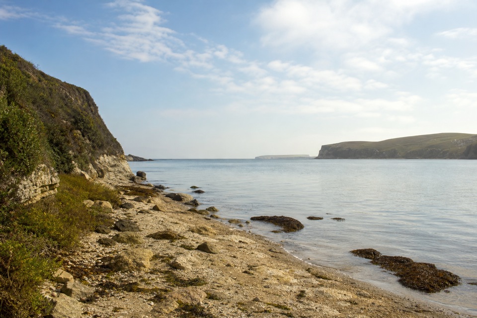
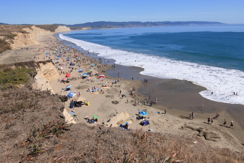
Pale striped cliffs, calmer bay water, and easy drive-up access

Photo: National Park Service
Type
Beach
Nearest trail
2.3 mi
Audio stories
4 nearby
  • Parking
  • Restrooms
  • Picnic tables
  • Scenic viewpoint

Hear the audio tour

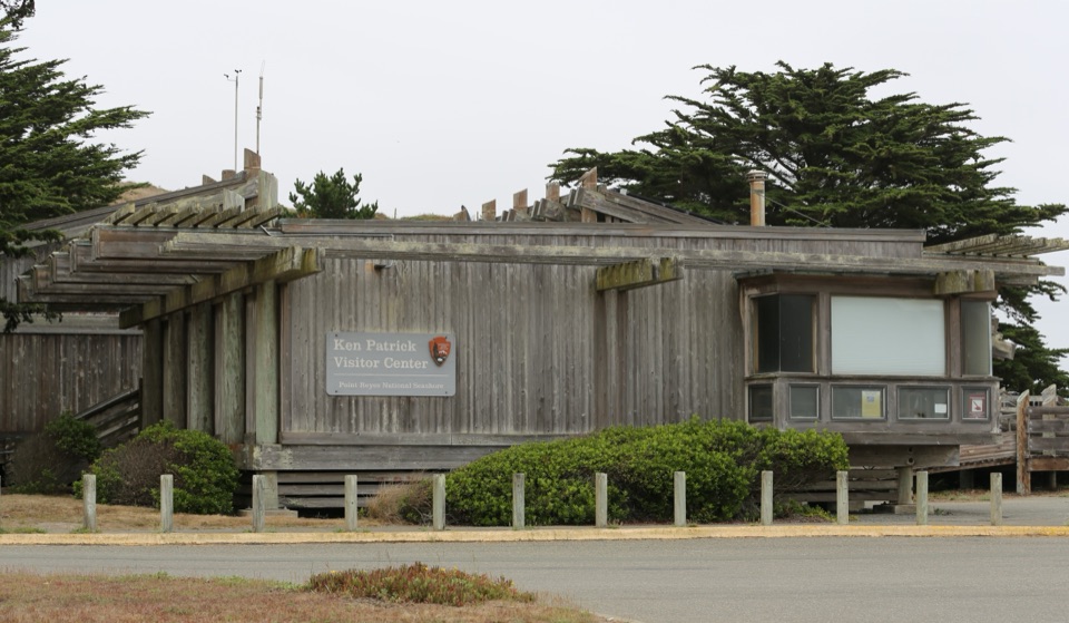
Drakes Beach and Visitor Center

Overview

About Drakes Beach

Why stop

  • The visitor center adds marine exhibits and wildlife context
  • Long sandy walks with tide-flat views

Heads up

  • Seasonal seal protection can limit beach access
  • Cold wind and water
This is the bay-facing beach at the Kenneth C. Patrick Visitor Center, and it earns a high spot on a first visit to the seashore. The beach is seasonally wide and backed by dramatic sandstone cliffs that Francis Drake reportedly compared to the cliffs of Dover, England. The sand in those cliffs was laid down in a shallow sea roughly 10 to 13 million years ago, then compacted and uplifted; erosion keeps exposing the striations you can see in the cliff faces.
Parkwolf’s verdictWhy stop here

Map

Where it is

Loading the Point Reyes map
Full map
BeachDrakes Beach38.02536, -122.96383
Keep this map with you offline in the Parkwolf app

Plan your stop

Before you go

Best time to go

  • The cliffs are the subject. Their layered faces photograph well from the open sand, and there is a designated scenic/photo spot near the parking area if you would rather not walk far.
  • Give yourself time for the drive. The approach is long, so build slack into your plan instead of a tight turnaround.
  • Pair the beach with the exhibits and bookstore so a windy stretch outside is not the whole visit.
  • Dress for wind. A chilly breeze is common here, even on otherwise pleasant days.
  • Check current park conditions before you set out, since access can change.

Access and verified amenities

Access from the parking area is easy and short. Available here: auto and bus/RV parking, benches and seating, accessible flush restrooms, picnic tables, trash receptacles, potable drinking water, beach and water access, a scenic/photo spot, an information kiosk, and ranger or staff presence. Picnic tables sit near the visitor center and along the northern edge of the parking lot.

4 active Point Reyes alerts

  • ClosureOld Tocaloma/Platform Bridge closed to vehiclesDo not drive across the Old Tocaloma/Platform Bridge; it is closed to all vehicular traffic until further notice.Official details
  • ClosurePalomarin Beach Trail closedPalomarin Beach Trail is closed to all visitors, employees, and residents until further notice; do not use the trail. - The trail is closed because unstable and failing sections have made it unsafe.Official details
See all 4 alerts
A park ranger sits on a dash-mounted phone, talking, as Parkwolf’s Tour Guide plays “Army Cutworm Moths: A Grizzly Bear Buffet” on Grand Loop Road below Dunraven Pass in Yellowstone
Parkwolf Tour GuideThe highest, rockiest slopes around here are a summer buffet for grizzly bears.

Point Reyes Tour Guide

Your drive to Drakes Beach, narrated.

Parkwolf is a GPS audio tour guide for Point Reyes National Seashore. As you drive, it chimes in with what’s ahead: hidden gems, upcoming stops, history, geology, and wildlife, right through your car’s speakers.

Recorded for this place

Drakes Beach and Visitor Center
0:00 / 0:40
“You're nearing Drakes Beach, where pale, banded sandstone cliffs curve around the bay. The layers began as sand in a shallow sea roughly ten to thirteen million years ago.”

Plays as you drive up to Drakes Beach in the Parkwolf Point Reyes Tour Guide.

More stories near here in the app

  • The Animals in the Cliffs
  • Look for the Whale’s Breath
  • Point Reyes Beach South
  • Chimney Rock and Elephant Seal Overlook
  • 61 audio storiesacross Point Reyes’s roads, triggered by GPS as you drive
  • Wildlife heatmapsfor Northern Elephant Seal, Grey Whale, Humpback Whale, and 13 more
  • Works offlinemaps, 65 trails, 41 places, and audio download before you lose signal
  • CarPlay readysimple controls built for the drive
★★★★★
“Fantastic app with many points of information… It’s great to just turn on while you’re driving and it gives you an audio tour of the national Park. We love it!!!!”
JMJamesApp Store review
Download Parkwolf on the App StoreGet Parkwolf on Google Play

4.7 from 8,600+ ratings

Guide

More about Drakes Beach

What you'll see and doLong, flat walks on soft sand below the cliff line, with tide-flat rock shelves and bay water…
  • Long, flat walks on soft sand below the cliff line, with tide-flat rock shelves and bay water in view.
  • Possible wildlife, not guaranteed: harbor seals, pelicans and other seabirds, crabs and other shore life, and northern elephant seals during some seasonal periods. Keep a respectful distance from seals and sea lions.
  • Visitor center exhibits next door covering 1500s maritime exploration, marine fossils, and marine environments, including a suspended minke whale skeleton.
  • Park bookstore carrying books, guides, maps, postcards, coffee, and packaged snacks.
How it differs from the exposed beachesBecause this beach faces the bay, waves here are usually much smaller than on the west-facing…

Because this beach faces the bay, waves here are usually much smaller than on the west-facing ocean beaches. That makes play at the water's edge relatively safer than at the surf-battered shoreline, though it does not make swimming or wading risk-free. Treat the calmer look as a difference in degree, not a green light.

SafetyNo lifeguards on any beach in the seashore.
  • No lifeguards on any beach in the seashore.
  • Real hazards include sneaker waves, rip currents, cold water, and hypothermia; coastal water can be as cold as 10 C / 50 F.
  • Stay well back from the water, supervise children closely, and do not assume calmer-looking water is safe.
Rules and seasonal accessPets are prohibited.
  • Pets are prohibited.
  • Camping and overnight vehicle parking are prohibited.
  • Fishing is prohibited. Drones are prohibited park-wide.
  • Glass containers are prohibited on the beaches.
  • Leave natural objects in place, including shells, rocks, fossils, flowers, and artifacts.
  • Beaches may be closed at times to protect northern elephant seals during pupping seasons or for visitor safety, so confirm current conditions before committing to the trip.
Honest drawbacksThe drive out is long, and the breeze can be cold enough to cut a beach walk short.

The drive out is long, and the breeze can be cold enough to cut a beach walk short. Elephant-seal protection can limit where you can go during seasonal periods, so the wide-open stroll you pictured may not be available on your date. Crowding varies by visit. Wildlife sightings are a possibility rather than a promise.

Wildlife

Wildlife in Point Reyes

All Point Reyes wildlife maps

Sighting maps show where each species has been reported across Point Reyes. Wildlife moves, so no sighting is guaranteed.

Keep exploring

Near Drakes Beach

See it all on the map

Trails nearby

More stops nearby

Parkwolf’s Point Reyes ranking

Top sights in Point Reyes

All 41 places
  1. 1Point Reyes LighthouseSight
  2. 2Chimney RockSight
  3. 4Cypress Tree TunnelSight
  4. 5Alamere FallsSight
  5. 6Pierce Point RanchSight
  6. 7Tomales PointSight

Take Parkwolf to Point Reyes.

The audio tour guide for the drive, plus offline maps, trails, and wildlife heatmaps for when the signal drops.

4.7 from 8,600+ ratings

Download Parkwolf on the App StoreGet Parkwolf on Google Play