Alamere Falls in Point Reyes National Seashore

#5 of 30 sights in Point Reyes

Sight · Point Reyes National Seashore

Alamere Falls

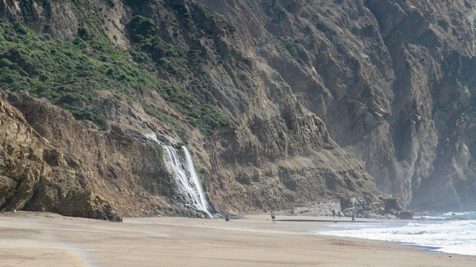
A 40-foot cascade spilling over coastal cliffs onto a wilderness beach

Photo: National Park Service
Type
Sight
Nearest trail
2.3 mi

Hear the audio tour

Palomarin Trailhead and Alamere Falls

Overview

About Alamere Falls

Why stop

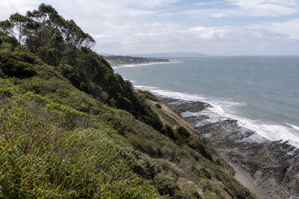
  • Long coastal approach with shifting vegetation and ocean views

Heads up

  • Long, demanding route with varied terrain
  • Tide and surf can make the final beach walk impossible

Map

Where it is

Loading the Point Reyes map
Full map
SightAlamere Falls37.95374, -122.78335
Keep this map with you offline in the Parkwolf app

Plan your stop

Before you go

Best time to go

Start early so you have daylight for the long return. Early weekday starts can help with the smaller lots, which often fill early on weekends and many summer weekdays. Some visitors find early weekdays quieter, though conditions vary. Above all, plan the hike around a low-tide window. For photography, the cliff face, falls, and beach all read well together from the sand, so give yourself time at the base rather than rushing the turnaround.


4 active Point Reyes alerts

  • ClosureOld Tocaloma/Platform Bridge closed to vehiclesDo not drive across the Old Tocaloma/Platform Bridge; it is closed to all vehicular traffic until further notice.Official details
  • ClosurePalomarin Beach Trail closedPalomarin Beach Trail is closed to all visitors, employees, and residents until further notice; do not use the trail. - The trail is closed because unstable and failing sections have made it unsafe.Official details
See all 4 alerts
A park ranger sits on a dash-mounted phone, talking, as Parkwolf’s Tour Guide plays “Army Cutworm Moths: A Grizzly Bear Buffet” on Grand Loop Road below Dunraven Pass in Yellowstone
Parkwolf Tour GuideThe highest, rockiest slopes around here are a summer buffet for grizzly bears.

Point Reyes Tour Guide

Your drive to Alamere Falls, narrated.

Parkwolf is a GPS audio tour guide for Point Reyes National Seashore. As you drive, it chimes in with what’s ahead: hidden gems, upcoming stops, history, geology, and wildlife, right through your car’s speakers.

Recorded for this place

Palomarin Trailhead and Alamere Falls
0:00 / 0:32
“You're approaching Palomarin Trailhead, the start of the long Coast Trail hike to Alamere Falls.”

Plays as you drive up to Alamere Falls in the Parkwolf Point Reyes Tour Guide.

More stories near here in the app

  • The Mill Behind Five Brooks Pond
  • After the Pelican's Splash
  • Five Brooks Picnic Area
  • The Coast Miwok Story Continues
  • 61 audio storiesacross Point Reyes’s roads, triggered by GPS as you drive
  • Wildlife heatmapsfor Northern Elephant Seal, Grey Whale, Humpback Whale, and 13 more
  • Works offlinemaps, 65 trails, 41 places, and audio download before you lose signal
  • CarPlay readysimple controls built for the drive
★★★★★
“Fantastic app with many points of information… It’s great to just turn on while you’re driving and it gives you an audio tour of the national Park. We love it!!!!”
JMJamesApp Store review
Download Parkwolf on the App StoreGet Parkwolf on Google Play

4.7 from 8,600+ ratings

Guide

More about Alamere Falls

Why make the tripA waterfall drops straight onto an open ocean beach.

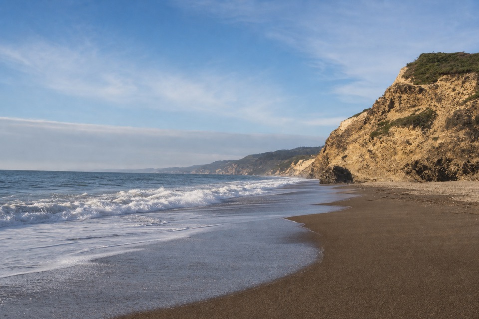
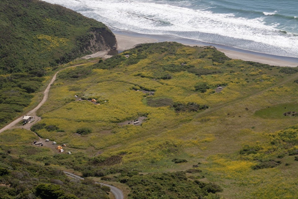
A waterfall drops straight onto an open ocean beach. Water cascades over an approximately 40-foot (12-meter) cliff onto the south end of Wildcat Beach, deep inside the Phillip Burton Wilderness. The combined waterfall-and-beach scene is the payoff, and it comes only after a long walk through changing coastal vegetation and bluff-top views.

What you seeA dark, layered coastal cliff streaked with green vegetation, the falls pouring down its face,…

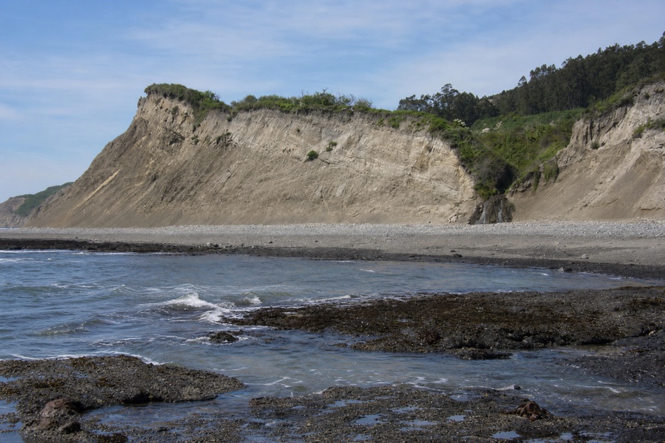
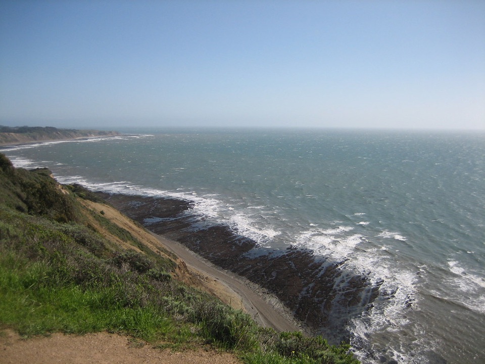
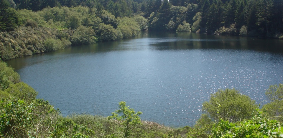
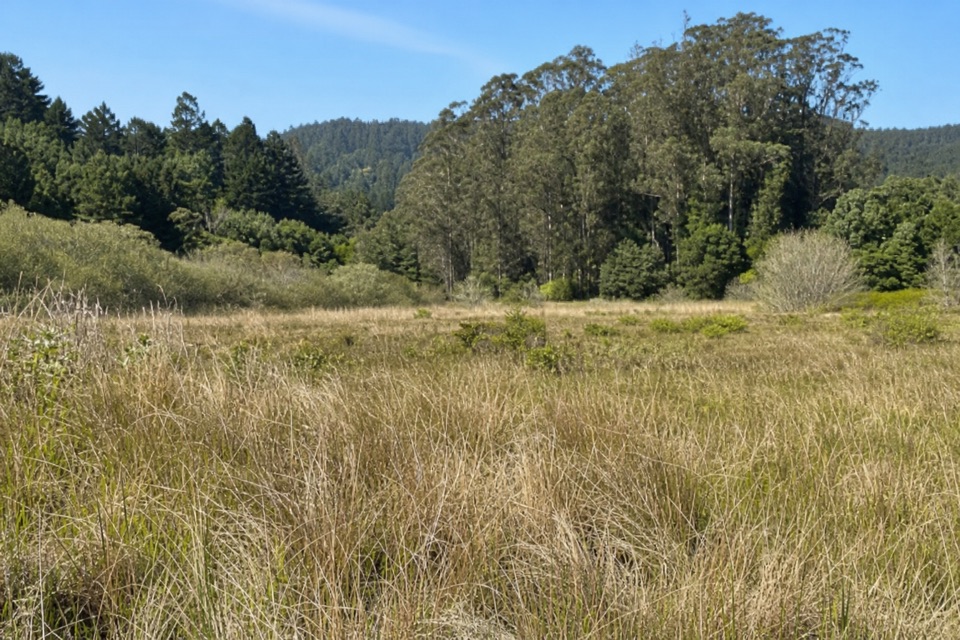
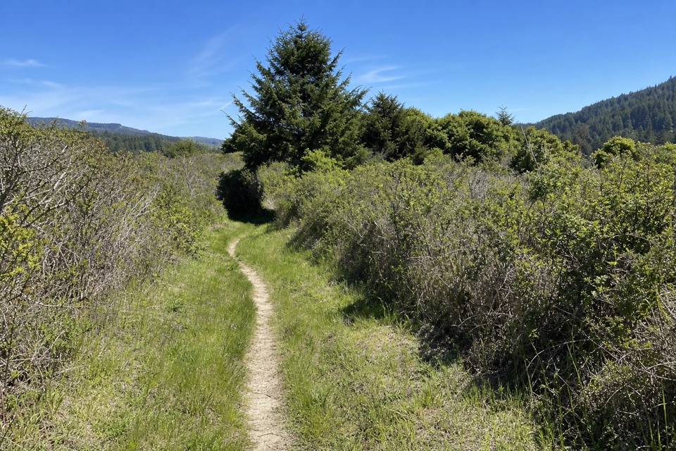
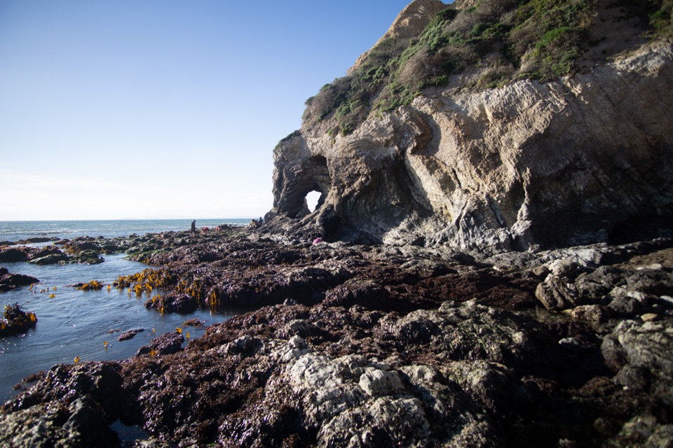
A dark, layered coastal cliff streaked with green vegetation, the falls pouring down its face, and sand and surf at its base. The approach itself is much of the reward, with shifting brush, ponds, and ocean panoramas along the way.

The maintained routeThere is no park-sanctioned "Alamere Falls Trail."

There is no park-sanctioned "Alamere Falls Trail." The route the park recommends goes via Wildcat Campground, then about 1.1 miles (1.7 km) south along Wildcat Beach to the falls. Common minimum one-way distances:

Plan on a full day out and back, whichever trailhead you choose.

  • Bear Valley Trailhead: 7.3 miles one way via Wildcat Campground. Large gravel lot, flush toilets, potable water.
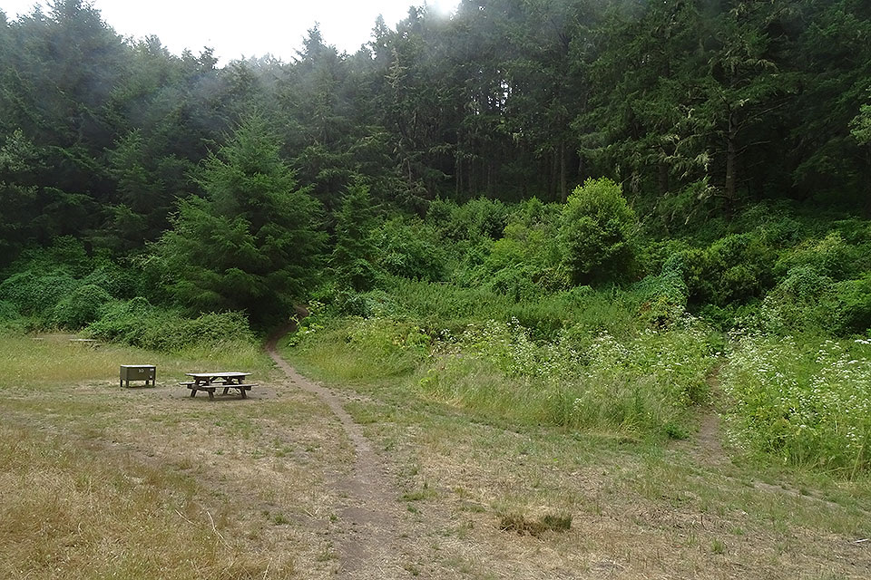
  • Palomarin Trailhead: 6.5 miles one way via Wildcat Campground. Small lot of about 75 spaces, four vault toilets, no potable water.
  • Five Brooks Trailhead: 7.1 miles one way via Wildcat Campground. Dirt and gravel lot, vault toilets, no potable water, and a longer overall route.
The beach section and tidesThe walk down Wildcat Beach should be attempted only during a low tide.

The walk down Wildcat Beach should be attempted only during a low tide. At higher tides the beach may be completely inundated, and even at low tide waves can reach the bluffs. If waves are reaching the base of the bluffs, do not attempt the walk. Build your whole day around a low-tide window.

SafetyThe social-media shortcut is an unmaintained route with crumbling, eroding cliffs, poison oak,…

The social-media shortcut is an unmaintained route with crumbling, eroding cliffs, poison oak, ticks, and frequent injuries. Skip it. At the falls, stay on official trails, keep away from cliff edges and eroding ground, and do not climb the cliffs. There is no cell service out here and no shelter from weather in the wilderness.

Practical preparationCarry all your water.
  • Carry all your water. There is no potable water at Palomarin or Five Brooks, and none at the falls.
  • Bring at least a couple of liter-sized bottles per person.
  • No food services at or beyond the trailheads, so pack meals and snacks.
  • No restrooms near Alamere Falls or Bass Lake. Use facilities at the trailhead.
  • Wear layers, bring the Ten Essentials, and expect varied, sometimes slippery terrain. Sturdy footwear and traction help.
Pets and bicyclesPets are prohibited on almost all trails leading to Alamere Falls, except working service dogs.

Pets are prohibited on almost all trails leading to Alamere Falls, except working service dogs. Bicycles are prohibited in the wilderness.

Honest drawbacksThis is a long, demanding hike with no facilities at the destination, and the final beach…

This is a long, demanding hike with no facilities at the destination, and the final beach stretch depends entirely on tide and surf. If the tide or waves are wrong, the responsible move is to turn around without seeing the falls up close. Add limited parking at the smaller trailheads, no cell service.

Wildlife

Wildlife in Point Reyes

All Point Reyes wildlife maps

Sighting maps show where each species has been reported across Point Reyes. Wildlife moves, so no sighting is guaranteed.

Keep exploring

Near Alamere Falls

See it all on the map

Trails nearby

More stops nearby

Parkwolf’s Point Reyes ranking

Top sights in Point Reyes

All 41 places
  1. 1Point Reyes LighthouseSight
  2. 2Chimney RockSight
  3. 3Drakes BeachBeach
  4. 4Cypress Tree TunnelSight
  5. 6Pierce Point RanchSight
  6. 7Tomales PointSight

Take Parkwolf to Point Reyes.

The audio tour guide for the drive, plus offline maps, trails, and wildlife heatmaps for when the signal drops.

4.7 from 8,600+ ratings

Download Parkwolf on the App StoreGet Parkwolf on Google Play