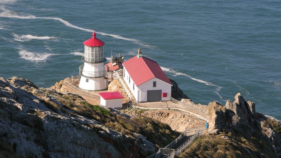
Pierce Point Ranch in Point Reyes National Seashore

#6 of 30 sights in Point Reyes

Sight · Point Reyes National Seashore

Pierce Point Ranch

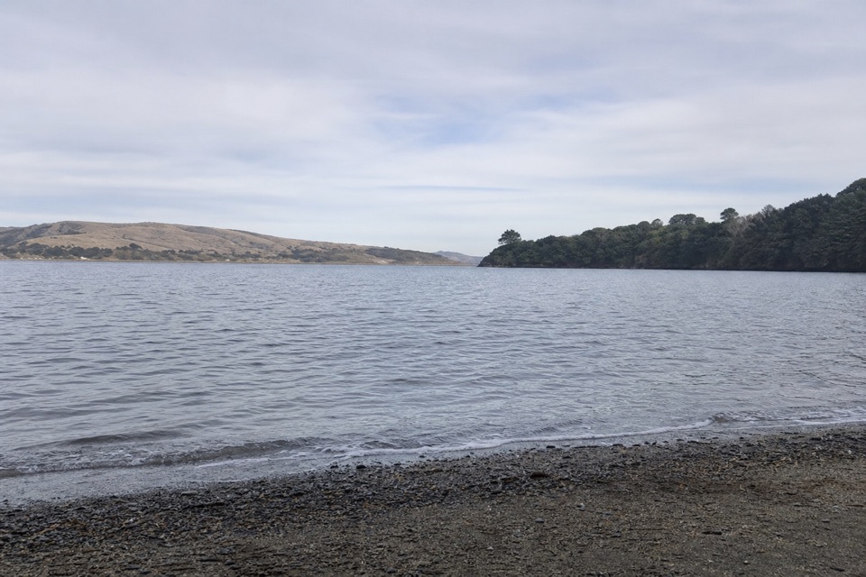
Weathered 1858 dairy ranch you can wander, high above Tomales Bay

Photo: National Park Service
Type
Sight
Nearest trail
0.1 mi
Audio stories
3 nearby
  • Exhibit
  • Parking
  • Picnic tables

Hear the audio tour

Pierce Point Ranch and Tomales Point

Overview

About Pierce Point Ranch

Why stop

  • Well-preserved dairy history with informative buildings and signs
  • Tomales Bay views and a strong starting point for the Tomales Point walk

Heads up

  • Remote, slow approach with wind and fog
  • No water or toilets at the ranch complex
A cluster of white clapboard barns, dairy houses, a schoolhouse and a blacksmith shop sits at the windy end of Pierce Point Road, overlooking Tomales Bay. It is the best surviving example of a west Marin dairy ranch from the 1800s, and it reads that way: enough buildings survive, close enough together, that you can actually picture the work that happened here.
Parkwolf’s verdictWhy stop

Map

Where it is

Loading the Point Reyes map
Full map
SightPierce Point Ranch38.18984, -122.95443
Keep this map with you offline in the Parkwolf app

Plan your stop

Before you go

Best time to go

This is one of the most exposed corners of the seashore. Expect wind, cool air, fog that can erase the bay views, and rain in the wet months. Layers and a windproof shell matter more than sunscreen most days, though bring both. Allow time for the slow drive out and back. Pack water and a snack for the picnic tables, since there is nothing to buy nearby.


Getting there and parking

Drive to the far north end of Pierce Point Road, past the Tomales Bay and beach turnoffs. The final stretch is narrow and slow, and the whole approach takes longer than the map distance suggests. Park at the Pierce Ranch and Tomales Point trailhead lot, which can fill on busy days since hikers use the same spaces. Cell reception in the Tomales Point area is minimal to nonexistent, so download directions before you leave the highway. A telephone in the lower parking area is accessible.

4 active Point Reyes alerts

  • ClosureOld Tocaloma/Platform Bridge closed to vehiclesDo not drive across the Old Tocaloma/Platform Bridge; it is closed to all vehicular traffic until further notice.Official details
  • ClosurePalomarin Beach Trail closedPalomarin Beach Trail is closed to all visitors, employees, and residents until further notice; do not use the trail. - The trail is closed because unstable and failing sections have made it unsafe.Official details
See all 4 alerts
A park ranger sits on a dash-mounted phone, talking, as Parkwolf’s Tour Guide plays “Army Cutworm Moths: A Grizzly Bear Buffet” on Grand Loop Road below Dunraven Pass in Yellowstone
Parkwolf Tour GuideThe highest, rockiest slopes around here are a summer buffet for grizzly bears.

Point Reyes Tour Guide

Your drive to Pierce Point Ranch, narrated.

Parkwolf is a GPS audio tour guide for Point Reyes National Seashore. As you drive, it chimes in with what’s ahead: hidden gems, upcoming stops, history, geology, and wildlife, right through your car’s speakers.

Recorded for this place

Pierce Point Ranch and Tomales Point
0:00 / 0:34
“Pierce Point Ranch is ahead, a cluster of white clapboard barns, dairy buildings, and a schoolhouse at the end of the road.”

Plays as you drive up to Pierce Point Ranch in the Parkwolf Point Reyes Tour Guide.

More stories near here in the app

  • McClures Beach Cove
  • The Beach Nursery You Might Miss
  • Kehoe Beach
  • Why the Dunes Need to Move
  • 61 audio storiesacross Point Reyes’s roads, triggered by GPS as you drive
  • Wildlife heatmapsfor Northern Elephant Seal, Grey Whale, Humpback Whale, and 13 more
  • Works offlinemaps, 65 trails, 41 places, and audio download before you lose signal
  • CarPlay readysimple controls built for the drive
★★★★★
“Fantastic app with many points of information… It’s great to just turn on while you’re driving and it gives you an audio tour of the national Park. We love it!!!!”
JMJamesApp Store review
Download Parkwolf on the App StoreGet Parkwolf on Google Play

4.7 from 8,600+ ratings

Guide

More about Pierce Point Ranch

The historyEstablished in 1858 and, by the late 1800s, the largest of four independent ranches on the…
  • Established in 1858 and, by the late 1800s, the largest of four independent ranches on the Point Reyes peninsula.
  • Butter was the specialty. In the late 1800s the ranch's entire butter output was bought by Goldberg, Bowen, and Company, and by 1900 it was considered the best dairy ranch in California.
  • Operations ended in 1973, and the complex was added to the National Register of Historic Places in 1985.
What you see and doA flat trail provides access to a self-guided tour of the ranch complex, passing the main…

A flat trail provides access to a self-guided tour of the ranch complex, passing the main house, barns, dairy buildings, schoolhouse and outbuildings, with interpretive panels explaining what each structure did and how the operation ran. Read as much or as little as you like. The main house is a park employee residence and is not open to visitors, so admire it from the path and keep clear of the private yard. The Tomales Point Trail starts here, a 9.7-mile round trip along the ridge crest with long views toward Tomales Bay, Bolinas Ridge, Bodega Bay and the Point Reyes coast. Tule elk, birds and wildflowers are part of what the wider Tomales Point area is known for, and sightings are possible rather than guaranteed.

Facilities, water and toiletsFour picnic tables at the historic ranch, plus garbage and recycling receptacles near the…
  • Four picnic tables at the historic ranch, plus garbage and recycling receptacles near the parking area.
  • Interpretive exhibits and signage throughout the complex.
  • No drinking water anywhere here. Bring your own.
  • No toilets at the ranch itself. The nearest vault toilets are at the McClures Beach parking lot, roughly a quarter mile away.
Access notesThe trail through the ranch complex is flat, and the interpretive panels use ADA-compliant…

The trail through the ranch complex is flat, and the interpretive panels use ADA-compliant fonts. Surfaces and building interiors vary, so treat the site as partly rather than fully barrier-free and check what suits your needs before committing to the drive.

Rules and honest drawbacksStay on designated trails and well back from cliff edges. Respect the employee residence.

Stay on designated trails and well back from cliff edges. Respect the employee residence. Dogs are not allowed beyond Pierce Point Road and the parking lots, with an exception for working service dogs. Drones are prohibited on National Park Service lands in the seashore, and there is no camping or overnight vehicle parking. The drawbacks are real: it is a long remote drive for a compact site, the weather can be miserable, and if you are not interested in reading signs about butter production you may be done quickly. Pair it with the Tomales Point Trail or nearby beaches to make the trip worth the mileage.

Wildlife

Wildlife in Point Reyes

All Point Reyes wildlife maps

Sighting maps show where each species has been reported across Point Reyes. Wildlife moves, so no sighting is guaranteed.

Parkwolf’s Point Reyes ranking

Top sights in Point Reyes

All 41 places
  1. 1Point Reyes LighthouseSight
  2. 2Chimney RockSight
  3. 3Drakes BeachBeach
  4. 4Cypress Tree TunnelSight
  5. 5Alamere FallsSight
  6. 7Tomales PointSight

Take Parkwolf to Point Reyes.

The audio tour guide for the drive, plus offline maps, trails, and wildlife heatmaps for when the signal drops.

4.7 from 8,600+ ratings

Download Parkwolf on the App StoreGet Parkwolf on Google Play