Point Reyes Lighthouse in Point Reyes National Seashore

#1 of 30 sights in Point Reyes

Sight · Point Reyes National Seashore

Point Reyes Lighthouse

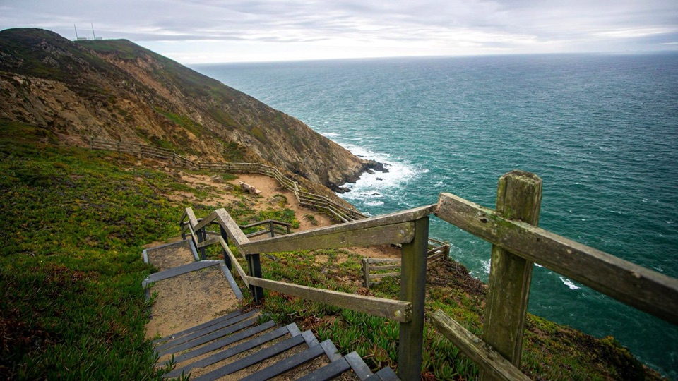
313 steps down to an 1870 Fresnel lens above Pacific surf

Photo: National Park Service
Type
Sight
Nearest trail
2.4 mi
Audio stories
2 nearby
  • Exhibit
  • Scenic viewpoint
  • Parking
  • Restrooms

Hear the audio tour

Point Reyes Lighthouse Headlands

Overview

About Point Reyes Lighthouse

Why stop

  • Iconic tower and original Fresnel lens
  • Strong whale and seabird viewing from the observation deck

Heads up

  • 313-step descent and a longer climb back
  • Wind and fog can erase the view
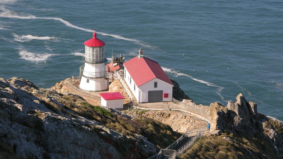
Built in 1870 at the end of a headland that runs ten miles out to sea, this light guided mariners for 105 years before it was retired in 1975 and an automated light took over below the tower. The white tower with its red roof sits low on the rocky headland above the water. The original first-order Fresnel lens, made in France in 1867 and hauled over the headlands by wagon, has 24 glass panels and weighs about 6,000 pounds; its clockwork rotation once produced a flash every five seconds. The 1906 earthquake shifted the whole peninsula about 18 feet north and the only damage here was the lens slipping off its tracks.
Parkwolf’s verdictWhy it's worth the drive

Map

Where it is

Loading the Point Reyes map
Full map
SightPoint Reyes Lighthouse37.99560, -123.02320
Keep this map with you offline in the Parkwolf app

Plan your stop

Before you go

Best time to go

The main lot holds only 38 vehicles and fills up, especially in the afternoon, so arrive early. Large RVs and trailers cannot use the lighthouse lot. The drive west from the Olema, Point Reyes Station, and Bear Valley area is about 20 miles of slow road, making this a substantial out-and-back; budget several hours. Pick a clear day if you can, since fog can erase the distant views entirely. Winter and spring are good times for whale and seabird interest, though nothing is guaranteed on any given day. Visitor center and stair schedules vary, so treat access to the buildings and the tower as a bonus rather than a guarantee.


Access

The observation deck and restrooms are accessible. Vehicles displaying a disabled-person placard or plate may pass the gate to a closer accessible parking area, and the paved path from there to the visitor center and deck is wheelchair-accessible. The stairs and the tower itself are not accessible.

4 active Point Reyes alerts

  • ClosureOld Tocaloma/Platform Bridge closed to vehiclesDo not drive across the Old Tocaloma/Platform Bridge; it is closed to all vehicular traffic until further notice.Official details
  • ClosurePalomarin Beach Trail closedPalomarin Beach Trail is closed to all visitors, employees, and residents until further notice; do not use the trail. - The trail is closed because unstable and failing sections have made it unsafe.Official details
See all 4 alerts
A park ranger sits on a dash-mounted phone, talking, as Parkwolf’s Tour Guide plays “Army Cutworm Moths: A Grizzly Bear Buffet” on Grand Loop Road below Dunraven Pass in Yellowstone
Parkwolf Tour GuideThe highest, rockiest slopes around here are a summer buffet for grizzly bears.

Point Reyes Tour Guide

Your drive to Point Reyes Lighthouse, narrated.

Parkwolf is a GPS audio tour guide for Point Reyes National Seashore. As you drive, it chimes in with what’s ahead: hidden gems, upcoming stops, history, geology, and wildlife, right through your car’s speakers.

Recorded for this place

Point Reyes Lighthouse Headlands
0:00 / 0:32
“You're approaching the Point Reyes Lighthouse headlands. The original French-made Fresnel lens weighs about six thousand pounds and once flashed every five seconds.”

Plays as you drive up to Point Reyes Lighthouse in the Parkwolf Point Reyes Tour Guide.

More stories near here in the app

  • Where Elephant Seals Go
  • Look for the Whale’s Breath
  • Chimney Rock and Elephant Seal Overlook
  • The Animals in the Cliffs
  • 61 audio storiesacross Point Reyes’s roads, triggered by GPS as you drive
  • Wildlife heatmapsfor Northern Elephant Seal, Grey Whale, Humpback Whale, and 13 more
  • Works offlinemaps, 65 trails, 41 places, and audio download before you lose signal
  • CarPlay readysimple controls built for the drive
★★★★★
“Fantastic app with many points of information… It’s great to just turn on while you’re driving and it gives you an audio tour of the national Park. We love it!!!!”
JMJamesApp Store review
Download Parkwolf on the App StoreGet Parkwolf on Google Play

4.7 from 8,600+ ratings

Guide

More about Point Reyes Lighthouse

The walk and the 313 stepsFrom the main visitors' lot it is roughly 0.

From the main visitors' lot it is roughly 0.45 mile, mostly uphill, to the Lighthouse Visitor Center and observation deck. From there the lighthouse is another 900 feet down 313 steps, about the equivalent of 20 stories and around 240 feet of descent. Figure 5 to 10 minutes down and 10 to 20 minutes back up, plus however long you linger at the base. The climb back is the real effort, and it is honest to skip the stairs entirely: the observation deck delivers much of the view. Stair access is closed for safety when winds top 40 mph, which happens often here.

Prepare for wind and fogThis is one of the windiest, foggiest points on the California coast.

This is one of the windiest, foggiest points on the California coast. Expect high wind, cool air, fog, and possible rain on the walk even when inland Marin is warm, so wear layers and a windproof shell and hold onto hats. Bring water and food; services are sparse west of Inverness. Restrooms are near the parking and garage area.

Wildlife and photographyThe deck is a strong vantage for whale watching and seabirds.

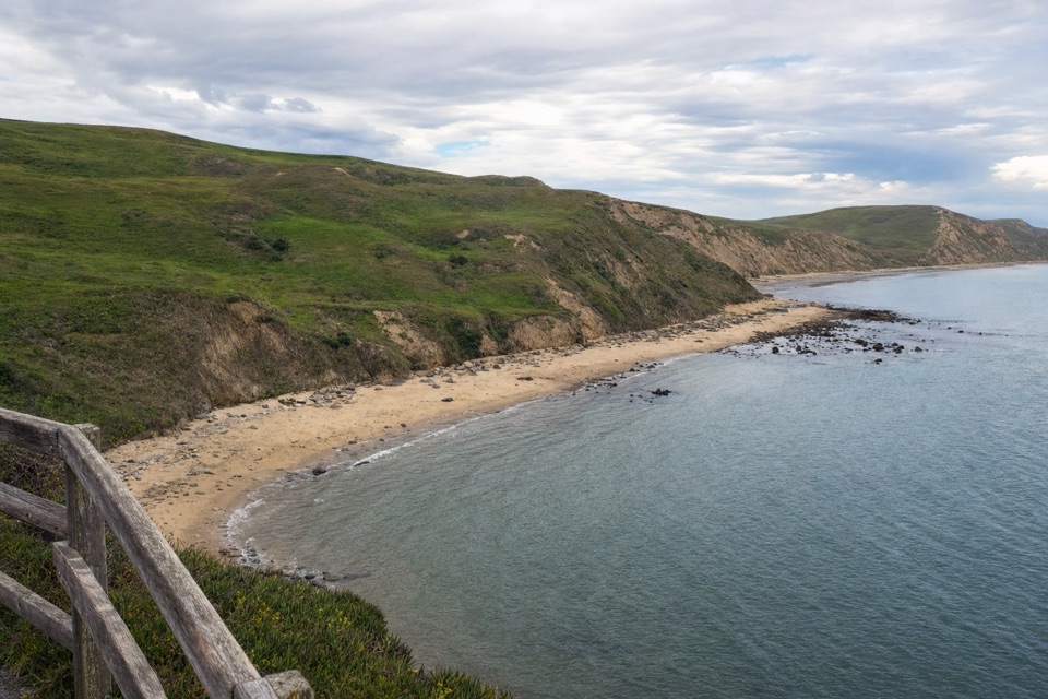
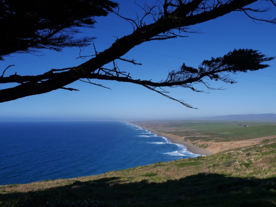
The deck is a strong vantage for whale watching and seabirds. A common murre colony on the offshore rocks can hold roughly 20,000 birds in spring, and sea lions often haul out on a pyramidal rock northwest of the colony. On clear days the view can stretch to Point Reyes Beach, Tomales Point, Bodega Head, Mount Saint Helena, the Farallon Islands, Mount Tamalpais, and the Marin Headlands. Bring binoculars and a longer lens; the stairway itself, angling down to the tower, is the signature shot.

Inside the buildingsWhen open, the Lighthouse Visitor Center holds exhibits on the light and its keepers, whales,…

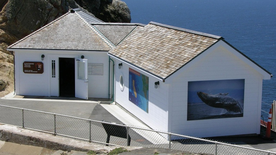
When open, the Lighthouse Visitor Center holds exhibits on the light and its keepers, whales, seals and sea lions, wildflowers, local birds, and shipwrecks, including a Fresnel lens display. The nearby Ocean Exploration Center has marine-life exhibits and a large window facing the Pacific, useful on days when the fog closes in.

Honest drawbacksLong, slow drive for a short site visit, with limited parking that fills by midday.
  • Long, slow drive for a short site visit, with limited parking that fills by midday.
  • Fog can erase the view completely, including the lighthouse from the deck.
  • Cold and exposed almost year-round, and wind can shut the stairs.
  • The uphill return from the tower, then from the lot, surprises people; not a casual stroll.

Wildlife

Wildlife in Point Reyes

All Point Reyes wildlife maps

Sighting maps show where each species has been reported across Point Reyes. Wildlife moves, so no sighting is guaranteed.

Parkwolf’s Point Reyes ranking

Top sights in Point Reyes

All 41 places
  1. 2Chimney RockSight
  2. 3Drakes BeachBeach
  3. 4Cypress Tree TunnelSight
  4. 5Alamere FallsSight
  5. 6Pierce Point RanchSight
  6. 7Tomales PointSight

Take Parkwolf to Point Reyes.

The audio tour guide for the drive, plus offline maps, trails, and wildlife heatmaps for when the signal drops.

4.7 from 8,600+ ratings

Download Parkwolf on the App StoreGet Parkwolf on Google Play