Chimney Rock Trail in Point Reyes National Seashore

#3 of 65 trails in Point Reyes

Point Reyes National Seashore, CA

Chimney Rock Trail

A short headland walk for ocean views and spring wildflowers.

Photo: Wikimedia Commons
Length
1.8mi
Time
1.3hr
Elev. change
167ft
Difficulty
Easy
  • No dogs
  • High point 210 ft

Hear the audio tour

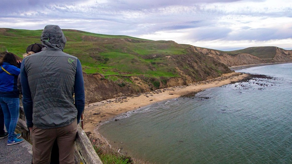
Chimney Rock and Elephant Seal Overlook

Overview

About Chimney Rock Trail

Why go

  • Wide coastal views and spring wildflowers on a short hike.
  • Benches at the headland tip.

Heads up

  • Small shared lot can be tight, especially in the afternoon.
  • Exposed, eroding bluff edges and one rutted climb need care.
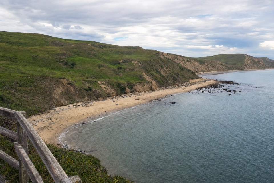
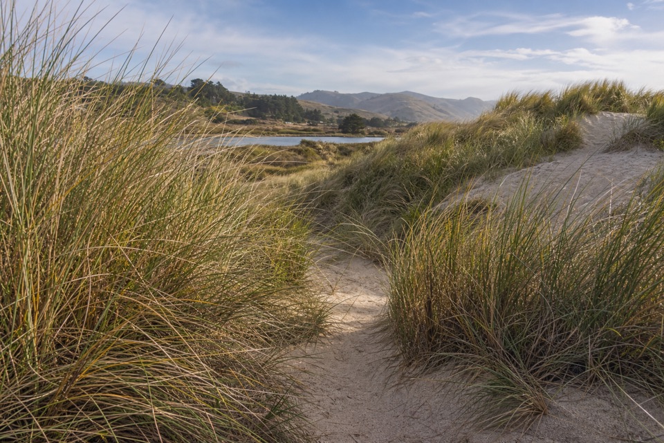
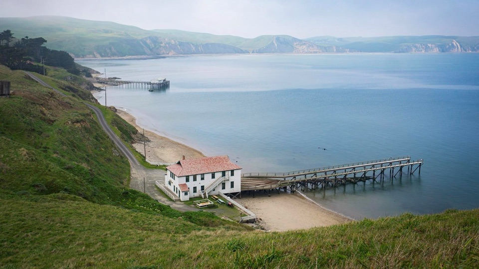
Chimney Rock Trail is a 1.75-mile round-trip out-and-back from the trailhead at the southeast end of Point Reyes's headlands. It crosses an open, grassy peninsula to a small bench area at its tip, then returns the same way. The payoff is a lot of ocean for a short, easy hike: Drakes Bay lies to the north and the Pacific opens out around the point. I'd choose it for a quick coastal walk with wildflowers and wide views, not as a route down to the water. Give it an hour or so for the walk and time at the end; a slower pace and wildlife stops can stretch it closer to 90 minutes. This is a simple route to follow, but it stays exposed on a narrow piece of coast rather than winding through sheltered forest.
Parkwolf’s verdictIs this the coastal walk for you?

Map & elevation

The route

Loading the Point Reyes map
Full map
Elevation43–210 ft
TrailheadChimney Rock Trailhead37.99512, -122.97973
Keep this map with you offline in the Parkwolf app

Plan your hike

Before you go

Parking

Start at Chimney Rock Trailhead parking lot. The paved lot has about 20 spaces shared with Elephant Seal Overlook and the Historic Lifeboat Station; parking is especially limited in the afternoon. Do not park on the shoulder or off pavement. No parking or entrance fee.

Safety

Stay on the designated path and behind barriers. Coastal bluffs can crumble or slide, and unofficial paths lead toward undercut edges. Cliff and tidepool areas south of the headlands toward the lighthouse are closed to entry.

4 active Point Reyes alerts

  • ClosureOld Tocaloma/Platform Bridge closed to vehiclesDo not drive across the Old Tocaloma/Platform Bridge; it is closed to all vehicular traffic until further notice.Official details
  • ClosurePalomarin Beach Trail closedPalomarin Beach Trail is closed to all visitors, employees, and residents until further notice; do not use the trail. - The trail is closed because unstable and failing sections have made it unsafe.Official details
See all 4 alerts
A park ranger sits on a dash-mounted phone, talking, as Parkwolf’s Tour Guide plays “Army Cutworm Moths: A Grizzly Bear Buffet” on Grand Loop Road below Dunraven Pass in Yellowstone
Parkwolf Tour GuideThe highest, rockiest slopes around here are a summer buffet for grizzly bears.

Point Reyes Tour Guide

Your drive to Chimney Rock Trail, narrated.

Parkwolf is a GPS audio tour guide for Point Reyes National Seashore. As you drive, it chimes in with what’s ahead: hidden gems, upcoming stops, history, geology, and wildlife, right through your car’s speakers.

Recorded for this trailhead

Chimney Rock and Elephant Seal Overlook
0:00 / 0:32
“Up ahead is Chimney Rock, a narrow headland with Drakes Bay on one side and the open Pacific on the other.”

Plays as you drive up to this trailhead in the Parkwolf Point Reyes Tour Guide.

More stories near here in the app

  • Where Elephant Seals Go
  • Look for the Whale’s Breath
  • Point Reyes Lighthouse Headlands
  • Drakes Beach and Visitor Center
  • 61 audio storiesacross Point Reyes’s roads, triggered by GPS as you drive
  • Wildlife heatmapsfor Northern Elephant Seal, Grey Whale, Humpback Whale, and 13 more
  • Works offlinemaps, 65 trails, 41 places, and audio download before you lose signal
  • CarPlay readysimple controls built for the drive
★★★★★
“Fantastic app with many points of information… It’s great to just turn on while you’re driving and it gives you an audio tour of the national Park. We love it!!!!”
JMJamesApp Store review
Download Parkwolf on the App StoreGet Parkwolf on Google Play

4.7 from 8,600+ ratings

Trail guide

Hiking Chimney Rock Trail

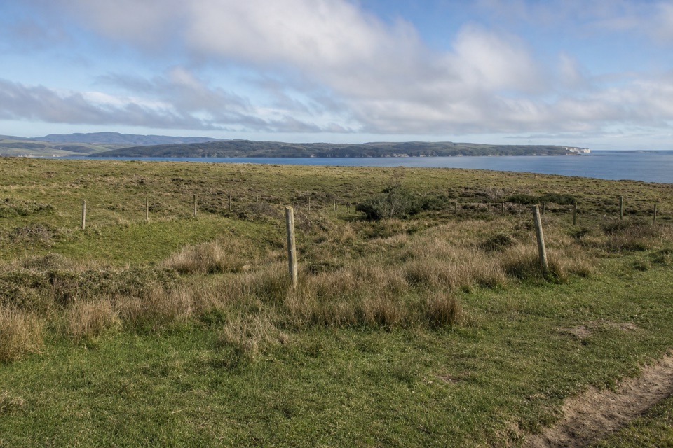
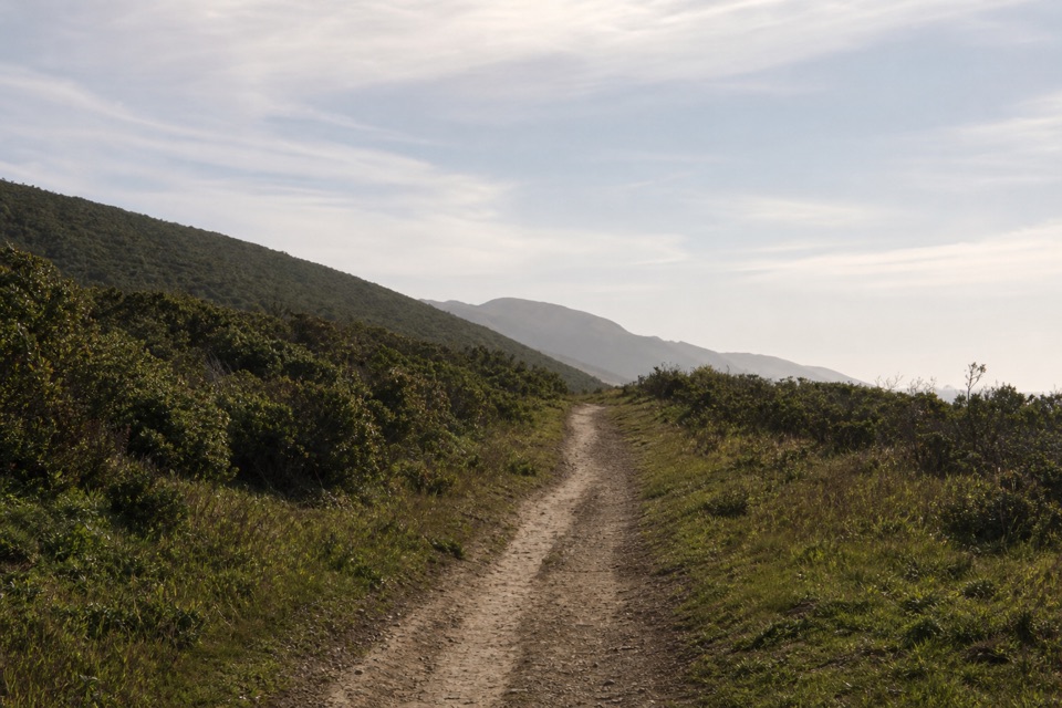
Across the narrow headlandFrom the lot, a narrow dirt tread starts nearly flat across low coastal grassland.

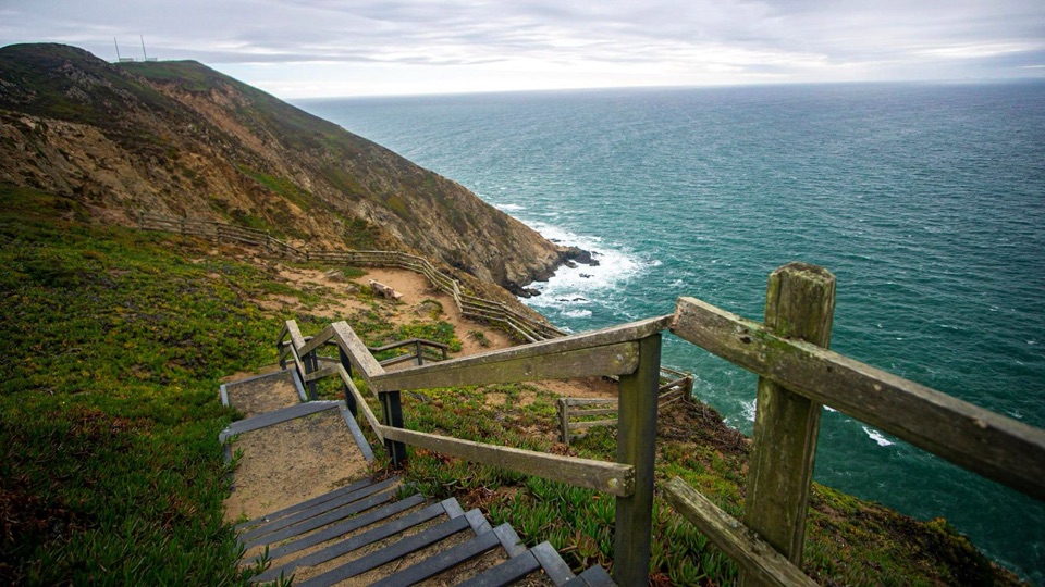
From the lot, a narrow dirt tread starts nearly flat across low coastal grassland. That open first stretch is about 0.4 mile. The route then crosses the peninsula's narrowest part, where coastal erosion has opened cracks and left exposed faces. Keep to the maintained track and stay back from the edge; unofficial paths branch toward undercut bluffs and aren't safe. Just beyond this pinch point, the path climbs roughly 75 feet over about 720 feet on a short, rutted patch of soft rock, then eases off and narrows again. The last stretch follows the spine of the headland and gradually descends to the tip. The return uses the same trail, so save a little energy for the small uphill section on your way back. The climb is brief rather than sustained, but the loose footing is the part that makes this feel less like a paved overlook.

Stay at the endAt the point, benches give you a place to sit with water in almost every direction.

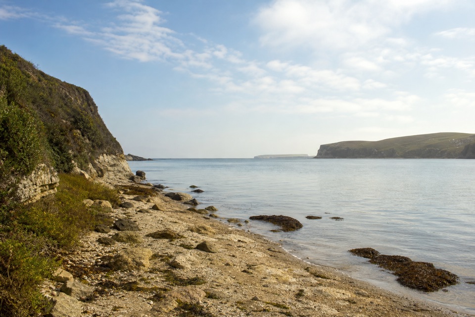
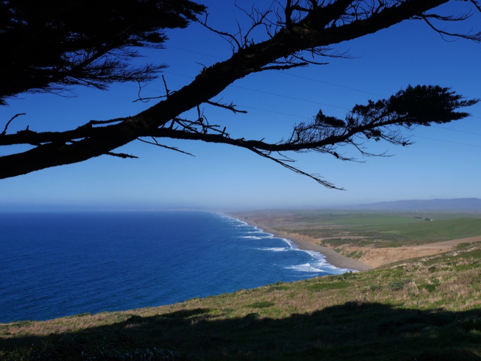
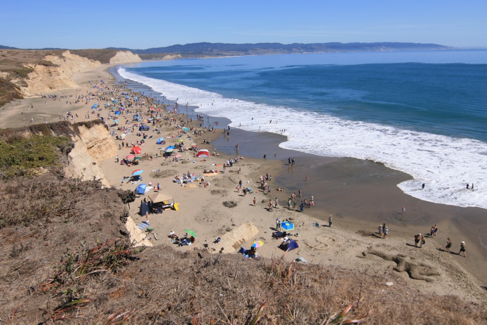
At the point, benches give you a place to sit with water in almost every direction. On clear days you can see San Francisco and Montara Mountain beyond Drakes Bay. In spring, diverse wildflowers line the route, and gray whales pass offshore from January through May, especially March and April. They are a bonus, not a guarantee. For a photo, include the offshore sea stack beside Chimney Rock with the Pacific behind it; that makes the trail's landmark clear. If seals are your main reason for coming, the nearby Elephant Seal Overlook is the better viewing stop and shares the same parking lot. The trail itself doesn't reach a beach or tidepools, and the view is the reward rather than a place to scramble down to the water.


Access and footingPlan on a breeze: the path is exposed and the headlands can be windy, while July through…

Plan on a breeze: the path is exposed and the headlands can be windy, while July through September often brings fog. Winter is commonly rainy or drizzly. The paved lot has about 20 spaces shared with the seal overlook and historic lifeboat station, and it can fill in the afternoon; don't park on the shoulder or off pavement. There is a vault toilet but no drinking water or food service, so sort those out before heading west of Inverness. Parking and entrance are free. The trail is open for day hiking from 6 a.m. to midnight, year-round, subject to advisories, and no reservation is needed. Dogs and bicycles aren't allowed. Keep behind the barriers and well back from the cliffs; erosion can make the bluff edges unstable.

Wildlife

Wildlife in Point Reyes

All Point Reyes wildlife maps

Sighting maps show where each species has been reported across Point Reyes. Wildlife moves, so no sighting is guaranteed.

Keep exploring

Near Chimney Rock Trail

See it all on the map

Trails that start nearby

Places near the trailhead

Parkwolf’s Point Reyes ranking

Top-rated trails in Point Reyes

All 65 trails
  1. 1Tomales Point TrailChallenging · 9.5 mi
  2. 2Alamere Falls via Palomarin and Wildcat BeachChallenging · 13.2 mi
  3. 4Abbotts Lagoon TrailEasy · 2.8 mi
  4. 5Bear Valley Trail to Miller PointModerate · 9 mi
  5. 6Drakes Head via Estero TrailModerate · 8.8 mi
  6. 7Laguna-Coast LoopModerate · 5 mi

Take Parkwolf to Point Reyes.

The audio tour guide for the drive, plus offline maps, trails, and wildlife heatmaps for when the signal drops.

4.7 from 8,600+ ratings

Download Parkwolf on the App StoreGet Parkwolf on Google Play