Pros & cons
PROS
- Fossil‑rich shoreline around Farry’s Beach adds a unique geology angle.
- Easy to turn into a one‑way with two cars for a breezy half‑day.
- Swim stops and the Bob’s Cove jetty make it a great summer wander.
CONS
- Parking fills fast and roadside pull‑outs are tight on a fast highway.
- Spotty cell service along the shore complicates coordination.
- Shared with bikes, so some narrow sections require attention.
Two trailheads. Twelve Mile Delta: signed turnoff to the campground on the Glenorchy–Queenstown Road; start at the western end of the campground. Bob’s Cove: small, easy‑to‑miss car park about 14 km from Queenstown and ~2 km past the Twelve Mile Delta turnoff. Both fill quickly in summer—arrive early or late.
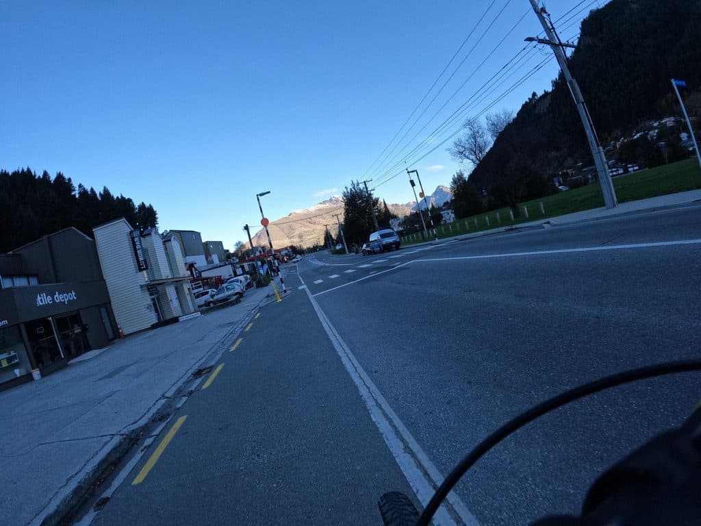
Patchy phone coverage; narrow mixed‑use sections with mountain bikes; slippery when wet or frosty near Picnic Point; busy car parks and fast highway entries/exits.
Overview
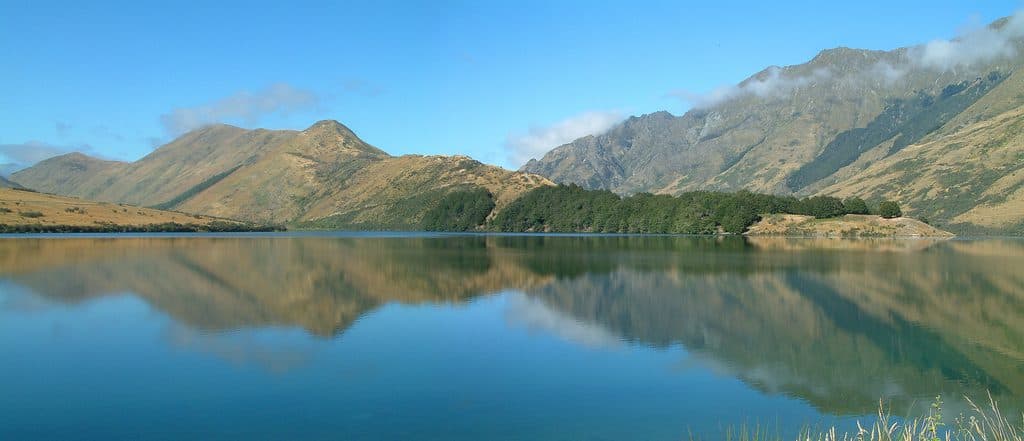
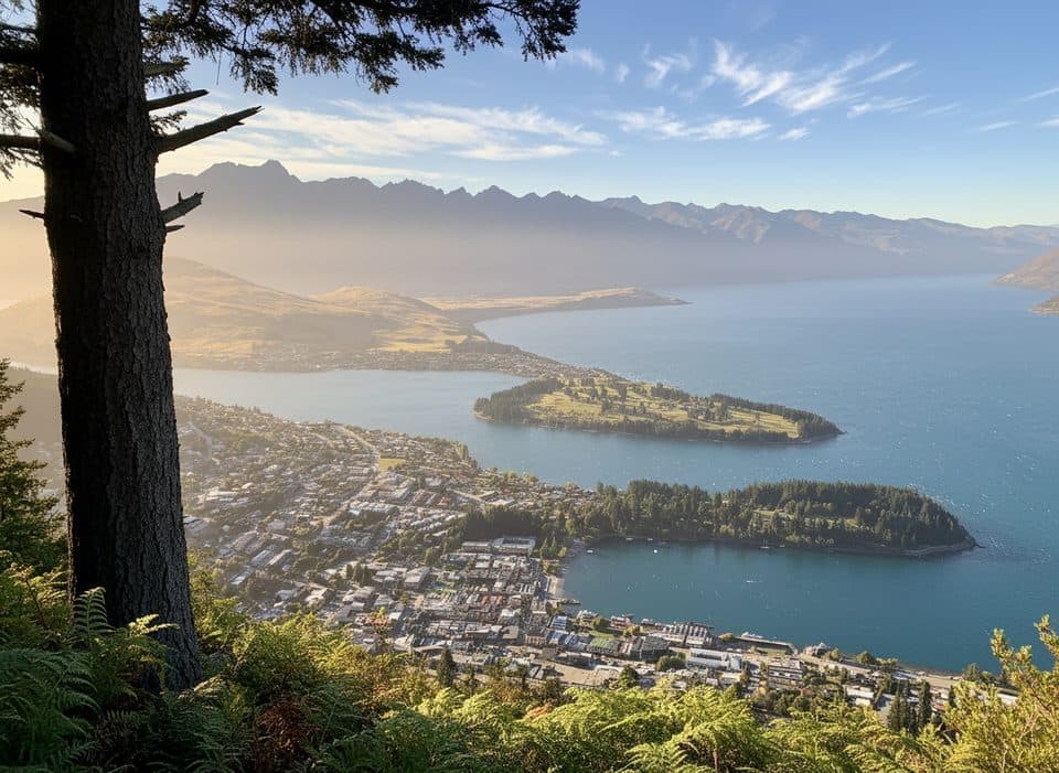
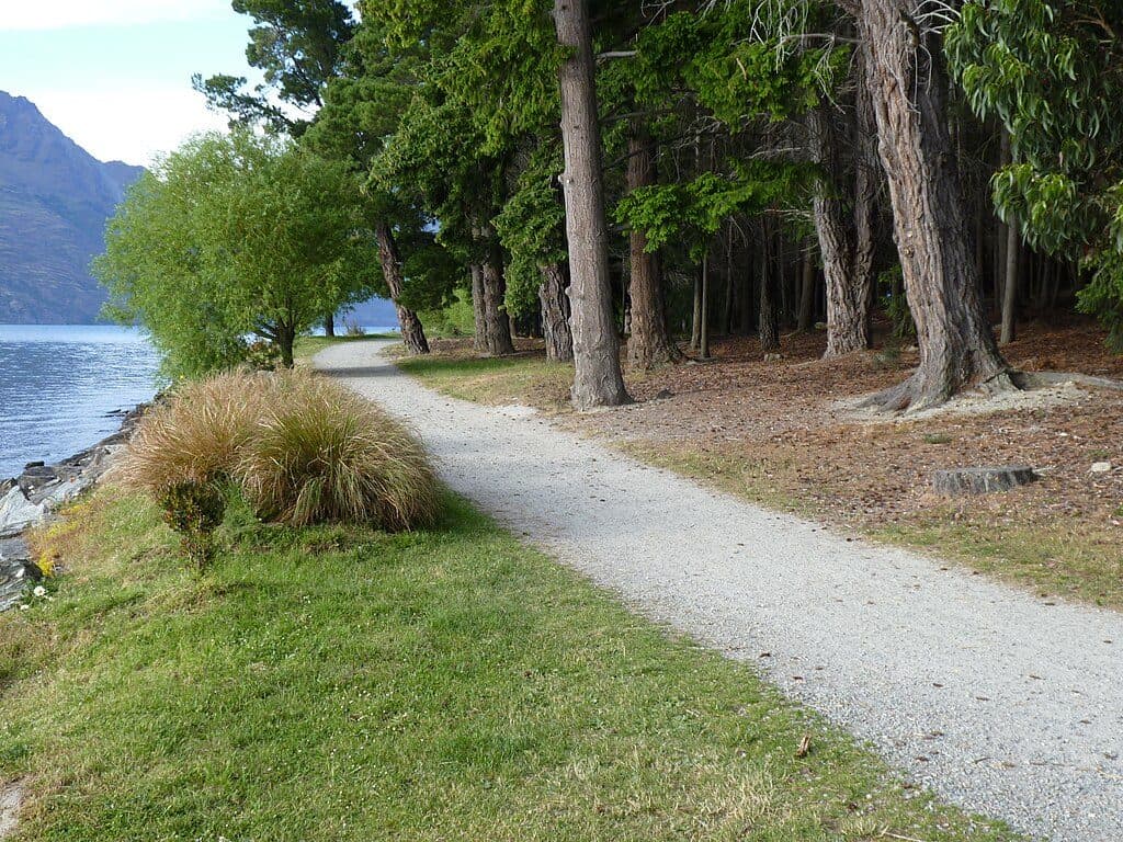
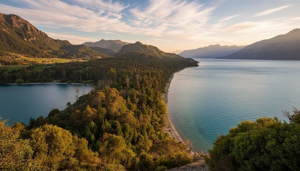
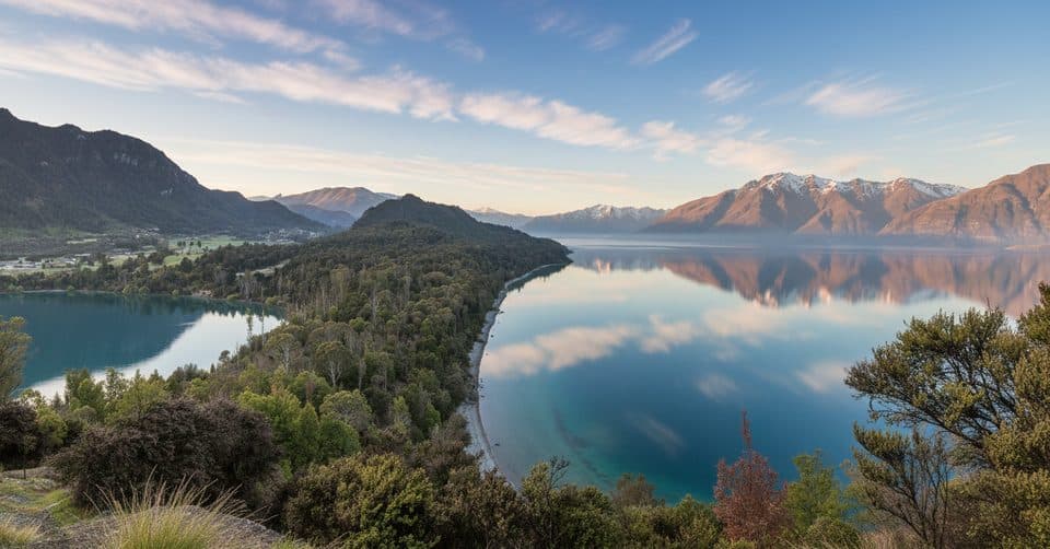
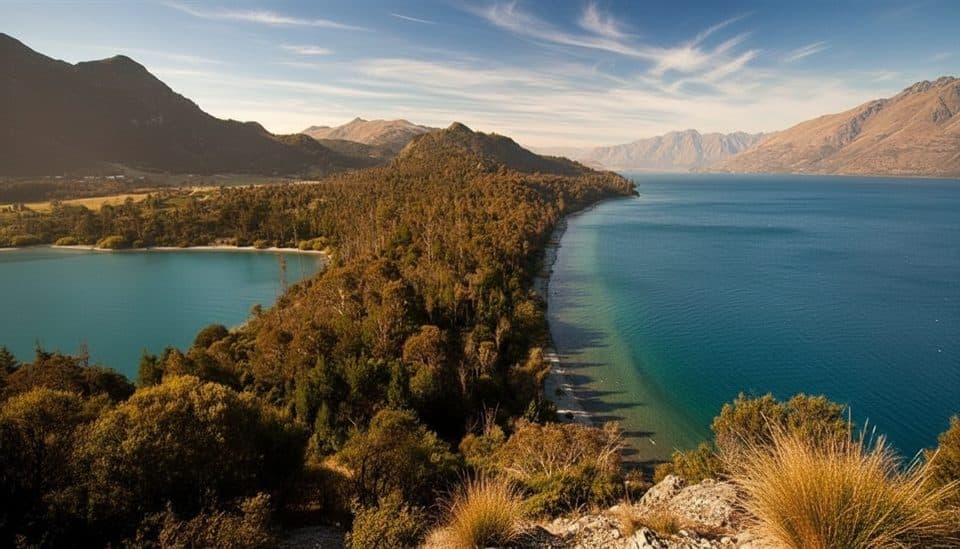
A gentle shoreline link between Bob's Cove and Twelve Mile Delta, this track hugs Lake Wakatipu for about 6 km one way (3.7 miles). Expect constant water views, pockets of native bush, and easy grades with a few short ups and downs. It’s popular for low‑commitment walking, summer swims, and simple point‑to‑point logistics if you stage two cars. Bikes are allowed, and dogs must be on a lead within the reserve.
Route and Distance Options
Walk it one way (6 km/3.7 miles; about 1.5–2 hours) or turn it into a return (roughly 12 km/7.4 miles; about 3–3.5 hours). From the Twelve Mile Delta campground, the track starts at the western end and follows the lakeshore toward Bob’s Cove. From the Bob’s Cove side, you can fold in the short Bob’s Cove loop to Picnic Point (about 2 km/30 minutes) for a higher lookout, a photogenic jetty, and a peek at historic lime‑burning relics before continuing along the shore.
Highlights
- Swim‑friendly pocket beaches and glassy, turquoise water at Bob’s Cove.
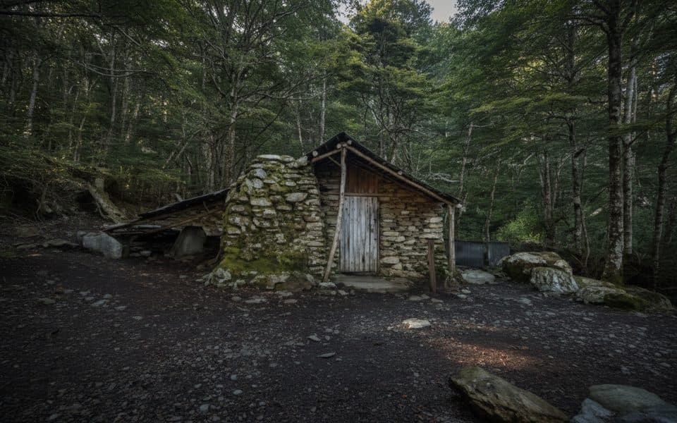
- Historic 1880s lime‑burning remains near Bob’s Cove, reminders of early construction in the Wakatipu.
- Geology on show between Picnic Point and Twelve Mile Creek/Farry’s Beach: ancient marine sediments with shell fossils from a time when this area was under the shallow “Moonlight Sea.”
- Movie trivia: the Twelve Mile Delta side doubled as Ithilien Camp in The Lord of the Rings.
What You’ll Notice
Native shrubland and forest pockets include manuka and, in places, mature red beech—uncommon around the Wakatipu. Keep an eye out for fantails flitting through the understory. The water’s unreal color comes from fine sediments and light refraction in this deep glacial lake.
Best Time to Hike
Year‑round access. Summer brings warm water and long evenings—go early or late to dodge busy car parks and for softer, side‑lit lake views. Winter can leave the short climbs (especially around Picnic Point) slick after frost; take it slow. Weekdays are quieter than weekends.
Getting There & Parking
- Twelve Mile Delta: signed turnoff for the camping and picnic area on the Glenorchy–Queenstown Road; the track begins at the western end of the campground. Parking is limited and hectic in peak summer.
- Bob’s Cove: a small, easy‑to‑miss pull‑off about 14 km from Queenstown, roughly 2 km past the Twelve Mile Delta turnoff. Space is limited; arrive early.
Tips and Etiquette
- Shared use: you may meet mountain bikers—keep left, and be alert on blind corners.
- Dogs must be leashed; respect on‑site signs.
- Phone coverage is patchy; download maps and tell someone your plan.
- Sun bounces off the lake—pack water, a hat, and sunscreen.
- If you’re short on time, the Bob’s Cove loop to Picnic Point gives the best bang‑for‑buck views with minimal effort; for a longer, quieter shoreline wander, do the full link.
Where it starts
-45.0672, 168.5459Wildlife on this trail
Near Bob’s Cove to Twelve Mile Delta Track
All places →All trails →
0 mi awayTwelve Mile DeltaSimple lakeside campground with big views near QueenstownCampground · Restroom
0.4 mi awayMount Crichton Loop TrackGold-rush history, beech forest, and lake views close to QueenstownModerate · 5 mi · 2.5 hr
0.4 mi awayMt Crichton Loop TrackGold mining history meets beech forest on Queenstown's favorite loopModerate · 5 mi · 2.5 hr
0.7 mi awayWilson BayPebbly Lake Wakatipu beach with swims, BBQs and trail accessTrailhead · Pullout
1 mi awayBob’s CoveTurquoise cove with a quick climb to a big lake viewTrailhead · Parking
1.5 mi awaySam Summers Hut (Mt Crichton)Historic miner’s hut with a waterfall stop on a quick loopRestroom · Exhibit
1.8 mi awayBob's Cove TrackShort, breezy lakeside loop to a jetty, kiln, and Picnic Point viewsEasy · 1.2 mi · 45 min
4.9 mi awayMoke Lake LoopGentle lakeside loop with big reflections near QueenstownEasy · 4.3 mi · 2 hr