Moderate

Mount Crichton Loop Track

Gold-rush history, beech forest, and lake views close to Queenstown
Mount Crichton Loop Track, Queenstown-Lakes District, New Zealand
Distance5 mi
Typical time2.5 hr
DifficultyModerate
PetsAllowed

Overview

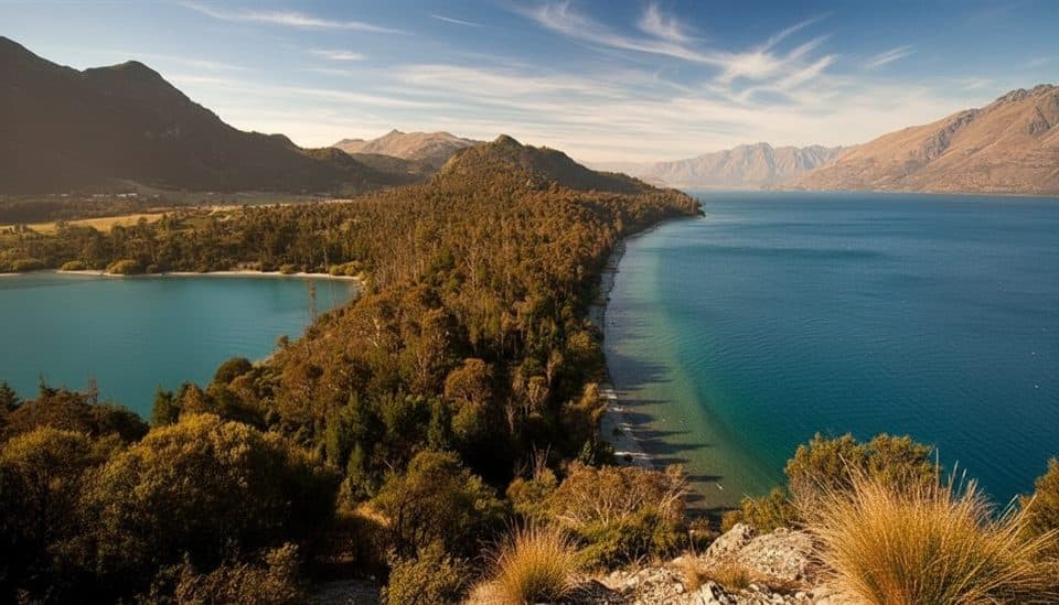
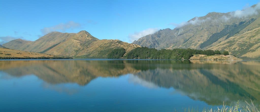
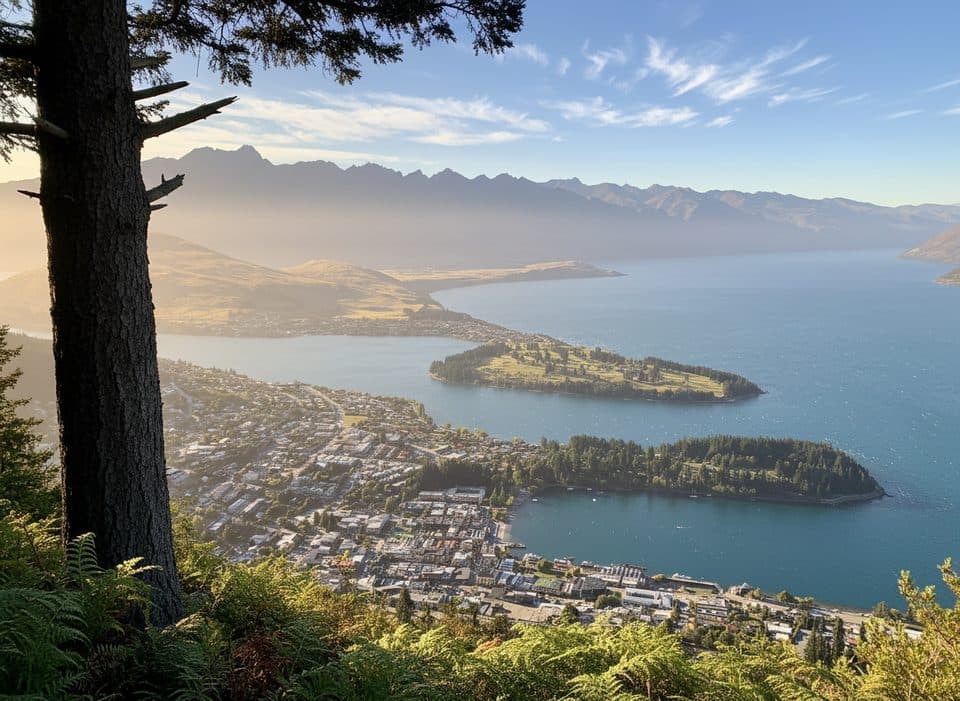
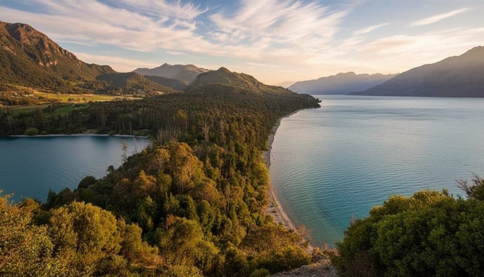
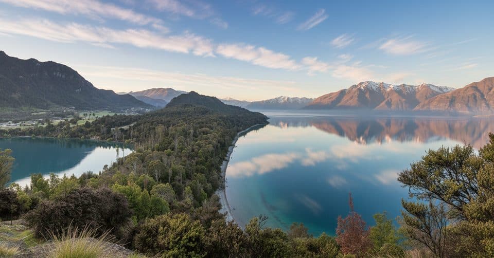
A local favorite just outside Queenstown, this 8 km/5 mile loop (total) mixes native beech forest, a waterfall, gold‑mining relics, and peeks toward Lake Wakatipu and Lake Dispute. Expect roughly 370 m/1,200 ft of gain and a 2.5–3 hour outing at a relaxed pace. It’s an easy–moderate hike: well‑formed track, a few steeper bits, and plenty of variety.

Route Notes

Most hikers go clockwise—cross the bridge from the carpark—so the climb is gentler and the steeper section comes near the end. There’s a signed link on the eastern ridge to the Lake Dispute Walkway if you want extra mileage. Not up for the full loop? The left-hand side offers a popular one‑hour out‑and‑back to Sam Summers Hut and the nearby waterfall. There’s even a bench at a viewpoint for a quick sit with lake views.

Highlights & History

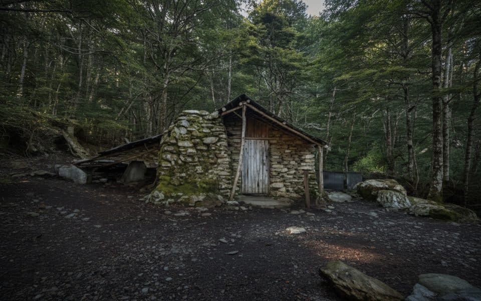
This track is rich with gold‑rush history: you’ll see sluicing remnants and a walk‑through tailrace tunnel about 24 m long (roughly 1 m wide and up to 10 m high). Sam Summers Hut—built around 1930—sits by the waterfall and is day‑use only; it’s on the site of a former Chinese miners’ camp. In the gullies you’ll pass tawhairaunui (red beech), with tawairauriki (mountain beech) and mānuka higher up.

Conditions, Rules & Safety

Old mine shafts and some steep drop‑offs mean you should keep to the formed track and supervise kids. The bridge at the Māori Gully confluence was destroyed by flooding; if the creek is high or discoloured, don’t attempt to cross—turn back. After rain, expect mud; winter can bring icy patches. Wear proper footwear and consider waterproof boots. Bring your own water (locals advise against drinking from streams due to periodic 1080 operations). Sandflies/mosquitos can be active near the hut and waterfall. No mountain biking on this loop or the Lake Dispute link. Dogs are allowed on lead—follow current signage.

Best Time to Hike

Year‑round is feasible. Summer (Dec–Feb) brings the most reliable weather but intense UV—start early, use sunscreen, and carry extra water. Winter days can be crisp and clear with little snow here, but watch for ice and check track alerts after storms or slips.

Access & Facilities

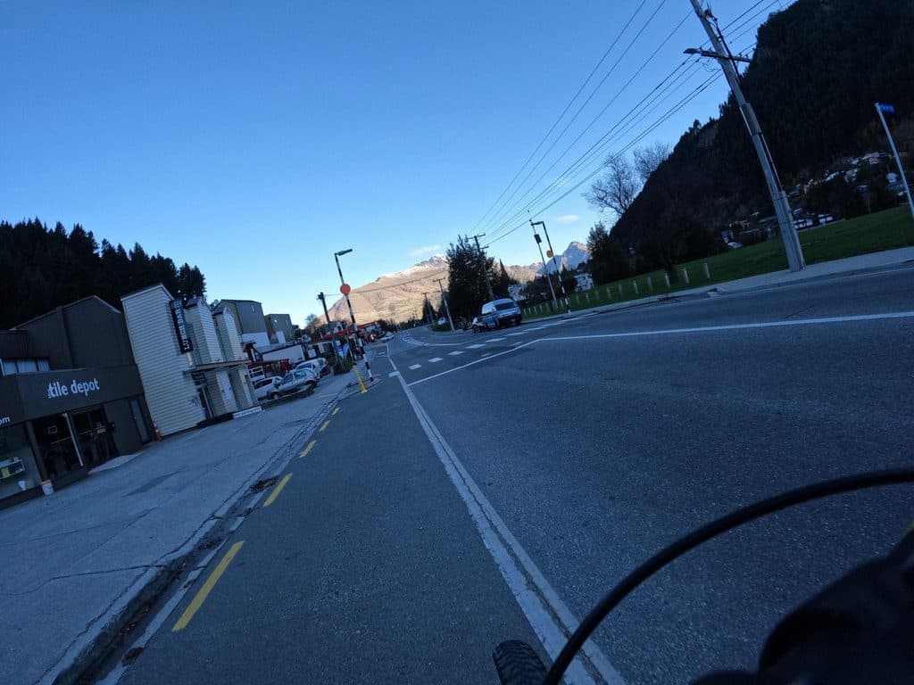
The trailhead sits on the Glenorchy–Queenstown Road about 10–20 minutes from town, just past Twelve Mile Delta. You’ll cross the highway to reach the signed start. There are toilets at the carpark and near Sam Summers Hut, plus usually ample parking.

Pros

  • Walk‑through gold tailrace tunnel adds real gold‑rush atmosphere.
  • Sam Summers Hut and waterfall with toilets roughly halfway around.

Cons

  • Bridge out at Māori Gully can force a creek ford that’s unsafe after rain.
  • Brief highway crossing from the carpark breaks the wilderness vibe.

Parking

Mt Crichton carpark on Glenorchy–Queenstown Road, just past Twelve Mile Delta; cross the highway to the signed start. Toilets and usually ample parking at the carpark.

Caution

Stay on the formed track near old mine shafts and drop‑offs. The Māori Gully bridge is gone—do not cross if the creek is high or discoloured. Track gets muddy after rain and icy in winter; wear waterproof footwear. Bring your own water and insect repellent. No mountain bikes; dogs on‑lead only.

The Parkwolf tour guide sitting on a phone mounted in a car

Parkwolf Tour Guide

Like a tour guide in your car.

Bring Queenstown-Lakes District trail research into the car, with offline maps and stories that play as you drive.Download Parkwolf on the App Store