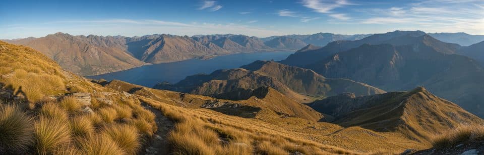
Best time to visit
Year‑round works. For a quieter loop and softer light in the forest, start early morning or later afternoon. Midday tends to be busier. After rain, the waterfall is livelier, but the track will be slick—good footwear helps.
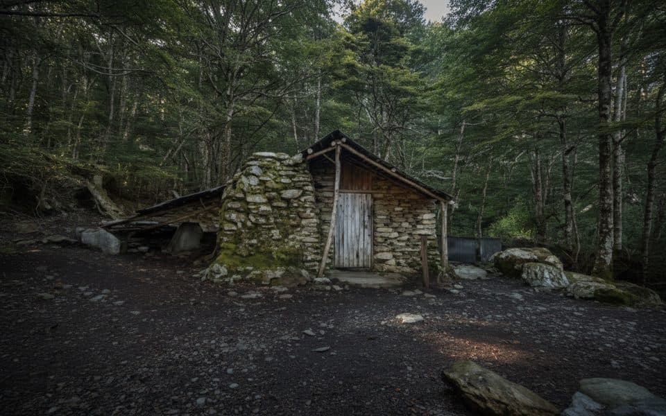
Sight · Queenstown-Lakes District, New Zealand
Historic miner’s hut with a waterfall stop on a quick loop
Overview
Tucked into beech forest on the Mt Crichton Loop Track, Sam Summers Hut is a rough‑hewn slice of Wakatipu gold‑mining history. It’s a fun leg‑stretch from Queenstown with a built‑in story stop and a waterfall just steps away—simple, atmospheric, and worth the detour if you like a walk with purpose.
Map
Local know-how
Walk the loop clockwise to keep the steepest grade for the descent.
Bring a small torch if you want extra confidence in the short mining tunnel.
Carry your own water; don’t rely on streams due to pest‑control operations.
Pack insect repellent—sandflies are feisty near the hut and waterfall.
Check DOC track alerts; a washed‑out bridge means avoid high, discoloured flows.
Plan your stop

The highest, rockiest slopes around here are a summer buffet for grizzly bears.
Queenstown-Lakes District Tour Guide
Parkwolf is a GPS audio tour guide for Queenstown-Lakes District, New Zealand. As you drive, it chimes in with what’s ahead: hidden gems, upcoming stops, history, geology, and wildlife, right through your car’s speakers.
See the Queenstown-Lakes District audio tourRecorded for this area
Mt Crichton Loop: Gold Rush History and Forest Walk“The parking area coming up is for the Mount Crichton Loop Track. This is a real locals' classic, and a great choice for a half-day walk not far from Queenstown.”
Plays on the road 2.2 km from Sam Summers Hut (Mt Crichton) in the Parkwolf Queenstown-Lakes District Tour Guide.
More stories near here in the app
“Fantastic app with many points of information… It’s great to just turn on while you’re driving and it gives you an audio tour of the national Park. We love it!!!!”


Guide
Built in 1930 by prospector Sam Summers and his brothers, the hut sheltered Sam through the Depression years while he chased gold along Twelve Mile Creek. He gardened nearby to help feed a big family, left to serve in World War II, and later returned often. Local hands have kept the hut standing ever since, making it one of the district’s most tangible gold‑era remnants.
The hut is for day use only (overnight stays ended on 1 December 2021). Fires are not permitted at any time. There’s a toilet at the hut, though occasional closures have been reported—plan accordingly. Water is nearby, but carry your own and avoid drinking from streams.
Part of the loop has had a bridge washed out near the Māori Gully confluence; don’t attempt a crossing if the creek is high or discoloured, and expect slips in places. In winter, patches can be icy; after rain, sections get muddy. Dogs are allowed but must be on a leash.
Wildlife
 189 sightingsKeaMost seen around 5 PMSighting map
 18 sightingsKākāMost seen around 6 PMSighting map
 195 sightingsKererūMost seen around 10 AMSighting map
 48 sightingsWekaMost seen around 6 PMSighting map
 239 sightingsTūīMost seen around 8 AMSighting map
 97 sightingsBellbirdMost seen around 6 AMSighting map
Sighting maps show where each species has been reported across Queenstown-Lakes District. Wildlife moves, so no sighting is guaranteed.
Keep exploring
 EasyMount Crichton Loop Track7.2 km · 2.5 hr · 2.2 km awayA well-formed loop through beech forest with a waterfall, gold-mining history, and Lake Dispute views near Queenstown
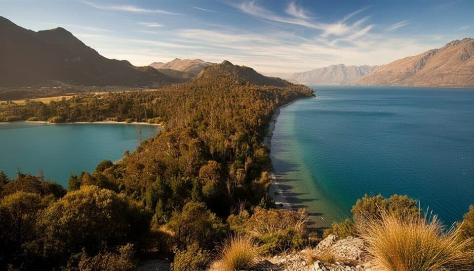 EasyBob’s Cove to Twelve Mile Delta Track6 km · 1.8 hr · 2.3 km awayA 6 km lakeside link from Twelve Mile Delta to Bob’s Cove.
 EasyBob's Cove Track3.9 km · 1 hr · 3 km awayEasy 3.9 km out-and-back from the Glenorchy–Queenstown Road to Bob's Cove and Picnic Point
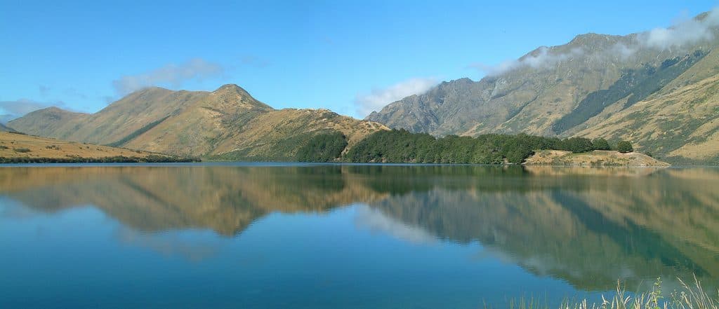 EasyMoke Lake Loop6.3 km · 2.5 hr · 6.3 km awayUndulating loop around an alpine lake near Queenstown
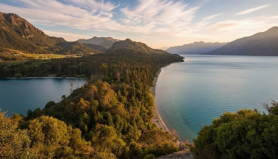 Campground · 2.4 km awayTwelve Mile DeltaSimple lakeside campground with big views near Queenstown
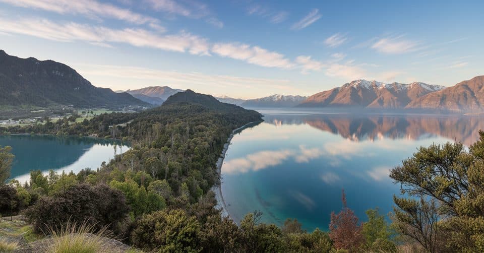 Sight · 2.9 km awayBob’s CoveTurquoise cove with a quick climb to a big lake view
 Beach · 2.9 km awayWilson BayPebbly Lake Wakatipu beach with swims, BBQs and trail access
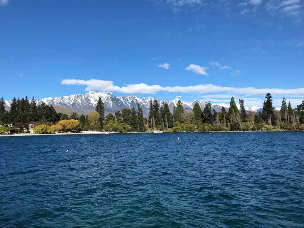 Sight · 4.7 km awayLake WakatipuGlacial alpine lake with steamship cruises and big‑mountain views
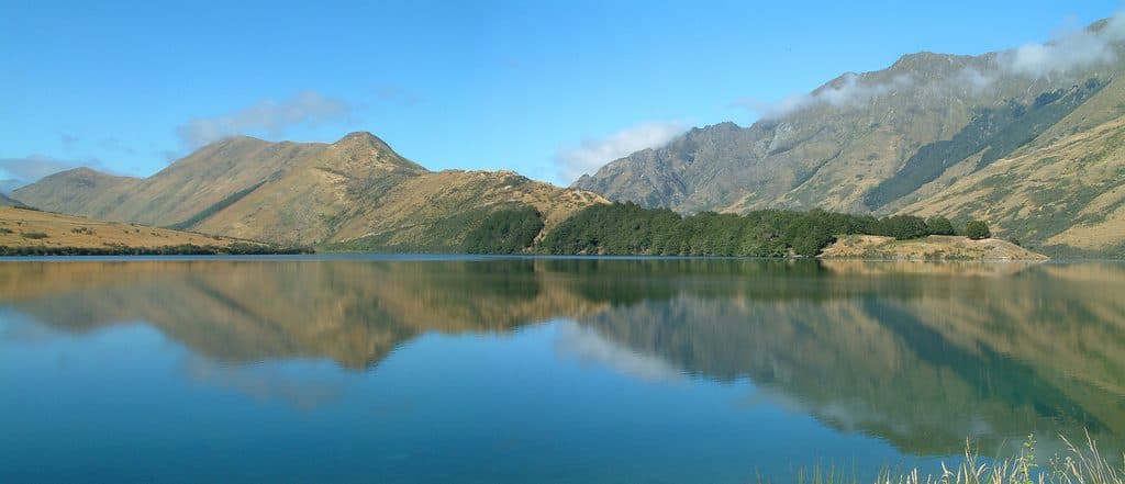 Sight · 5.7 km awayMoke LakeMirror-flat alpine lake with an easy loop and big night skies
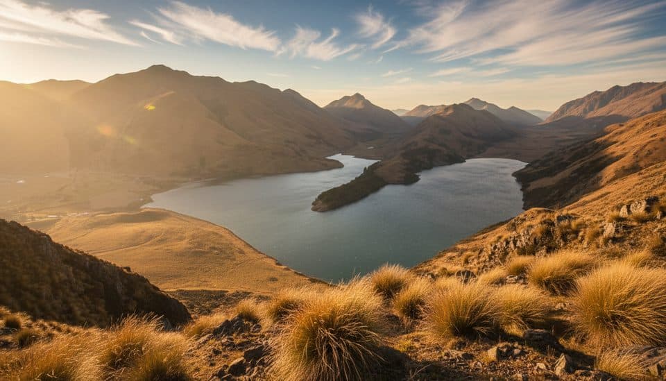 Sight · 6.2 km awayMoke Lake ViewpointShort, steep climb to a stunning twin‑lake panorama
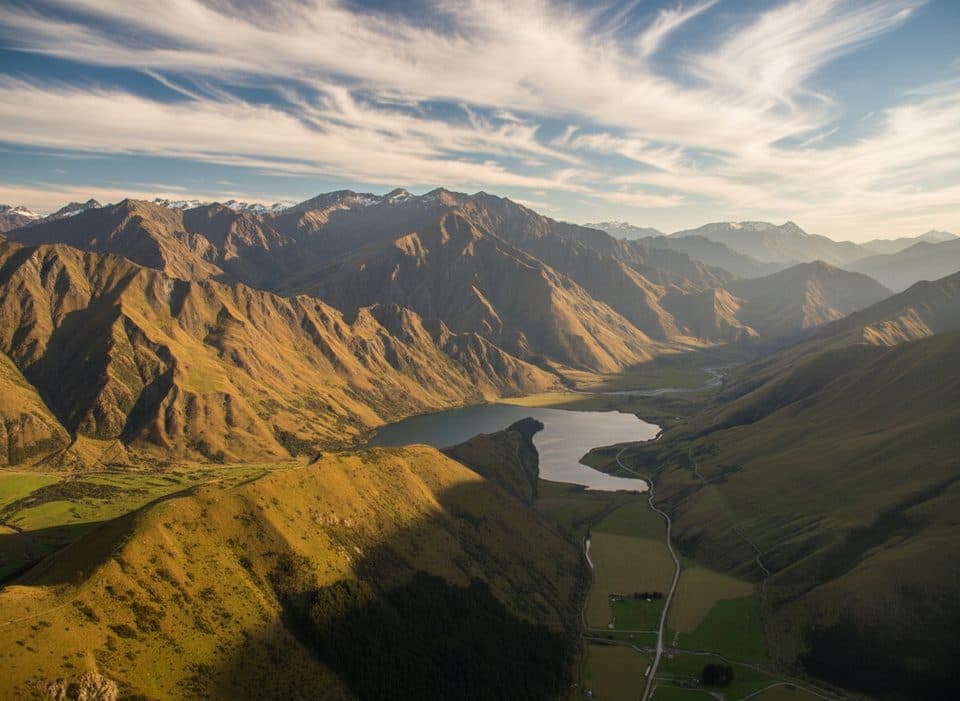 Campground · 6.3 km awayMoke Lake CampsiteBasic lakeside DOC camp with big views near Queenstown
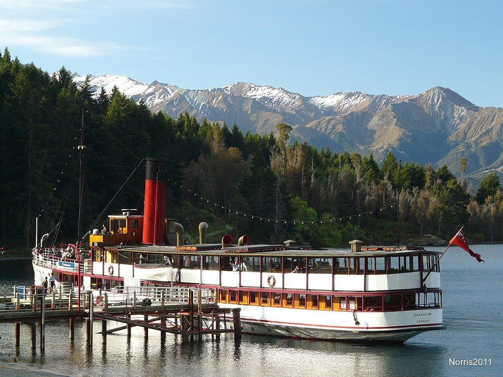 Sight · 7.2 km awayWalter Peak High Country FarmLake cruise to a working high‑country sheep farm with demos
Parkwolf’s Queenstown-Lakes District ranking

The audio tour guide for the drive, plus offline maps, trails, and wildlife heatmaps for when the signal drops.