Parking
Start at Timaru River car park on Tīmaru River Road. Finish at Avon Burn Easement car park on Birchwood Road; arrange transport between the ends before setting out.
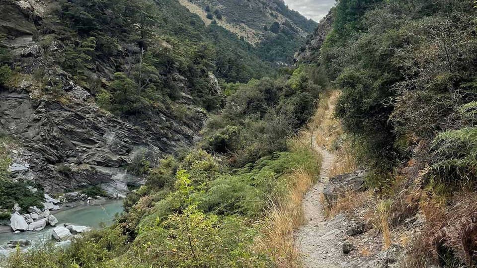
Queenstown-Lakes District, New Zealand, OT
Remote 44 km crossing through gorges and over Mt Martha Saddle.
Photo: Lower Tīmaru River Track — Chistian Waddingham. Source: Department of Conservation (NZ), CC BY 4.0
Overview
Map & elevation
Plan your hike

The highest, rockiest slopes around here are a summer buffet for grizzly bears.
Queenstown-Lakes District Tour Guide
Parkwolf is a GPS audio tour guide for Queenstown-Lakes District, New Zealand. As you drive, it chimes in with what’s ahead: hidden gems, upcoming stops, history, geology, and wildlife, right through your car’s speakers.
See the Queenstown-Lakes District audio tourMore stories near here in the app
“Fantastic app with many points of information… It’s great to just turn on while you’re driving and it gives you an audio tour of the national Park. We love it!!!!”


Trail guide
Timaru River Track is a 44 km, one-way point-to-point tramp from Timaru River car park on Tīmaru River Road to Avon Burn Easement car park on Birchwood Road. It follows the lower river through gorges to Top Tīmaru Hut, then climbs over Mt Martha Saddle and descends into the Avon Burn catchment. Plan on two days and about 15–17 hours of walking. The brochure gives 23 km and 10–11 hours to the hut, then 21 km and 5–6 hours to Birchwood; a current route page lists the reverse Birchwood-to-hut leg at 22 km and 6–8 hours. Treat the 44 km total as approximate.
The track starts on the river’s true left and crosses it several times in the first hour. It crosses open flats near private Junction Hut, then gets rougher and narrower through gorged side streams and scree. A slip crossing about 50 m below the Breast Hill junction has a steep drop beside it. Follow the orange triangles; the unmarked riverbed line is unmanaged and can be dangerous. Top Tīmaru Hut is a standard six-bunk hut and the main overnight stop.
From the hut, a farm track runs up the valley to Mt Martha Saddle (1,680 m), then descends into the Avon Burn catchment past private Tin Hut. The Birchwood approach uses a public access easement through private farmland. Stay on the marked route and do not camp before the conservation area boundary.
This is remote, demanding tramping terrain, with multiple unbridged river and side-stream crossings, exposed sidles, loose scree and stretches that can be hard to follow in poor visibility. Do not cross flooded water or continue when you cannot find a safe crossing; turn back or wait for levels to drop. Carry navigation, a distress beacon, plenty of water, extra food and warm, waterproof clothing. Mobile coverage is limited or absent across much of the route. The high crossing is avalanche terrain, usually from May through November; check current conditions. Dogs are not allowed.
Wildlife
 194 sightingsKeaMost seen around 5 PMSighting map
 18 sightingsKākāMost seen around 6 PMSighting map
 198 sightingsKererūMost seen around 10 AMSighting map
 53 sightingsWekaMost seen around 6 PMSighting map
 245 sightingsTūīMost seen around 8 AMSighting map
 98 sightingsBellbirdMost seen around 6 AMSighting map
Sighting maps show where each species has been reported across Queenstown-Lakes District. Wildlife moves, so no sighting is guaranteed.
Keep exploring
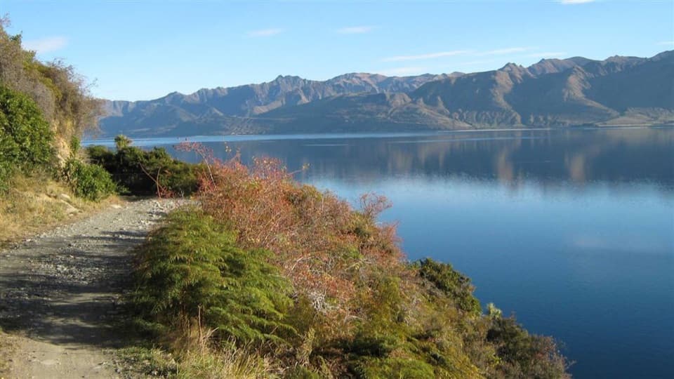 ChallengingDingle Burn Track49 km · 23 hr · 5.3 km awayA remote hut traverse with river fords and a high saddle.
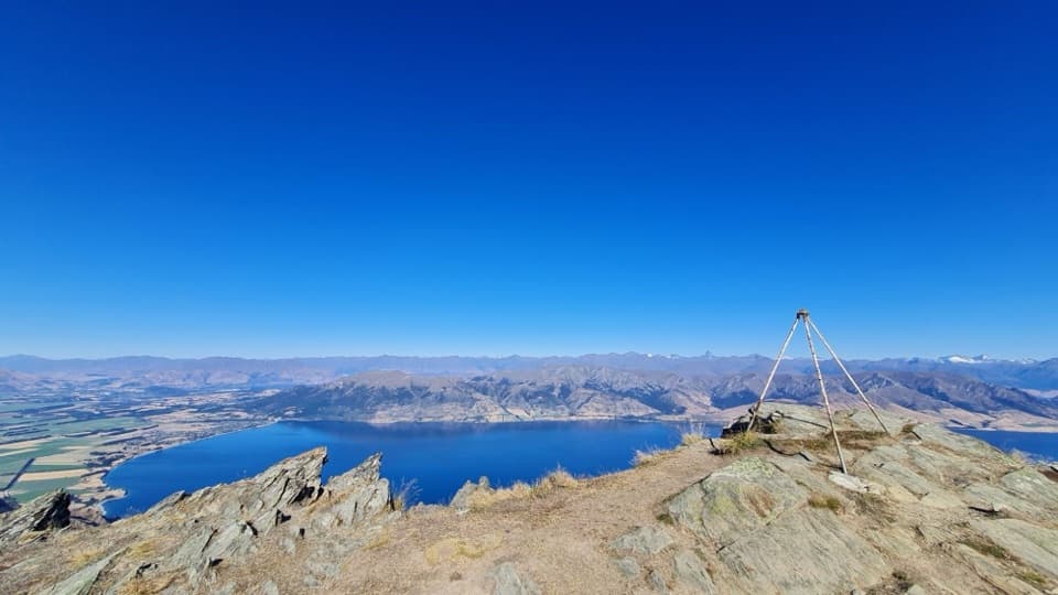 ChallengingBreast Hill Track17.4 km · 8.8 hr · 5.3 km awayAn exposed full-day traverse with a Lake Hāwea summit view.
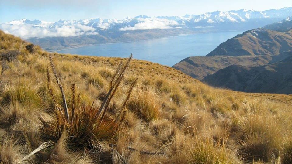 ChallengingGrandview Mountain Track18 km · 5 hr · 8.8 km awayA hard climb opens sweeping views over Lake Hāwea and Wānaka.
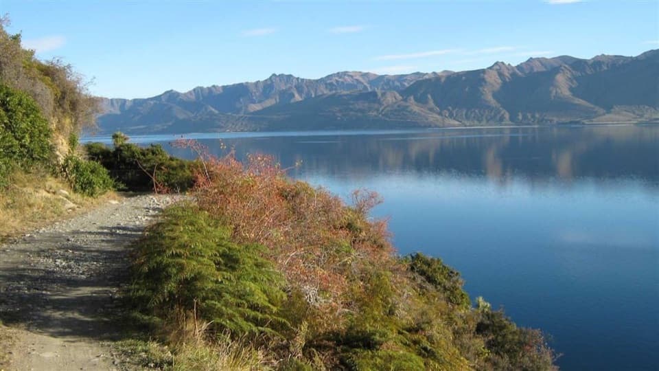 ModerateDingle Burn Peninsula Track11 km · 3.5 hr · 9.4 km awayWalk Lake Hāwea’s eastern shore to Turihuka.
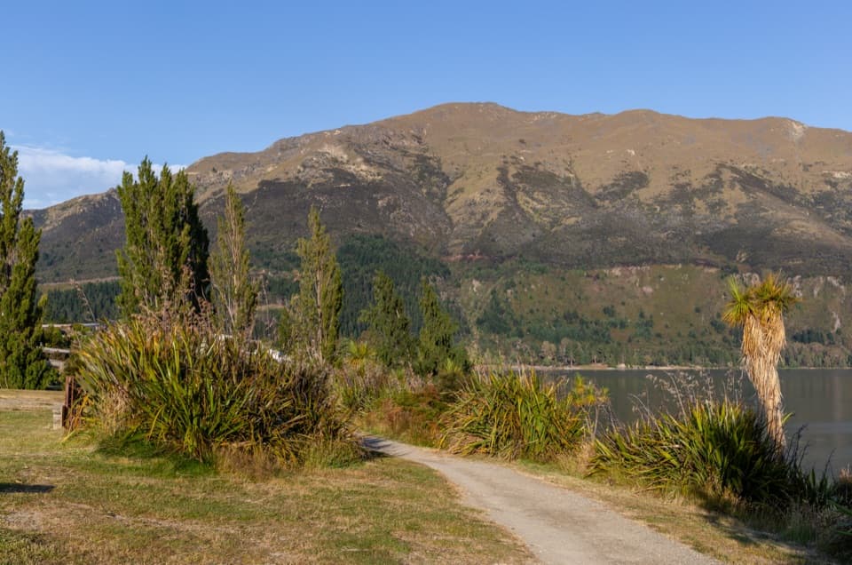 EasyGladstone Track6.9 km · 1.8 hr · 9.6 km awayWalk Lake Hāwea’s shoreline from the dam to Johns Creek.
 ChallengingIsthmus Peak Track16 km · 5.5 hr · 9.7 km awayA steep summit climb above both lakes and the Southern Alps.
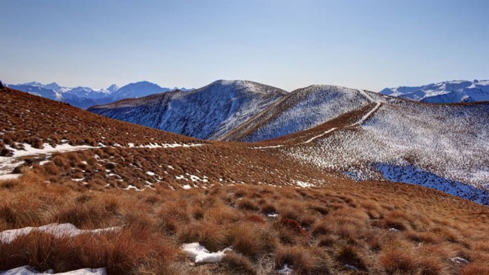 ChallengingGlen Dene Ridge Track29.9 km · 12 hr · 9.9 km awayOpen ridge walking with two lake views and a serious climb.
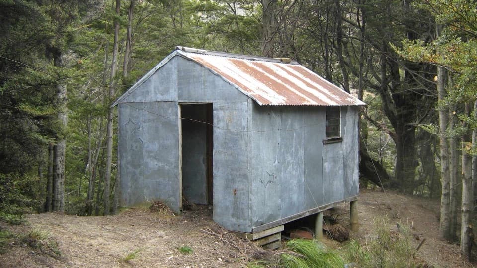 ChallengingSawyer Burn Track8 km · 5 hr · 11.6 km awayA steep Lake Hāwea climb to a shaded two-bunk hut.
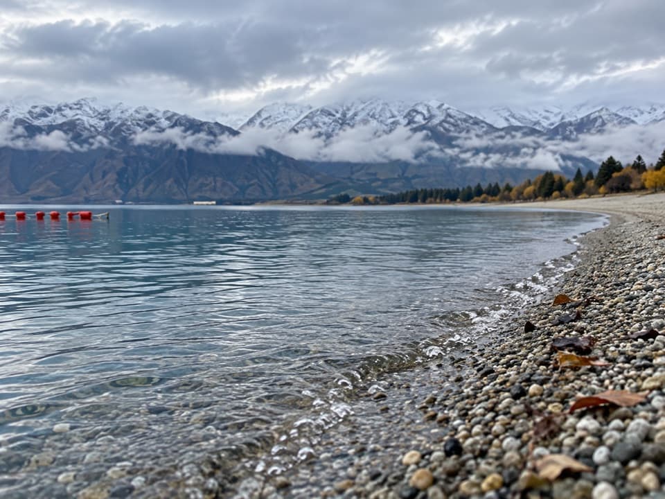 Beach · 9.1 km awayScotts Beach, Lake HāweaA pebbly shore for clear water, stone-skimming and a quiet pause.
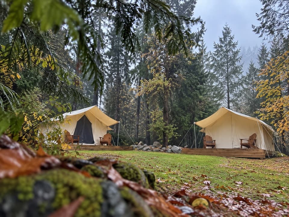 Campground · 9.4 km awayThe Camp – Lake HāweaTent pitches, cabins, and glamping beside Lake Hāwea.
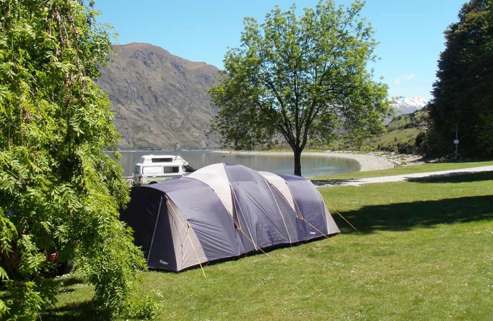 Campground · 11.6 km awayKidds Bush Reserve CampsiteGrassy lakeside camping with a beech-forest loop from camp.
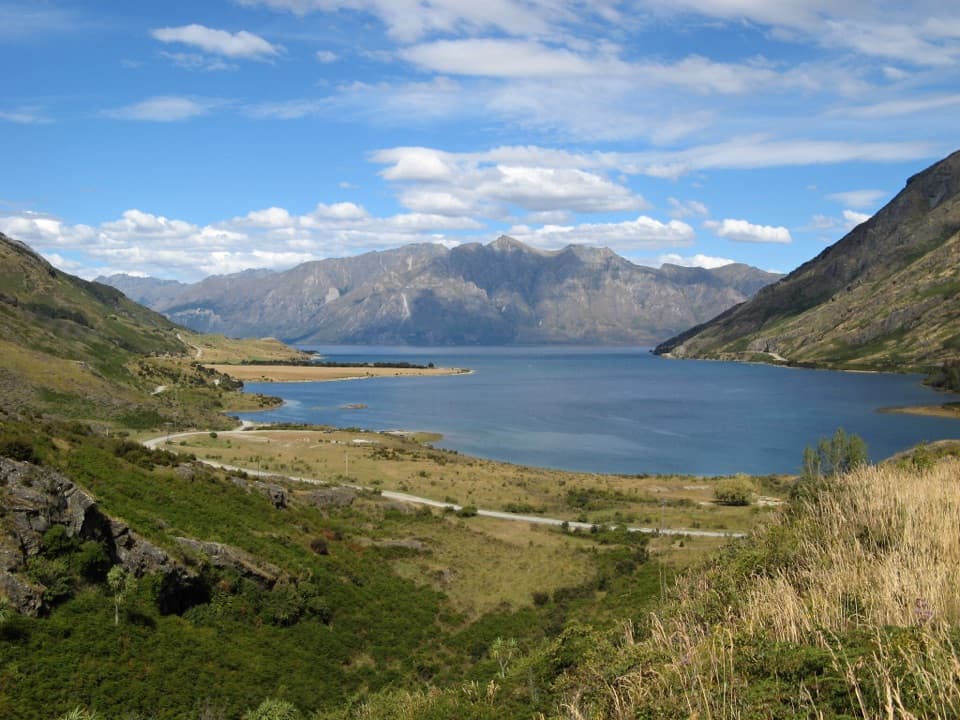 Scenic pullout · 14.8 km awayLake Hāwea Lookout at The NeckA quick pause for Lake Hāwea beneath steep mountain walls.
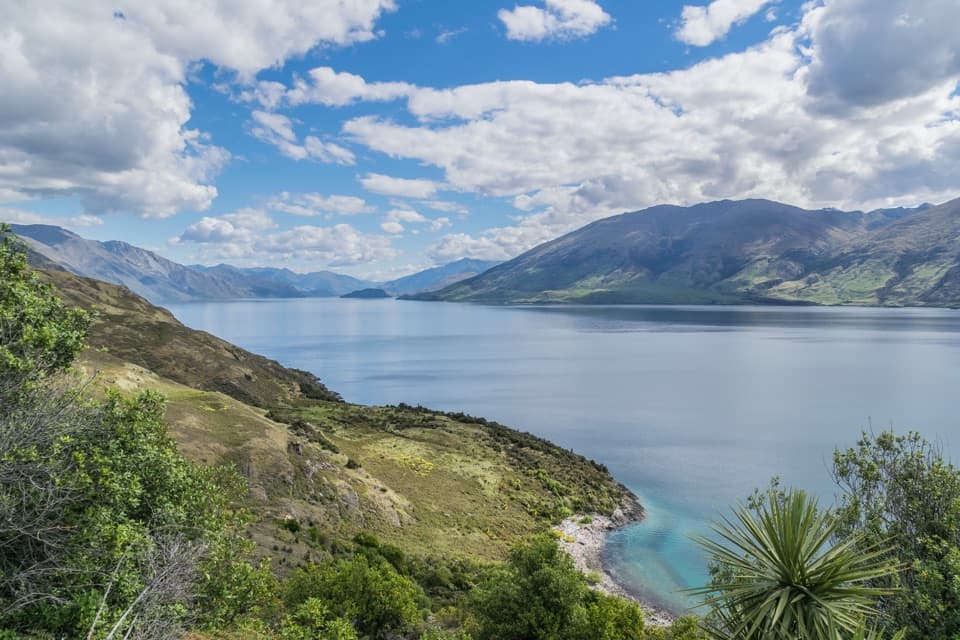 Scenic pullout · 16 km awayLake Wānaka Lookout at The NeckA quick pull-in for Lake Wānaka and its mountain backdrop.
Parkwolf’s Queenstown-Lakes District ranking

The audio tour guide for the drive, plus offline maps, trails, and wildlife heatmaps for when the signal drops.




