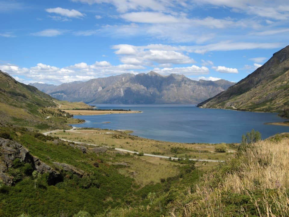
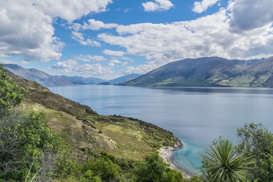
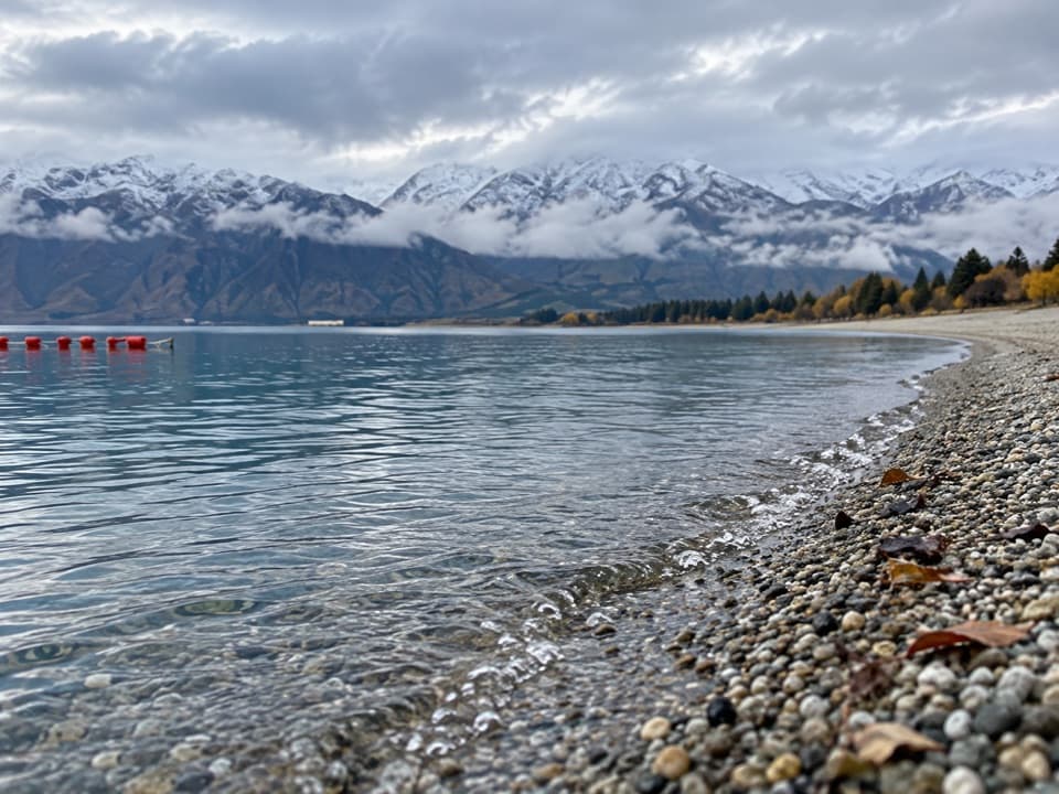
Dingle Burn Track in Queenstown-Lakes District, New Zealand

Queenstown-Lakes District, New Zealand, OT

Dingle Burn Track

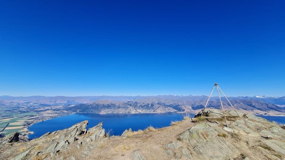
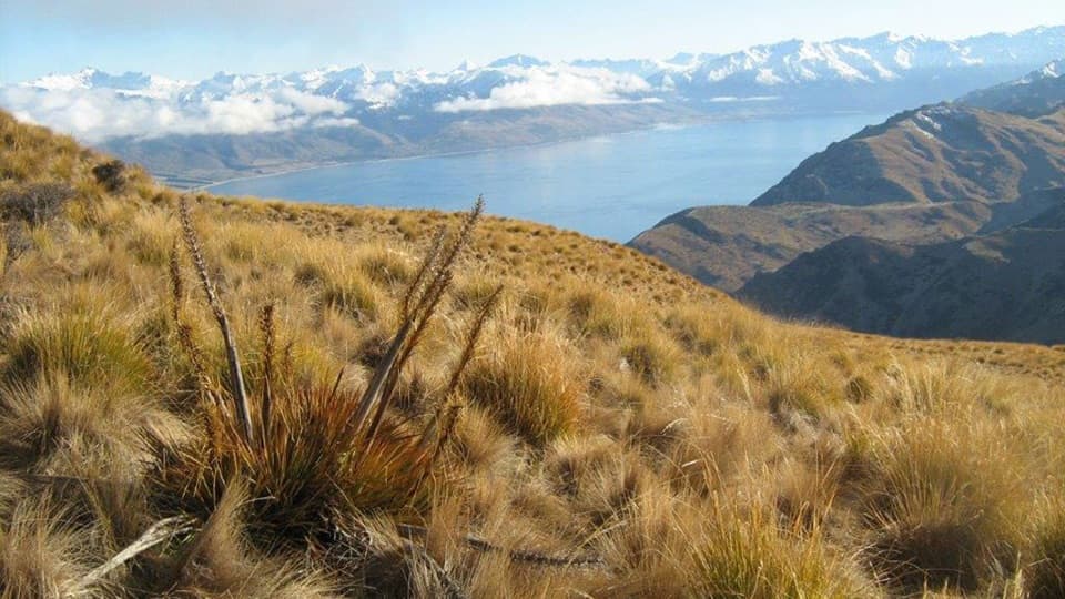
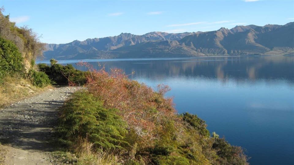
A remote hut traverse with river fords and a high saddle.

Photo: Department of Conservation (NZ), CC BY 4.0

Length
49km
Time
23hr
Elev. change
1,114m
Difficulty
Challenging
  • No dogs
  • High point 1,459 m
Parkwolf audio tour298 stories across Queenstown-Lakes District’s roads

Overview

About Dingle Burn Track

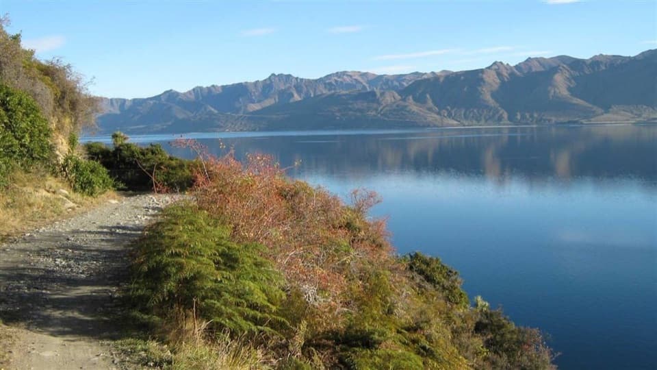
A 49 km one-way traverse from Dingle Burn car park beside Lake Hāwea to Birchwood Road in 3–4 days. The four stages total 20–26 hours: 22 km to Bush Hut, 10 km to Cotters Hut, 12 km to Top Dingle Hut, then 5 km over Dingle Burn Saddle. It is a remote, demanding tramp with unbridged river crossings, exposed loose ground and private-land access at the far end. Arrange transport between the two ends.

Why go

  • Remote hut-to-hut journey through sharply changing valley terrain
  • Historic Ben Avon Hut and a high alpine saddle are memorable waypoints

Heads up

  • A 3–4 day, 49 km traverse with long, demanding bush stages
  • Unbridged river crossings, exposed loose ground and shuttle-dependent endpoints

Map & elevation

The route

Loading the Queenstown-Lakes District map
Full map
Elevation345–1,459 m
TrailheadDingle Burn car park-44.49057, 169.31246
Keep this map with you offline in the Parkwolf app

Plan your hike

Before you go

Parking

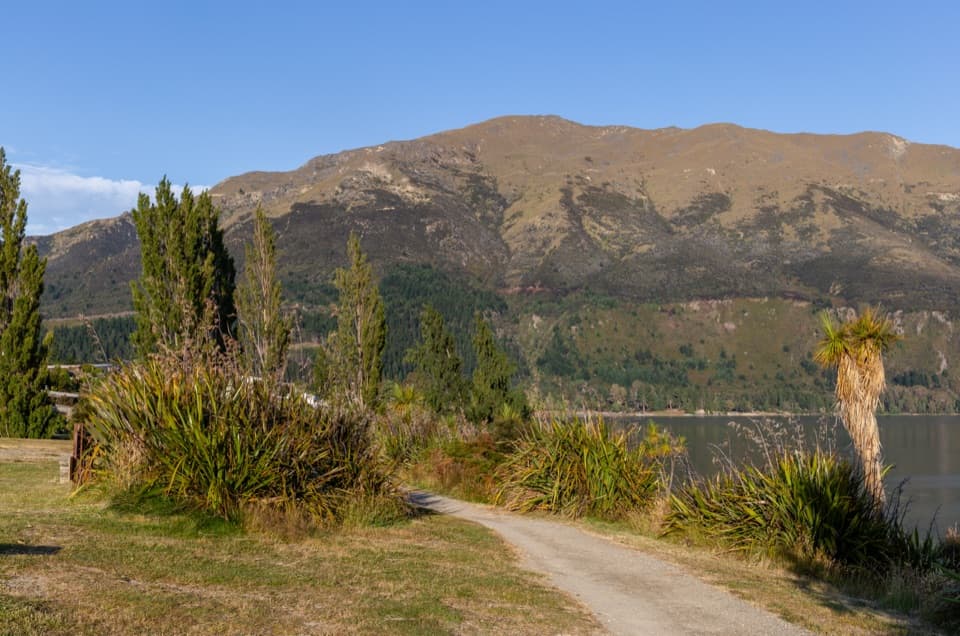
Hāwea end: follow the unsealed Dingleburn Station Road to the Dingle Burn public car park; there is no vehicle access beyond it. Birchwood end: the route exits to Birchwood Road; the 7 km from the conservation boundary to the track start requires high-clearance 4WD. Arrange a shuttle or vehicle transfer for this one-way route.

Safety

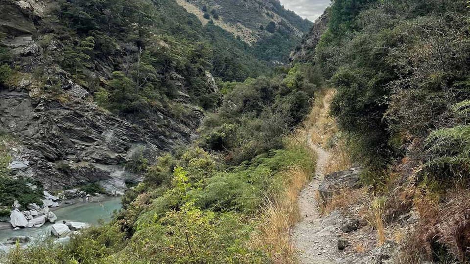
Numerous unbridged river crossings can become unsafe in flood. The route includes a steep exposed loose-shingle bluff above a 10 m drop and a narrow loose-rock ridge with a 15 m drop. Rapid weather changes, whiteouts and avalanche danger can occur when snow is present.

3 active Queenstown-Lakes District alerts

  • CautionRob Roy Track: stop at lower lookout during avalanche seasonFrom May to November, end your Rob Roy Track hike at the lower lookout: DOC strongly recommends this because the upper section crosses active avalanche paths.Official details
  • ClosureSkippers Bridge closed to all usersSkippers Bridge is closed to all vehicles, cyclists and pedestrians; stay off the bridge and obey closure signs and barriers.Official details
See all 3 alerts
A park ranger sits on a dash-mounted phone, talking, as Parkwolf’s Tour Guide plays “Army Cutworm Moths: A Grizzly Bear Buffet” on Grand Loop Road below Dunraven Pass in Yellowstone
Parkwolf Tour GuideThe highest, rockiest slopes around here are a summer buffet for grizzly bears.

Queenstown-Lakes District Tour Guide

Your drive to Dingle Burn Track, narrated.

Parkwolf is a GPS audio tour guide for Queenstown-Lakes District, New Zealand. As you drive, it chimes in with what’s ahead: hidden gems, upcoming stops, history, geology, and wildlife, right through your car’s speakers.

See the Queenstown-Lakes District audio tour

More stories near here in the app

  • Hāwea’s Older Dam
  • Spotting a Falcon on the Hunt
  • A Pond Hunter Swimming Upside Down
  • Isthmus Peak Trailhead
  • 298 audio storiesacross Queenstown-Lakes District’s roads, triggered by GPS as you drive
  • Wildlife heatmapsfor Kea, Kākā, Kererū, and 13 more
  • Works offlinemaps, 155 trails, 129 places, and audio download before you lose signal
  • CarPlay readysimple controls built for the drive
★★★★★
“Fantastic app with many points of information… It’s great to just turn on while you’re driving and it gives you an audio tour of the national Park. We love it!!!!”
JMJamesApp Store review
Download Parkwolf on the App StoreGet Parkwolf on Google Play

4.7 from 8,600+ ratings

Trail guide

Hiking Dingle Burn Track

Hāwea approach and river valleyFrom the public car park, follow the Dingle Burn Peninsula Track to Turihuka, where the valley…

From the public car park, follow the Dingle Burn Peninsula Track to Turihuka, where the valley track begins. It follows the Dingle Burn’s true left bank for 6 km, then climbs to a terrace 120 m above the river. The exposed 20 m loose-shingle bluff above a 10 m drop has no handholds; the route description recommends using it only when the river is high. In low-to-normal flow, follow the burn to Bush Hut, which involves numerous crossings.

Bush Hut to Cotters HutThe 10 km stage takes 7–9 hours through beech forest, up a steep, narrow ridge with loose rock…

The 10 km stage takes 7–9 hours through beech forest, up a steep, narrow ridge with loose rock and a 15 m drop, and over a 200 m detour around a large unstable slip. The descent crosses several gullies. Windfall through the bush toward Ben Avon Hut can make this section slow.

Cotters Hut to Birchwood RoadFrom Cotters Hut, 12 km of easier grassy flats and terraces lead to historic Ben Avon Hut,…

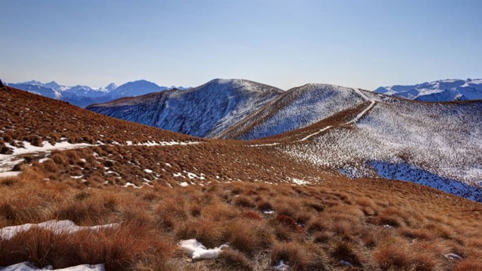
From Cotters Hut, 12 km of easier grassy flats and terraces lead to historic Ben Avon Hut, which is for day use, and six-bunk Top Dingle Hut. The final 5 km climbs 600 m on a well-formed track to Dingle Burn Saddle at 1,448 m, then descends into Ahuriri Valley and Birchwood Road.

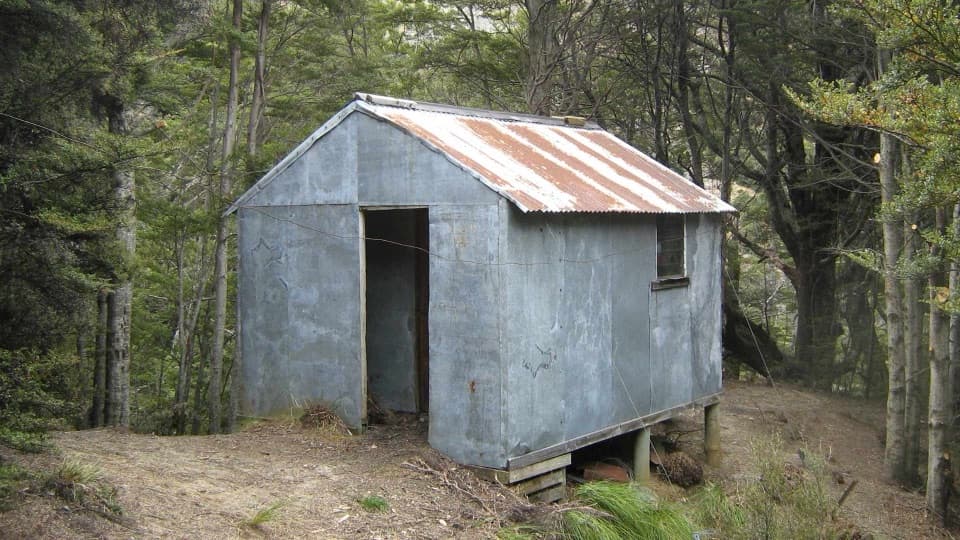
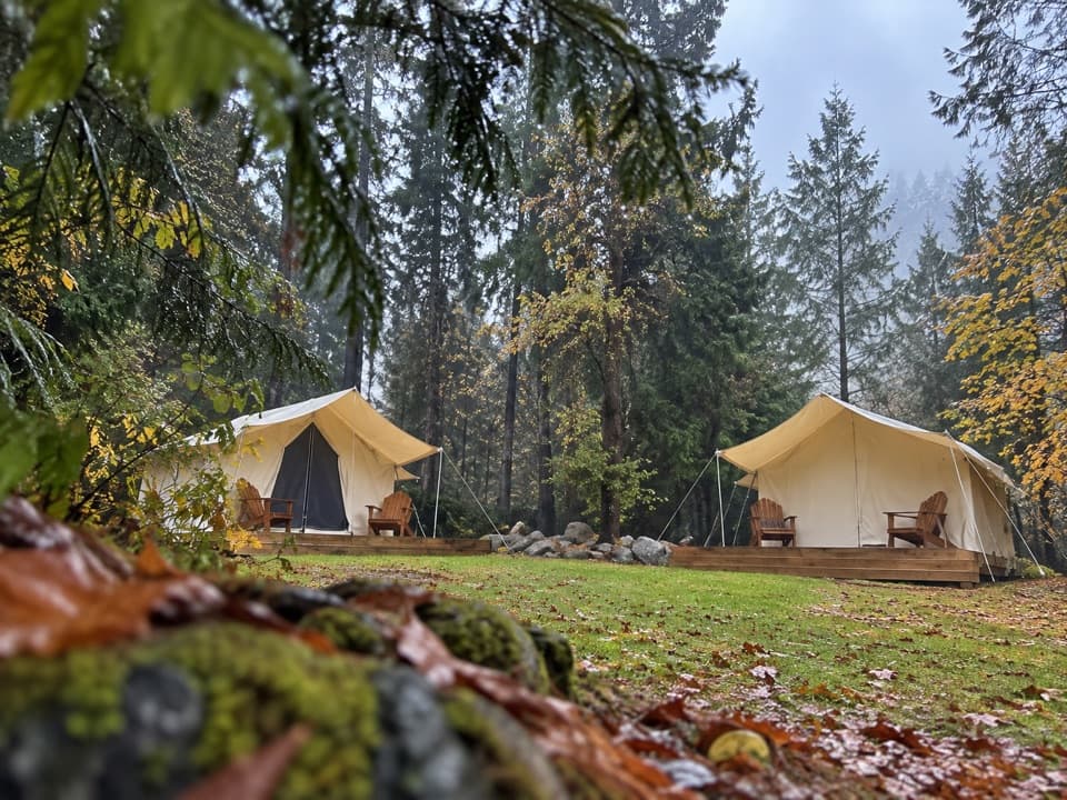
Huts, access and conditionsBush Hut has six bunks at 480 m, Cotters Hut two at 710 m, and Top Dingle Hut six at 880 m.

Bush Hut has six bunks at 480 m, Cotters Hut two at 710 m, and Top Dingle Hut six at 880 m. At the Hāwea end, an unsealed Dingleburn Station Road reaches the public car park; vehicles cannot continue beyond it. At the Birchwood end, the road is suitable for cars to the conservation boundary 21 km from Birchwood Road; the final 7 km to the track start requires high-clearance 4WD. The route crosses private land: stay on the marked track, leave gates as found, respect livestock and do not camp before the conservation-area boundary. Dogs are allowed only between Birchwood Road and Bush Hut, so they are not allowed on the full Hāwea-start traverse. Weather can change quickly, including summer hypothermia risk, whiteouts and avalanche danger when snow is present. Do not cross flooded rivers or streams.

Wildlife

Wildlife in Queenstown-Lakes District

All Queenstown-Lakes District wildlife maps

Sighting maps show where each species has been reported across Queenstown-Lakes District. Wildlife moves, so no sighting is guaranteed.

Keep exploring

Near Dingle Burn Track

See it all on the map

Trails that start nearby

Places near the trailhead

Parkwolf’s Queenstown-Lakes District ranking

Top-rated trails in Queenstown-Lakes District

All 155 trails
  1. 1Routeburn TrackChallenging · 33.1 km
  2. 2Roys Peak TrackChallenging · 16 km
  3. 3Ben Lomond TrackChallenging · 14 km
  4. 4Rob Roy TrackModerate · 10 km
  5. 5Isthmus Peak TrackChallenging · 16 km
  6. 6Routeburn Falls TrackChallenging · 19.6 km

Take Parkwolf to Queenstown-Lakes District.

The audio tour guide for the drive, plus offline maps, trails, and wildlife heatmaps for when the signal drops.

4.7 from 8,600+ ratings

Download Parkwolf on the App StoreGet Parkwolf on Google Play