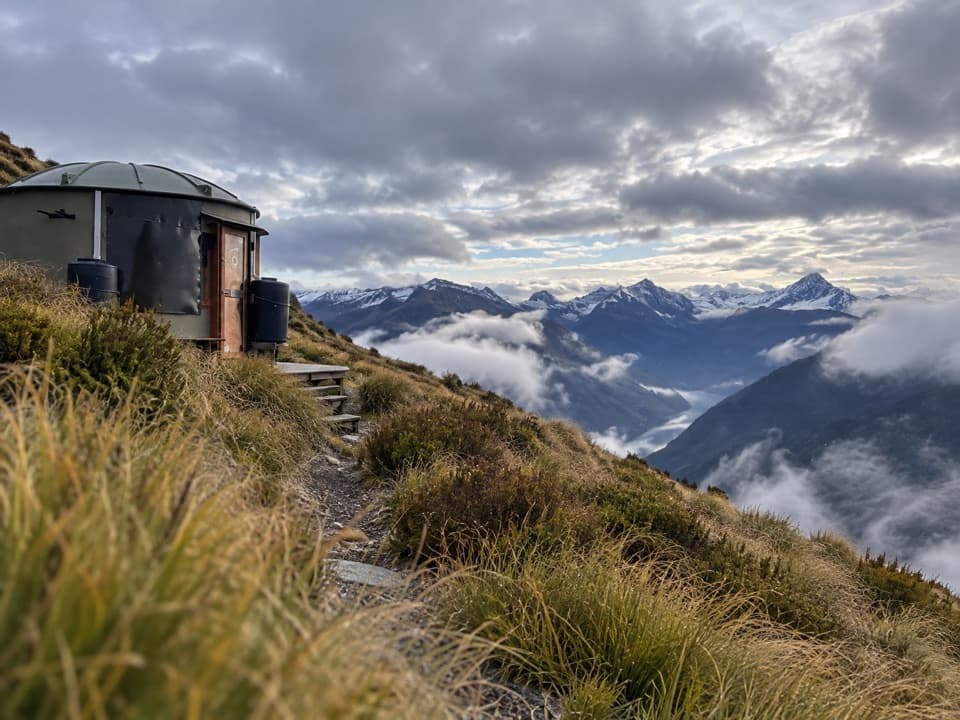
Mahu Whenua Traverse in Queenstown-Lakes District, New Zealand

Queenstown-Lakes District, New Zealand, OT

Mahu Whenua Traverse

Five Turk huts stitch together this unmarked alpine crossing.

Length
40.6km
Time
5days
Elev. change
1,088m
Difficulty
Challenging
  • High point 1,983 m
  • #75 of 155 in Queenstown-Lakes District

Hear the audio tour

Treble Cone Ski Area

Overview

About Mahu Whenua Traverse

A roughly 41 km one-way alpine crossing from Treble Cone to Coronet Peak, passing five high-country Turk huts. Plan around five days and four nights, but treat that as an estimate: a standard summer hiking schedule is not established. Published trip accounts differ, from just over 40 km to a 50 km ski expedition; neither confirms the summer walking distance, and a complete summer GPS line was not found. Published route figures list 3,781 m of climbing and 4,029 m of descent.

Why go

  • Five distinctive huts punctuate a remote high-country crossing.
  • A full point-to-point route links the Treble Cone and Coronet Peak areas.

Heads up

  • Unmarked alpine route-finding requires strong navigation skills and backup plans.
  • Hut bookings and access across multiple land managers need advance planning.

Map & elevation

The route

Loading the Queenstown-Lakes District map
Full map
Elevation895–1,983 m
TrailheadTreble Cone traverse access-44.63649, 168.87302
Keep this map with you offline in the Parkwolf app

Plan your hike

Before you go

Parking

Point-to-point from Treble Cone to Coronet Peak. For summer access to Treble Cone car park, complete the ski area’s online health-and-safety induction to receive its gate code. Confirm the Coronet Peak end procedure and arrange transport between the two ends; a shuttle was not verified.

Safety

This is an unmarked, unformed alpine route with exposed ridges, steep ground, long climbs and descents, fast-changing weather and hypothermia risk. Carry map/GPS and a locator beacon, and travel with alpine route-finding experience. Confirm station and ski-field access before departure. Turk stays require Mountain Turk Club membership and advance booking; bring food, a sleeping bag and stove gas. Water availability and dog rules were not established.

3 active Queenstown-Lakes District alerts

  • CautionRob Roy Track: stop at lower lookout during avalanche seasonFrom May to November, end your Rob Roy Track hike at the lower lookout: DOC strongly recommends this because the upper section crosses active avalanche paths.Official details
  • ClosureSkippers Bridge closed to all usersSkippers Bridge is closed to all vehicles, cyclists and pedestrians; stay off the bridge and obey closure signs and barriers.Official details
See all 3 alerts
A park ranger sits on a dash-mounted phone, talking, as Parkwolf’s Tour Guide plays “Army Cutworm Moths: A Grizzly Bear Buffet” on Grand Loop Road below Dunraven Pass in Yellowstone
Parkwolf Tour GuideThe highest, rockiest slopes around here are a summer buffet for grizzly bears.

Queenstown-Lakes District Tour Guide

Your drive to Mahu Whenua Traverse, narrated.

Parkwolf is a GPS audio tour guide for Queenstown-Lakes District, New Zealand. As you drive, it chimes in with what’s ahead: hidden gems, upcoming stops, history, geology, and wildlife, right through your car’s speakers.

See the Queenstown-Lakes District audio tour

Recorded for this area

Treble Cone Ski Area
0:00 / 0:35
“You’re approaching Treble Cone’s base, above Lake Wānaka. I’d choose this for a full winter mountain day if you ski confidently: long groomed runs sit alongside natural gullies, half-pipes and steep off-piste faces.”

Plays on the road 1.9 km from the trailhead in the Parkwolf Queenstown-Lakes District Tour Guide.

More stories near here in the app

  • Earthlight on the Moon
  • The Rainbow with Reversed Colours
  • Ice That Grows Out of the Ground
  • A Small Bird That Stays High
  • 298 audio storiesacross Queenstown-Lakes District’s roads, triggered by GPS as you drive
  • Wildlife heatmapsfor Kea, Kākā, Kererū, and 13 more
  • Works offlinemaps, 155 trails, 129 places, and audio download before you lose signal
  • CarPlay readysimple controls built for the drive
★★★★★
“Fantastic app with many points of information… It’s great to just turn on while you’re driving and it gives you an audio tour of the national Park. We love it!!!!”
JMJamesApp Store review
Download Parkwolf on the App StoreGet Parkwolf on Google Play

4.7 from 8,600+ ratings

Trail guide

Hiking Mahu Whenua Traverse

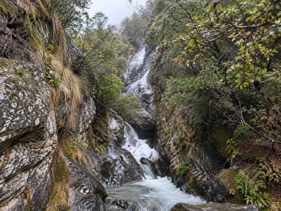
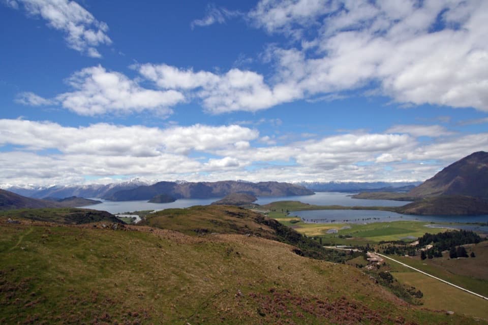
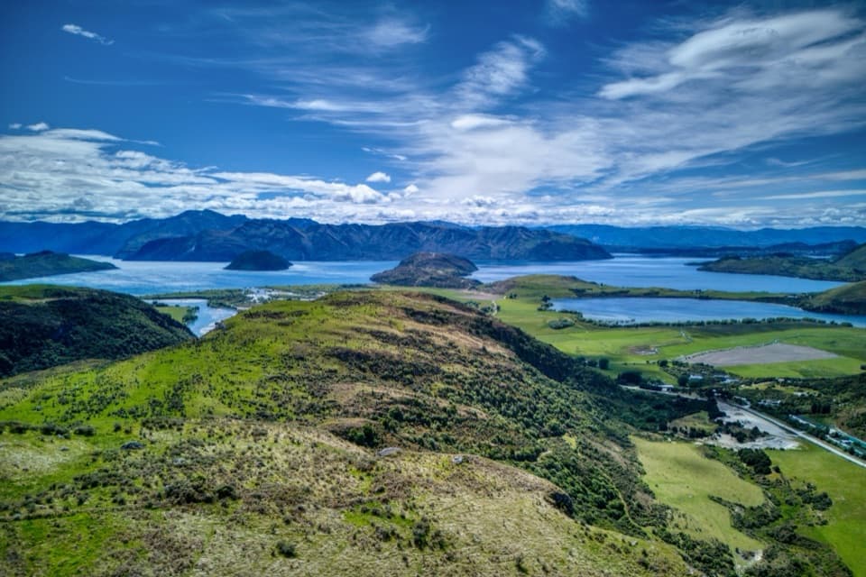
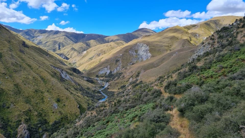
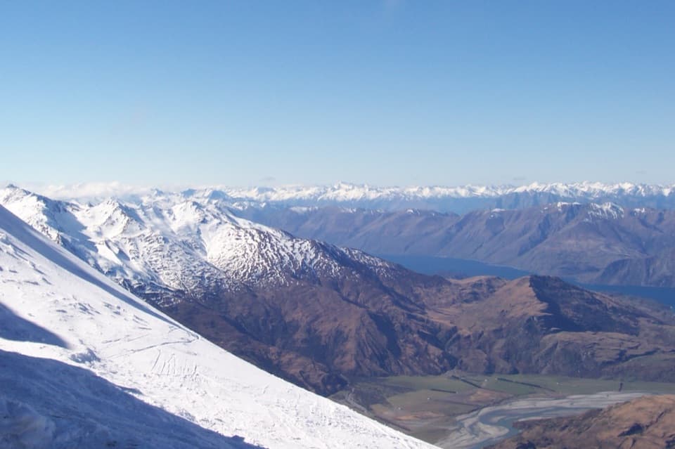
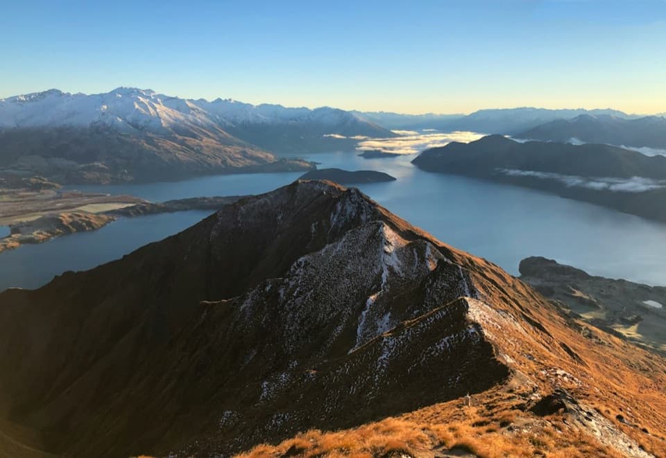
The routeThe route follows the Harris Mountains between ridge tops, basins and valleys.

The route follows the Harris Mountains between ridge tops, basins and valleys. From north to south it passes Polnoon Saddle, Mount Hyde, Mt Saint Just, Vanguard Peak and Deep Creek Turks before reaching Coronet Peak. The mapped line is about 40.6 km; use the displayed distance as an estimate and leave room for detours or a longer line.

Route findingThis is backcountry navigation, not a formed track: the inter-hut route is unmarked and not…

This is backcountry navigation, not a formed track: the inter-hut route is unmarked and not established. Carry a map and GPS, be experienced with alpine route-finding, and take a locator beacon. Long stretches are exposed at altitude, where weather can change quickly and hypothermia is a serious risk.

The TurksEach Turk is a converted large water tank fitted with bunks and mattresses, cooking and eating…

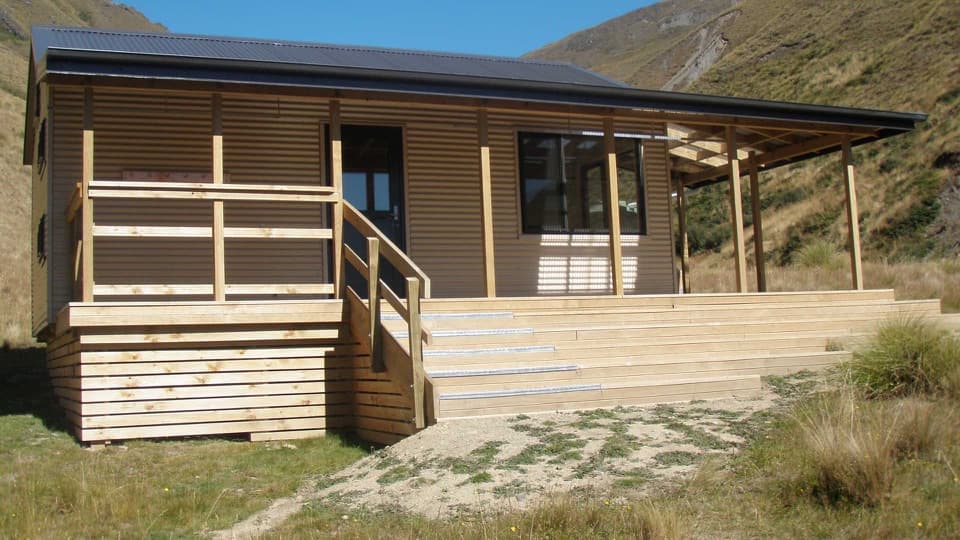
Each Turk is a converted large water tank fitted with bunks and mattresses, cooking and eating equipment, and lighting. For an overnight stay, Mountain Turk Club membership and advance booking are required. Bring your own food, sleeping bag and gas for the cooker; water availability was not confirmed.

Access and conditionsAbout 70% of the traverse crosses Coronet Peak Station, with the balance on Public Conservation…

About 70% of the traverse crosses Coronet Peak Station, with the balance on Public Conservation Land. The Club says ski-field roads serve both ends, but the Coronet Peak access procedure and land permissions for the complete line were not established. Summer access to Treble Cone car park requires the ski area's online safety induction and gate code. Confirm access and hut arrangements before setting out; no standard summer stages or walking times were found.

Wildlife

Wildlife in Queenstown-Lakes District

All Queenstown-Lakes District wildlife maps

Sighting maps show where each species has been reported across Queenstown-Lakes District. Wildlife moves, so no sighting is guaranteed.

Parkwolf’s Queenstown-Lakes District ranking

Top-rated trails in Queenstown-Lakes District

All 155 trails
  1. 1Routeburn TrackChallenging · 33.1 km
  2. 2Roys Peak TrackChallenging · 16 km
  3. 3Ben Lomond TrackChallenging · 14 km
  4. 4Rob Roy TrackModerate · 10 km
  5. 5Isthmus Peak TrackChallenging · 16 km
  6. 6Routeburn Falls TrackChallenging · 19.6 km

Take Parkwolf to Queenstown-Lakes District.

The audio tour guide for the drive, plus offline maps, trails, and wildlife heatmaps for when the signal drops.

4.7 from 8,600+ ratings

Download Parkwolf on the App StoreGet Parkwolf on Google Play