Parking
Start at the Kawarau Suspension Bridge access off SH6. Trail-specific parking arrangements were not verified. The route ends at Nevis Bluff, so arrange a pickup or plan to walk back.
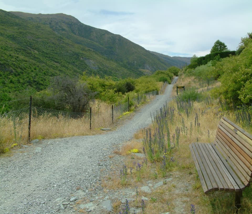
Queenstown-Lakes District, New Zealand, OT
Vineyard rows and river lookouts above the Kawarau.
Photo: Andre Chalmers, CC BY-SA 3.0, via Wikimedia Commons
Overview
Map & elevation
Plan your hike

The highest, rockiest slopes around here are a summer buffet for grizzly bears.
Queenstown-Lakes District Tour Guide
Parkwolf is a GPS audio tour guide for Queenstown-Lakes District, New Zealand. As you drive, it chimes in with what’s ahead: hidden gems, upcoming stops, history, geology, and wildlife, right through your car’s speakers.
See the Queenstown-Lakes District audio tourRecorded for this trailhead
Kawarau Bridge and Bungy Centre“Kawarau Bridge and Bungy Centre is coming up, and you don't have to jump to enjoy this stop. Watching from the viewing deck is free, with no booking needed.”
Plays as you drive up to this trailhead in the Parkwolf Queenstown-Lakes District Tour Guide.
More stories near here in the app
“Fantastic app with many points of information… It’s great to just turn on while you’re driving and it gives you an audio tour of the national Park. We love it!!!!”


Trail guide
Gibbston River Trail is a shared, point-to-point 8.7 km (5.4 mi) walk from the Kawarau Suspension Bridge to the Nevis Bluff end, following the Kawarau River through vineyard rows. The trail runs above the gorge and opens to river viewpoints with picnic benches. Allow 2–3 hours one way. Choose it for a longer river-and-vineyard walk; it is not just a stroll around the bridge.
There is no loop. Arrange a pickup at Nevis Bluff or return along the same line; walking back makes this about 17.4 km (10.8 mi) and roughly 4–6 hours. I could not verify a return shuttle or trail-specific parking arrangement, so sort out how you will get to both ends before starting. This is part of the cycle-trail network too, so expect to share the path with cyclists.
The route travels downstream past vine rows, with several places to stop above the river. At an outlook, leave a little vineyard or track in the frame with the river and cliffs beyond; that gives the gorge some scale. The trail crosses SH6, so stop and check traffic at each crossing.
Cellar doors and the Gibbston Tavern are near the route, but they are detours rather than facilities along every stretch. If visiting wineries is the main event, plan those stops separately from the 8.7 km line.
The Kawarau Suspension Bridge dates to 1880; a replacement road bridge opened in the 1960s. The historic bridge later became the site of the world’s first commercial bungy operation, which began in 1988. The separate Peregrine Loop drops toward the Kawarau Dog-leg rapid and is a Grade 4 excursion; it is not part of this trail or its distance.
Wildlife
 194 sightingsKeaMost seen around 5 PMSighting map
 18 sightingsKākāMost seen around 6 PMSighting map
 198 sightingsKererūMost seen around 10 AMSighting map
 53 sightingsWekaMost seen around 6 PMSighting map
 245 sightingsTūīMost seen around 8 AMSighting map
 98 sightingsBellbirdMost seen around 6 AMSighting map
Sighting maps show where each species has been reported across Queenstown-Lakes District. Wildlife moves, so no sighting is guaranteed.
Keep exploring
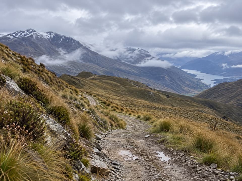 ModerateRock Peak Track7.7 km · 3.3 hr · 3.4 km awayClimb a zigzag 4WD track for open Pisa Range views.
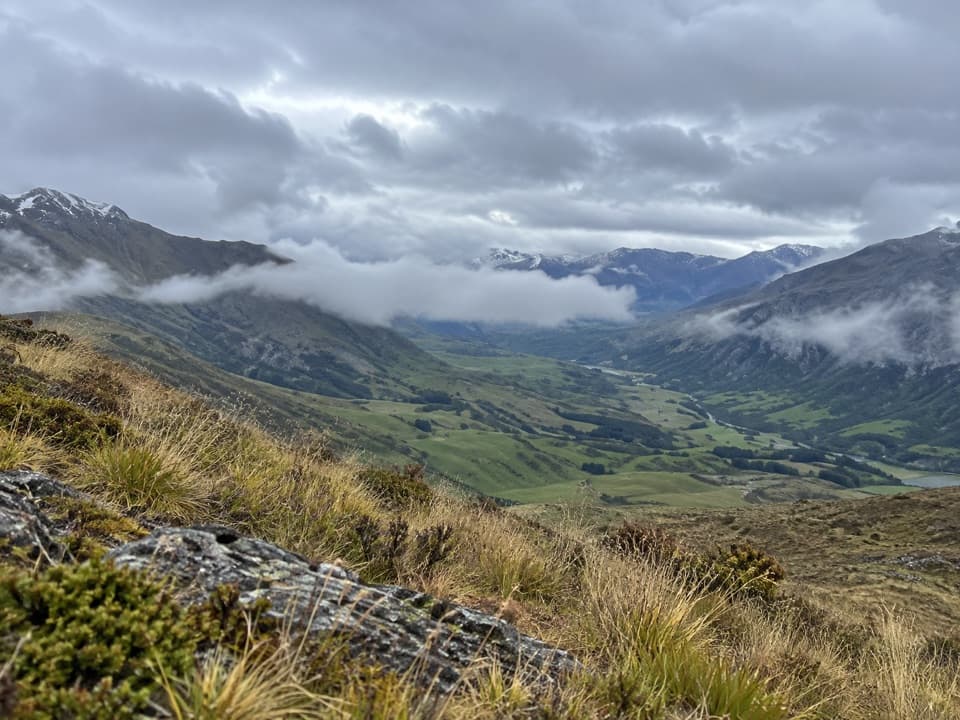 ChallengingMt Rosa Track9 km · 7 hr · 6.6 km awayA high-country crossing over Rosa and Mason to SH6.
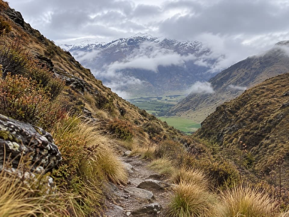 ModerateBrackens Saddle Track3.6 km · 1.5 hr · 6.6 km awayA paddock crossing and narrow gorge lead to a tucked-away saddle.
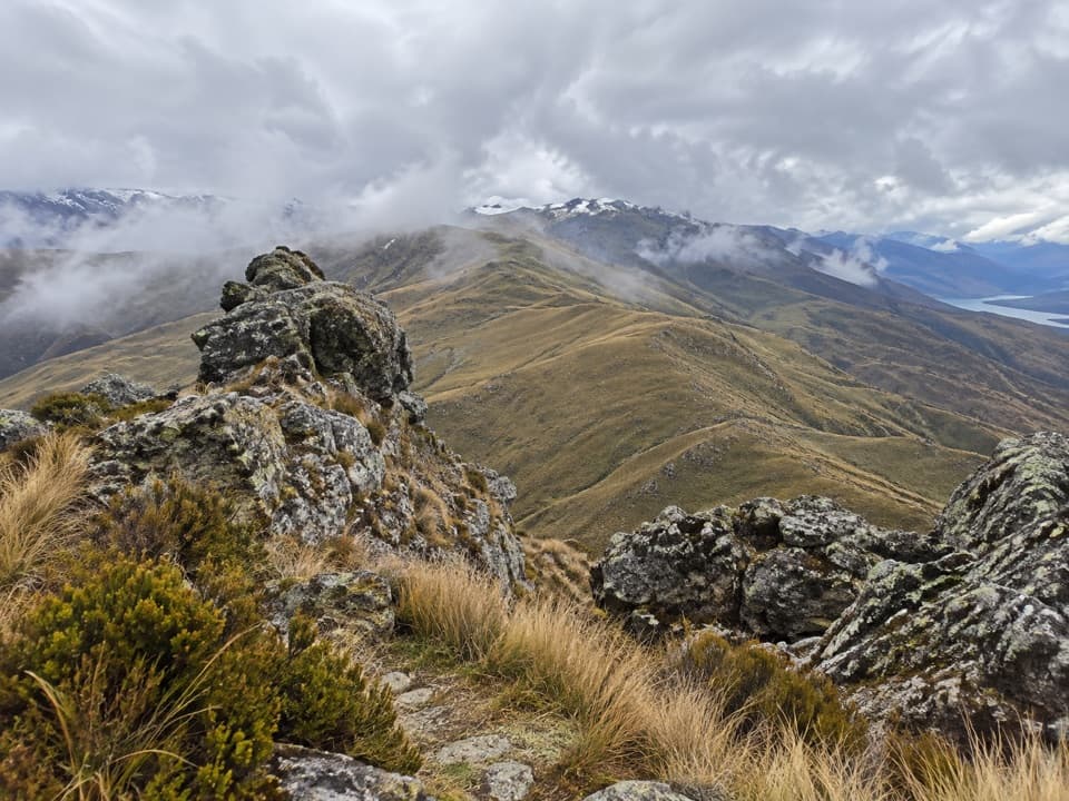 ChallengingCrown Peak Track9.3 km · 4.5 hr · 8 km awayTussock slopes climb to crown-like rocks and open basin views.
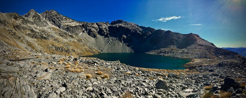 ModerateLake Alta Track3.3 km · 1.5 hr · 8.4 km awayA short alpine climb to a lake tucked beneath jagged peaks.
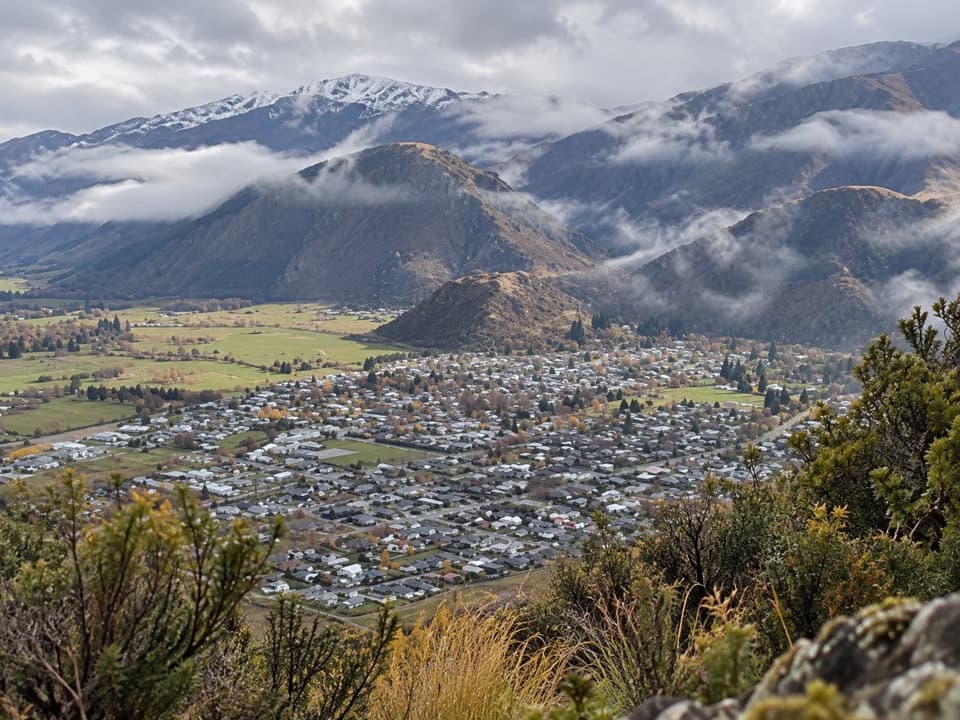 ModerateTobins Track4.7 km · 1.5 hr · 9.1 km awayWork uphill for Arrowtown and the basin spread out below.
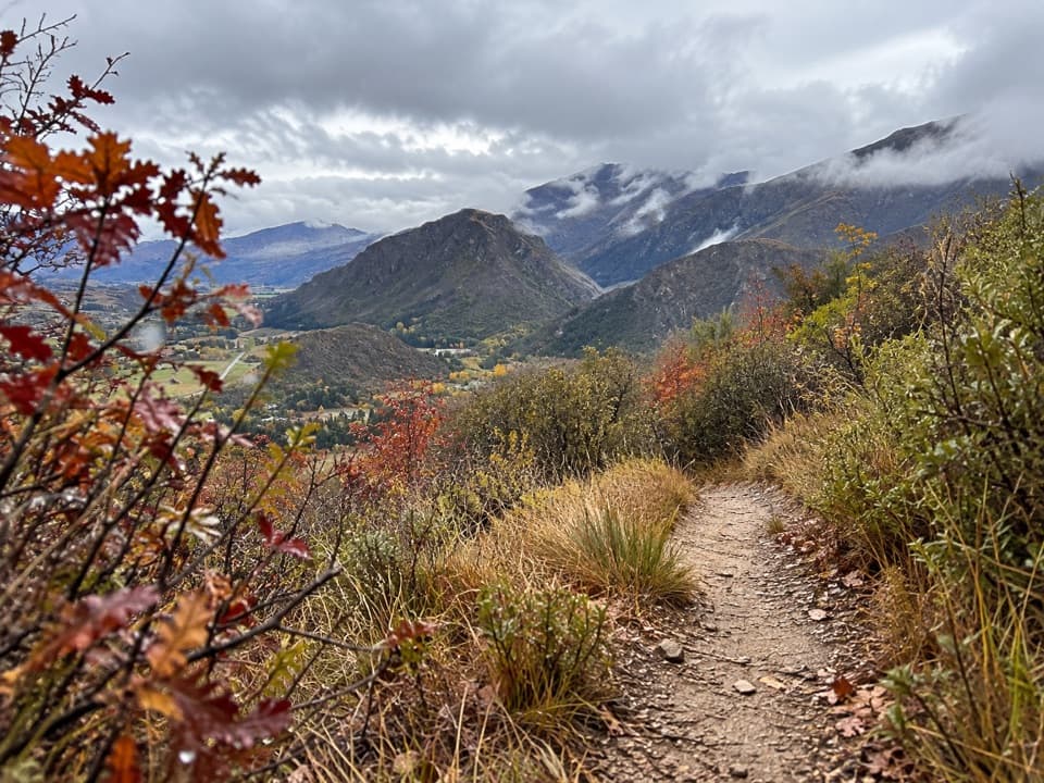 ModerateNew Chum Gully Track7.5 km · 3 hr · 9.1 km awayA steep loop through gold-rush gullies to broad basin views
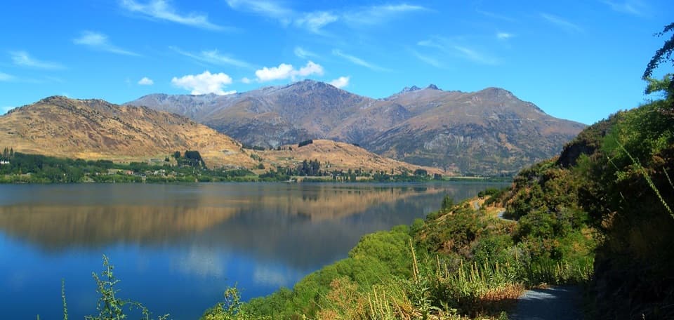 ModerateWaiwhakaata Lake Hayes Trail9.3 km · 3 hr · 9.3 km awayEight-kilometre lake loop with a steep west shore and mountain views.
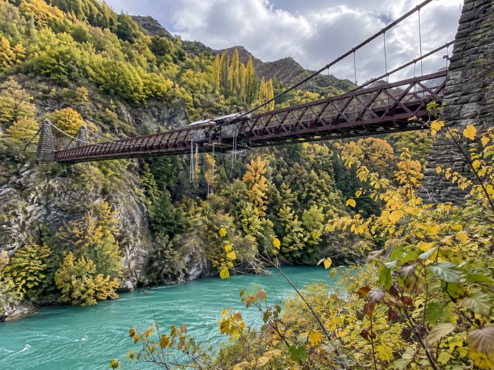 Sight · 0.2 km awayKawarau Bridge and Bungy CentreStand on the bridge where commercial bungy took off.
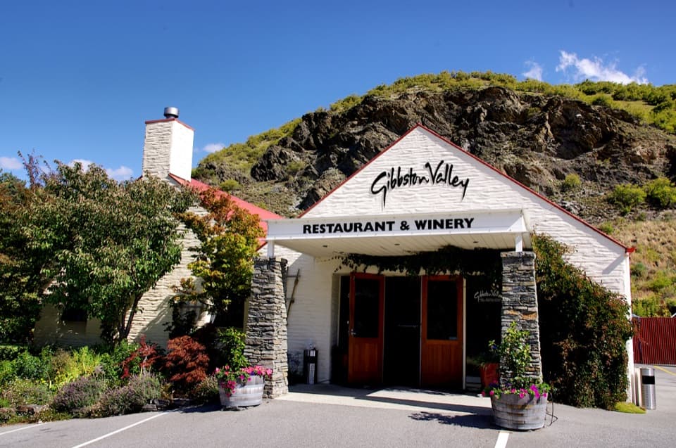 Sight · 1 km awayGibbston Valley WineryWine tastings in a cave, beside Central Otago's first vines.
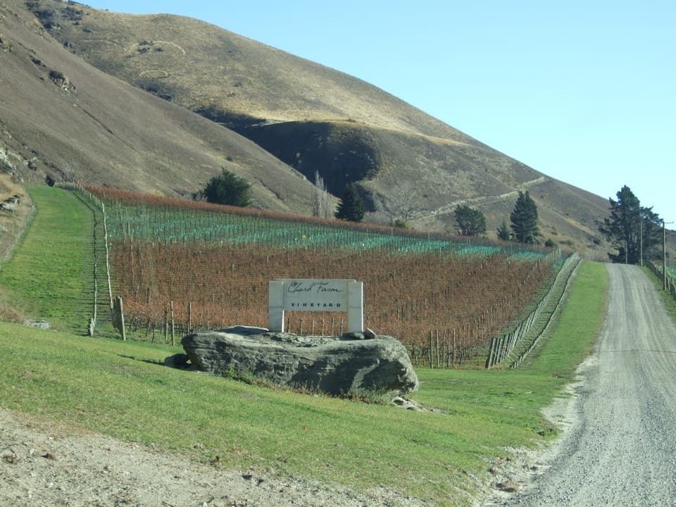 Sight · 1.7 km awayChard FarmA family winery above the Kawarau, reached by a scenic private road.
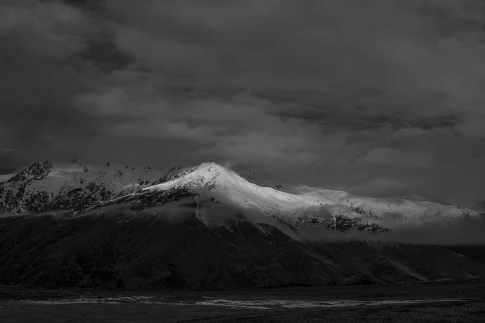 Scenic pullout · 3.4 km awayCrown Range Summit LookoutA short uphill walk opens a view over Queenstown and Lake Wakatipu.
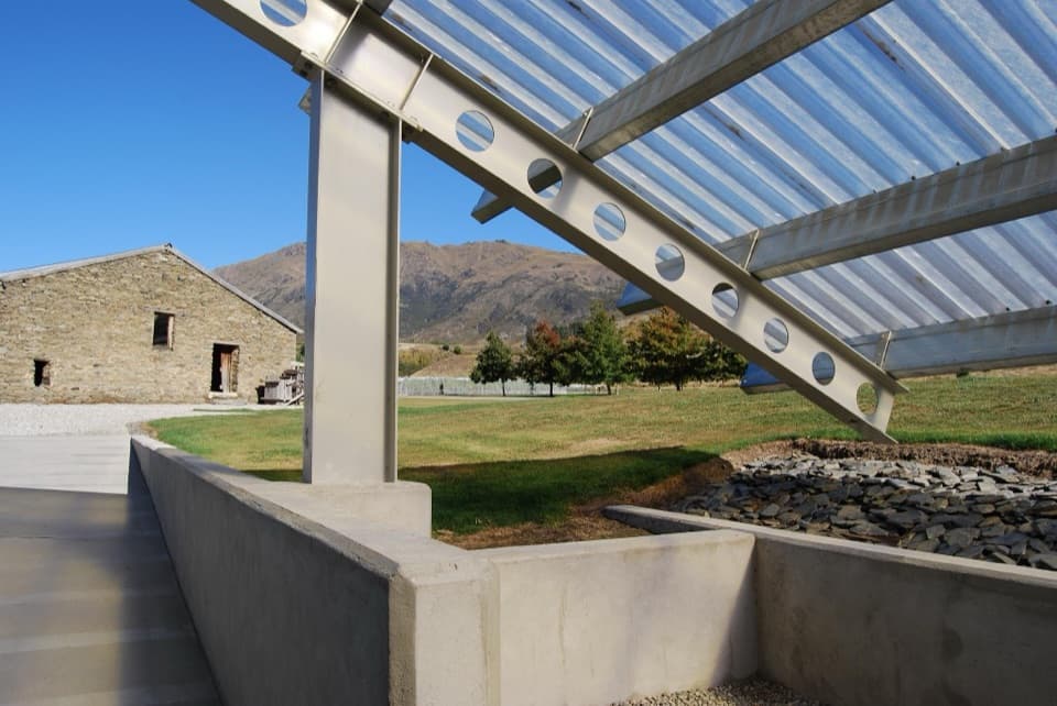 Sight · 4 km awayPeregrine WinesA falcon-wing cellar door beside a historic wool shed.
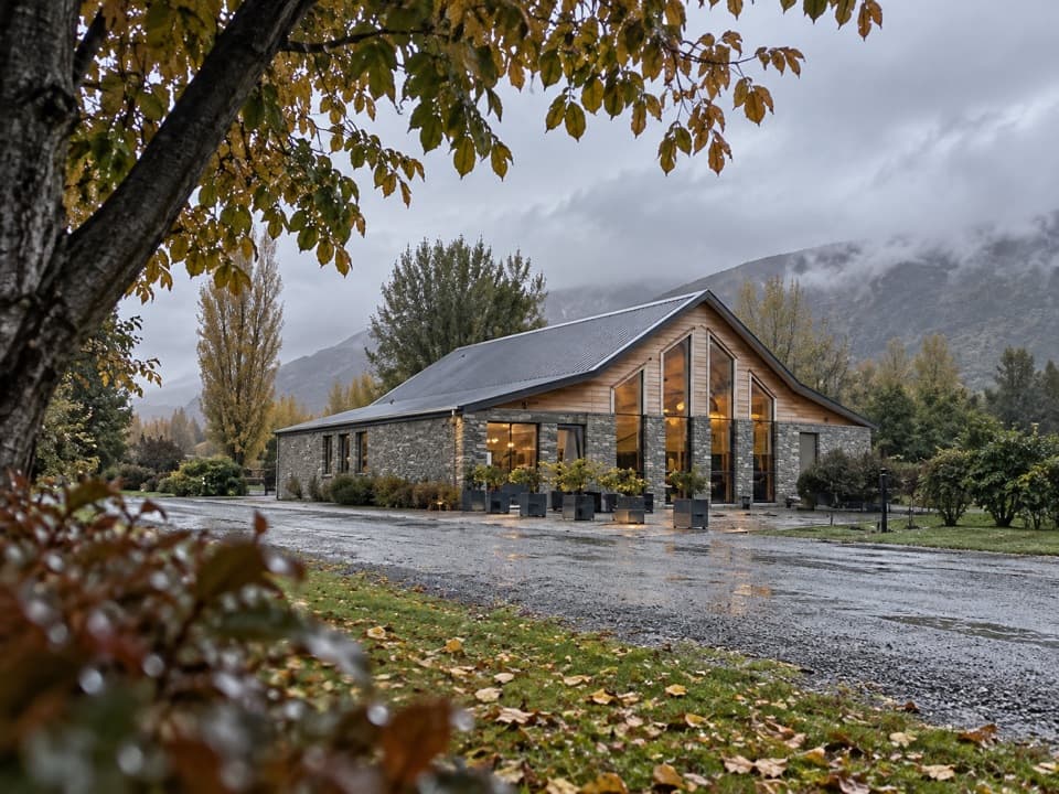 Sight · 5.6 km awayKinross Cellar DoorFive Central Otago wine labels, one Gibbston cellar door.
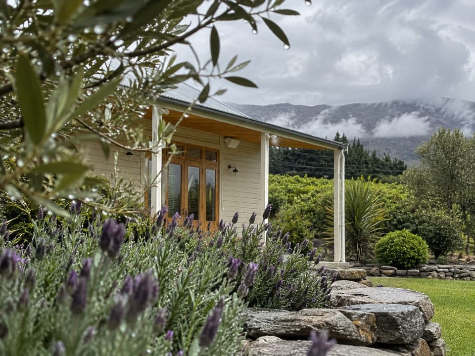 Sight · 6 km awayCoxs’ VineyardA private tasting in a schoolroom turned art gallery.
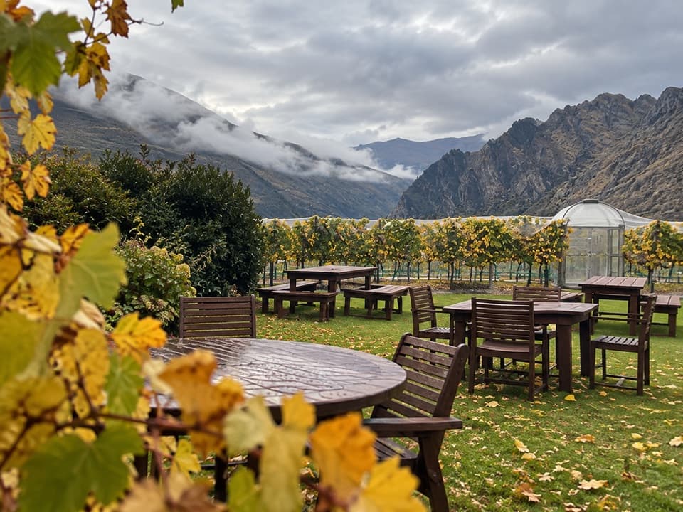 Food · 6.8 km awayBrennan WinesA cellar door for Pinot, platters and pétanque in the garden.
Parkwolf’s Queenstown-Lakes District ranking

The audio tour guide for the drive, plus offline maps, trails, and wildlife heatmaps for when the signal drops.





