Parking
Start at Crown Range Road where it crosses Coal Creek, on the Cardrona-side approach. No designated lot or roadside parking permission could be verified; do not block traffic and check current access signs before leaving the road.
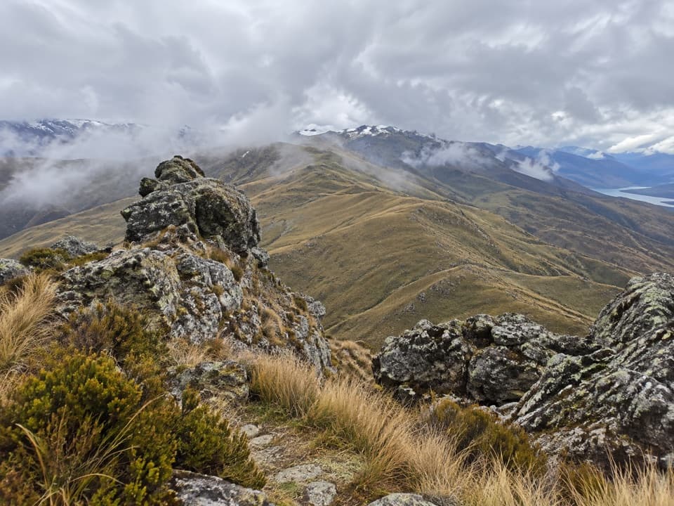
Queenstown-Lakes District, New Zealand, OT
Tussock slopes climb to crown-like rocks and open basin views.
Overview
Map & elevation
Plan your hike

The highest, rockiest slopes around here are a summer buffet for grizzly bears.
Queenstown-Lakes District Tour Guide
Parkwolf is a GPS audio tour guide for Queenstown-Lakes District, New Zealand. As you drive, it chimes in with what’s ahead: hidden gems, upcoming stops, history, geology, and wildlife, right through your car’s speakers.
See the Queenstown-Lakes District audio tourRecorded for this trailhead
Crown Peak from Coal Creek“You're nearing the Coal Creek start for Crown Peak, a hard climb through open tussock to crown-like summit rocks.”
Plays as you drive up to this trailhead in the Parkwolf Queenstown-Lakes District Tour Guide.
More stories near here in the app
“Fantastic app with many points of information… It’s great to just turn on while you’re driving and it gives you an audio tour of the national Park. We love it!!!!”


Trail guide
Crown Peak Track is an advanced out-and-back from Crown Range Road at the Coal Creek crossing: about 9.3 km (5.8 mi) round trip along the same roughly 4.6 km track each way. The climb starts beside the creek on an overgrown vehicle track, then rises through open tussock to a rocky 1,735 m summit. It is a hard, sustained walk with about 1,000 m of climbing. The published track map estimates 2 hours 30 minutes up and 2 hours back; allow extra time for a steady pace and a stop at the top.
The route begins just south of where Coal Creek crosses Crown Range Road, and the roadside entrance can be easy to miss. The lower track follows the creek corridor before turning uphill across open slopes; poles mark the upper route. Much of the climb has little shelter.
Large rocks give Crown Peak its crown-like summit. From the top, the open high-country setting looks across Lake Wakatipu, the Remarkables, Cardrona Valley and the Wakatipu Basin. The summit rocks make a strong foreground for a photo with the ridgelines beyond.
The published Mahu Whenua track map labels the Cardrona Road approach as route 16b and the Brackens Saddle approach as a separate route, 16a. Arrowtown hikes add Tobins Track and other connectors, sometimes with a looped return, so their distance describes a different outing. Measuring the 16b line on the map gives about 4.6 km one way; another route listing gives 11.9 km round trip, a difference we could not reconcile. The stored 9.3 km is the round-trip length of the mapped 16b line. The map was printed in 2017, and current access permission and parking at the road start could not be confirmed; check signs and land access before setting out.
Wildlife
 194 sightingsKeaMost seen around 5 PMSighting map
 18 sightingsKākāMost seen around 6 PMSighting map
 198 sightingsKererūMost seen around 10 AMSighting map
 53 sightingsWekaMost seen around 6 PMSighting map
 245 sightingsTūīMost seen around 8 AMSighting map
 98 sightingsBellbirdMost seen around 6 AMSighting map
Sighting maps show where each species has been reported across Queenstown-Lakes District. Wildlife moves, so no sighting is guaranteed.
Keep exploring
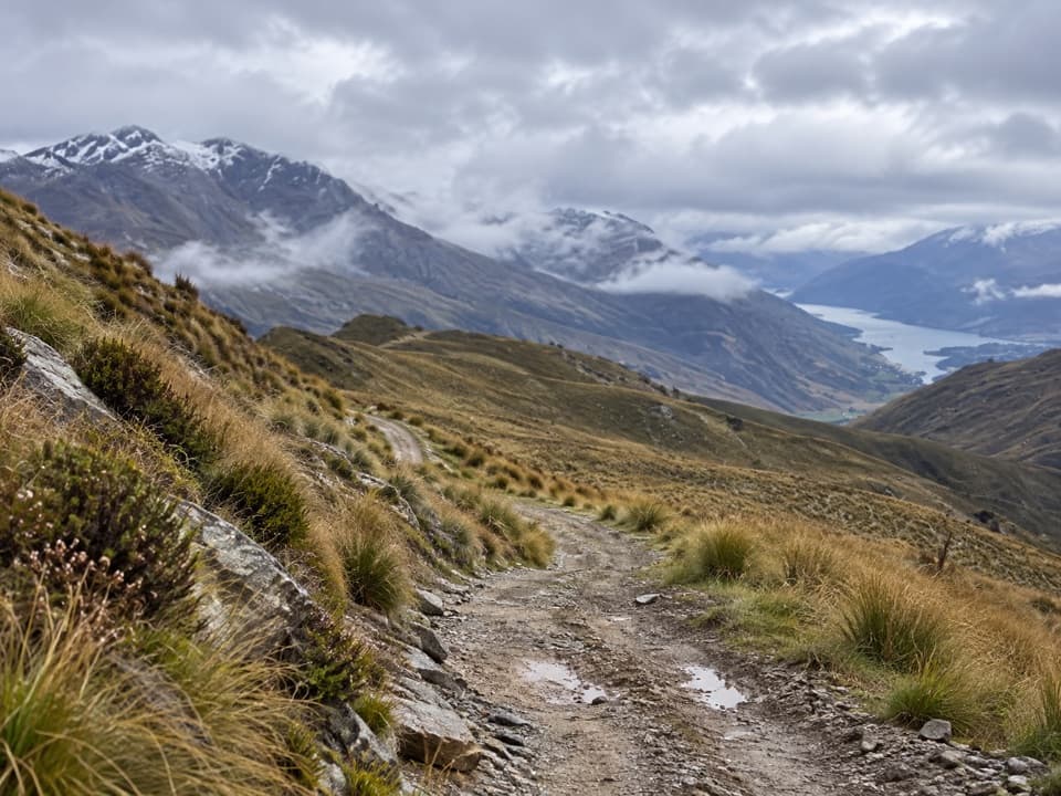 ModerateRock Peak Track7.7 km · 3.3 hr · 5 km awayClimb a zigzag 4WD track for open Pisa Range views.
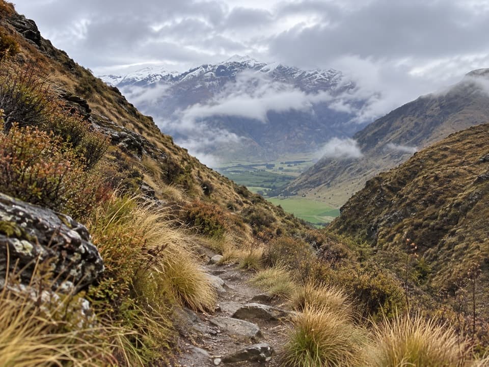 ModerateBrackens Saddle Track3.6 km · 1.5 hr · 7.2 km awayA paddock crossing and narrow gorge lead to a tucked-away saddle.
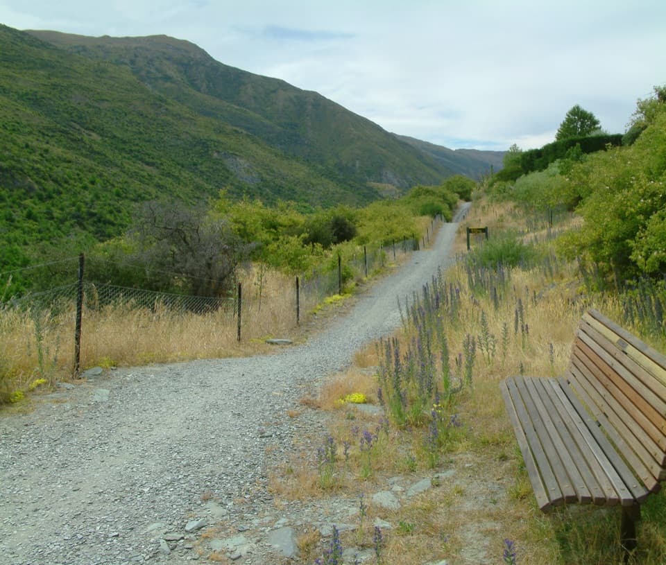 EasyGibbston River Trail8.7 km · 2.5 hr · 8 km awayVineyard rows and river lookouts above the Kawarau.
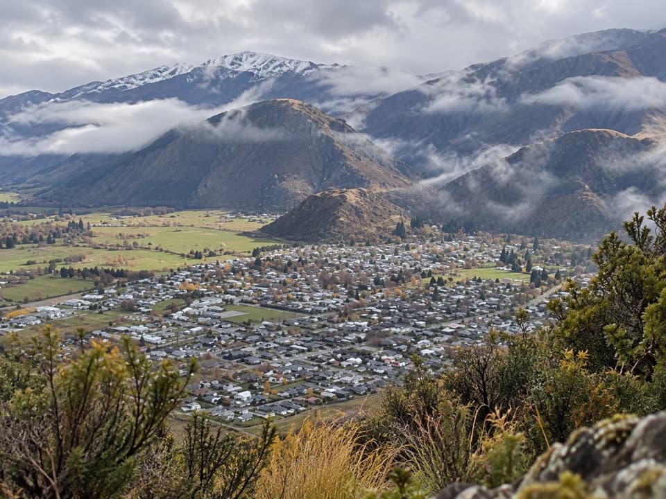 ModerateTobins Track4.7 km · 1.5 hr · 9.4 km awayWork uphill for Arrowtown and the basin spread out below.
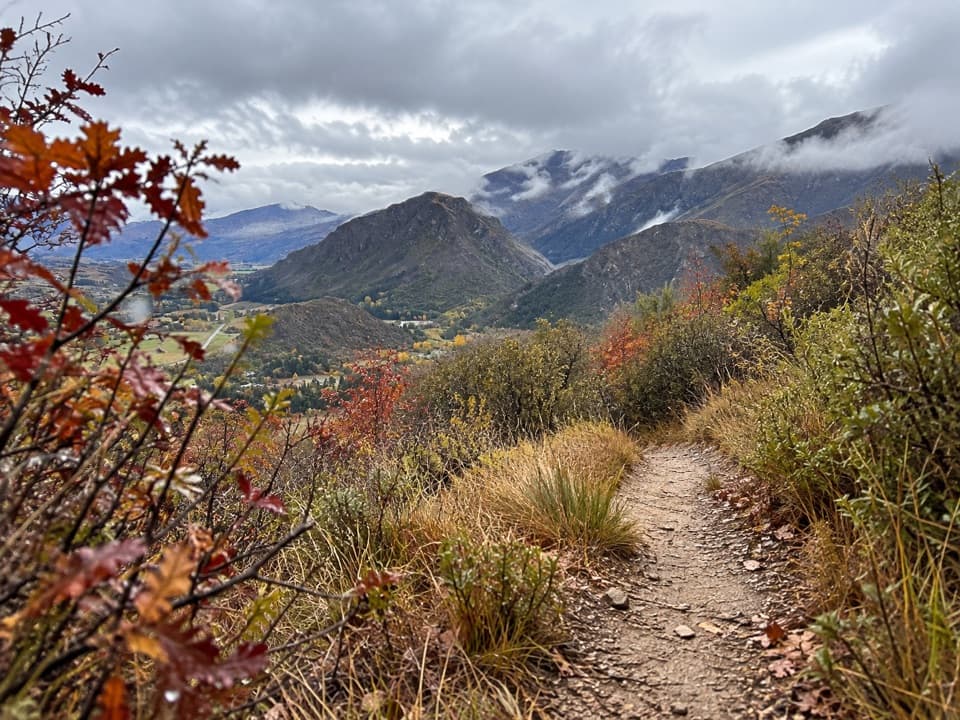 ModerateNew Chum Gully Track7.5 km · 3 hr · 9.5 km awayA steep loop through gold-rush gullies to broad basin views
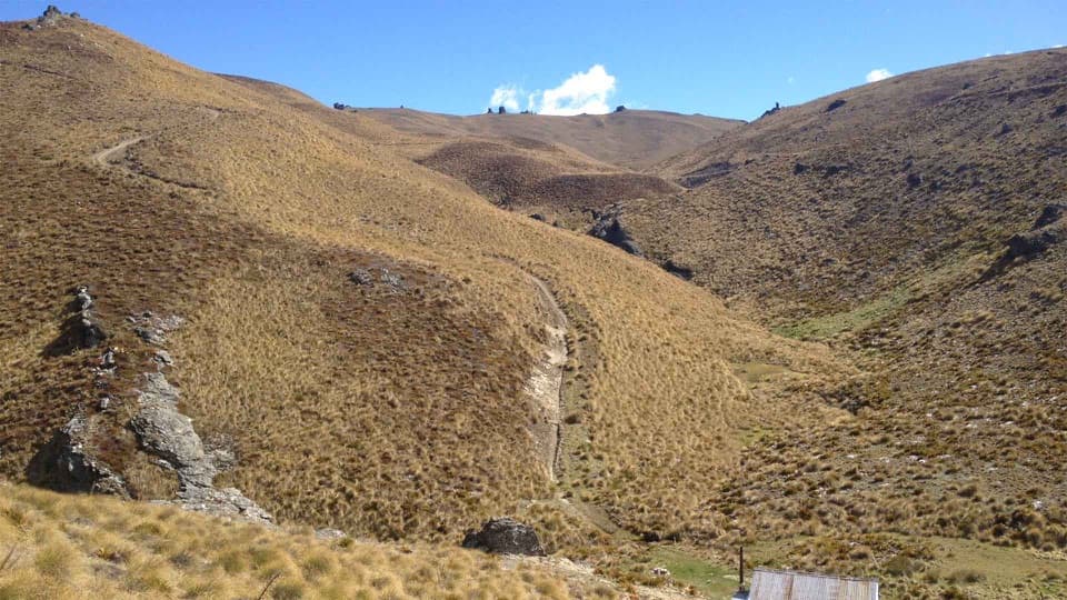 ChallengingCardrona-Cromwell Pack Track25 km · 10.5 hr · 9.9 km awayA full-day traverse over the Pisa Range to Lowburn.
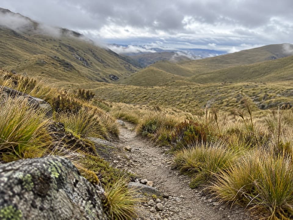 ChallengingRoaring Meg Pack Track18 km · 7 hr · 10 km awayA full Pisa Range crossing ends in the Roaring Meg gorge.
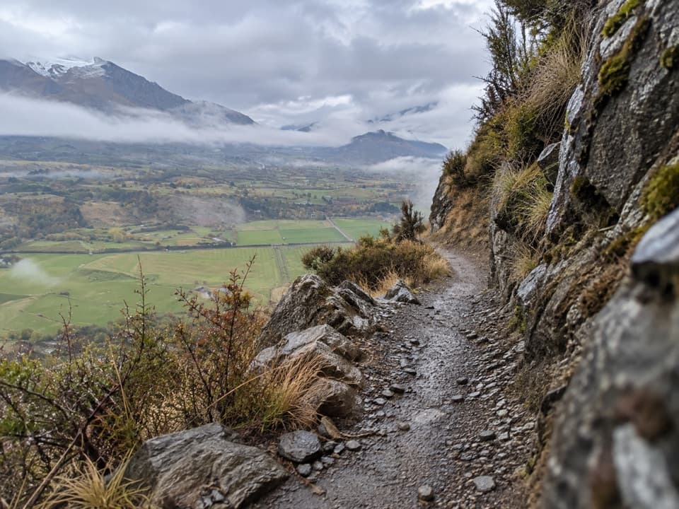 ChallengingCoronet Loop Trail49.9 km · 16 hr · 10.3 km awayMining water race and remote valleys on a huge loop.
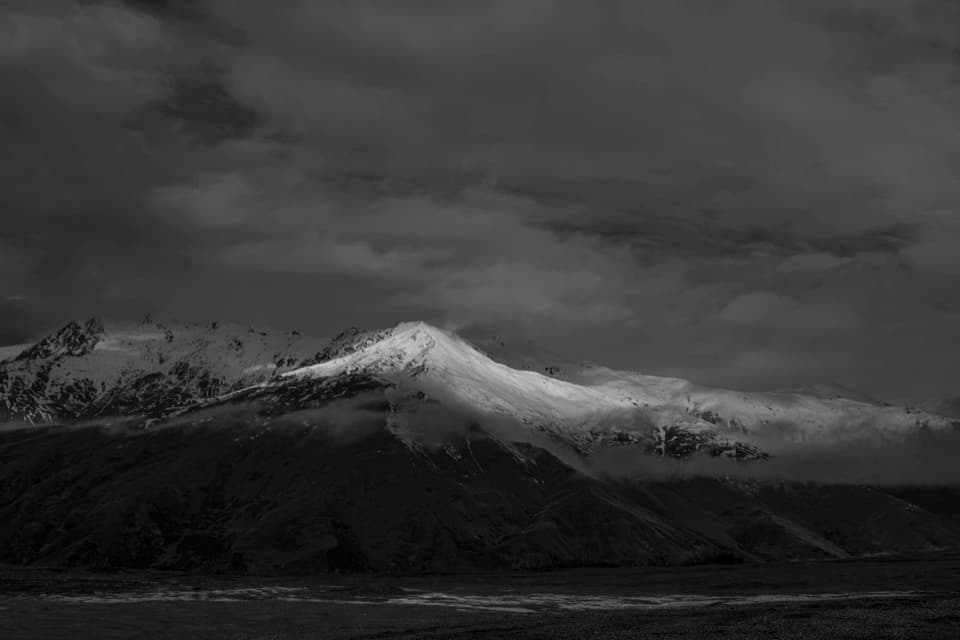 Scenic pullout · 4.9 km awayCrown Range Summit LookoutA short uphill walk opens a view over Queenstown and Lake Wakatipu.
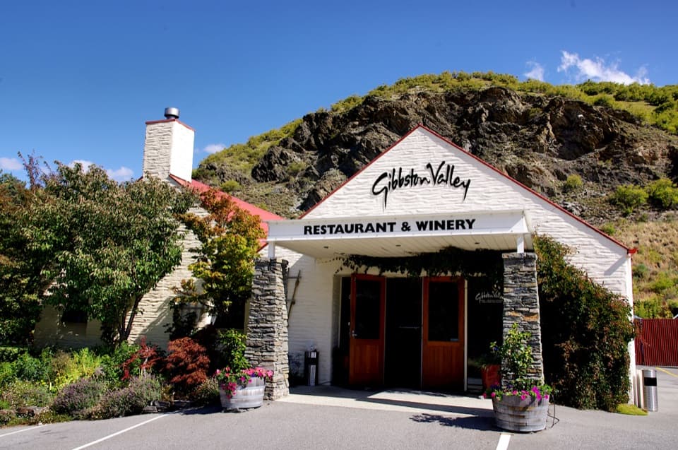 Sight · 7.7 km awayGibbston Valley WineryWine tastings in a cave, beside Central Otago's first vines.
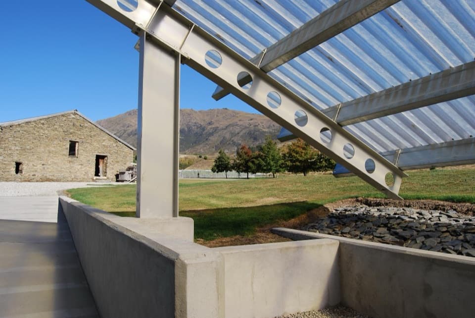 Sight · 7.8 km awayPeregrine WinesA falcon-wing cellar door beside a historic wool shed.
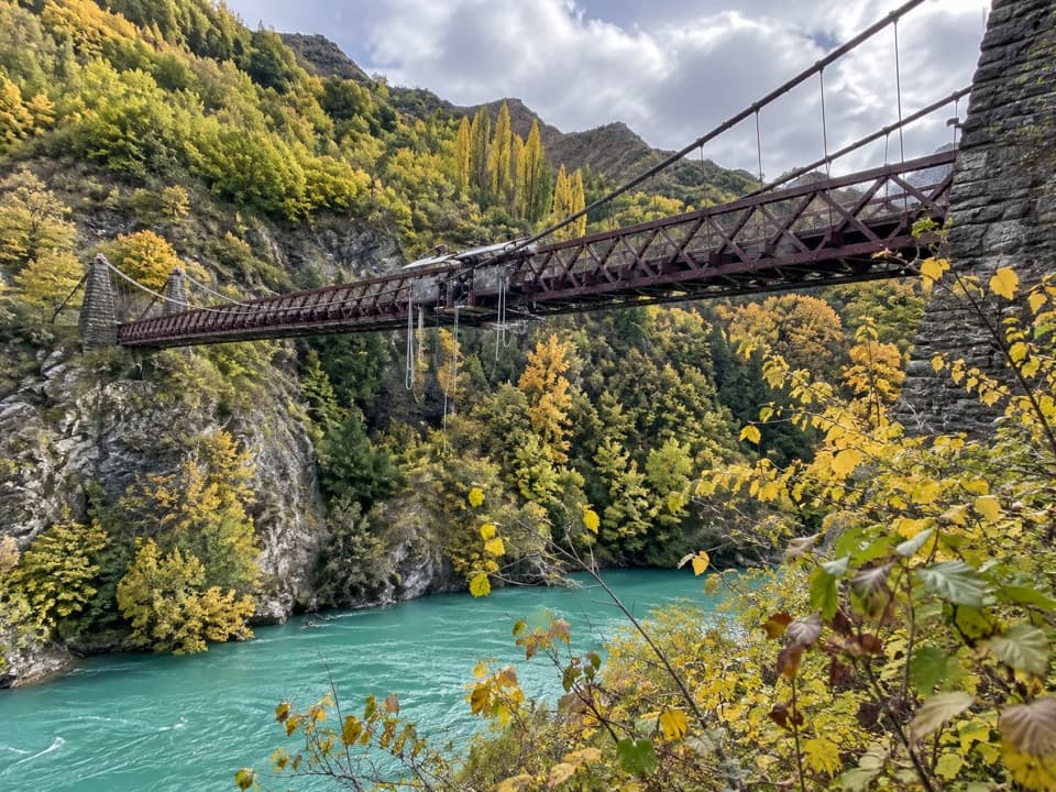 Sight · 8 km awayKawarau Bridge and Bungy CentreStand on the bridge where commercial bungy took off.
 Sight · 8.4 km awayCardrona HotelA historic pub and hotel on the road between Wānaka and Queenstown.
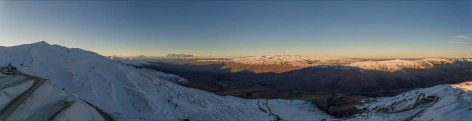 Sight · 8.6 km awayCardrona Alpine ResortSki runs, summer rides and big alpine views in one high valley.
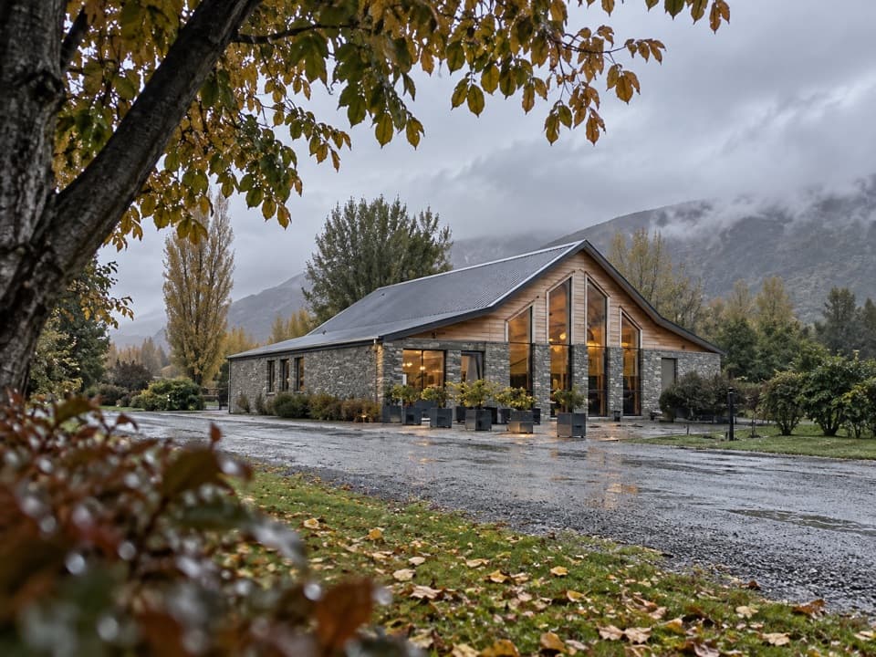 Sight · 8.7 km awayKinross Cellar DoorFive Central Otago wine labels, one Gibbston cellar door.
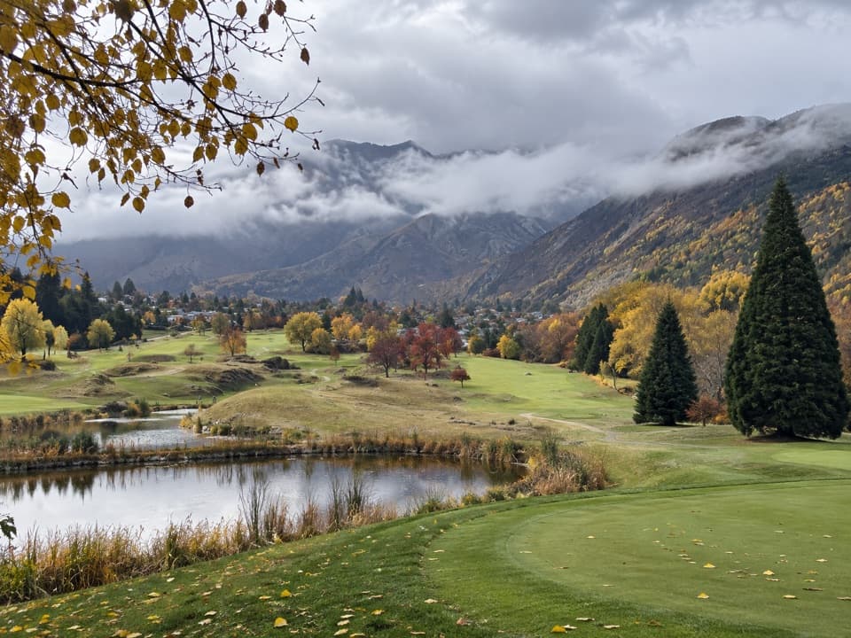 Sight · 9.1 km awayArrowtown Golf ClubMountain views for a round that rewards accuracy over distance.
Parkwolf’s Queenstown-Lakes District ranking

The audio tour guide for the drive, plus offline maps, trails, and wildlife heatmaps for when the signal drops.





