Place · 5.4 mi away
Challenging

This is a four–to–five day backcountry circuit linking the Rees and Dart valleys in Mount Aspiring National Park. It’s not a Great Walk, so expect fewer frills and more real-deal wilderness. The core circuit between Muddy Creek (Rees) and Chinamans Bluff (Dart) totals about 39 miles, based on the official section distances; add another 3.7 miles if you end up walking the fine‑weather road between Chinamans and Paradise. You’ll climb to Rees Saddle, traverse narrow sidles above Snowy Creek, and then descend long beech forests and river flats down the Dart.
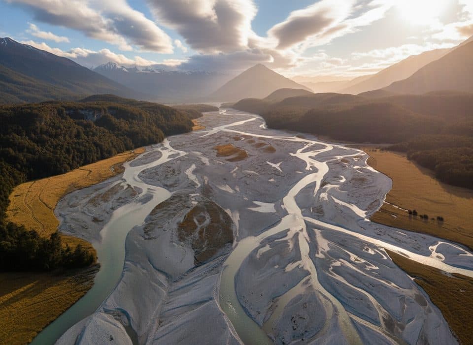
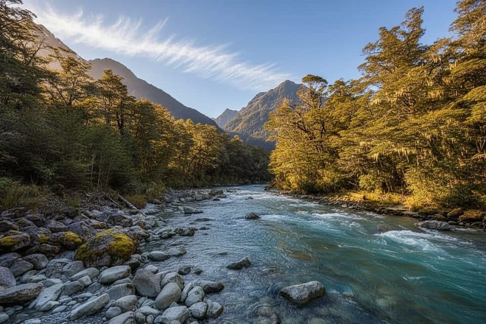
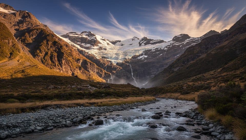
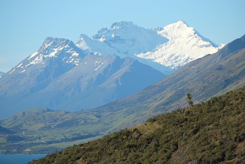
Big South Island drama: braided rivers, tussock basins, beech forest, and glacial country near Dart Hut. Keep an eye out for kea around the alpine sections. A conservation highlight: 18 takahē were released in the Rees Valley in February 2025—give them space and enjoy the rare sighting. Film buffs will recognize Dan’s Paddock near Paradise as the Isengard setting.
Go late December through April for the most reliable conditions. In spring (October–December), expect lingering snow near Rees Saddle, frequent high streams, and avalanche paths still active. The Upper Snowy Creek bridge is removed each winter and may not be reinstalled until as late as December—plan around that. Winter (May–October) is generally a mountaineers-only proposition with snow, ice, and avalanche gear required.
DOC times break down as: Muddy Creek → park boundary (12 km, 4–5 hr); park boundary → Shelter Rock Hut (7 km, 2–3 hr); Shelter Rock Hut → Dart Hut (10 km, 4–6 hr; narrow with steep drop‑offs); Dart Hut → Daleys Flat (18 km, 5–7 hr); Daleys Flat → Chinamans carpark (16 km, 5–7 hr). If the Dart road is flooded, you may need to walk the extra 6 km (2 hr) to Paradise. Strong parties often do this in four days; most appreciate five when rivers run high or for side trips from Dart Hut (Dart Glacier/Cascade Saddle is a serious, experienced‑only outing; Whitbourn Valley requires a hazardous ford since the bridge was removed).
No bookings—first come, first served. Huts are $25 per adult per night ($12.50 youth; under‑5 free). A Backcountry Hut Pass is valid only May 1–September 30. Camping is $10 adult ($5 youth) and allowed near huts, but not from Muddy Creek to the park boundary (private land) and not between Shelter Rock Hut and Dart Hut (fragile alpine zone). Hut water is untreated—boil or treat—and mice are common, so store food properly.
Start from Muddy Creek car park (Rees, 68 km from Queenstown) or Chinamans Bluff (Dart, 76 km). The Chinamans road is fine‑weather only and can flood; you might have to walk to/from Paradise. Don’t leave vehicles in risky washout spots. Consider a shuttle or vehicle relocation—this is not a tidy loop for cars.
Rivers and side streams rise fast and can become impassable—carry spare food and an emergency shelter. The Waterfall Creek bridge (between Clarke Slip and Shelter Rock Hut) is damaged; do not attempt crossings in high flows. The Upper Snowy Creek bridge is removed each winter and may not be back until December—do not plan to ford it. Avalanche paths exist above the bushline on both valleys from late autumn to early summer. Kea will chew unattended gear. In winter conditions, this track is generally impassable to anyone but experienced mountaineers with full alpine and avalanche equipment.
Rees end: Muddy Creek car park (68 km from Queenstown). Dart end: Chinamans Bluff car park (76 km from Queenstown) via a fine‑weather road that can flood; you may have to walk 6 km to Paradise. Avoid leaving vehicles beyond washout‑prone fords.
Check avalanche risk and bridge status (Upper Snowy Creek, Waterfall Creek) before committing; expect flooding, fast‑rising side streams, quicksand areas near Dredge Flat, and exposed narrow sidles between Shelter Rock Hut and Dart Hut. Winter travel requires mountaineering and avalanche gear.