Parking
Muddy Creek Car Park at the end of Rees Valley Road, about a 30-minute gravel drive from Glenorchy; the road has fords.
Queenstown-Lakes District, New Zealand, OT
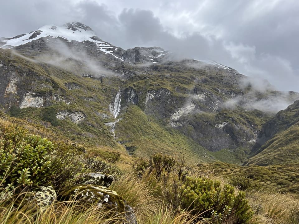
Big Rees Valley views after a long climb to tussock country.
Overview
Map & elevation
Plan your hike

The highest, rockiest slopes around here are a summer buffet for grizzly bears.
Queenstown-Lakes District Tour Guide
Parkwolf is a GPS audio tour guide for Queenstown-Lakes District, New Zealand. As you drive, it chimes in with what’s ahead: hidden gems, upcoming stops, history, geology, and wildlife, right through your car’s speakers.
See the Queenstown-Lakes District audio tourRecorded for this trailhead
Muddy Creek and the Rees-Dart Track“Muddy Creek car park is coming up, the start of the Rees-Dart Track.”
Plays as you drive up to this trailhead in the Parkwolf Queenstown-Lakes District Tour Guide.
More stories near here in the app
“Fantastic app with many points of information… It’s great to just turn on while you’re driving and it gives you an audio tour of the national Park. We love it!!!!”


Trail guide
Kea Basin Track is a hard out-and-back of about 24.4 km (15.2 mi) from Muddy Creek Car Park, typically an 8–10 hour day. Follow Rees Track to Twenty Five Mile Creek, cross the Rees River, cross the valley floor, then climb through bush to the Earnslaw Hut turnoff and on to the tussock basin below Pikirakatahi / Mount Earnslaw. The stored distance includes the full Rees Valley approach and the walk back along the same route, not just the upper climb. Go for the change from a broad river valley to a tucked-away alpine basin and the view up Rees Valley toward Rees Saddle. This is a remote, committing day for fit walkers with real river-crossing experience.
The route follows Rees Track to Twenty Five Mile Creek, then leaves the main track for the Kea Basin route. It crosses the Rees once and follows the valley floor to a low terrace north of Lennox Falls. The approach has uneven ground and boggy patches, so allow time and expect wet boots. Part of the route crosses private land; keep to the marked way. A rougher vehicle-road approach is described elsewhere, but it involves several river crossings and is a different variant.
The uphill track begins where bush meets the low terrace and zigzags through the trees. After about an hour, a turnoff leads to Earnslaw Hut, a basic four-bunk hut. The track continues toward a rock bivvy just above the bushline, about 15 minutes beyond the hut, before reaching the tussock basin. The hut is a useful landmark, but it is not the end of the Kea Basin walk.
The basin sits below the steep slopes of Pikirakatahi / Mount Earnslaw. Look back up Rees Valley toward Rees Saddle; the contrast between the open tussock and the high, rocky walls is the payoff for the long approach. Waterfalls and hanging ice are visible on the surrounding slopes. Pikirakatahi has Tōpuni status in recognition of its historic and cultural importance to Ngāi Tahu. Keep this outing to the basin; routes farther up the mountain are a separate mountaineering undertaking.
Muddy Creek Car Park is at the end of Rees Valley Road, around 30 minutes from Glenorchy on gravel with fords. Rees River and its tributaries can rise quickly and become dangerously swift; only cross when conditions are safe, and do not go without river-crossing experience. Avalanche terrain can affect the route, most often from May through November but potentially in any season, so check current avalanche information before setting out. Dogs and other pets are not allowed in the park.
Wildlife
 194 sightingsKeaMost seen around 5 PMSighting map
 18 sightingsKākāMost seen around 6 PMSighting map
 198 sightingsKererūMost seen around 10 AMSighting map
 53 sightingsWekaMost seen around 6 PMSighting map
 245 sightingsTūīMost seen around 8 AMSighting map
 98 sightingsBellbirdMost seen around 6 AMSighting map
Sighting maps show where each species has been reported across Queenstown-Lakes District. Wildlife moves, so no sighting is guaranteed.
Keep exploring
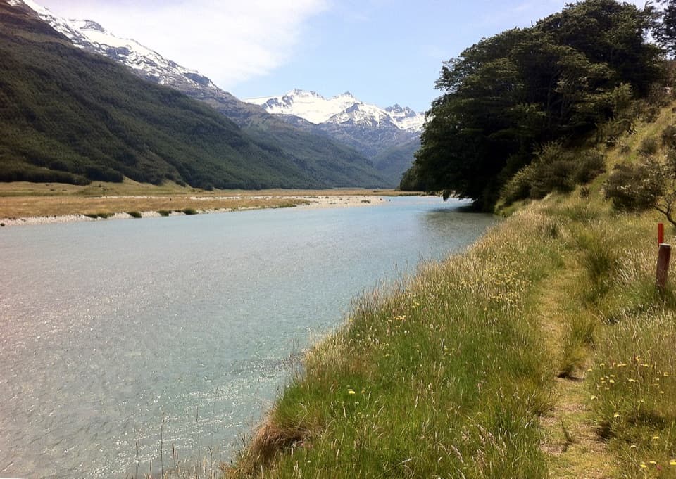 ChallengingRees-Dart Track63 km · 1 day · At the trailheadCross an alpine saddle between the Rees and Dart valleys
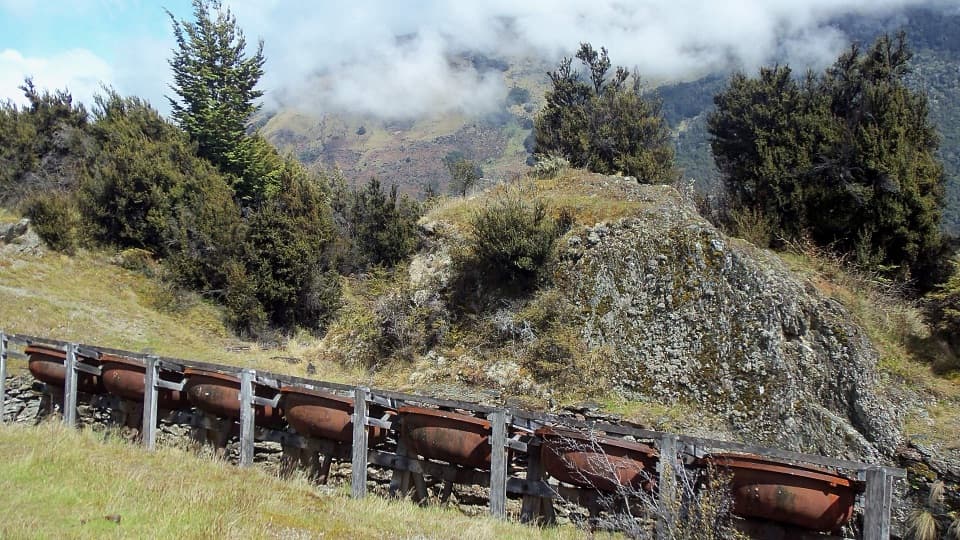 ModerateInvincible Mine Track4.5 km · 3 hr · 4 km awayMine machinery and a Rees Valley view reward the steady climb.
 ChallengingEarnslaw Burn Track16.6 km · 10 hr · 6.8 km awayA hard 10.3-mile return to an icefall beneath Pikirakatahi.
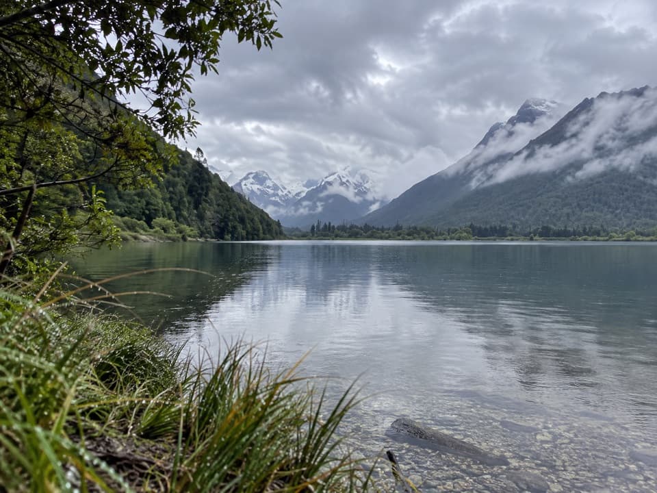 EasyDiamond Creek Walk6.9 km · 1.5 hr · 11.9 km awayA boggy creek walk ends with birdlife and broad valley views.
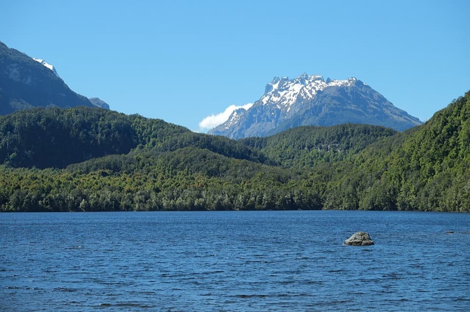 EasyLake Sylvan Track6.5 km · 1.7 hr · 12.7 km awayA red-beech lake walk with a return along a 1920s tramline.
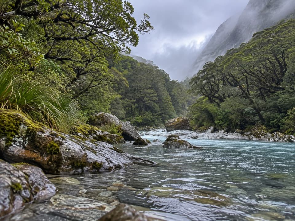 ModerateBeans Burn Track13.2 km · 3.8 hr · 12.9 km awayA jetboat drops you beside a faint track into a remote valley.
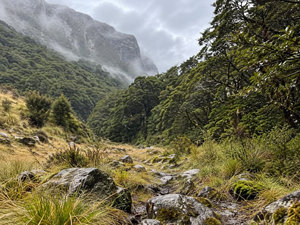 ChallengingScott Creek Track7.3 km · 6 hr · 14.1 km awayA steep, rough climb toward remote Scott Basin.
 ChallengingRouteburn Track33.1 km · 13.5 hr · 15.3 km awayA 20 mile traverse from beech forest to exposed alpine country.
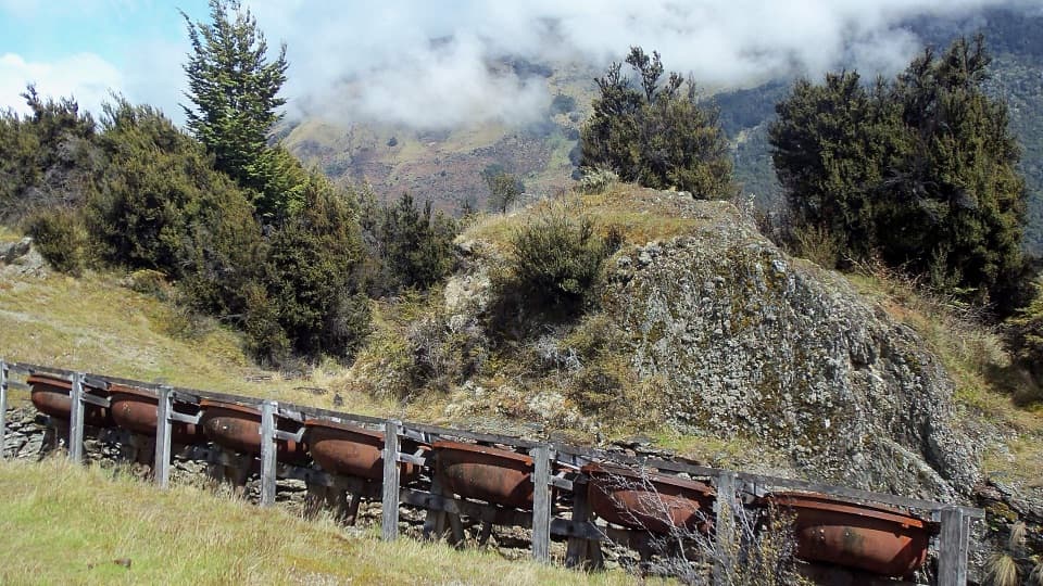 Sight · 3.3 km awayInvincible MineSeven old ore-grinding bowls reward the climb above Rees Valley.
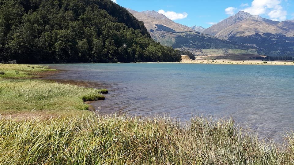 Campground · 8 km awayDiamond Lake CampsiteSwim, fish, or kayak beside your overnight stop.
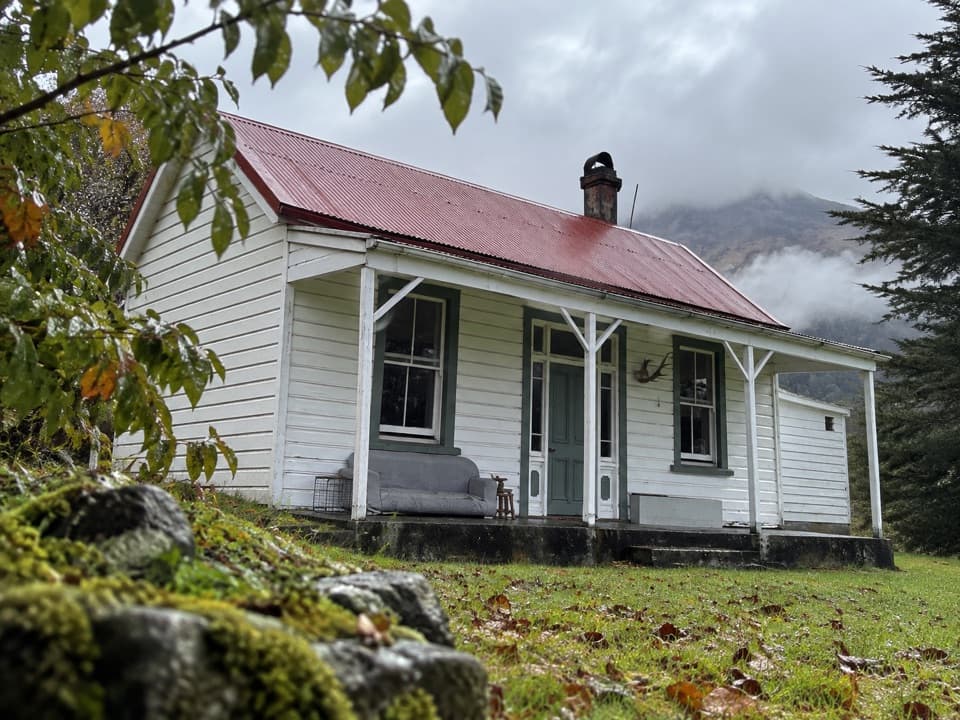 Lodging · 9 km awayParadise TrustBook a remote historic stay at the head of Lake Wakatipu.
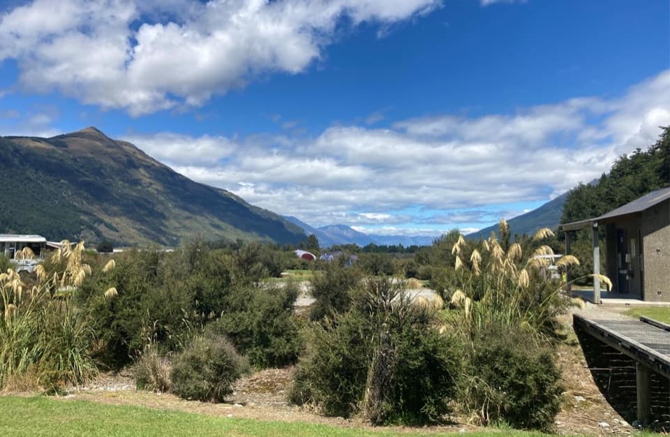 Campground · 13.2 km awaySylvan CampsiteRiverside camping with Lake Sylvan and Routeburn walks nearby.
Parkwolf’s Queenstown-Lakes District ranking

The audio tour guide for the drive, plus offline maps, trails, and wildlife heatmaps for when the signal drops.




