Parking
Start at the Old Lower Shotover Bridge West car park off Tucker Beach Road. Toilets, a picnic bench and shelter are there; no water stations are available on the route.
Queenstown-Lakes District, New Zealand, OT
4.4 km one-way riverside walk with views of the historic bridge.
Overview
Tucker Beach Trail is an easy, 4.4 km one-way walk from the Old Lower Shotover Bridge West car park to Tucker Beach Recreation Reserve, where it meets the Shotover Gorge Trail. Allow about an hour. It’s a relaxed way to follow the river and get mountain views, but it’s point to point: arrange a pickup at the far end or retrace the route for an 8.8 km return walk.
 Parkwolf’s verdictIs this the walk for you?
Map & elevation
Plan your hike

The highest, rockiest slopes around here are a summer buffet for grizzly bears.
Queenstown-Lakes District Tour Guide
Parkwolf is a GPS audio tour guide for Queenstown-Lakes District, New Zealand. As you drive, it chimes in with what’s ahead: hidden gems, upcoming stops, history, geology, and wildlife, right through your car’s speakers.
See the Queenstown-Lakes District audio tourRecorded for this trailhead
Tucker Beach Trail“You're approaching the Old Lower Shotover Bridge access to Tucker Beach Trail.”
Plays as you drive up to this trailhead in the Parkwolf Queenstown-Lakes District Tour Guide.
More stories near here in the app
“Fantastic app with many points of information… It’s great to just turn on while you’re driving and it gives you an audio tour of the national Park. We love it!!!!”


Trail guide
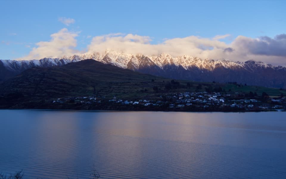
The trail climbs gently through willows to a high terrace, with a short, narrow boardwalk about 100 metres from the start. Look back from the terrace for the historic bridge and The Remarkables across the river. The track is mostly wide, smooth gravel with easy ups and downs. It skirts bluffs, descends toward Tucker Beach Wildlife Management Reserve below Coronet Peak, then climbs out and briefly shares Tucker Beach Road before dropping to the reserve trail junction. There are steep drops near the river in places, and the road section has vehicle traffic; keep left and watch for cars.
The reserve supports threatened gravel-bed birds, including black-billed gulls, banded dotterels and black-fronted terns. Keep dogs on a lead through the reserve. Toilets, a picnic bench and shelter are at the starting car park; there are no water stations along the trail, so carry what you need. The trail opened in October 2018 as a gift to the community marking 75 years of Rotary in Whakatipu.
Wildlife
 194 sightingsKeaMost seen around 5 PMSighting map
 18 sightingsKākāMost seen around 6 PMSighting map
 198 sightingsKererūMost seen around 10 AMSighting map
 53 sightingsWekaMost seen around 6 PMSighting map
 245 sightingsTūīMost seen around 8 AMSighting map
 98 sightingsBellbirdMost seen around 6 AMSighting map
Sighting maps show where each species has been reported across Queenstown-Lakes District. Wildlife moves, so no sighting is guaranteed.
Keep exploring
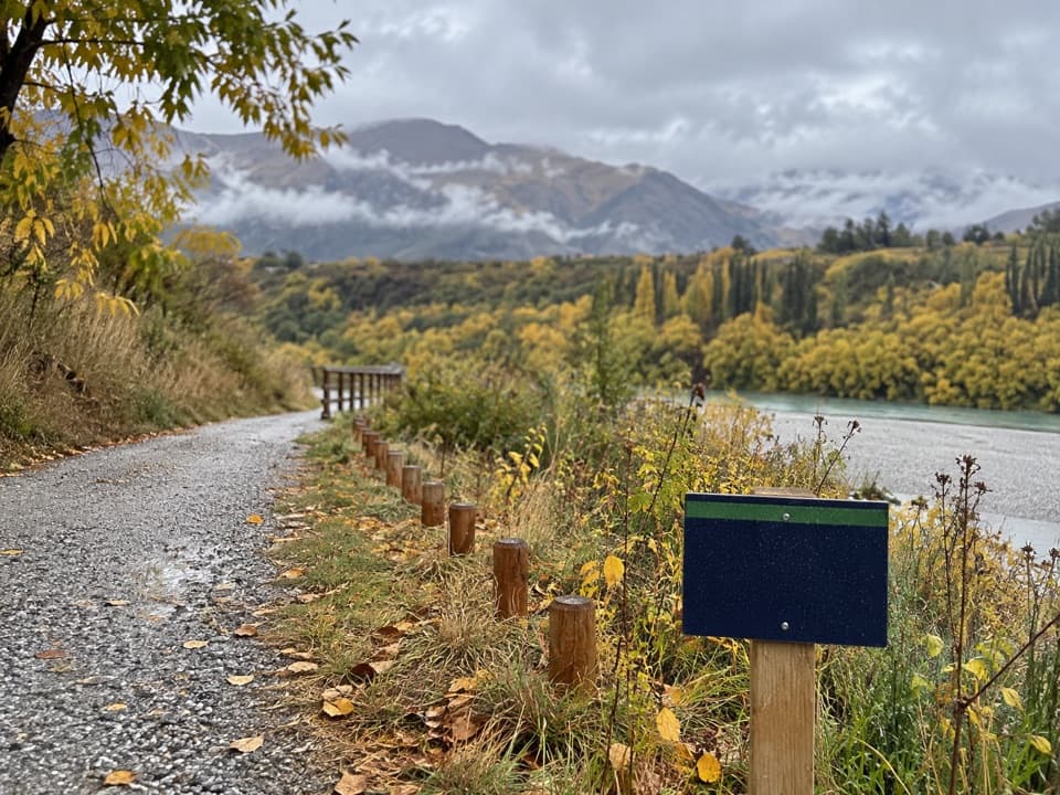
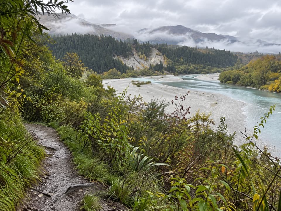 ModerateLower Shotover Conservation Area Trail6 km · 2 hr · 0.2 km awayRough riverside singletrack to a high terrace above Shotover Gorge
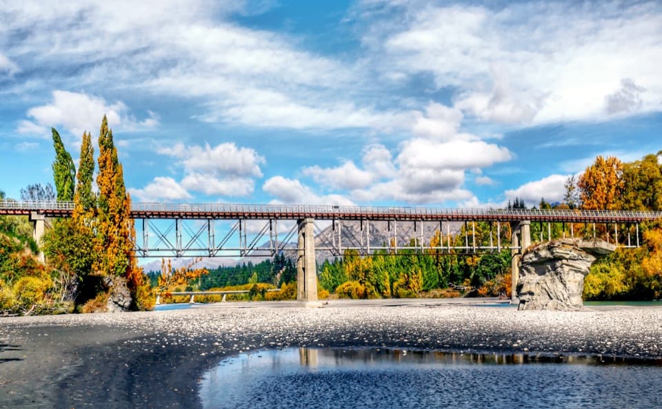 ModerateTwin Rivers Trail18.5 km · 4.5 hr · 3.9 km awayAn 18.5 km river traverse crosses a restored 1871 bridge.
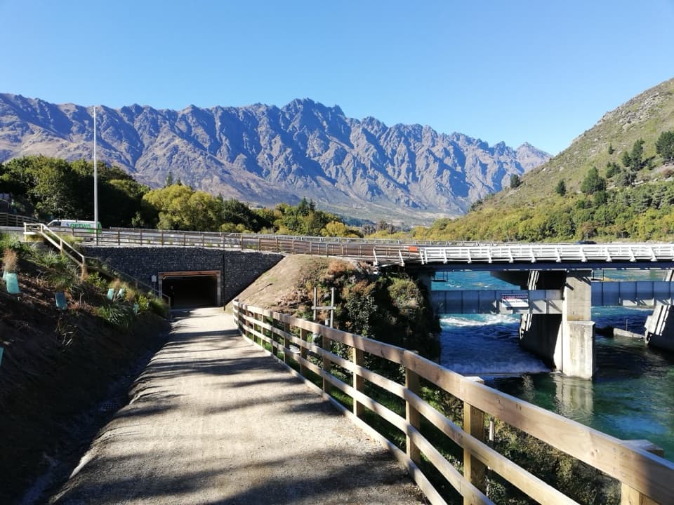 EasyKelvin Heights Trail9.3 km · 1.8 hr · 4.6 km awayFrankton Arm views on a long, easy shore-to-park walk.
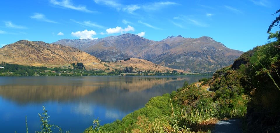 ModerateWaiwhakaata Lake Hayes Trail9.3 km · 3 hr · 5.2 km awayEight-kilometre lake loop with a steep west shore and mountain views.
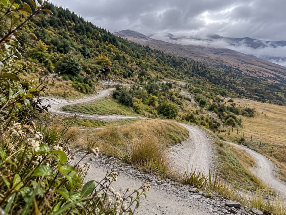 EasyWharehuanui Trail13 km · 3 hr · 5.6 km awayA long, easy traverse of wetlands and Coronet foothills.
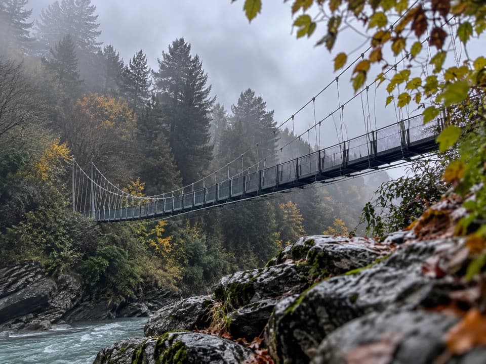 ModerateShotover Gorge Trail6.5 km · 1.8 hr · 6.2 km awayA four-mile gorge trail through a historic tunnel to a suspension bridge.
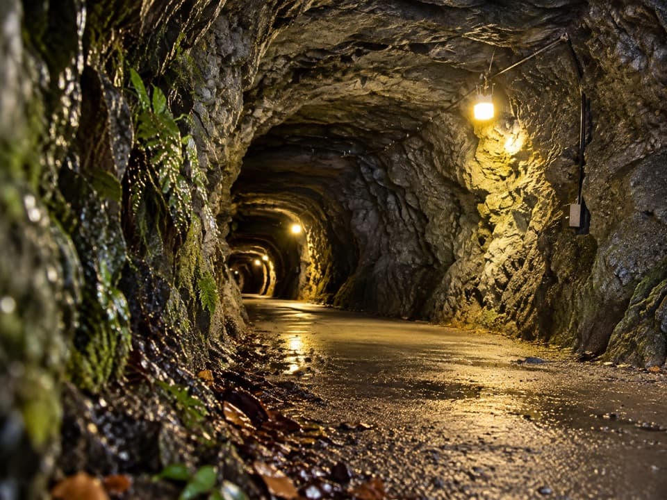 ModerateHugo Tunnel Loop6.6 km · 2 hr · 6.2 km awayA 108-metre historic tunnel anchors this gorge-side circuit.
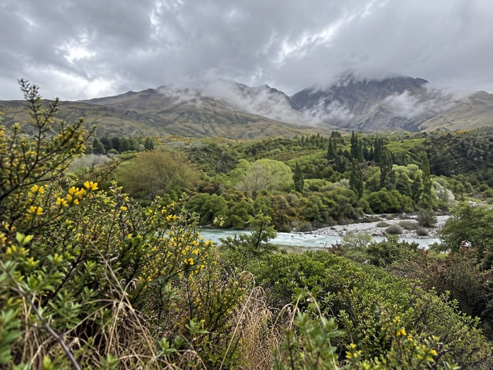 EasyMorningstar Track1.5 km · 30 min · 6.7 km awayA short riverside path overlooks the Shotover near Morning Star Beach.
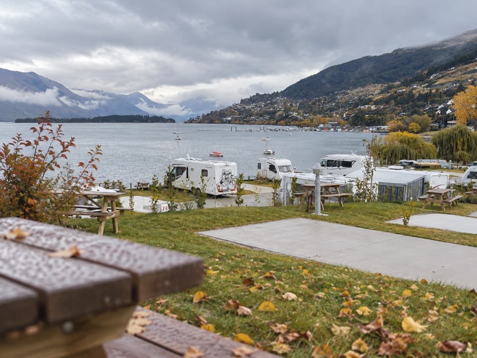 Campground · 3.3 km awayDriftaway Queenstown Holiday ParkA lakefront base with camping, cabins and a mountain backdrop.
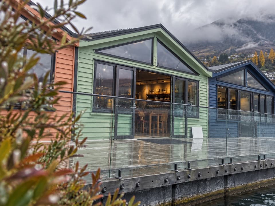 Store · 4 km awayWet Jacket WinesA hosted tasting with Lake Whakatipu and Remarkables views
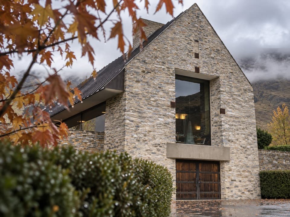 Restaurant · 4.8 km awayAmisfield Restaurant & Cellar DoorAn ambitious wine-led meal beside Lake Hayes.
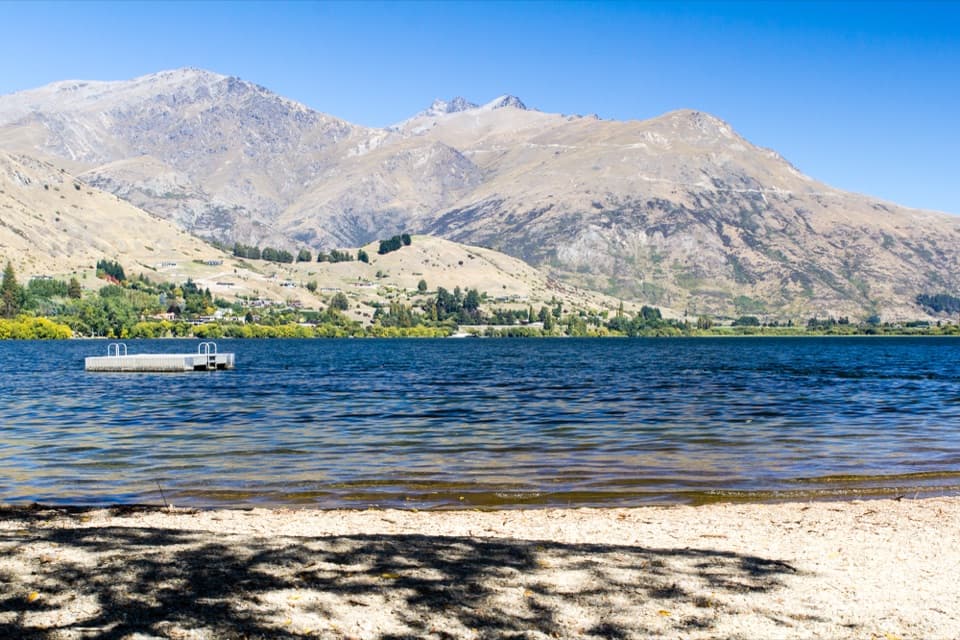 Beach · 5.4 km awayLake Hayes BeachA pebbly shore with a pontoon and Remarkables views.
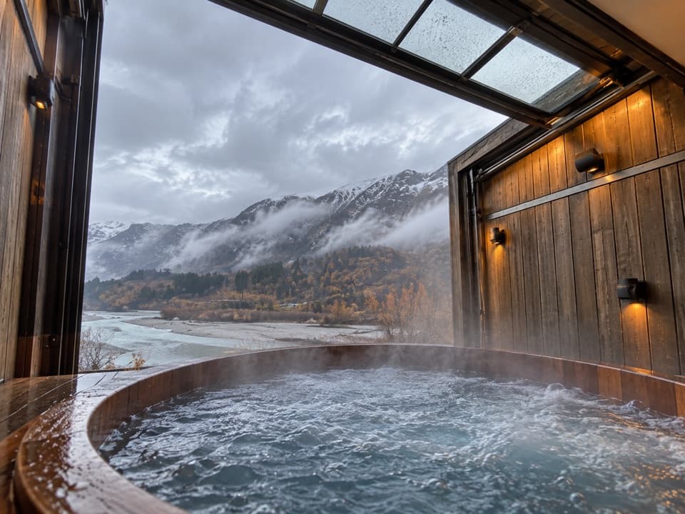 Sight · 5.9 km awayOnsen Hot Pools & Day SpaA private cedar soak above the Shotover River canyon.
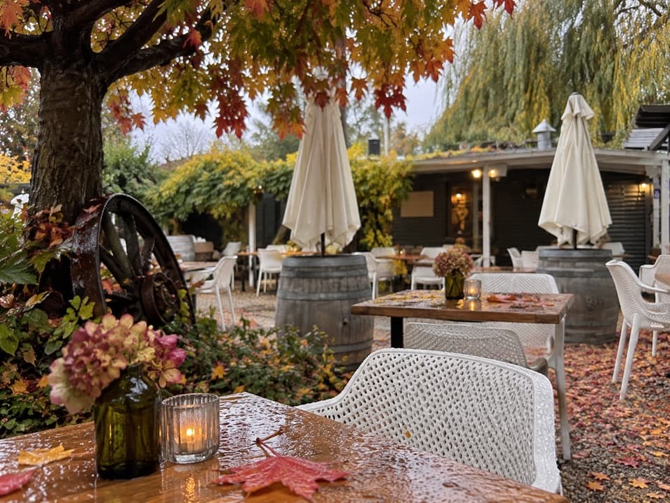 Restaurant · 6 km awayMora Wines & Artisan KitchenA walnut cottage where Central Otago wine meets garden dining.
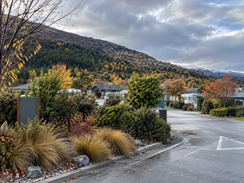 Campground · 6.4 km awayQueenstown TOP 10 Holiday ParkA family campground with a free shuttle into Queenstown
 Sight · 6.5 km awayDeer Park HeightsA self-drive farm with animals, film sites, and Queenstown views.
Parkwolf’s Queenstown-Lakes District ranking
The audio tour guide for the drive, plus offline maps, trails, and wildlife heatmaps for when the signal drops.





