Parking
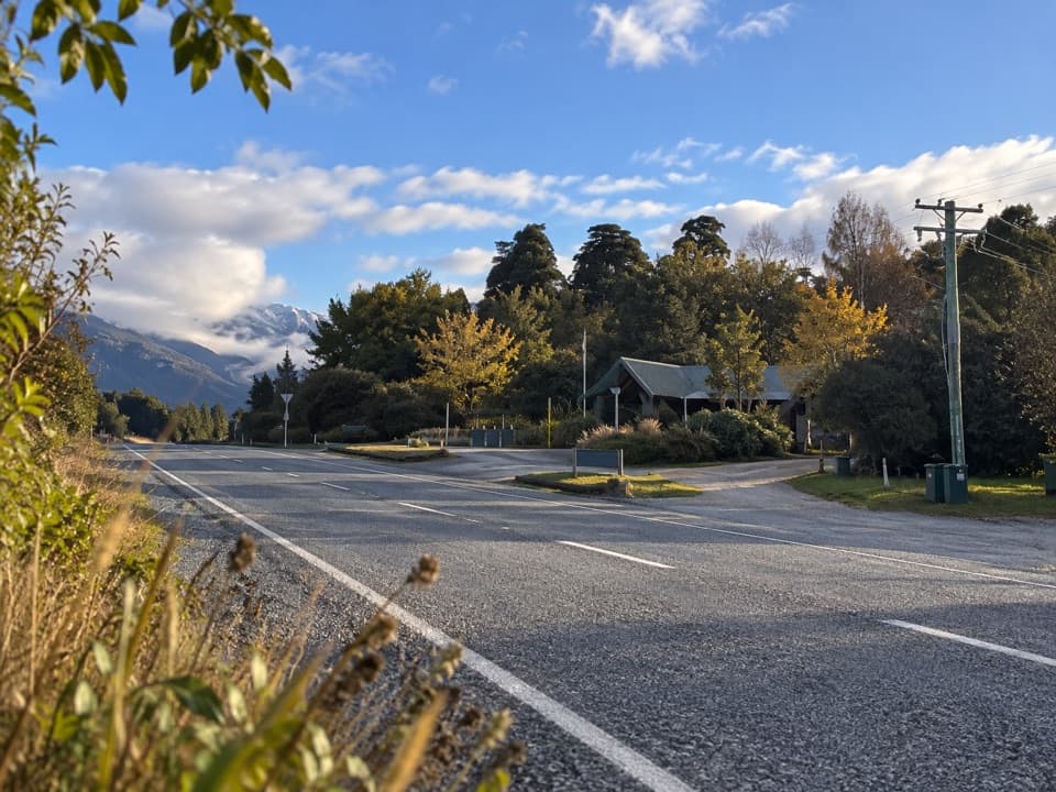
Siberia Hut has no road access or car park. Reach it by arranged fixed-wing flight or helicopter, or walk in on a longer route. Jet boats serve Kerin Forks; arrange transport in advance.
Queenstown-Lakes District, New Zealand, OT
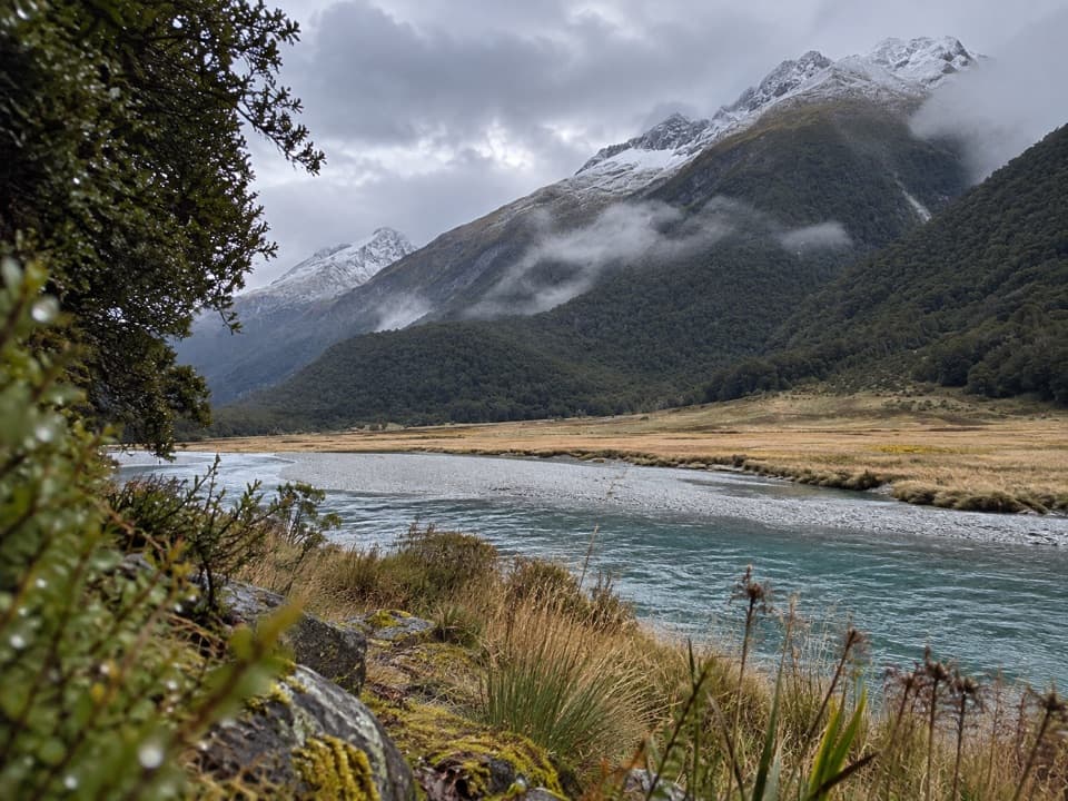
A remote valley walk above Siberia Gorge to the Wilkin River.
Overview
Map & elevation
Plan your hike

The highest, rockiest slopes around here are a summer buffet for grizzly bears.
Queenstown-Lakes District Tour Guide
Parkwolf is a GPS audio tour guide for Queenstown-Lakes District, New Zealand. As you drive, it chimes in with what’s ahead: hidden gems, upcoming stops, history, geology, and wildlife, right through your car’s speakers.
See the Queenstown-Lakes District audio tour“Fantastic app with many points of information… It’s great to just turn on while you’re driving and it gives you an audio tour of the national Park. We love it!!!!”


Trail guide
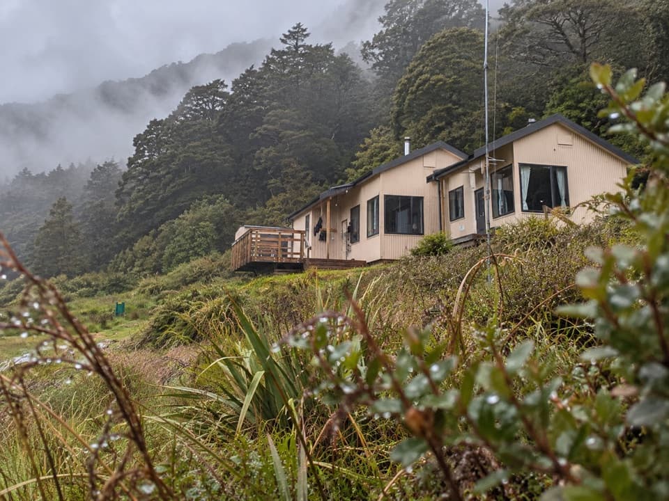
Siberia Valley Track is a 4.35-mile one-way point-to-point walk from Siberia Hut to the true-left bank of the Wilkin River at Kerin Forks. Allow two to three hours. It is a remote connecting leg in the Gillespie and Wilkin walking routes, not a loop or a road-side day hike, so plan both ends and your transport before setting out.
The track leaves the 20-bunk hut and enters forest at the south end of Siberia Flat after about 30 minutes. It then meanders above Siberia Gorge before a zigzag descent to the Wilkin. The track is rough in places. The gorge-side traverse is the walk's standout stretch; the last descent brings you to the river, not to a road or car park.
The track ends on the river's true-left bank. Kerin Forks Hut is about 400 m downstream on the opposite bank; reaching it requires crossing the Wilkin, which can become impassable after rain. The longer walk toward Makarora continues on the true left and does not require that crossing. Siberia Hut has no road access or parking: reach it by arranged flight or helicopter, or walk in on a longer route. Jet boats serve Kerin Forks; arrange transport in advance. Check current hut booking requirements before an overnight stay. Dogs and other domestic animals are not allowed in Mount Aspiring National Park.
Wildlife
 194 sightingsKeaMost seen around 5 PMSighting map
 18 sightingsKākāMost seen around 6 PMSighting map
 198 sightingsKererūMost seen around 10 AMSighting map
 53 sightingsWekaMost seen around 6 PMSighting map
 245 sightingsTūīMost seen around 8 AMSighting map
 98 sightingsBellbirdMost seen around 6 AMSighting map
Sighting maps show where each species has been reported across Queenstown-Lakes District. Wildlife moves, so no sighting is guaranteed.
Keep exploring
 ChallengingCrucible Lake Track14 km · 7 hr · At the trailheadA remote lake beneath Mount Alba, reached across three alpine streams.
 EasyMakarora Bush Walk0.6 km · 15 min · 13.9 km awayA quick shaded forest loop with a pit-saw display halfway round.
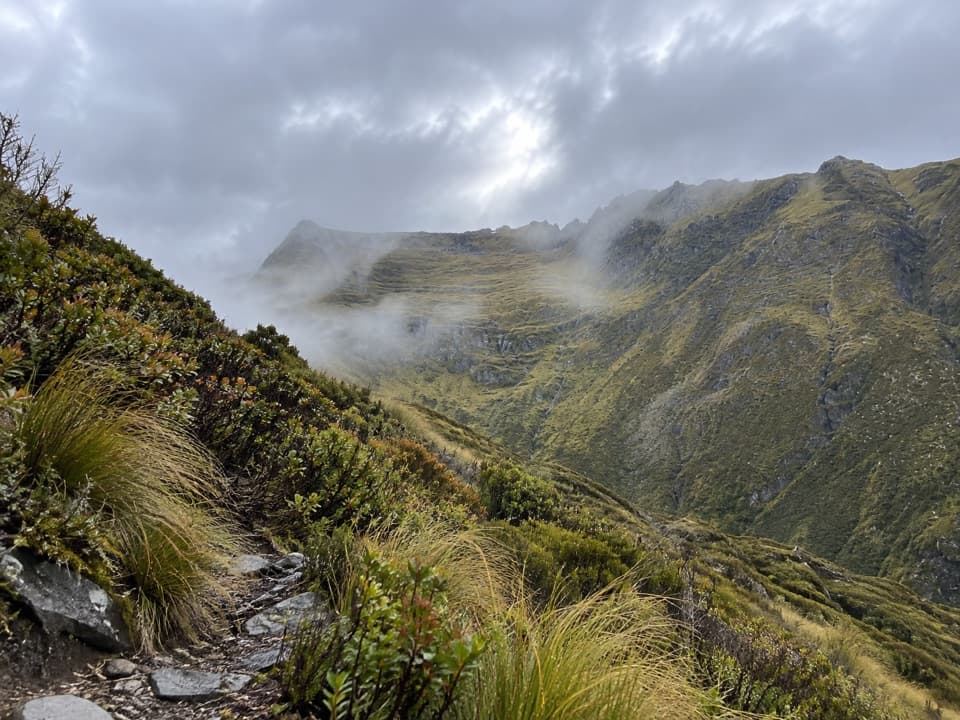 ChallengingMount Shrimpton Track6 km · 5 hr · 13.9 km awayA steep bush climb to a wide Makarora Valley view.
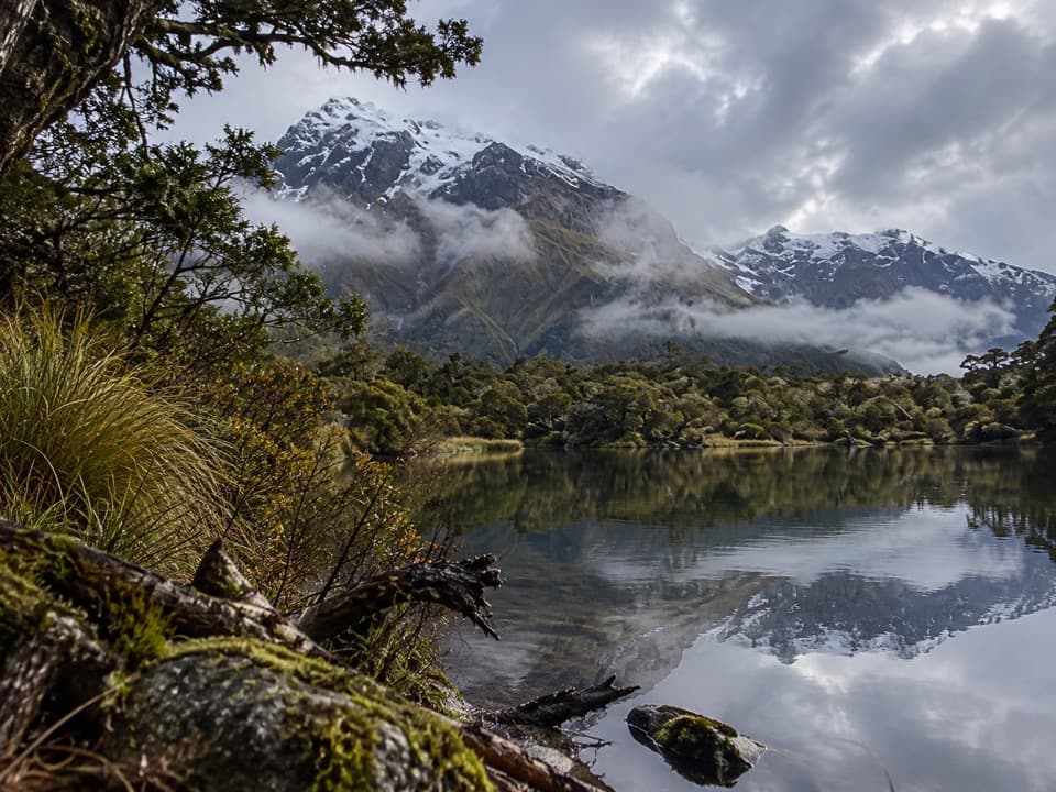 ChallengingNorth Branch Wilkin Valley Track16 km · 7 hr · 15.7 km awayA full day from the hut to three alpine lakes.
 EasyBlue Pools Track3 km · 1.3 hr · 18.6 km awayTwo swing bridges, clear water and a short walk through beech forest.
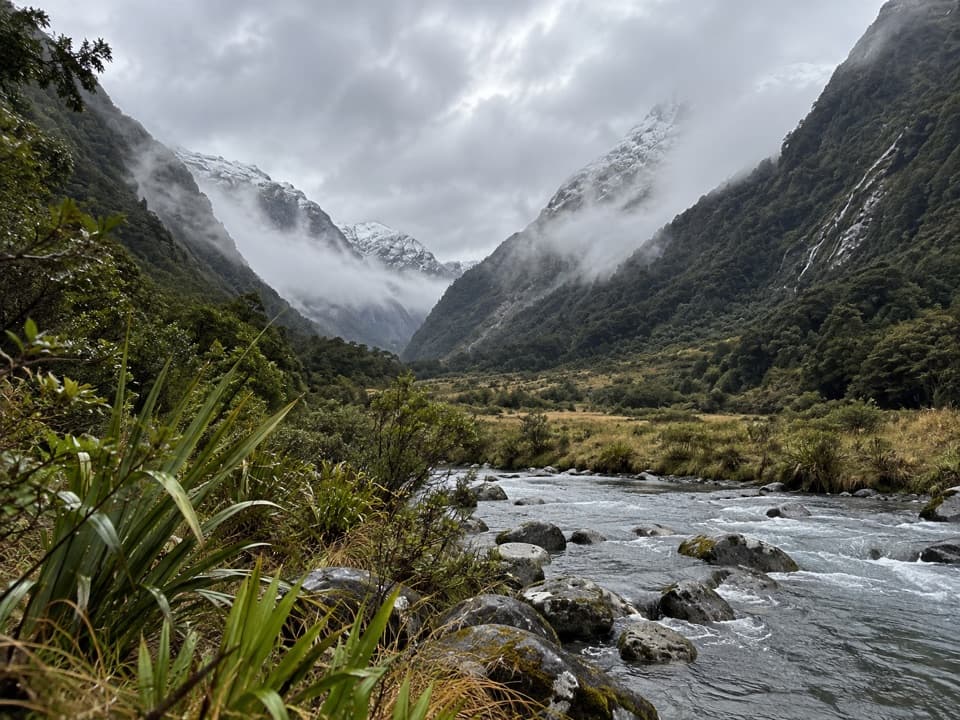 ChallengingBlue Valley Track32 km · 18 hr · 18.7 km awayA remote out-and-back through beech forest to Blue Valley's upper flats.
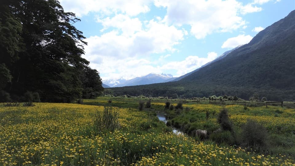 ModerateYoung River Link Track14 km · 3.5 hr · 18.7 km awayA longer return through beech forest and pasture to the Young River
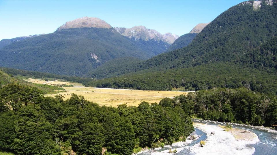 EasyCameron Lookout Walk1 km · 20 min · 19.9 km awayA short beech-forest climb to a platform above Cameron Creek.
Parkwolf’s Queenstown-Lakes District ranking

The audio tour guide for the drive, plus offline maps, trails, and wildlife heatmaps for when the signal drops.