Lime Kiln Trail No. 82 in Red Rock State Park

#9 of 12 trails in Red Rock

Red Rock State Park, AZ

Lime Kiln Trail No. 82

A historic wagon-road crossing with a surviving 1880s kiln.

Length
15.3mi
Time
6.5hr
Elev. change
804ft
Difficulty
Challenging
  • Dogs allowed
  • High point 4,121 ft

Hear the audio tour

Lime Kiln Trailhead

Overview

About Lime Kiln Trail No. 82

Why go

  • The surviving kiln explains why the old wagon road was built.
  • One route links two state parks across the high desert.

Heads up

  • 15.3 miles one way; the full route needs an end pickup.
  • Very little shade, with six miles open to motorized use.

Map & elevation

The route

Loading the Red Rock map
Full map
Elevation3,317–4,121 ft
TrailheadLime Kiln #82 USFS Trailhead at Red Rock Loop Road34.81925, -111.83645
Keep this map with you offline in the Parkwolf app

Plan your hike

Before you go

Parking

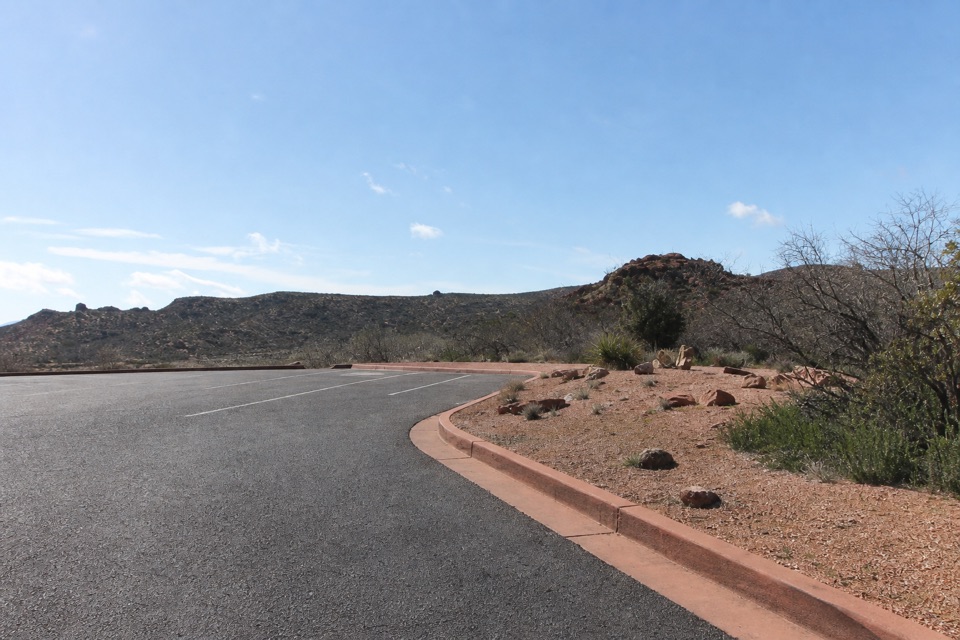
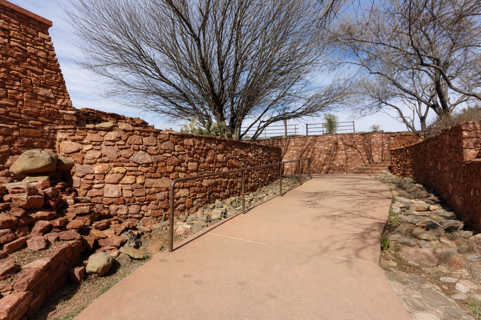
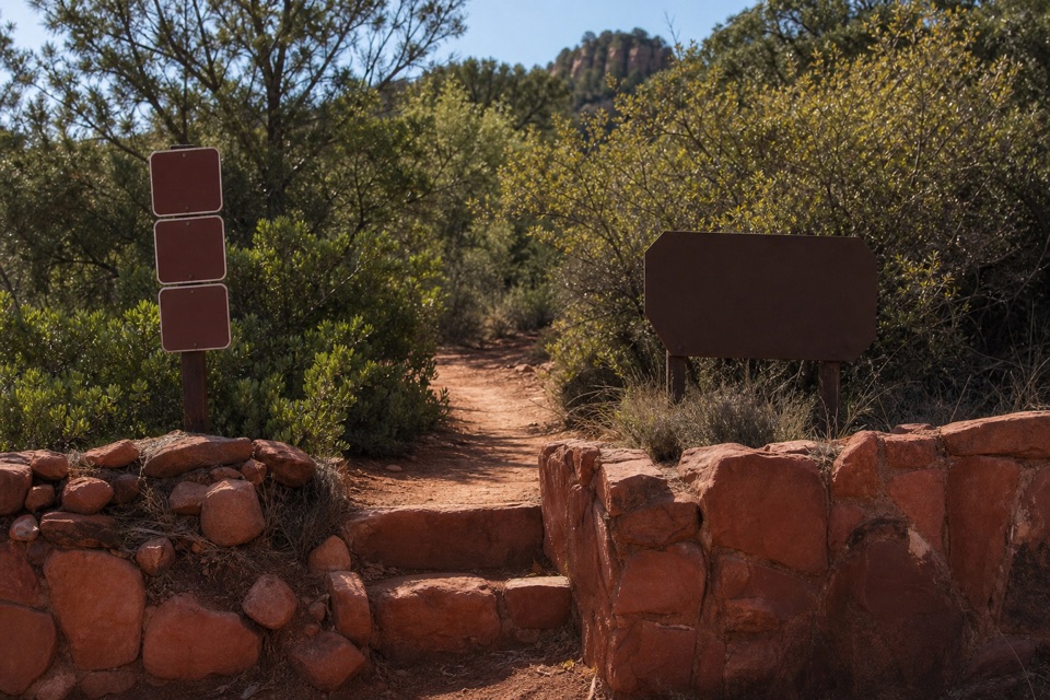
Start at the Lime Kiln #82 USFS access on Red Rock Loop Road, just north of Red Rock State Park’s gate. The official map marks the roadside trailhead but does not show a dedicated lot; parking at the crossing was not confirmed. This is point-to-point, so arrange lawful start parking and a pickup at Dead Horse Ranch before setting out.


Safety

Very little shade makes summer heat a serious factor. No water source is identified along the through-route, and six miles allow motorized use. The 15.3-mile route is one way.

A park ranger sits on a dash-mounted phone, talking, as Parkwolf’s Tour Guide plays “Army Cutworm Moths: A Grizzly Bear Buffet” on Grand Loop Road below Dunraven Pass in Yellowstone
Parkwolf Tour GuideThe highest, rockiest slopes around here are a summer buffet for grizzly bears.

Red Rock Tour Guide

Your drive to Lime Kiln Trail No. 82, narrated.

Parkwolf is a GPS audio tour guide for Red Rock State Park. As you drive, it chimes in with what’s ahead: hidden gems, upcoming stops, history, geology, and wildlife, right through your car’s speakers.

Recorded for this trailhead

Lime Kiln Trailhead
0:00 / 0:25
“Up ahead is the Lime Kiln trailhead, just outside the park gate. The route follows part of an old wagon road toward Cottonwood; farther along, an eighteen-eighties kiln once made lime mortar for local houses.”

Plays as you drive up to this trailhead in the Parkwolf Red Rock Tour Guide.

More stories near here in the app

  • Eagle's Nest and Apache Fire
  • Twin Cypress and Habicamp
  • Miller Visitor Center and Hummingbird Garden
  • 4 audio storiesacross Red Rock’s roads, triggered by GPS as you drive
  • Wildlife heatmapsfor Mule Deer, Gila Woodpecker, Clark's Spiny Lizard, and 10 more
  • Works offlinemaps, 12 trails, 11 places, and audio download before you lose signal
  • CarPlay readysimple controls built for the drive
★★★★★
“Fantastic app with many points of information… It’s great to just turn on while you’re driving and it gives you an audio tour of the national Park. We love it!!!!”
JMJamesApp Store review
Download Parkwolf on the App StoreGet Parkwolf on Google Play

4.7 from 8,600+ ratings

Trail guide

Hiking Lime Kiln Trail No. 82

A full day between the parksLime Kiln Trail No. 82 is a 15.

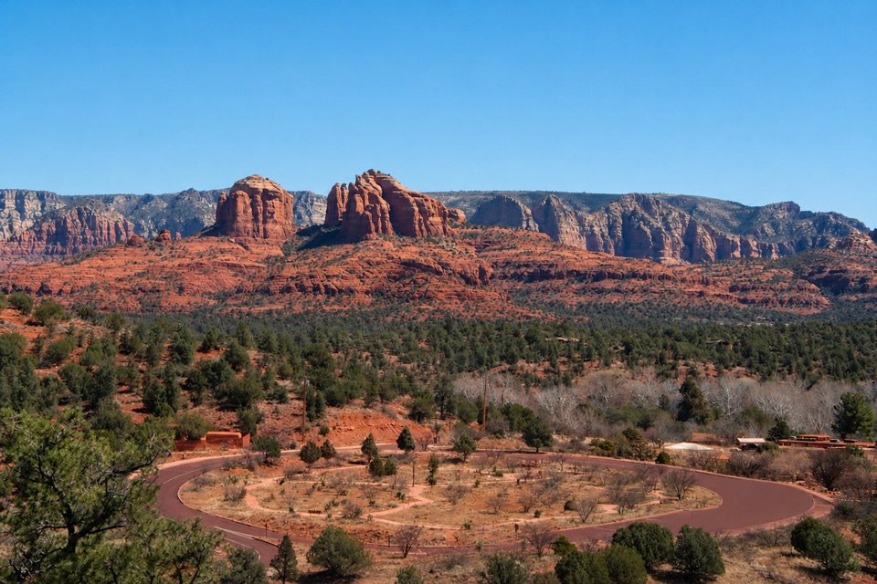
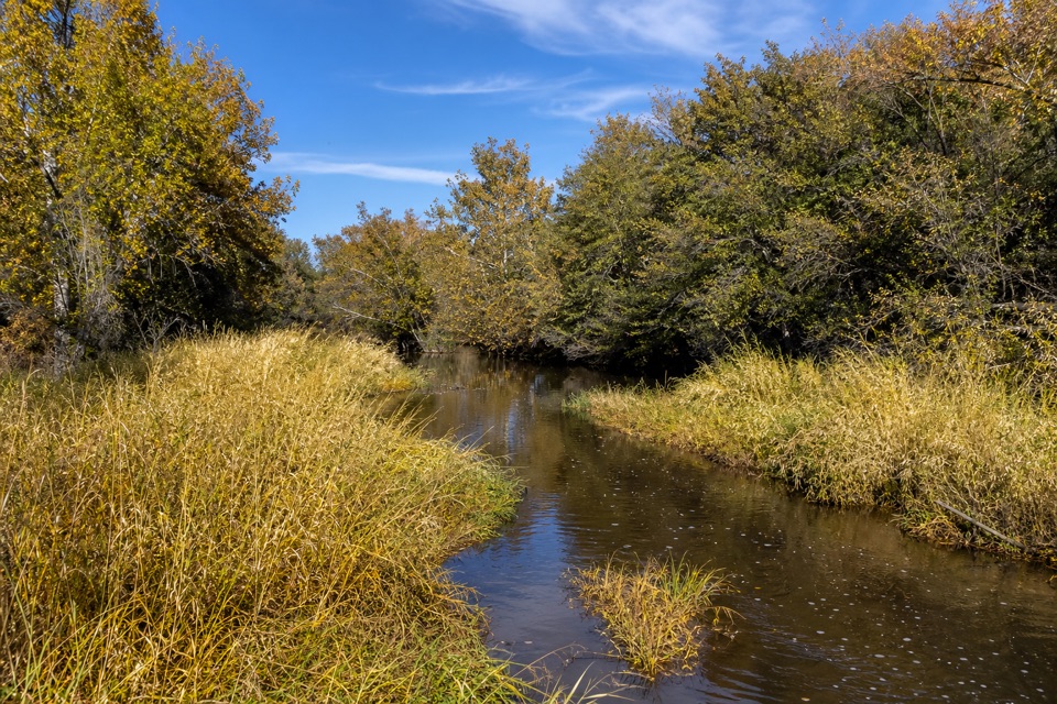
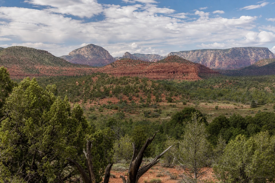
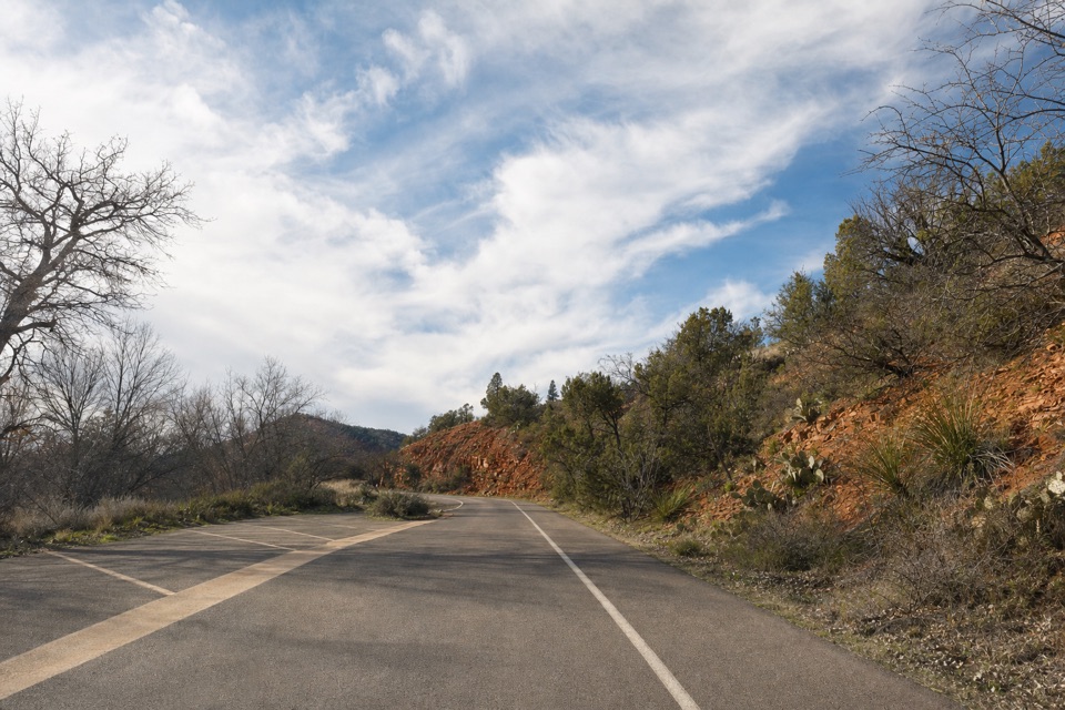
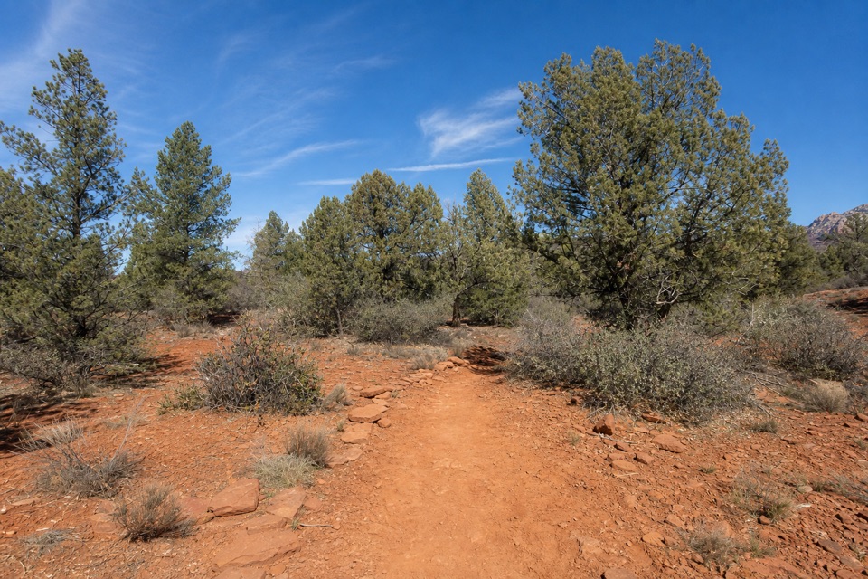
Lime Kiln Trail No. 82 is a 15.3-mile point-to-point walk from the USFS trailhead on Red Rock Loop Road, just north of Red Rock State Park’s gate, to Dead Horse Ranch State Park in Cottonwood. It crosses high desert and follows part of the old wagon road that served the lime kiln along the route. Coconino National Forest estimates 5–8 hours one way and rates it strenuous. Arrange a pickup at the far end; walking back makes this roughly a 30-mile day. For a shorter sample of the same corridor, Deer Pass gives a 5-mile out-and-back to the creek.

What fills the milesThis is a long crossing, not a climb to one summit.

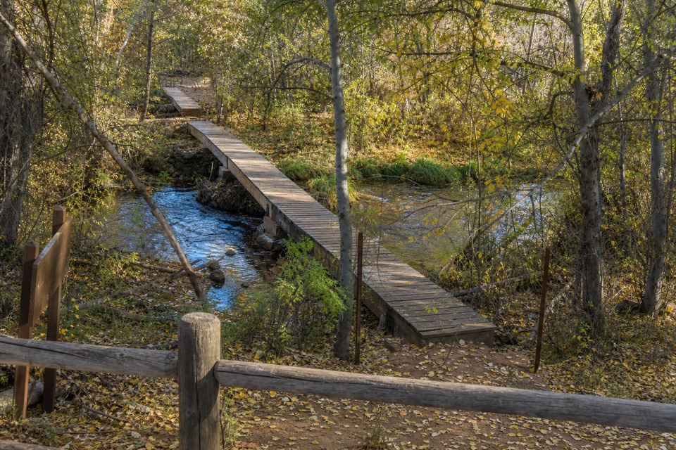
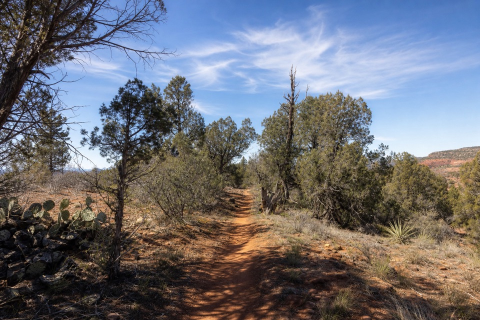
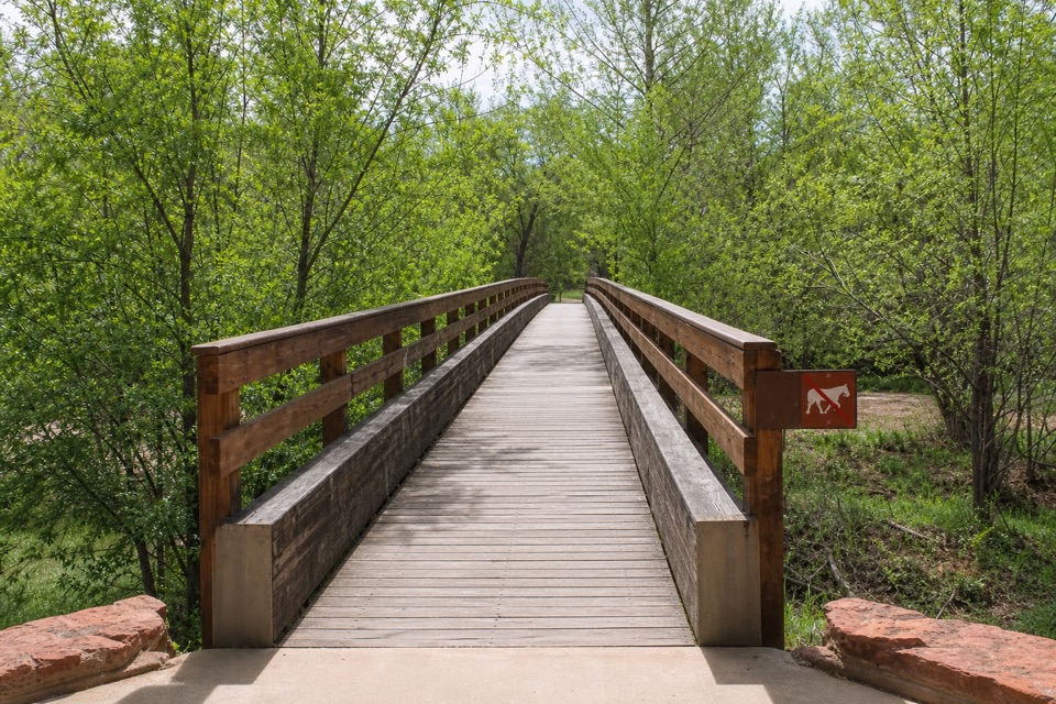
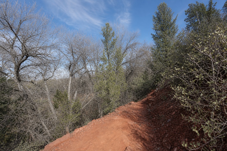
This is a long crossing, not a climb to one summit. The route moves between dirt path and road-like track. The Forest Service divides it into about nine nonmotorized miles and six miles open to motorized use, so expect some shared sections. Deer Pass is a useful intermediate access; its trailhead has restrooms but no water. I found no food or reliable water stop along the through-route.

The kiln and the wagon roadThe surviving lime kiln is the route’s standout historic stop.

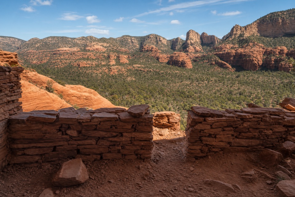
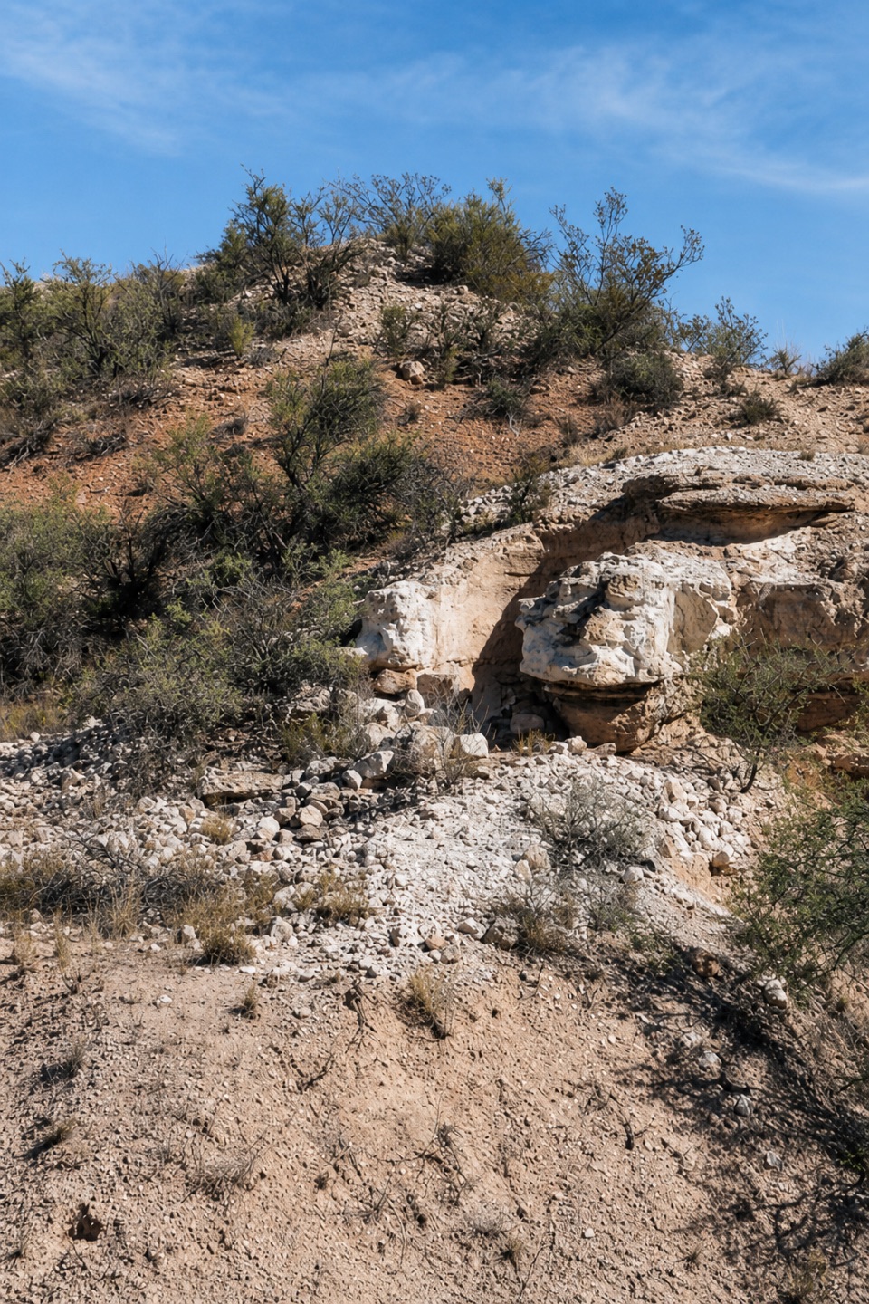
The surviving lime kiln is the route’s standout historic stop. Built in the mid-1880s, it burned limestone into lime mortar for the Willard and Strahan houses in Cottonwood. It was cut into a limestone ledge in the White Hills; about six feet of the kiln remains, though it once stood as high as 20 feet. The wagon road first carried lime to those building sites, then continued toward Oak Creek Road as the Lime Kiln Cut-Off, a favored shortcut before automobiles. The modern shared-use trail was completed in 2006. At the kiln, frame its dark opening inside the pale ledge so the built-in shape is clear.

Heat and accessThere’s very little shade, and the Forest Service warns that summer heat builds along the route.

There’s very little shade, and the Forest Service warns that summer heat builds along the route. No water source is identified along the through-hike. Leashed dogs are allowed on the Forest Service section, but pets aren’t allowed inside Red Rock State Park; this trail’s starting access is outside its gate. The official map marks the roadside trailhead, but I couldn’t verify a dedicated parking lot there. Confirm legal parking and your end pickup before setting out.
Wildlife

Wildlife in Red Rock

All Red Rock wildlife maps

Sighting maps show where each species has been reported across Red Rock. Wildlife moves, so no sighting is guaranteed.

Keep exploring

Near Lime Kiln Trail No. 82

See it all on the map

Trails that start nearby

Places near the trailhead

Parkwolf’s Red Rock ranking

Top-rated trails in Red Rock

All 12 trails
  1. 1Eagle's Nest LoopModerate · 1.6 mi
  2. 2Apache Fire LoopEasy · 1 mi
  3. 3Kisva TrailEasy · 0.6 mi
  4. 4Baldwin Trail No. 191Easy · 2.1 mi
  5. 5Smoke TrailEasy · 0.4 mi
  6. 6Javelina TrailEasy · 0.7 mi

Take Parkwolf to Red Rock.

The audio tour guide for the drive, plus offline maps, trails, and wildlife heatmaps for when the signal drops.

4.7 from 8,600+ ratings

Download Parkwolf on the App StoreGet Parkwolf on Google Play