Flint Ridge Backcountry Camp in Redwood National Park

Campground · Redwood National Park

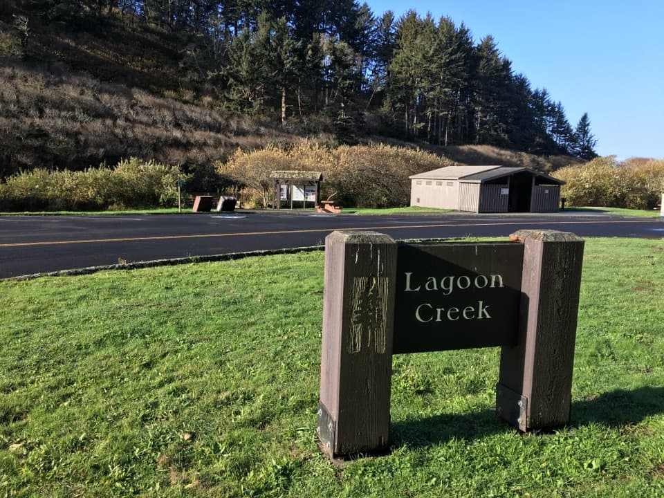
Flint Ridge Backcountry Camp

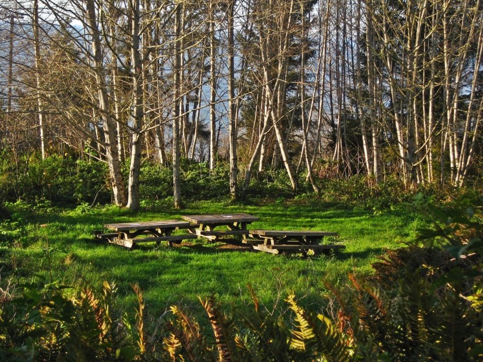
An easy walk-in camp with a World War II secret nearby.

Photo: National Park Service
Type
Campground
Nearest trail
0.3 mi
Audio stories
7 nearby
  • Trailhead
  • Parking
  • Restrooms

Hear the audio tour

World War II Radar Station B-71

Overview

About Flint Ridge Backcountry Camp

Why stop

  • The west approach is only a quarter-mile walk.
  • Every site has a table, fire ring, and food locker.

Heads up

  • No reliable drinking water nearby; pack it all in.
  • Alder and shrubs screen much of the ocean view.

Map

Where it is

Loading the Redwood map
Full map
CampgroundFlint Ridge Backcountry Camp41.52502, -124.07828
Keep this map with you offline in the Parkwolf app

Plan your stop

Before you go

6 active Redwood alerts

  • CautionU.S. 101 construction traffic controlsExpect construction-related traffic stops and one-way controlled traffic on U.S. 101; allow extra time and drive cautiously. - NPS reports multiple stops between Orick and Crescent City; delays vary.Official details
  • CautionU.S. 199 construction traffic controlsExpect 24/7 one-way controlled traffic on three U.S. 199 segments because of construction. - 6–6.2 miles north of Gasquet: through 6:00 p.m. December 15, 2026; delays up to 10 minutes. - 9.6–9.Official details

See all 6 alerts
A park ranger sits on a dash-mounted phone, talking, as Parkwolf’s Tour Guide plays “Army Cutworm Moths: A Grizzly Bear Buffet” on Grand Loop Road below Dunraven Pass in Yellowstone
Parkwolf Tour GuideThe highest, rockiest slopes around here are a summer buffet for grizzly bears.

Redwood Tour Guide

Your drive to Flint Ridge Backcountry Camp, narrated.

Parkwolf is a GPS audio tour guide for Redwood National Park. As you drive, it chimes in with what’s ahead: hidden gems, upcoming stops, history, geology, and wildlife, right through your car’s speakers.

See the Redwood audio tour

Recorded for this area

World War II Radar Station B-71
0:00 / 0:27
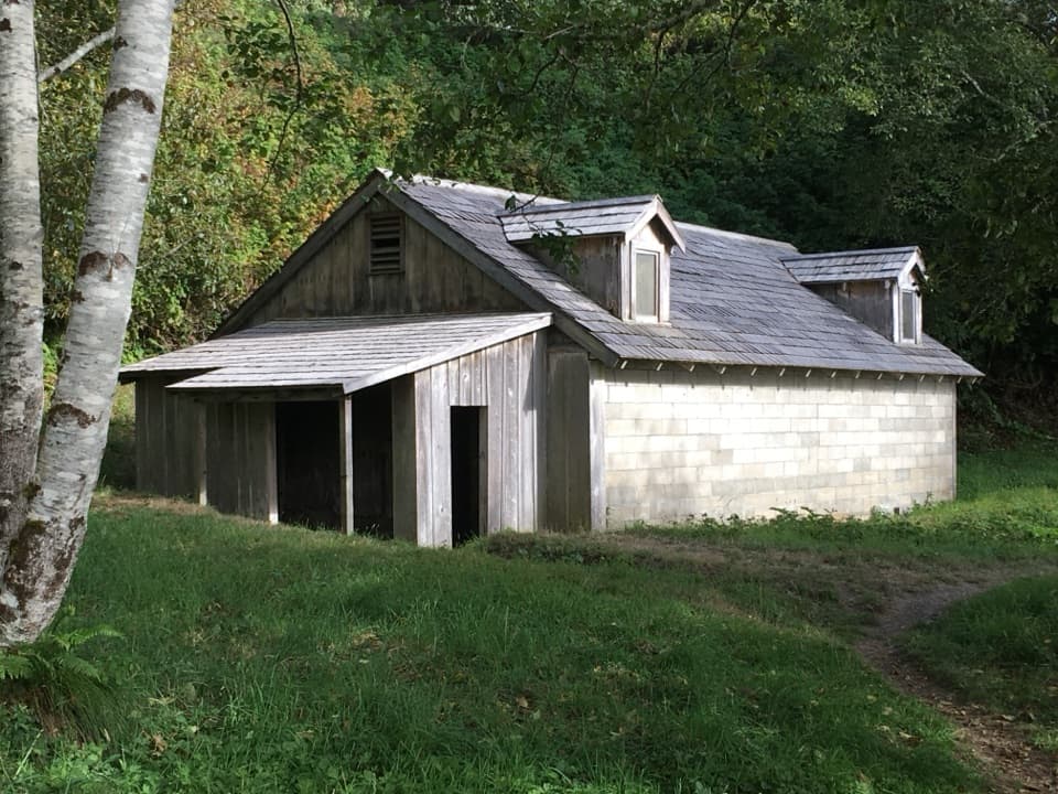
“You're approaching World War Two Radar Station B seventy-one, a military post built to look like a farmhouse and barn. Look closely at the fake windows and dormers: the farm shapes disguise concrete-block buildings.”

Plays on the road 0.3 mi from Flint Ridge Backcountry Camp in the Parkwolf Redwood Tour Guide.

More stories near here in the app

  • When the Klamath Took the Bridge
  • High Bluff Overlook
  • Why Crews Pull Beachgrass
  • Flint Ridge East Trailhead
  • 85 audio storiesacross Redwood’s roads, triggered by GPS as you drive
  • Wildlife heatmapsfor Black Bear, Elk, California Condor, and 13 more
  • Works offlinemaps, 83 trails, 48 places, and audio download before you lose signal
  • CarPlay readysimple controls built for the drive
★★★★★
“Fantastic app with many points of information… It’s great to just turn on while you’re driving and it gives you an audio tour of the national Park. We love it!!!!”
JMJamesApp Store review
Download Parkwolf on the App StoreGet Parkwolf on Google Play

4.7 from 8,600+ ratings

Guide

More about Flint Ridge Backcountry Camp

An easy backcountry overnightFlint Ridge Backcountry Camp is an eight-site, walk-in campground on a wooded ridge near the…

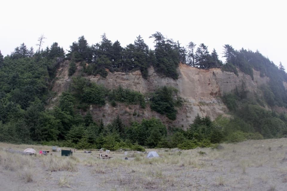
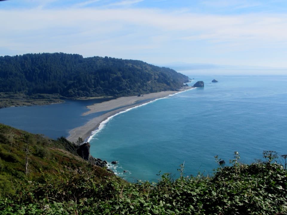
Flint Ridge Backcountry Camp is an eight-site, walk-in campground on a wooded ridge near the Pacific, south of the Klamath River mouth. Its short west approach—just a quarter mile from the trailhead on Coastal Drive—makes it a practical choice if you want an overnight in the backcountry without a long hike. An overnight permit is required, and the camp is reached on foot; check current conditions before you commit.

Bring everything you needEach site has a picnic table, fire ring, and food locker, with one composting pit toilet…

Each site has a picnic table, fire ring, and food locker, with one composting pit toilet serving the camp. There is no treated water or reliable natural source close by, so pack in drinking water and carry out your trash. Use only the provided fire rings and follow any current fire restrictions. Pets, except service animals, are not allowed on the trail or at camp.

Choose your approachThe easier west approach is a quarter-mile walk from the Coastal Trail–Flint Ridge Section…

The easier west approach is a quarter-mile walk from the Coastal Trail–Flint Ridge Section trailhead on Coastal Drive. The east route from Alder Camp Road is 4.5 miles and includes a strenuous 800-foot climb. You can bring a bicycle from Coastal Drive, but you must walk it on the Flint Ridge section. At the trailhead, keep valuables out of sight in your vehicle.

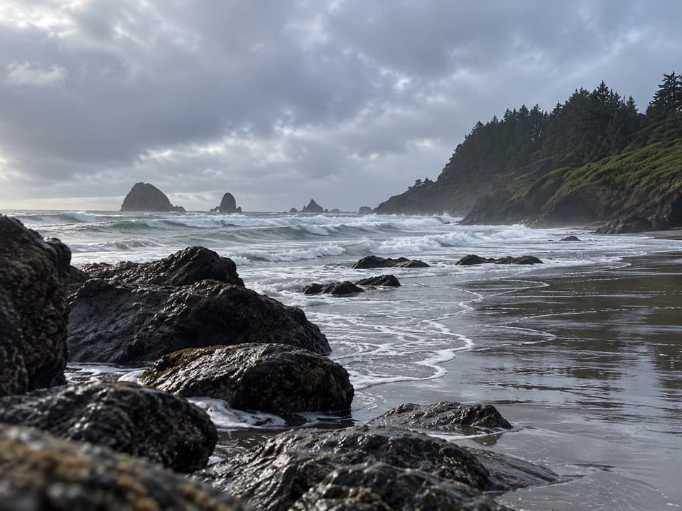
A coastal camp, not an ocean overlookThe sites sit among alder and shrubs on a sunny ridge.

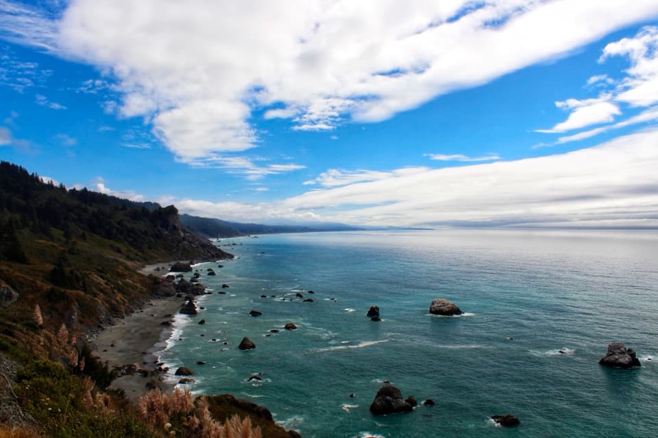
The sites sit among alder and shrubs on a sunny ridge. Surf can be heard, but vegetation screens much of the ocean view, so choose this camp for the wooded coastal setting and easy walk-in, not for an open panorama.

A radar station in disguiseAbout half a mile south, Radar Station B-71 is a worthwhile history stop.

About half a mile south, Radar Station B-71 is a worthwhile history stop. Its wartime buildings were dressed to look like a farm, with false siding, windows, and farmhouse and barn shapes. Roughly 35 Army Air Corps personnel operated the station; in 1944 it shifted from radar warning to air-sea rescue.

Wildlife

Wildlife in Redwood

All Redwood wildlife maps

Sighting maps show where each species has been reported across Redwood. Wildlife moves, so no sighting is guaranteed.

Keep exploring

Near Flint Ridge Backcountry Camp

See it all on the map

Trails nearby

More stops nearby

Parkwolf’s Redwood ranking

Top sights in Redwood

All 48 places
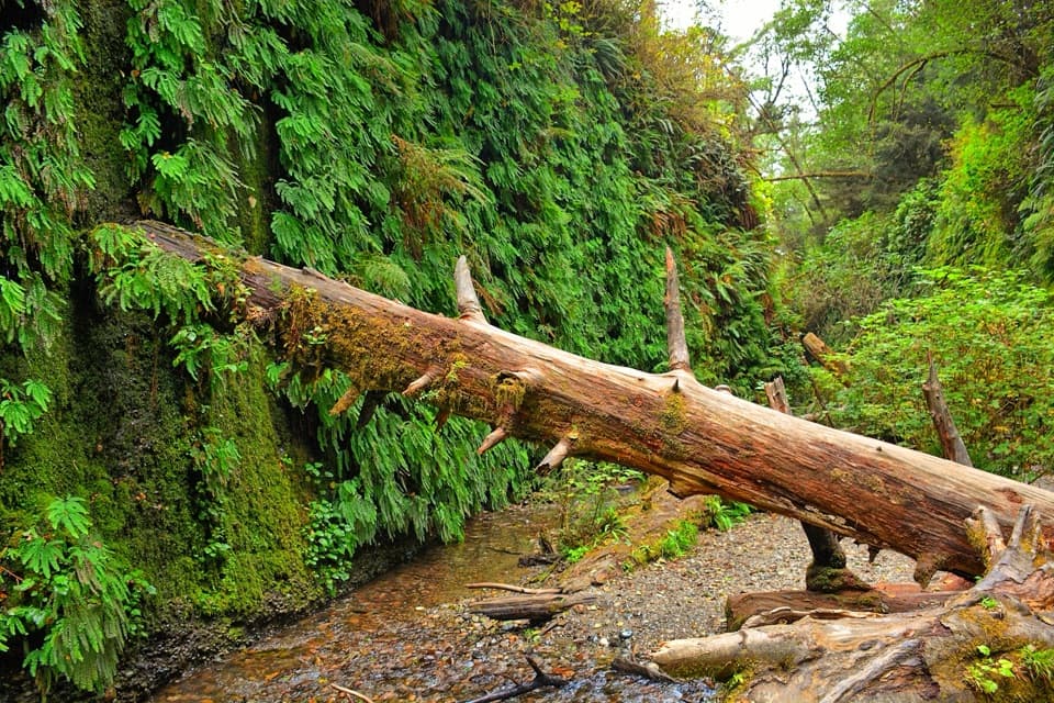
  1. 1Fern CanyonSight
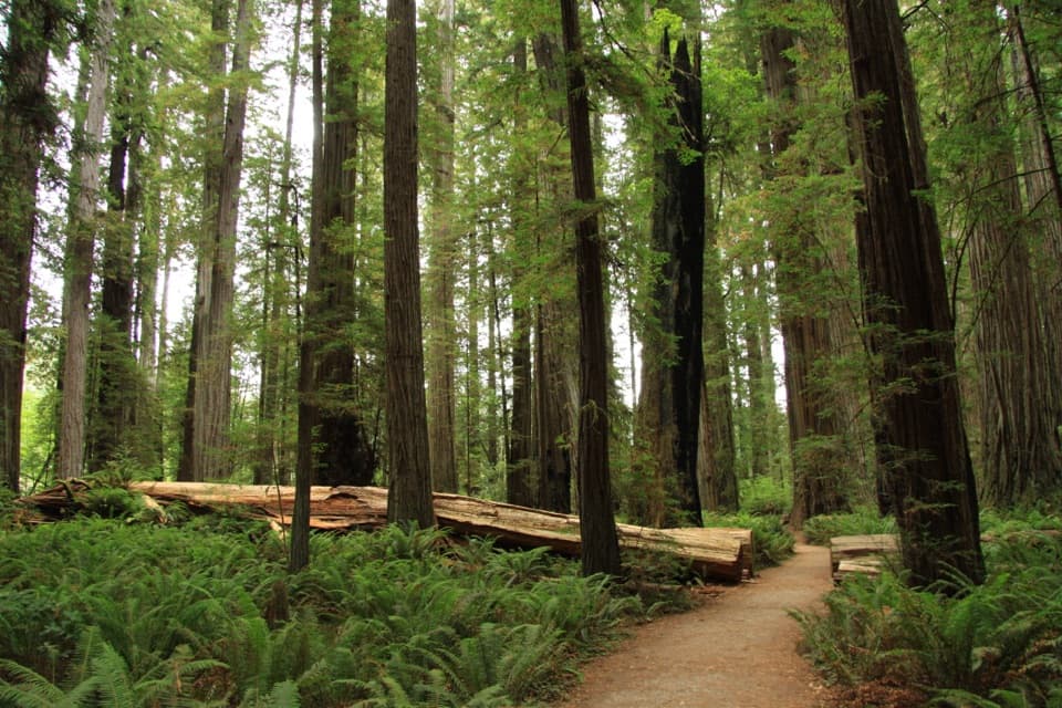
  2. 2Stout Memorial GroveSight
  3. 3Big Tree WaysideSight
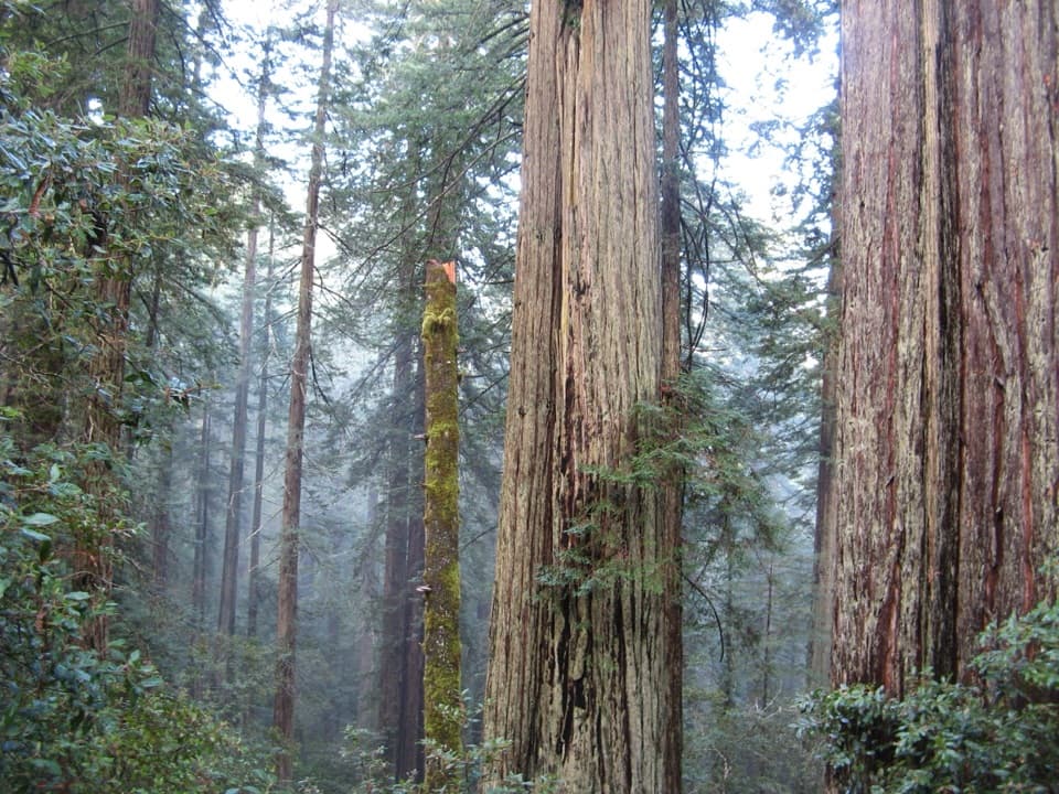
  4. 4Lady Bird Johnson GroveSight
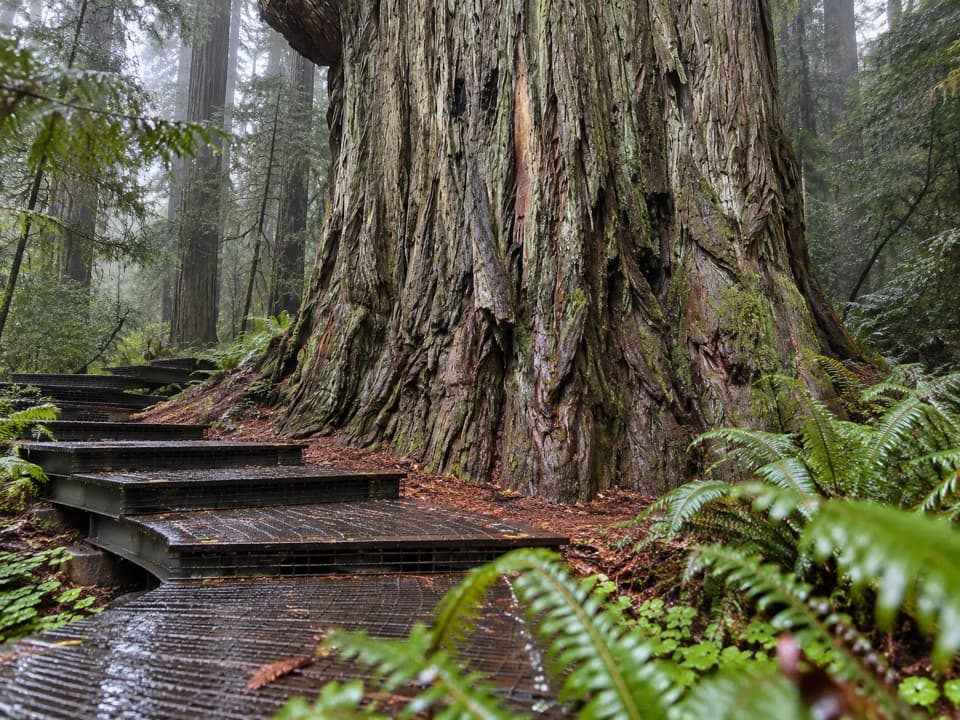
  5. 5Grove of TitansSight
  6. 6Tall Trees GroveSight

Take Parkwolf to Redwood.

The audio tour guide for the drive, plus offline maps, trails, and wildlife heatmaps for when the signal drops.

4.7 from 8,600+ ratings

Download Parkwolf on the App StoreGet Parkwolf on Google Play