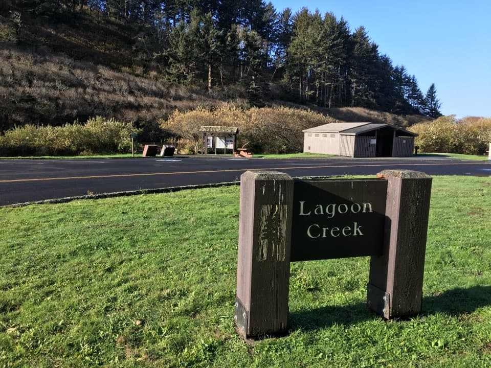
Lagoon Creek Day Use Area in Redwood National Park

Picnic area · Redwood National Park

Lagoon Creek Day Use Area

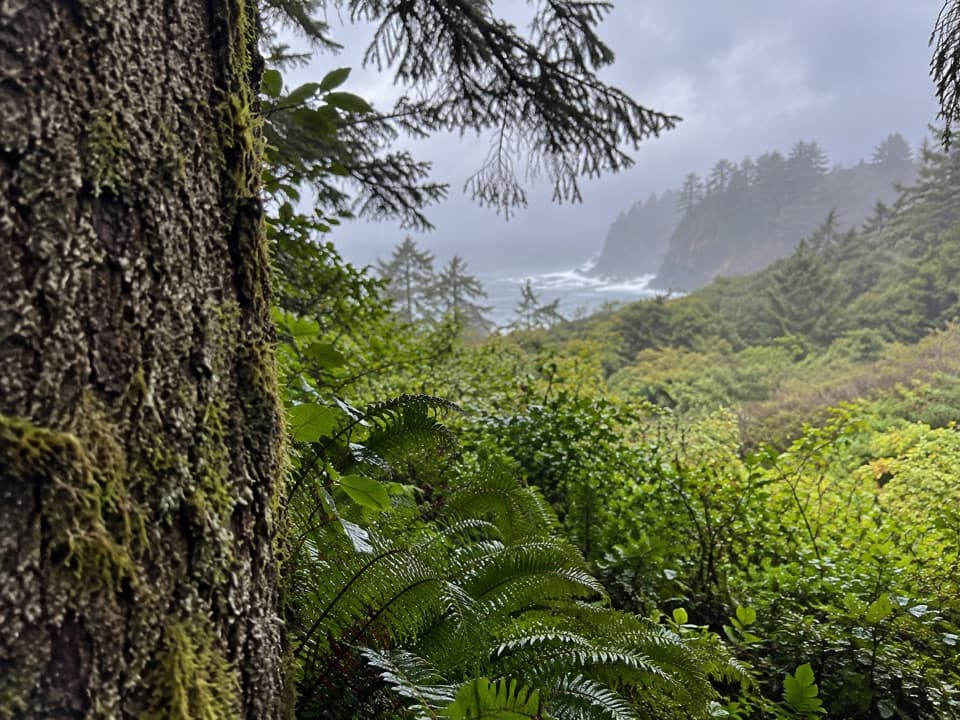
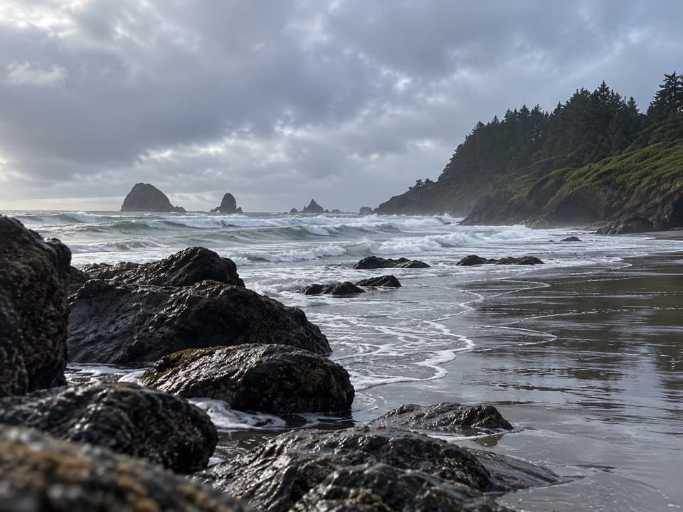
A pond-side pause with a short trail to sea-stack views.

Photo: National Park Service
Type
Picnic area
Nearest trail
0.7 mi
Audio stories
3 nearby
  • Parking
  • Picnic tables
  • Restrooms
  • Trailhead

Hear the audio tour

Lagoon Creek and Hidden Beach

Overview

About Lagoon Creek Day Use Area

Why stop

  • A one-mile loop makes the stop worthwhile for a quick coastal walk.

Heads up

  • US 101 noise interrupts the quiet beside the pond.

Map

Where it is

Loading the Redwood map
Full map
Picnic areaLagoon Creek Day Use Area41.59335, -124.10277
Keep this map with you offline in the Parkwolf app

Plan your stop

Before you go

6 active Redwood alerts

  • CautionU.S. 101 construction traffic controlsExpect construction-related traffic stops and one-way controlled traffic on U.S. 101; allow extra time and drive cautiously. - NPS reports multiple stops between Orick and Crescent City; delays vary.Official details
  • CautionU.S. 199 construction traffic controlsExpect 24/7 one-way controlled traffic on three U.S. 199 segments because of construction. - 6–6.2 miles north of Gasquet: through 6:00 p.m. December 15, 2026; delays up to 10 minutes. - 9.6–9.Official details

See all 6 alerts
A park ranger sits on a dash-mounted phone, talking, as Parkwolf’s Tour Guide plays “Army Cutworm Moths: A Grizzly Bear Buffet” on Grand Loop Road below Dunraven Pass in Yellowstone
Parkwolf Tour GuideThe highest, rockiest slopes around here are a summer buffet for grizzly bears.

Redwood Tour Guide

Your drive to Lagoon Creek Day Use Area, narrated.

Parkwolf is a GPS audio tour guide for Redwood National Park. As you drive, it chimes in with what’s ahead: hidden gems, upcoming stops, history, geology, and wildlife, right through your car’s speakers.

See the Redwood audio tour

Recorded for this place

Lagoon Creek and Hidden Beach
0:00 / 0:30
“You're approaching Lagoon Creek, the starting point for a walk to Hidden Beach.”

Plays as you drive up to Lagoon Creek Day Use Area in the Parkwolf Redwood Tour Guide.

More stories near here in the app

  • Wilson Creek and the DeMartin Coastal Trail
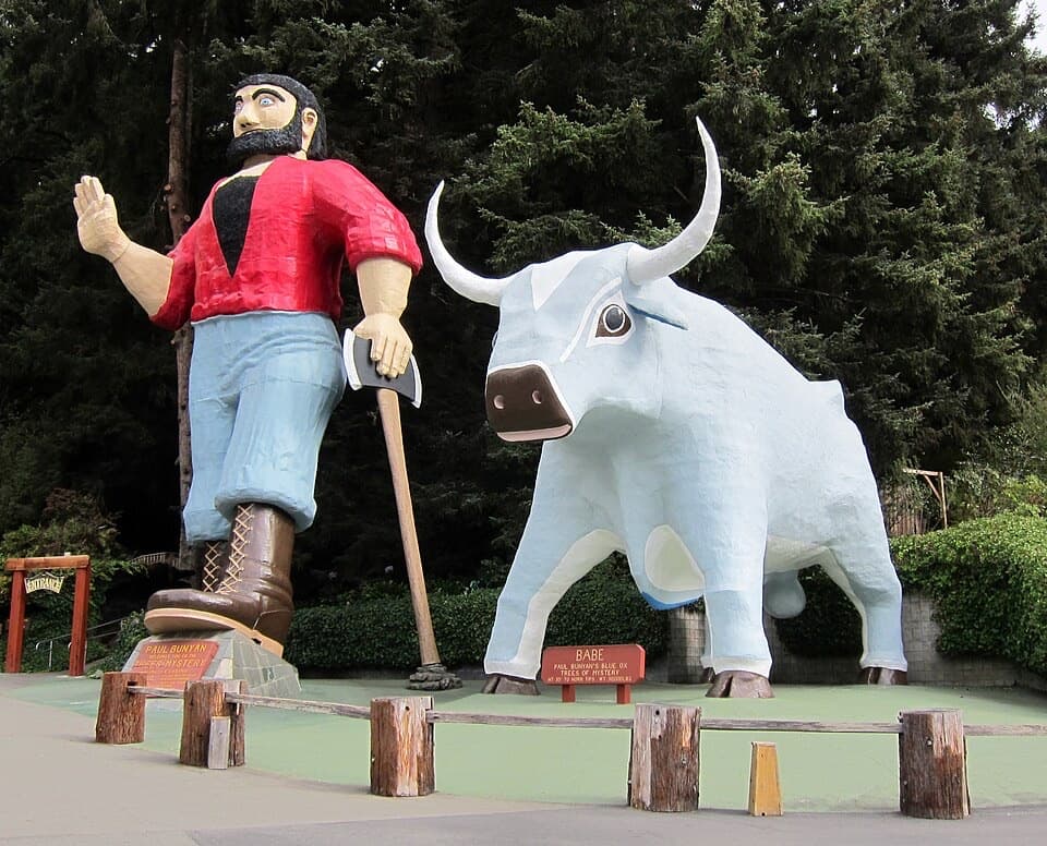
  • Trees of Mystery
  • Ocean Floor Beneath the Forest
  • How a Sea Star Eats a Mussel
  • 85 audio storiesacross Redwood’s roads, triggered by GPS as you drive
  • Wildlife heatmapsfor Black Bear, Elk, California Condor, and 13 more
  • Works offlinemaps, 83 trails, 48 places, and audio download before you lose signal
  • CarPlay readysimple controls built for the drive
★★★★★
“Fantastic app with many points of information… It’s great to just turn on while you’re driving and it gives you an audio tour of the national Park. We love it!!!!”
JMJamesApp Store review
Download Parkwolf on the App StoreGet Parkwolf on Google Play

4.7 from 8,600+ ratings

Guide

More about Lagoon Creek Day Use Area

A useful road breakLagoon Creek is a pond-side picnic area just off US 101 between Crescent City and Klamath.

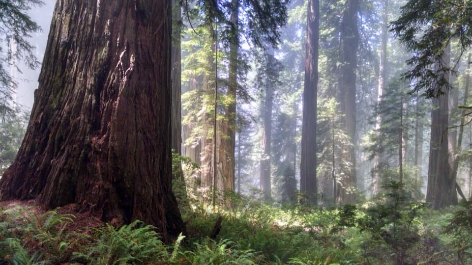
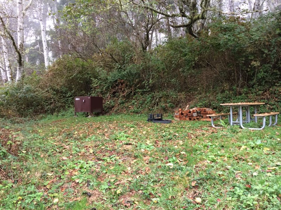
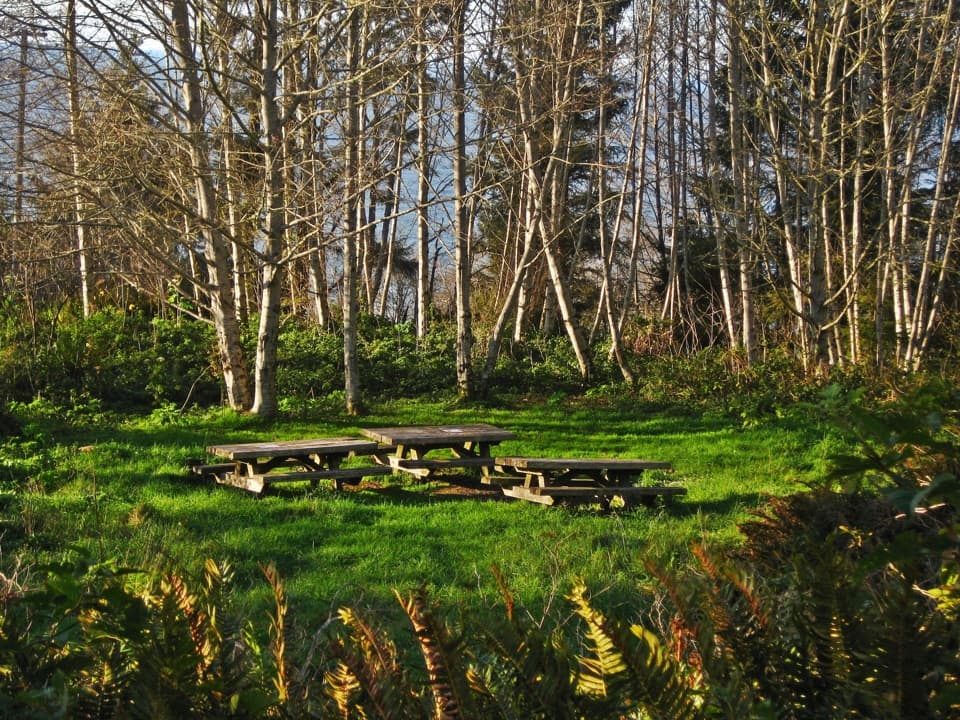
Lagoon Creek is a pond-side picnic area just off US 101 between Crescent City and Klamath. The large lot, tables, restroom and wooden viewing deck make it a simple place to stretch or eat. It isn't a redwood grove, and the highway is close enough that you'll hear traffic. I'd stop for the pond or a quick coastal walk; if redwoods are your goal, keep going.

Walk out toward the coastThe Yurok Loop starts at the ocean-facing west end of the lot.

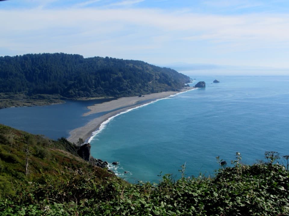
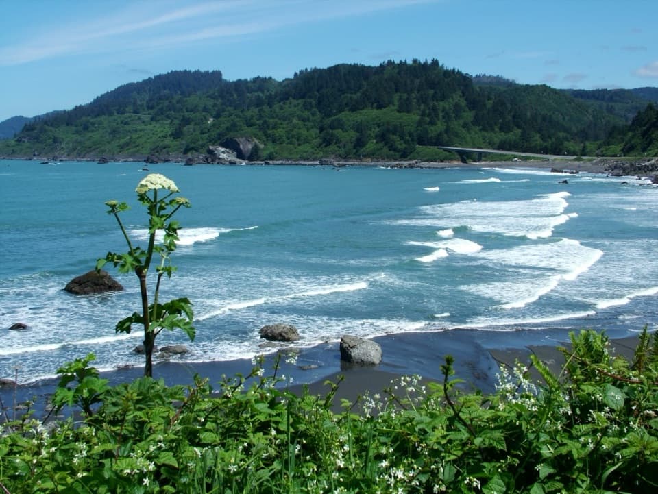
The Yurok Loop starts at the ocean-facing west end of the lot. After about ten minutes on its unpaved trail, you reach views of offshore sea stacks; the whole loop is about one mile and also looks north toward False Klamath Cove. That short walk is the main reason to get out of the car, even if you don't have time for a longer outing.

Pond and wildlifeA wooden viewing deck extends over part of the pond, where you might spot herons.

A wooden viewing deck extends over part of the pond, where you might spot herons. From the loop, look west to the sea stacks: the rocky islands are home to millions of common murres and other seabirds. The trail also passes through Sitka spruce and Douglas-fir woods, wildflowers and coastal habitat rather than redwoods.

A logging-era stopInterpretive signs explain how the area was used during the 19th- and 20th-century logging era.

Interpretive signs explain how the area was used during the 19th- and 20th-century logging era. Take a minute at the panel while you're by the lot; it's a short layer of local history that fits naturally into a picnic stop.

What to know before you goParking accommodates cars, buses and RVs, and there are picnic tables and accessible flush…

Parking accommodates cars, buses and RVs, and there are picnic tables and accessible flush restrooms. The Yurok Loop is unpaved, and its accessibility isn't specified. Bring your own food and drinking water if you plan to stay; food service and potable water aren't listed here. Dogs aren't allowed on park trails.

Wildlife

Wildlife in Redwood

All Redwood wildlife maps

Sighting maps show where each species has been reported across Redwood. Wildlife moves, so no sighting is guaranteed.

Parkwolf’s Redwood ranking

Top sights in Redwood

All 48 places
  1. 1Fern CanyonSight
  2. 2Stout Memorial GroveSight
  3. 3Big Tree WaysideSight
  4. 4Lady Bird Johnson GroveSight
  5. 5Grove of TitansSight
  6. 6Tall Trees GroveSight

Take Parkwolf to Redwood.

The audio tour guide for the drive, plus offline maps, trails, and wildlife heatmaps for when the signal drops.

4.7 from 8,600+ ratings

Download Parkwolf on the App StoreGet Parkwolf on Google Play