Parking
Start at the marked Wilson Creek Picnic Area trailhead off US 101; finish at the marked Klamath River Overlook trailhead on Requa Road. This is a one-way route, so arrange a ride or leave a vehicle at the far end.
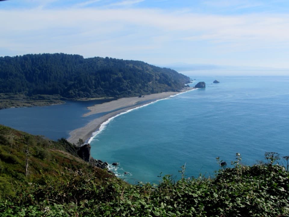
Redwood National Park, CA
A steep coastal traverse to river-mouth views and a tidepool beach.
Overview
Map & elevation
Plan your hike

The highest, rockiest slopes around here are a summer buffet for grizzly bears.
Redwood Tour Guide
Parkwolf is a GPS audio tour guide for Redwood National Park. As you drive, it chimes in with what’s ahead: hidden gems, upcoming stops, history, geology, and wildlife, right through your car’s speakers.
See the Redwood audio tourRecorded for this trailhead
Wilson Creek and the DeMartin Coastal Trail“Wilson Creek is coming up, with access to the DeMartin section of the Coastal Trail. Choose this for old-growth forest opening onto grassy hillsides and ocean views, with steep grades and switchbacks along the way.”
Plays as you drive up to this trailhead in the Parkwolf Redwood Tour Guide.
More stories near here in the app
“Fantastic app with many points of information… It’s great to just turn on while you’re driving and it gives you an audio tour of the national Park. We love it!!!!”


Trail guide
This is a point-to-point coastal hike from Wilson Creek Picnic Area to Klamath River Overlook on Requa Road. The mapped through-route measures about 4.4 miles one way. NPS lists the section at 5.5 miles and describes a return spur to Hidden Beach; that detour may explain the higher figure, but the published mileage convention is not explicit. Allow roughly 3–4 hours, longer if you take the beach spur and explore at low tide. The sampled profile suggests about 1,000 feet of cumulative climbing.
The marked trailheads are at separate ends, so arrange a ride or leave a vehicle at the destination. NPS calls the trail moderate but notes narrow tread, very steep grades and switchbacks. Dogs are not allowed on park trails. This is a spruce-and-alder coast walk, not a redwood-grove hike.
About two miles south from Wilson Creek and False Klamath Cove, a short branch descends to Hidden Beach and its tidepools. Return to the Coastal Trail to continue south; check tide times before going down to the shore. The beach is a worthwhile change of pace, but it adds distance to the through-hike.
Most of the route stays among Sitka spruce and red alder. The trail continually rises and dips, and a long middle stretch has only brief ocean glimpses. Brambles and ferns crowd parts of the old roadbed, while surf carries up from the rocky coast below.
Near the south end, the path climbs past large old-growth spruce and a stand of white-barked alder to a fenced viewpoint. The final half-mile crosses an open, grassy hillside with rough tread and broad ocean views. From Klamath River Overlook, look toward the river mouth and offshore sea stacks; NPS names common murres, cormorants and pigeon guillemots among the seabirds seen there.
Wildlife
 256 sightingsBlack BearMost seen around 7 PMSighting map
 2,389 sightingsElkMost seen around 6 PMSighting map
 62 sightingsCalifornia CondorMost seen around 1 PMSighting map
 60 sightingsCalifornia Sea LionMost seen around 11 AMSighting map
 216 sightingsHarbor SealMost seen around 10 AMSighting map
 13 sightingsMountain LionMost seen around 7 PMSighting map
Sighting maps show where each species has been reported across Redwood. Wildlife moves, so no sighting is guaranteed.
Keep exploring
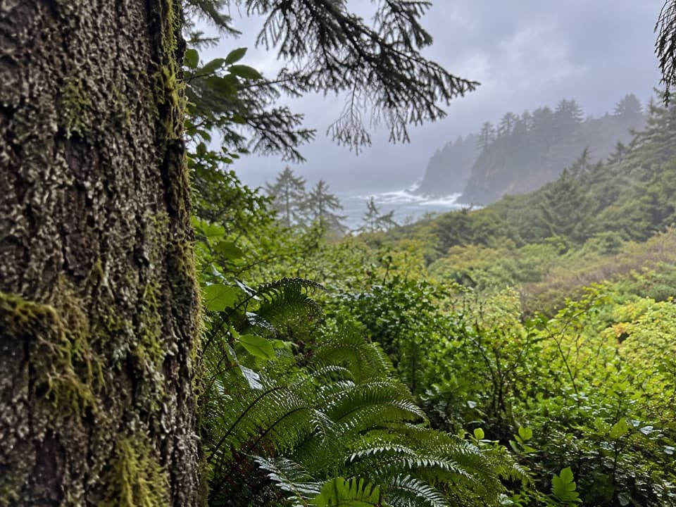 ModerateCoastal Trail: DeMartin Section6 mi · 3.5 hr · At the trailheadA six-mile one-way trail through redwoods, prairie and ocean views.
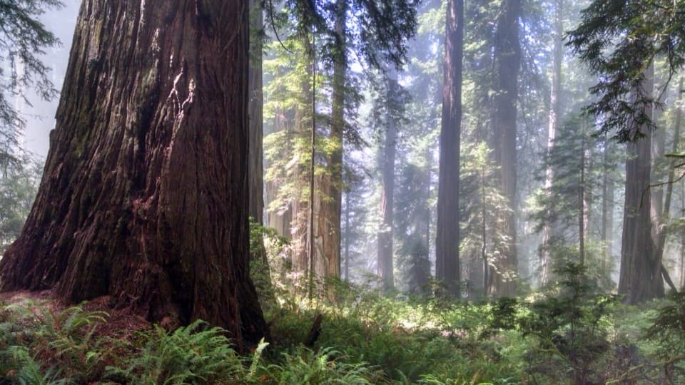 ChallengingDamnation Creek Trail4 mi · 3 hr · 3.1 mi awayRedwoods, ferny switchbacks and a rocky cove in one steep outing.
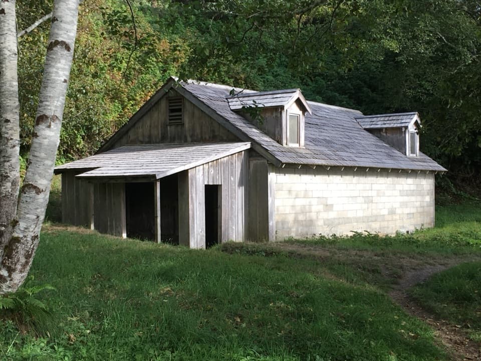 EasyWWII Radar Farmhouse Trail0.3 mi · 30 min · 5.8 mi awayA short walk to radar buildings disguised as a farm.
 ChallengingCoastal Trail: Flint Ridge Section4.5 mi · 3 hr · 6.2 mi awayA mill pond leads into a steep old growth redwood climb.
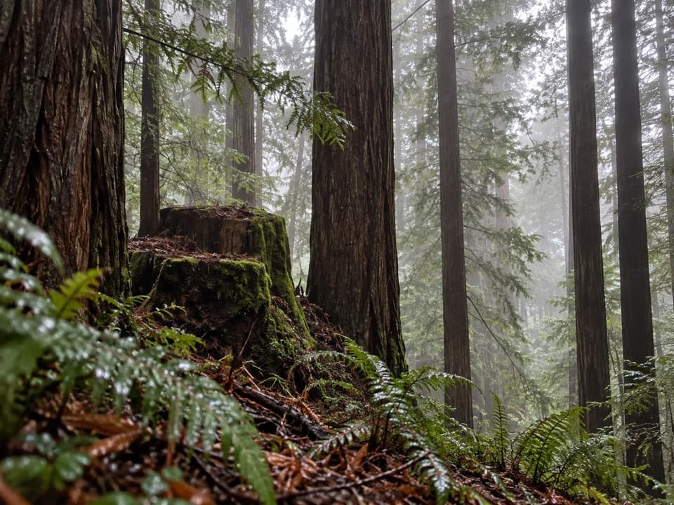 ModerateSaddler Skyline Trail1.5 mi · 1 hr · 6.5 mi awayA short climb through young redwoods and berry thickets.
 ModerateHobbs-Wall Trail3.8 mi · 2 hr · 6.7 mi awayA wall of redwood trunks on a hilly forest loop.
 EasyTrestle Loop Trail1.3 mi · 54 min · 6.8 mi awayA short railroad loop beside Mill Creek.
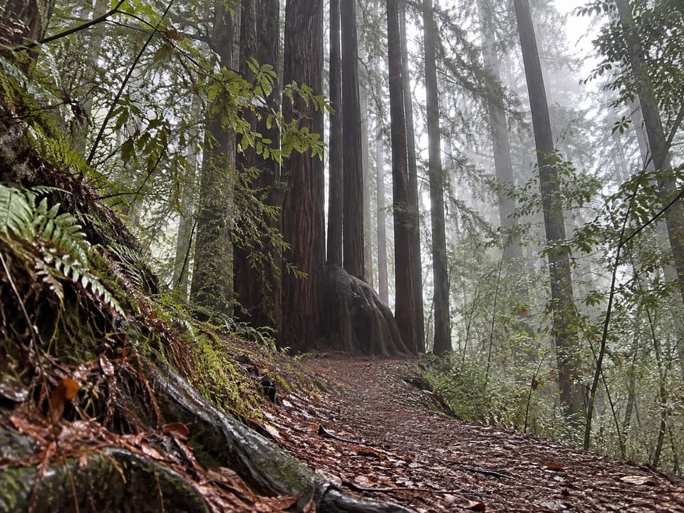 ModerateAlder Basin Trail0.6 mi · 30 min · 6.9 mi awayA short, steep climb through ferny second-growth redwoods
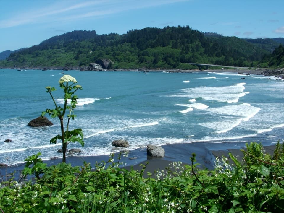 Beach · 0.4 mi awayFalse Klamath CoveLow tide opens a rocky cove of pools, driftwood, and offshore stacks.
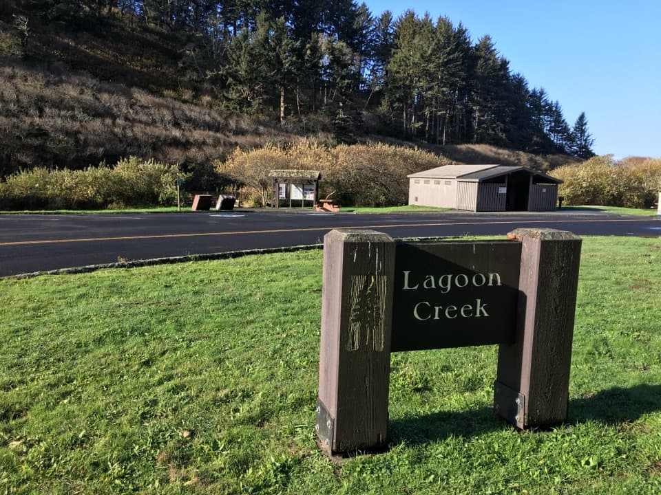 Picnic area · 0.7 mi awayLagoon Creek Day Use AreaA pond-side pause with a short trail to sea-stack views.
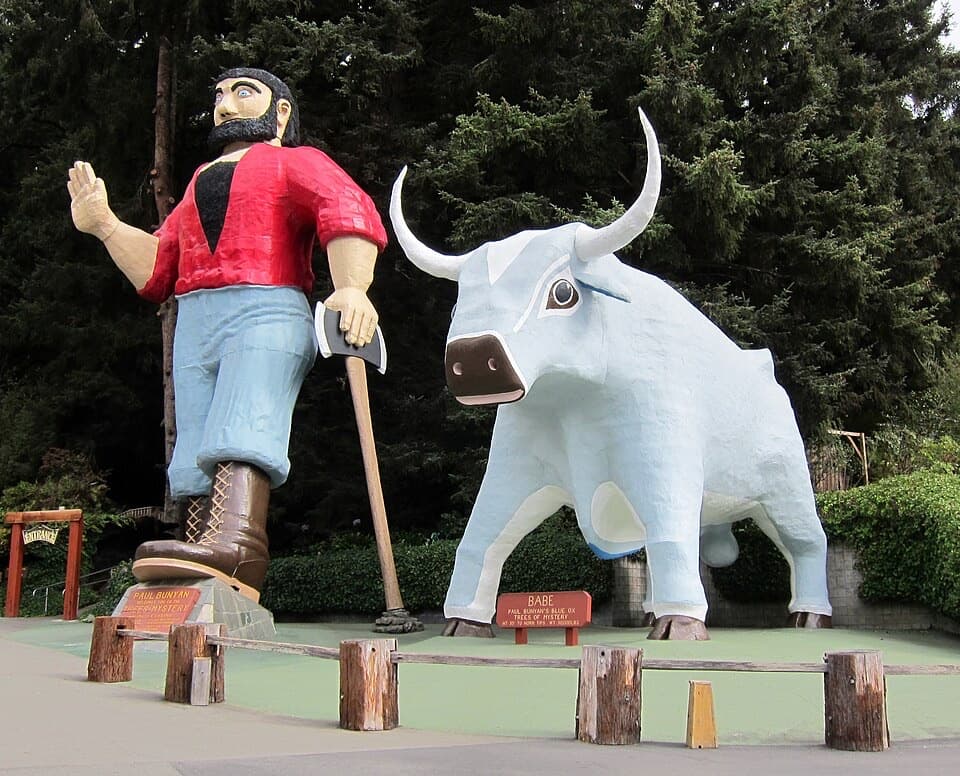 Sight · 1.5 mi awayTrees of MysteryRide above the redwoods, then wander among their roots.
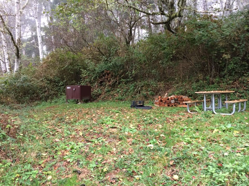 Campground · 1.6 mi awayDeMartin Backcountry CampA coastal hike-in camp with no water on site.
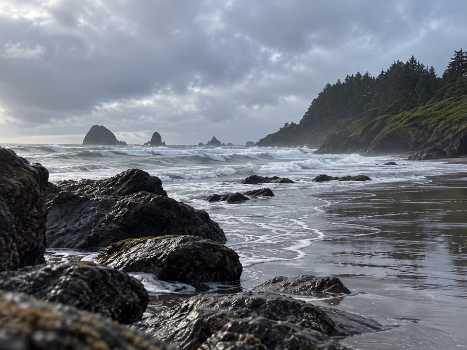 Beach · 1.8 mi awayHidden BeachA walk-in cove for tidepools, sea stacks, and a quieter shore.Sight · 3.5 mi awayKlamath River OverlookA river mouth, sandspit and the Pacific—all visible without a hike.
 Lodging · 4.3 mi awayThe Historic Requa InnStay above the Klamath River in a 1914 inn.
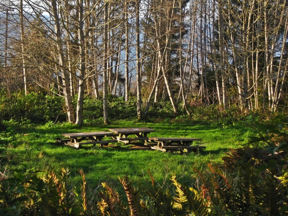 Campground · 5.5 mi awayFlint Ridge Backcountry CampAn easy walk-in camp with a World War II secret nearby.
Parkwolf’s Redwood ranking

The audio tour guide for the drive, plus offline maps, trails, and wildlife heatmaps for when the signal drops.





