Parking
Damnation Creek Trail begins at an unmarked dirt pullout on the west, southbound side of U.S. 101 near mile marker 16. There is no left-turn lane from the northbound side, so approach from the southbound lanes rather than crossing traffic.
Redwood National Park, CA
Redwoods, ferny switchbacks and a rocky cove in one steep outing.
Overview
Map & elevation
Plan your hike

The highest, rockiest slopes around here are a summer buffet for grizzly bears.
Redwood Tour Guide
Parkwolf is a GPS audio tour guide for Redwood National Park. As you drive, it chimes in with what’s ahead: hidden gems, upcoming stops, history, geology, and wildlife, right through your car’s speakers.
See the Redwood audio tourRecorded for this trailhead
Damnation Creek Trail“You're nearing the Damnation Creek trailhead, for a steep hike from old-growth redwoods to a rocky Pacific cove.”
Plays as you drive up to this trailhead in the Parkwolf Redwood Tour Guide.
More stories near here in the app
“Fantastic app with many points of information… It’s great to just turn on while you’re driving and it gives you an audio tour of the national Park. We love it!!!!”


Trail guide
Damnation Creek is a 4-mile out-and-back from Highway 101 to a small rocky cove where the creek reaches the Pacific. You drop about 1,100 feet from the road and climb it all back on the return, so allow roughly 2½ to 3 hours before adding time for the forest or tide pools. If you want one hike that moves from old-growth redwoods through a ferny creek canyon to the coast, this is a memorable choice. If you want an easy beach stroll, pick something else.
The path climbs for its first 0.2 mile, then tips into a long descent through about 17 switchbacks. At the Coastal Trail crossing, turn right and look for the Damnation Creek path splitting off to the left shortly afterward. It is easy to keep walking along the coast by mistake. The largest redwoods are in the first part of the walk; the beach is the payoff at the bottom, not an early viewpoint.
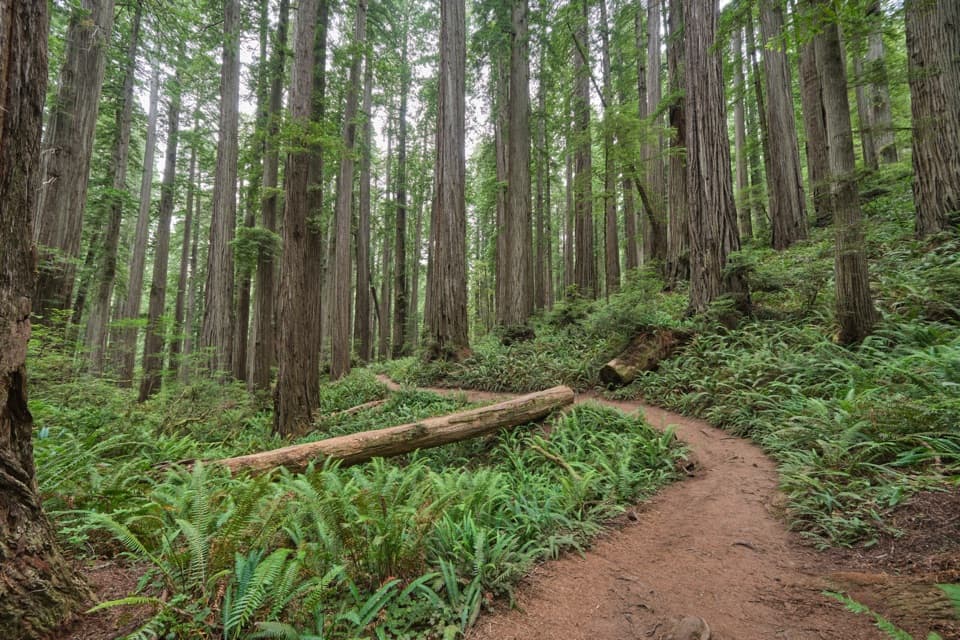
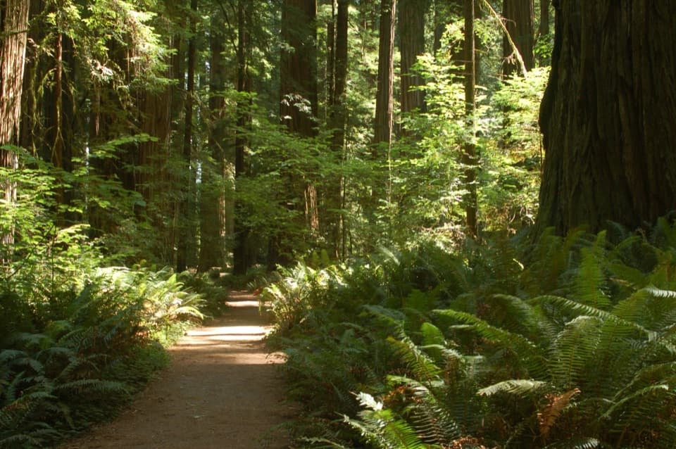
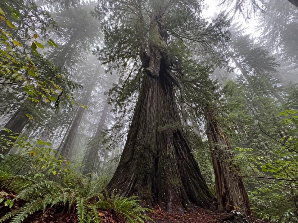
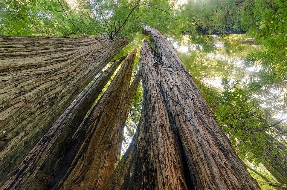
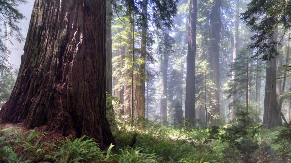
Near Highway 101, the trail threads through an open grove of old-growth redwoods with ferns, tall huckleberry and rhododendron beneath them. The largest trees are near the start, where traffic noise still carries from the highway. After the Coastal Trail crossing, that sound drops away and the redwoods get smaller. Ferns and huckleberry continue along the slope. Rhododendrons usually flower from mid-May into June, though the blooms are scattered rather than one solid show.
The crossing follows an old stretch of Highway 101 used from 1920 to 1934. It is a brief oddity in the middle of a walk that otherwise keeps changing by habitat rather than by landmark.
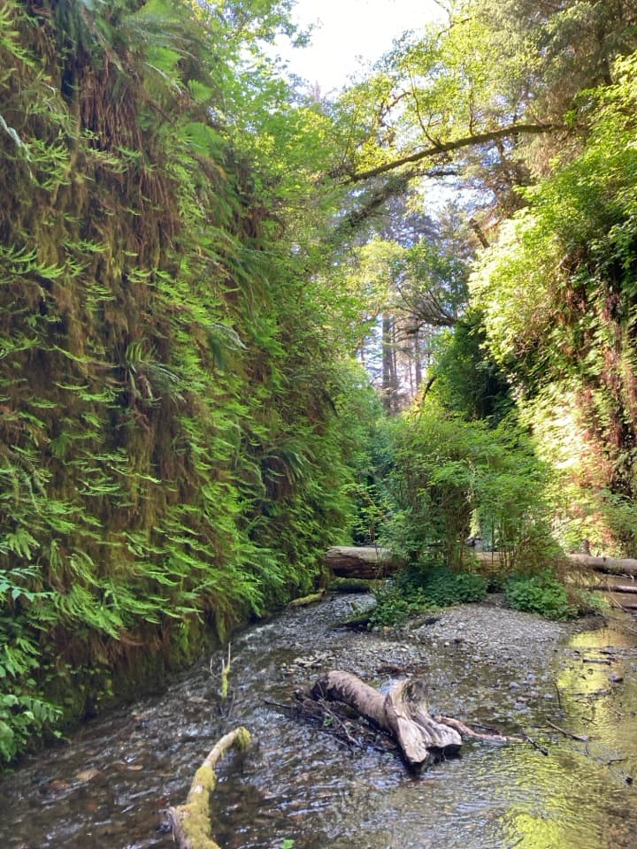
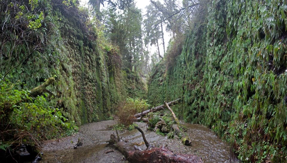
Around the lower half, redwoods give way to Sitka spruce. The tread gets rougher, steeper and brushier, with a few slumped sections. It drops into a fern-filled canyon where you hear Damnation Creek before reaching it. The small bridges lower down cross side drainages, not the main creek. Keep watching the footing as the path approaches the coast; the last drop to the cove uses narrow steps cut into rock.
The end is a small, rocky beach beneath steep coastal slopes, with the Sister Rocks offshore. At a low enough tide, the shore can reveal pools with crabs, sea stars and anemones. Starting about an hour before low tide gives you time to look around. The beach is narrow and may largely disappear at high tide. Waves can surge onto the rocks, and the points north and south can leave you cut off by the incoming tide, so stay in the safe cove area and don't test the surf. For a photo, include some of the rocky shore with a sea stack offshore; a natural arch nearby can make the scale look strange in a good way.
This is a down-and-back route with the hardest sustained work saved for the climb to the highway. Lower footing can be rough or overgrown, and the final rock steps are steep. Pets are not allowed on park trails, though service animals are permitted. The trailhead is an unmarked highway pullout; see the parking directions before setting out.
Wildlife
 256 sightingsBlack BearMost seen around 7 PMSighting map
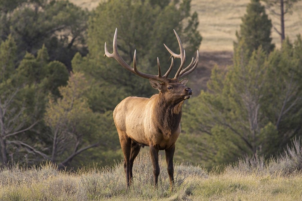 2,389 sightingsElkMost seen around 6 PMSighting map
 62 sightingsCalifornia CondorMost seen around 1 PMSighting map
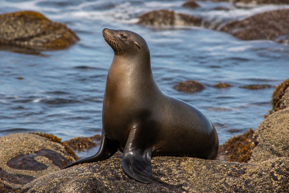 60 sightingsCalifornia Sea LionMost seen around 11 AMSighting map
 216 sightingsHarbor SealMost seen around 10 AMSighting map
 13 sightingsMountain LionMost seen around 7 PMSighting map
Sighting maps show where each species has been reported across Redwood. Wildlife moves, so no sighting is guaranteed.
Keep exploring
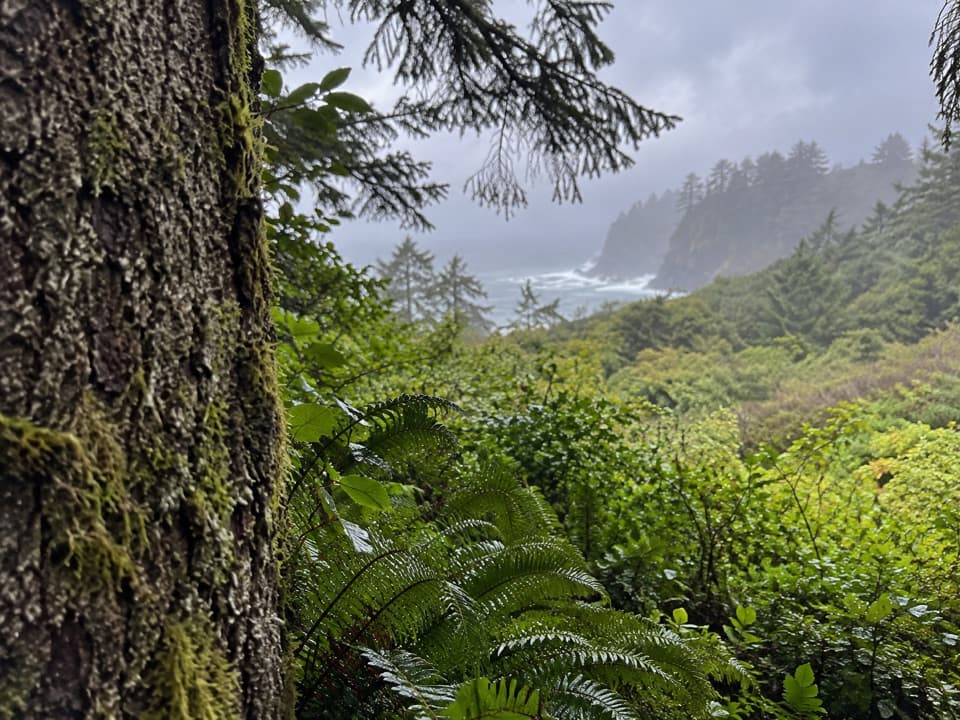 ModerateCoastal Trail: DeMartin Section6 mi · 3.5 hr · 3.1 mi awayA six-mile one-way trail through redwoods, prairie and ocean views.
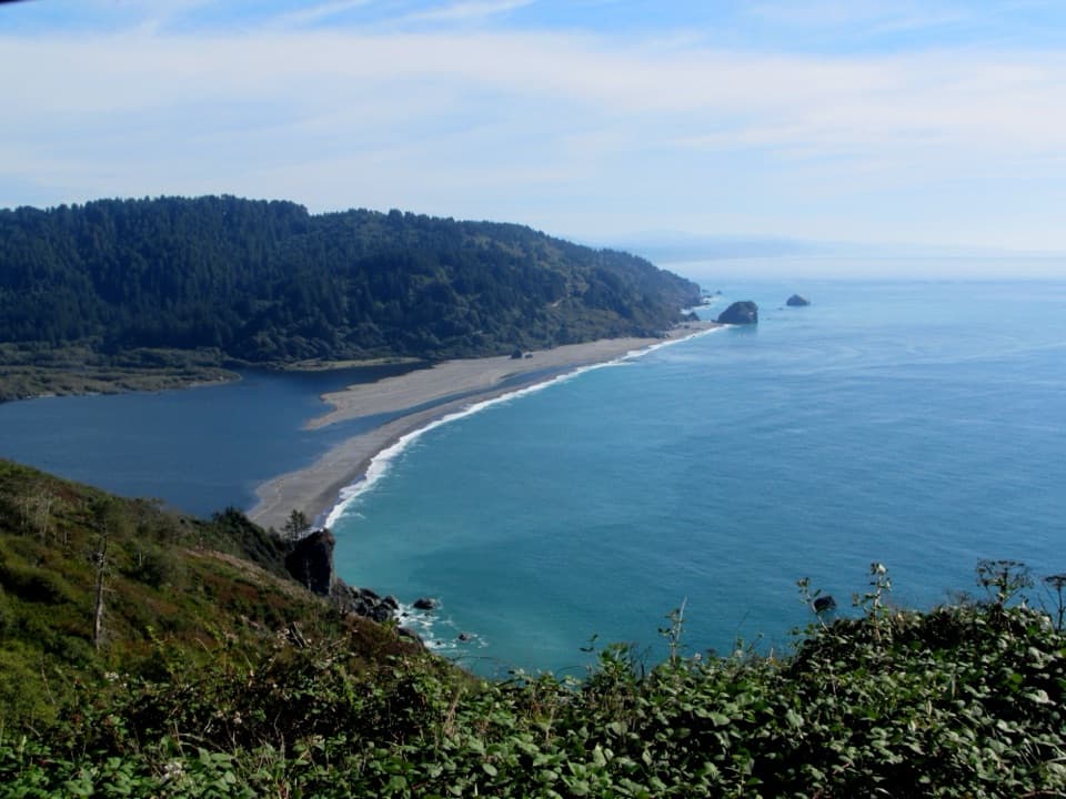 ModerateCoastal Trail: Klamath Section4.4 mi · 3.5 hr · 3.1 mi awayA steep coastal traverse to river-mouth views and a tidepool beach.
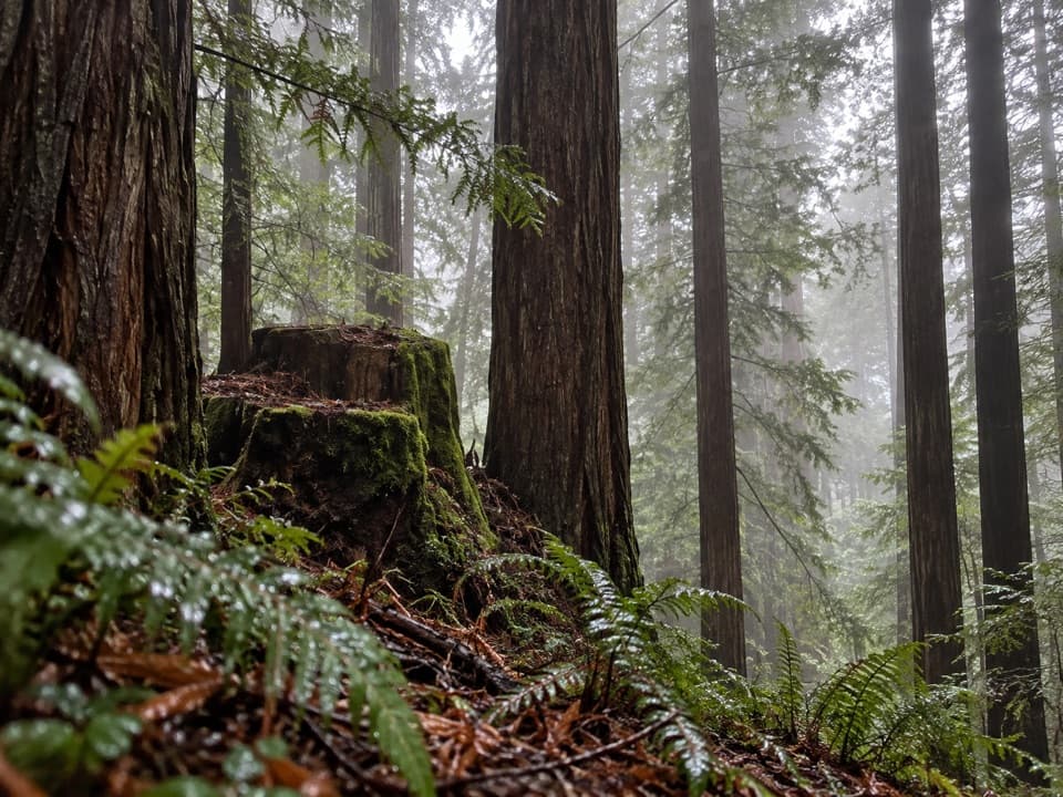 ModerateSaddler Skyline Trail1.5 mi · 1 hr · 3.5 mi awayA short climb through young redwoods and berry thickets.
 ModerateHobbs-Wall Trail3.8 mi · 2 hr · 3.6 mi awayA wall of redwood trunks on a hilly forest loop.
 EasyTrestle Loop Trail1.3 mi · 54 min · 3.8 mi awayA short railroad loop beside Mill Creek.
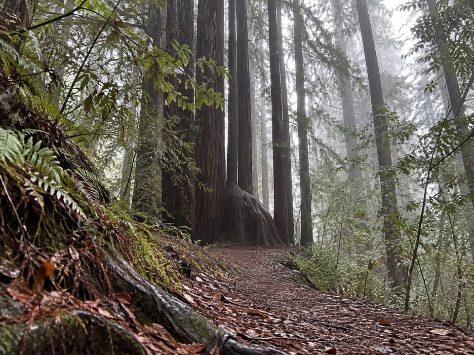 ModerateAlder Basin Trail0.6 mi · 30 min · 3.9 mi awayA short, steep climb through ferny second-growth redwoods
 ModerateEnderts Beach Trail1.2 mi · 1 hr · 4.3 mi awayA short cliffside descent to a rocky tidepool beach.
 ChallengingCoastal Trail: Last Chance Section6.8 mi · 4.5 hr · 4.3 mi awayCoastal views, steep switchbacks, then quiet old-growth redwoods.
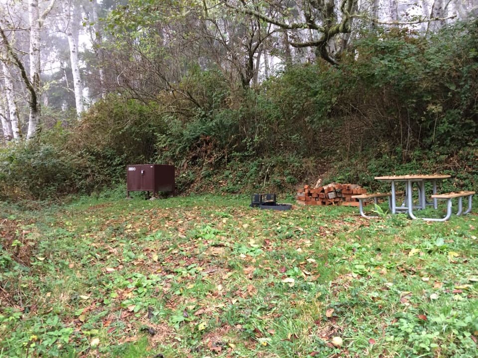 Campground · 1.6 mi awayDeMartin Backcountry CampA coastal hike-in camp with no water on site.
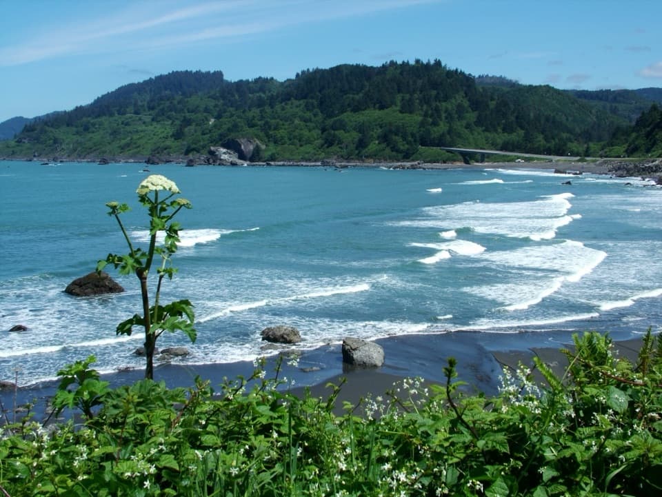 Beach · 3.4 mi awayFalse Klamath CoveLow tide opens a rocky cove of pools, driftwood, and offshore stacks.
 Campground · 3.7 mi awayMill Creek CampgroundA creekside campground with woods and walks beyond your campsite.
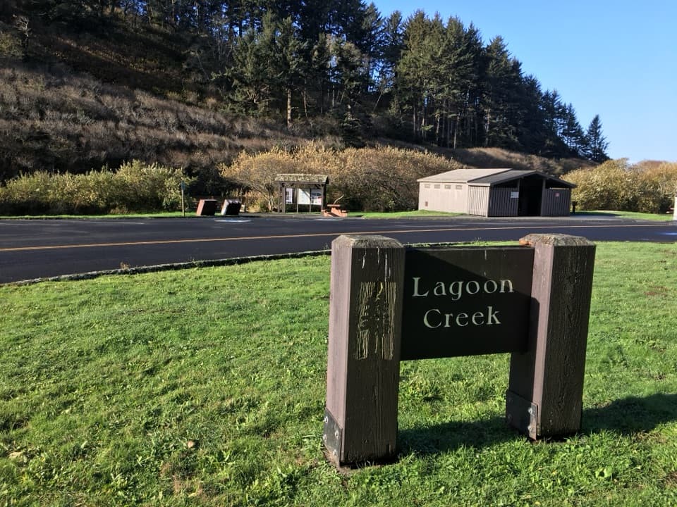 Picnic area · 3.8 mi awayLagoon Creek Day Use AreaA pond-side pause with a short trail to sea-stack views.
 Beach · 3.8 mi awayEnderts BeachLow-tide pools beneath coastal cliffs, reached by a steep beach trail.
 Sight · 4.4 mi awayCrescent Beach OverlookA brief deck stop for Crescent City's beaches and harbor.
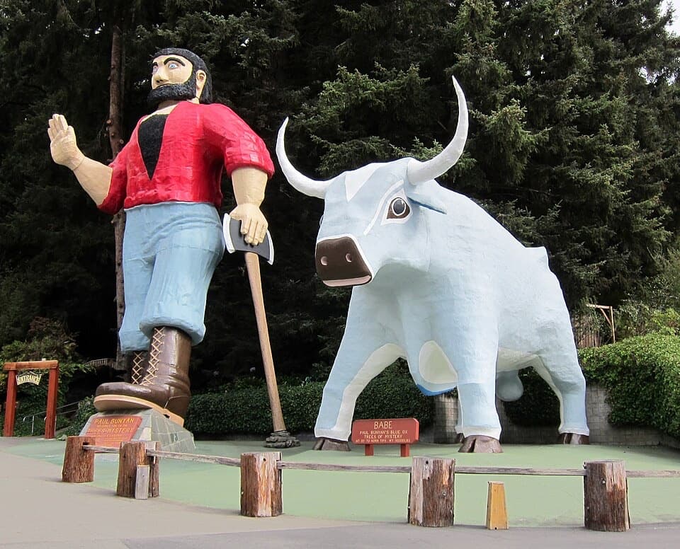 Sight · 4.6 mi awayTrees of MysteryRide above the redwoods, then wander among their roots.
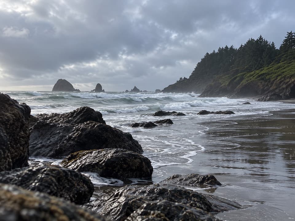 Beach · 4.9 mi awayHidden BeachA walk-in cove for tidepools, sea stacks, and a quieter shore.
Parkwolf’s Redwood ranking

The audio tour guide for the drive, plus offline maps, trails, and wildlife heatmaps for when the signal drops.