Parking
Access is via Mill Creek Campground Trail near the campground entrance off Highway 101. A separate parking area for this trail was not confirmed.
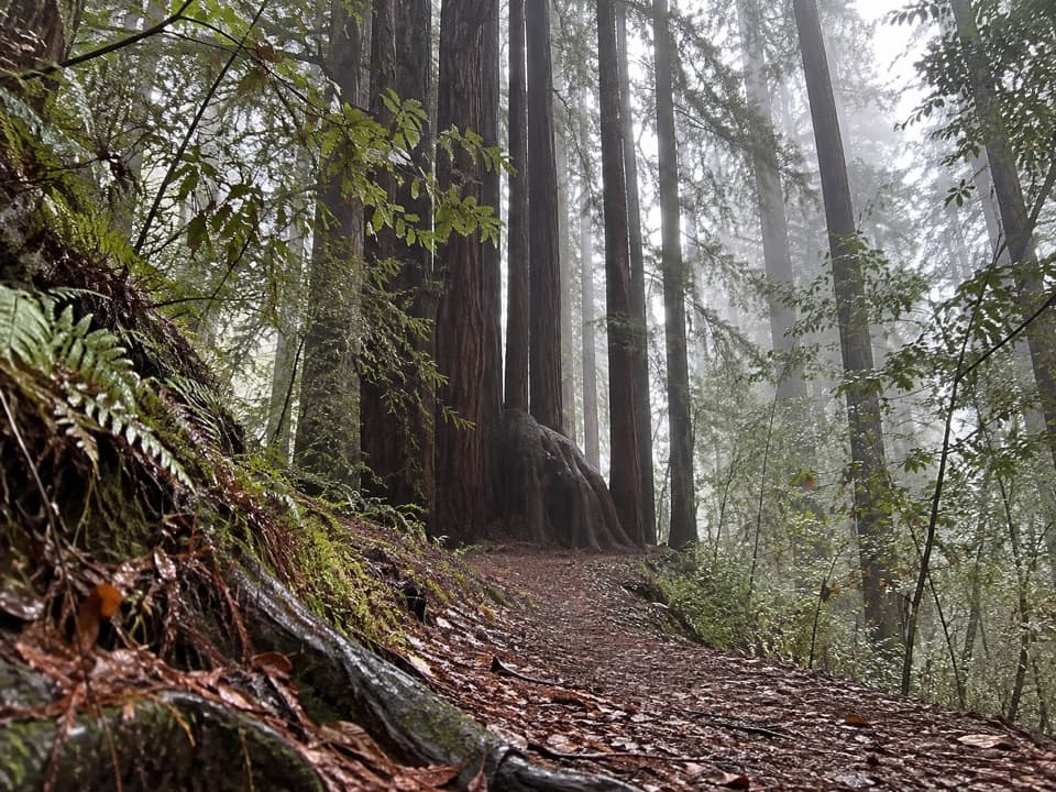
Redwood National Park, CA
A short, steep climb through ferny second-growth redwoods
Overview
Map & elevation
Plan your hike

The highest, rockiest slopes around here are a summer buffet for grizzly bears.
Redwood Tour Guide
Parkwolf is a GPS audio tour guide for Redwood National Park. As you drive, it chimes in with what’s ahead: hidden gems, upcoming stops, history, geology, and wildlife, right through your car’s speakers.
See the Redwood audio tourRecorded for this trailhead
Mill Creek Campground“You're approaching Mill Creek Campground, a seasonal camping base in a leafy creek valley. Come for a night in the forest rather than a quick look at a famous giant.”
Plays as you drive up to this trailhead in the Parkwolf Redwood Tour Guide.
More stories near here in the app
“Fantastic app with many points of information… It’s great to just turn on while you’re driving and it gives you an audio tour of the national Park. We love it!!!!”


Trail guide
Alder Basin Trail is a steep, point-to-point walk through the second-growth redwoods behind Mill Creek Campground. The mapped trail is about 0.6 mile one way and takes roughly 30 minutes; retracing it to the same access makes about 1.2 miles. Its small size hides a good deal of climbing, so take your time on the slopes.
The dirt path climbs into lush second-growth redwoods, winds through small ravines, then descends toward the campground. The changing grade and ferny forest floor are the payoff; there is no single overlook or creekside destination to aim for. Watch your footing on the steep, uneven sections.
Access is via Mill Creek Campground Trail near the campground entrance off Highway 101. Several trails share this campground network, and published descriptions disagree about Alder Basin's distance and terrain. The campground map lists 0.6 mile as round trip, while the mapped Alder Basin line runs about 0.58 mile between its ends; other descriptions give longer totals. Confirm the named trail at the junctions and use the local map if you need to return to your starting access. Dogs are not allowed on park trails except service animals.
Wildlife
 256 sightingsBlack BearMost seen around 7 PMSighting map
 2,389 sightingsElkMost seen around 6 PMSighting map
 62 sightingsCalifornia CondorMost seen around 1 PMSighting map
 60 sightingsCalifornia Sea LionMost seen around 11 AMSighting map
 216 sightingsHarbor SealMost seen around 10 AMSighting map
 13 sightingsMountain LionMost seen around 7 PMSighting map
Sighting maps show where each species has been reported across Redwood. Wildlife moves, so no sighting is guaranteed.
Keep exploring
 EasyTrestle Loop Trail1.3 mi · 54 min · 0.2 mi awayA short railroad loop beside Mill Creek.
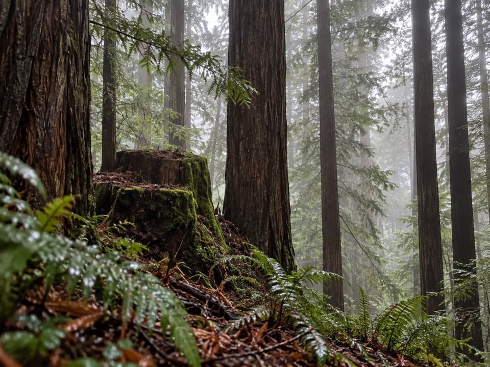 ModerateSaddler Skyline Trail1.5 mi · 1 hr · 0.4 mi awayA short climb through young redwoods and berry thickets.
 ModerateHobbs-Wall Trail3.8 mi · 2 hr · 0.4 mi awayA wall of redwood trunks on a hilly forest loop.
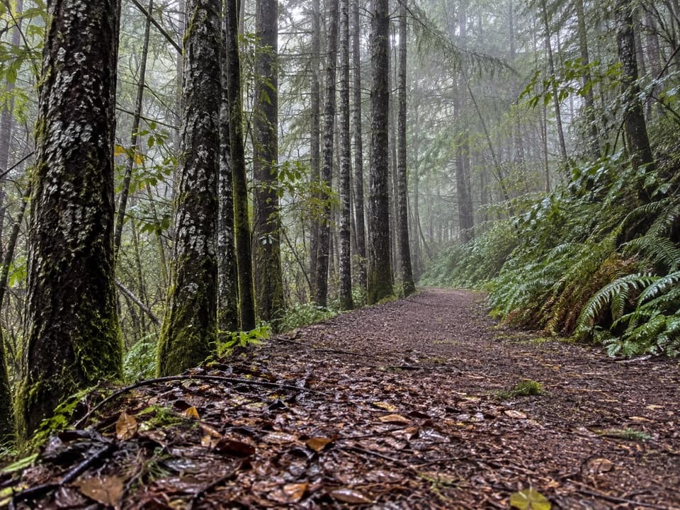 ChallengingCrossover Road Loop14.8 mi · 8.5 hr · 2 mi awayA quiet all-day loop through a redwood watershed of old logging roads
 ChallengingCalifornia Coastal Trail: Last Chance to Skunk Cabbage47.4 mi · 1 day · 2.2 mi awayA 47-mile coast-to-redwoods traverse through beaches, prairie and forest.
 ModerateEnderts Beach Trail1.2 mi · 1 hr · 2.2 mi awayA short cliffside descent to a rocky tidepool beach.
 ChallengingCoastal Trail: Last Chance Section6.8 mi · 4.5 hr · 2.2 mi awayCoastal views, steep switchbacks, then quiet old-growth redwoods.
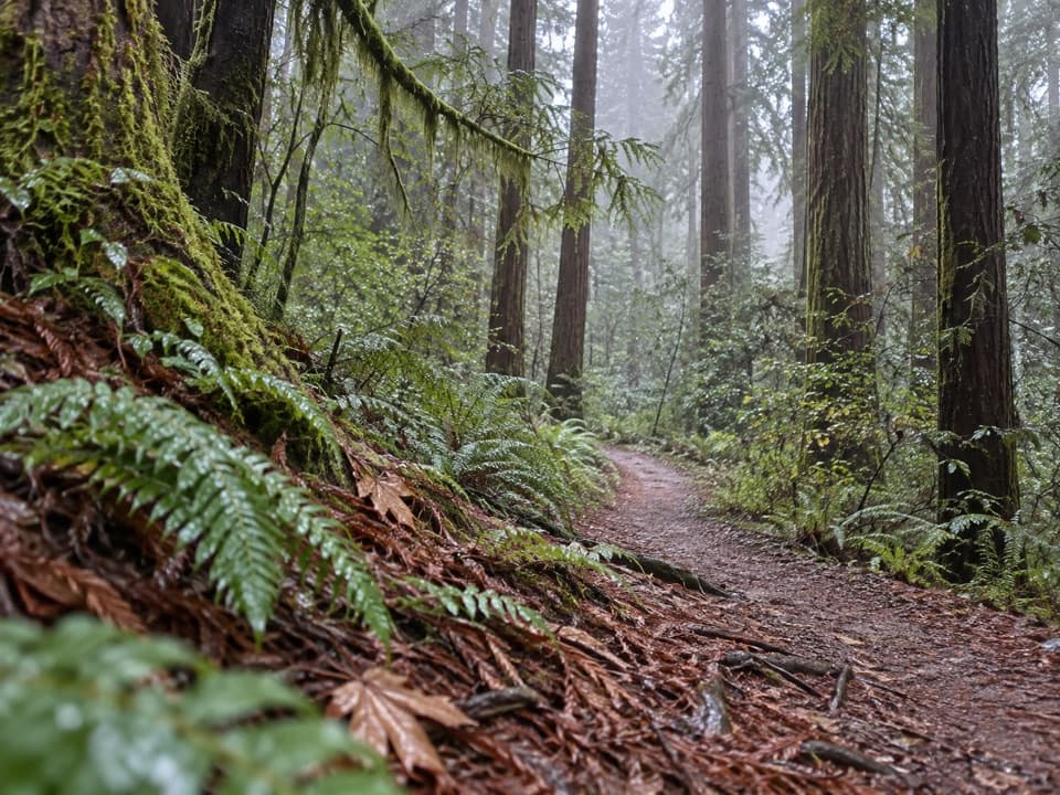 ModerateRellim Ridge Trail4.3 mi · 2.8 hr · 2.3 mi awayA steep forest climb rewards occasional views over Crescent City Harbor.
 Campground · 0.3 mi awayMill Creek CampgroundA creekside campground with woods and walks beyond your campsite.
 Sight · 2 mi awayMill Creek Day Use AreaA road walk through redwood restoration in the Mill Creek watershed.
 Beach · 2.2 mi awayEnderts BeachLow-tide pools beneath coastal cliffs, reached by a steep beach trail.
 Sight · 2.3 mi awayCrescent Beach OverlookA brief deck stop for Crescent City's beaches and harbor.
 Beach · 3.2 mi awayCrescent Beach Day Use AreaA picnic, a long sandy walk and the Pacific all start here.
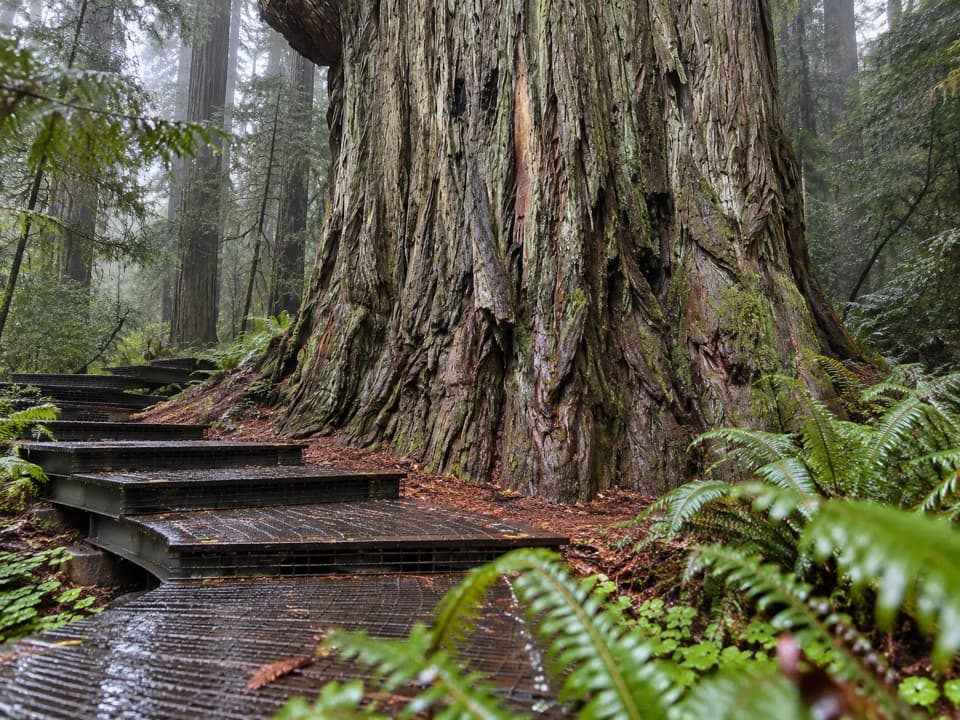 Sight · 5.2 mi awayGrove of TitansGet close to giants on a protected metal-mesh walkway.
 Campground · 5.4 mi awayLittle Bald Hills Backcountry CampA trail-access camp where grassy meadow meets fir forest.
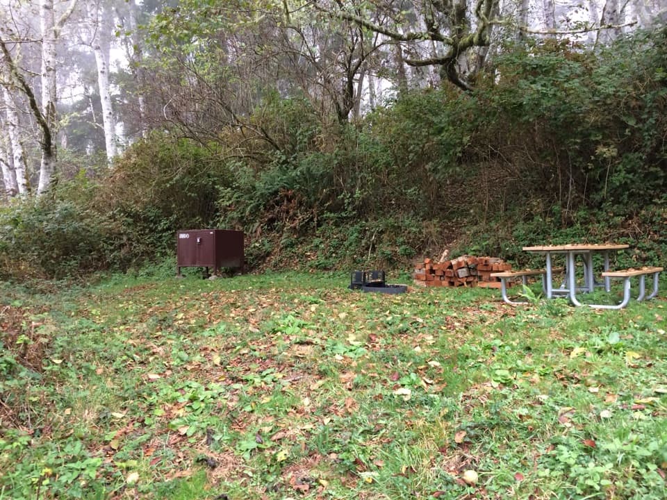 Campground · 5.4 mi awayDeMartin Backcountry CampA coastal hike-in camp with no water on site.
Parkwolf’s Redwood ranking

The audio tour guide for the drive, plus offline maps, trails, and wildlife heatmaps for when the signal drops.





