Saddler Skyline Trail in Redwood National Park

Redwood National Park, CA

Saddler Skyline Trail

A short climb through young redwoods and berry thickets.

Length
1.5mi
Time
1hr
Elev. change
417ft
Difficulty
Moderate
  • No dogs
  • High point 919 ft

Hear the audio tour

Mill Creek Campground

Overview

About Saddler Skyline Trail

Why go

  • A short ridge route with more climbing than a flat grove walk.
  • Berry shrubs and redwood forest give the trail plenty to notice.

Heads up

  • Steep switchbacks are a real effort on a short trail.
  • The far junction and return plan are not clearly described.

Map & elevation

The route

Loading the Redwood map
Full map
Elevation502–919 ft
TrailheadMill Creek Campground, between campsites 7 and 841.69741, -124.09661
Keep this map with you offline in the Parkwolf app

Plan your hike

Before you go

Parking

Use Mill Creek Campground Road off U.S. 101; the marked trailhead is between campsites 7 and 8. The campground access gate closes seasonally. During the off-season the park directs trail users to park along U.S. 101, but no specific safe pull-off is identified, so verify the access point before relying on the roadside.

Safety

Steep grades and switchbacks. Pets are prohibited on park trails. The winter gate changes vehicle access, and the specific safe roadside parking point is unclear.

6 active Redwood alerts

  • ClosureBald Hills Road, Mill Creek and 44 Creek restrictionsMentions Mill Creek, referenced in this guideUse caution on damaged Bald Hills Road and plan around Mill Creek and 44 Creek access restrictions.Official details
  • CautionU.S. 101 construction traffic controlsExpect construction-related traffic stops and one-way controlled traffic on U.S. 101; allow extra time and drive cautiously. - NPS reports multiple stops between Orick and Crescent City; delays vary.Official details
See all 6 alerts
A park ranger sits on a dash-mounted phone, talking, as Parkwolf’s Tour Guide plays “Army Cutworm Moths: A Grizzly Bear Buffet” on Grand Loop Road below Dunraven Pass in Yellowstone
Parkwolf Tour GuideThe highest, rockiest slopes around here are a summer buffet for grizzly bears.

Redwood Tour Guide

Your drive to Saddler Skyline Trail, narrated.

Parkwolf is a GPS audio tour guide for Redwood National Park. As you drive, it chimes in with what’s ahead: hidden gems, upcoming stops, history, geology, and wildlife, right through your car’s speakers.

See the Redwood audio tour

Recorded for this trailhead

Mill Creek Campground
0:00 / 0:35
“You're approaching Mill Creek Campground, a seasonal camping base in a leafy creek valley. Come for a night in the forest rather than a quick look at a famous giant.”

Plays as you drive up to this trailhead in the Parkwolf Redwood Tour Guide.

More stories near here in the app

  • How a Giant Stays Upright
  • The Coho's Last Journey
  • The Spruce Beside the Sea
  • The Dots Beneath a Fern
  • 85 audio storiesacross Redwood’s roads, triggered by GPS as you drive
  • Wildlife heatmapsfor Black Bear, Elk, California Condor, and 13 more
  • Works offlinemaps, 83 trails, 48 places, and audio download before you lose signal
  • CarPlay readysimple controls built for the drive
★★★★★
“Fantastic app with many points of information… It’s great to just turn on while you’re driving and it gives you an audio tour of the national Park. We love it!!!!”
JMJamesApp Store review
Download Parkwolf on the App StoreGet Parkwolf on Google Play

4.7 from 8,600+ ratings

Trail guide

Hiking Saddler Skyline Trail

A one-way ridge walkSaddler Skyline is a 1.

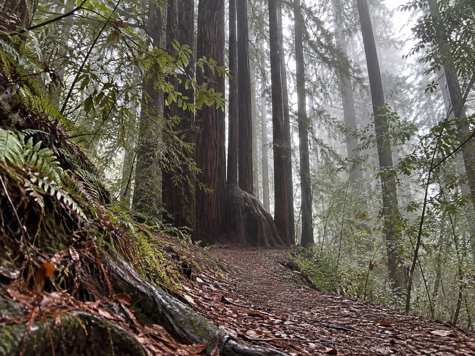
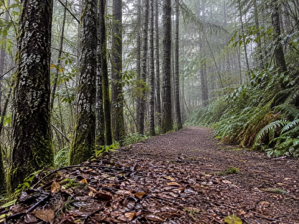
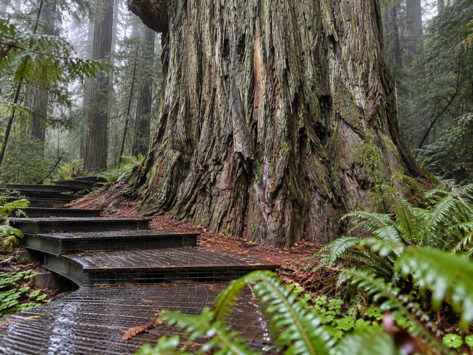
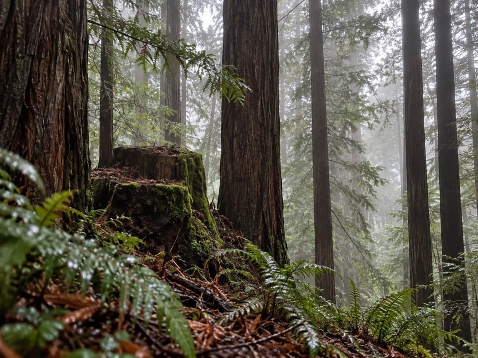
Saddler Skyline is a 1.5-mile point-to-point trail through second-growth redwoods on a low ridge in Del Norte Coast Redwoods State Park. The marked trailhead is between Mill Creek Campground sites 7 and 8. Its dirt tread climbs and dips on steep grades and switchbacks, so this is a short hike rather than a flat campground stroll. The far junction isn't clearly named in the park's directions. Plan on about an hour each way; walking back on the same trail makes roughly 3 miles and about two hours. The route also connects with Nature Loop and Hobbs-Wall, but confirm those links before counting on a circuit.

The climb through the treesThe trail crosses a brushy ravine, then winds over a low ridge through second-growth redwoods.

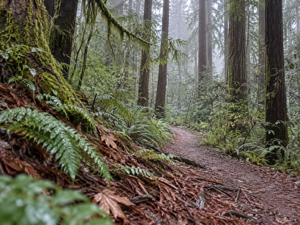
The trail crosses a brushy ravine, then winds over a low ridge through second-growth redwoods. Switchbacks break up the steeper hillside sections. This is a good pick if you want a bit of climbing close to camp; the payoff is the wooded route itself, not a named overlook.

Berries and forest lifeThimbleberry, huckleberry, redwood sorrel, wild ginger, false Solomon's seal and California…

Thimbleberry, huckleberry, redwood sorrel, wild ginger, false Solomon's seal and California blackberry grow along the route. Their fruit and cover draw birds, gray squirrels and red foxes, though sightings are never guaranteed.

Campground accessThe trail starts inside seasonal Mill Creek Campground.

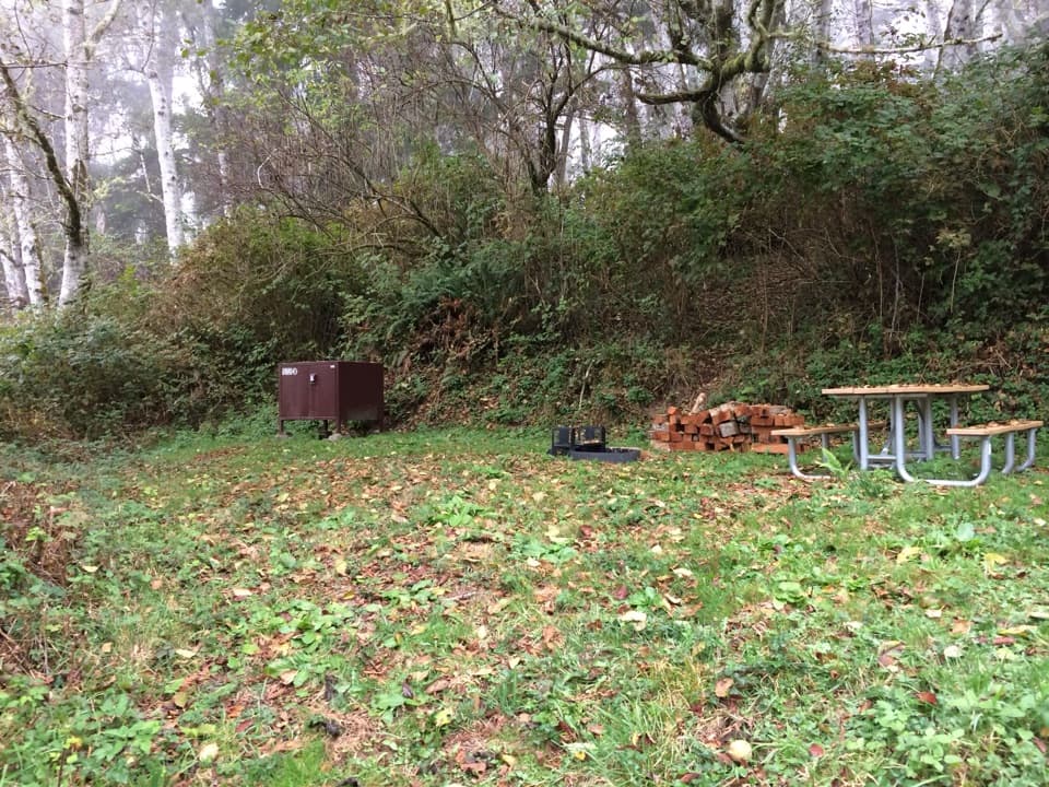
The trail starts inside seasonal Mill Creek Campground. When the campground gate is closed for winter, the park directs hikers to reach affected trails from U.S. 101, but it doesn't identify a specific safe pull-off; check access before relying on the roadside. The campground has seasonal drinking water and flush toilets. There's no food service on the trail. Pets aren't allowed on park trails.

Wildlife

Wildlife in Redwood

All Redwood wildlife maps

Sighting maps show where each species has been reported across Redwood. Wildlife moves, so no sighting is guaranteed.

Keep exploring

Near Saddler Skyline Trail

See it all on the map

Trails that start nearby

Places near the trailhead

Parkwolf’s Redwood ranking

Top-rated trails in Redwood

All 83 trails
  1. 1Fern Canyon Loop TrailModerate · 1 mi
  2. 2Miners Ridge and James Irvine LoopChallenging · 12 mi
  3. 3Boy Scout Tree TrailModerate · 5.6 mi
  4. 4Stout Memorial Grove TrailEasy · 0.6 mi
  5. 5Grove of Titans TrailEasy · 1.8 mi
  6. 6Tall Trees TrailChallenging · 3.7 mi

Take Parkwolf to Redwood.

The audio tour guide for the drive, plus offline maps, trails, and wildlife heatmaps for when the signal drops.

4.7 from 8,600+ ratings

Download Parkwolf on the App StoreGet Parkwolf on Google Play