Hobbs-Wall Trail in Redwood National Park

Redwood National Park, CA

Hobbs-Wall Trail

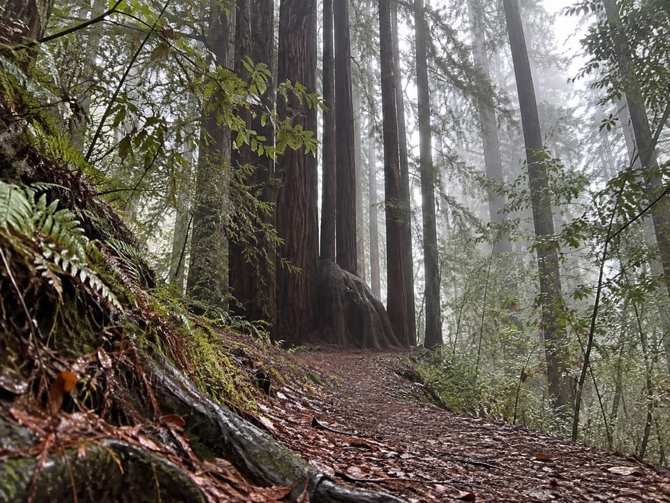
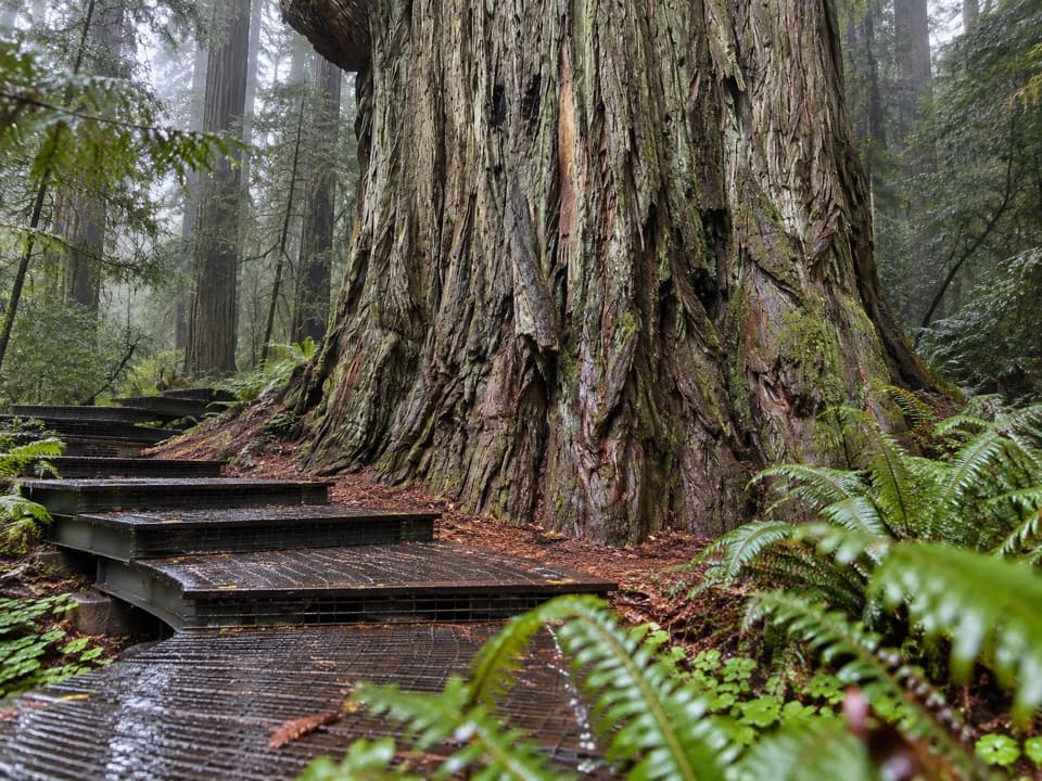
A wall of redwood trunks on a hilly forest loop.

Length
3.8mi
Time
2hr
Elev. change
564ft
Difficulty
Moderate
  • Loop
  • No dogs
  • High point 1,171 ft

Hear the audio tour

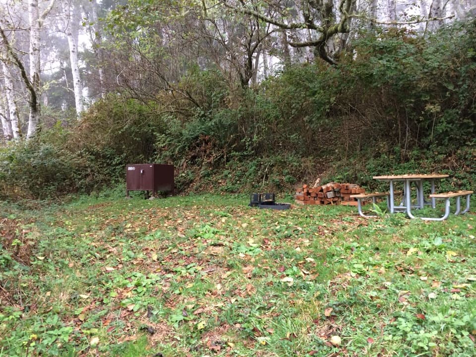
Mill Creek Campground

Overview

About Hobbs-Wall Trail

Why go

  • A distinctive wall of cut redwood trunks beside the trail
  • Old-growth pockets, ravines, and second-growth forest in one loop

Heads up

  • Uneven hills make it more than a flat campground stroll

Map & elevation

The route

Loading the Redwood map
Full map
Elevation607–1,171 ft
TrailheadHobbs-Wall access off Mill Creek Campground Road41.69961, -124.10705
Keep this map with you offline in the Parkwolf app

Plan your hike

Before you go

Parking

Use the marked Hobbs-Wall access off Mill Creek Campground Road, about 2 miles east of U.S. 101 and 7 miles south of Crescent City. The campground road is seasonal; when its gate is closed, park information directs hikers to park along U.S. 101.

Safety

Non-level grades climb and descend through ravines. Dogs are prohibited on state park trails except service animals.

6 active Redwood alerts

  • ClosureBald Hills Road, Mill Creek and 44 Creek restrictionsMentions Mill Creek, referenced in this guideUse caution on damaged Bald Hills Road and plan around Mill Creek and 44 Creek access restrictions.Official details
  • ClosureBoy Scout, Alder Basin and Lyon’s Ranch trail restrictionsMentions Alder Basin, referenced in this guidePlan around closures and blocked sections on Boy Scout Tree, Alder Basin and Lyon’s Ranch trails. - Boy Scout Tree Trail is partially open; a fallen tree blocks the trail 1.Official details
See all 6 alerts
A park ranger sits on a dash-mounted phone, talking, as Parkwolf’s Tour Guide plays “Army Cutworm Moths: A Grizzly Bear Buffet” on Grand Loop Road below Dunraven Pass in Yellowstone
Parkwolf Tour GuideThe highest, rockiest slopes around here are a summer buffet for grizzly bears.

Redwood Tour Guide

Your drive to Hobbs-Wall Trail, narrated.

Parkwolf is a GPS audio tour guide for Redwood National Park. As you drive, it chimes in with what’s ahead: hidden gems, upcoming stops, history, geology, and wildlife, right through your car’s speakers.

See the Redwood audio tour

Recorded for this trailhead

Mill Creek Campground
0:00 / 0:35
“You're approaching Mill Creek Campground, a seasonal camping base in a leafy creek valley. Come for a night in the forest rather than a quick look at a famous giant.”

Plays as you drive up to this trailhead in the Parkwolf Redwood Tour Guide.

More stories near here in the app

  • The Coho's Last Journey
  • How a Giant Stays Upright
  • The Spruce Beside the Sea
  • Crescent Beach Overlook and Enderts Beach
  • 85 audio storiesacross Redwood’s roads, triggered by GPS as you drive
  • Wildlife heatmapsfor Black Bear, Elk, California Condor, and 13 more
  • Works offlinemaps, 83 trails, 48 places, and audio download before you lose signal
  • CarPlay readysimple controls built for the drive
★★★★★
“Fantastic app with many points of information… It’s great to just turn on while you’re driving and it gives you an audio tour of the national Park. We love it!!!!”
JMJamesApp Store review
Download Parkwolf on the App StoreGet Parkwolf on Google Play

4.7 from 8,600+ ratings

Trail guide

Hiking Hobbs-Wall Trail

A 3.75-mile forest loopHobbs-Wall Trail is a 3.

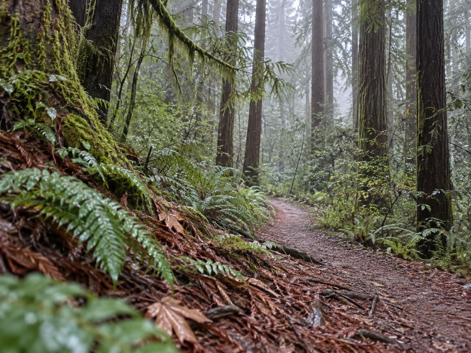
Hobbs-Wall Trail is a 3.75-mile loop above Mill Creek Campground in Del Norte Coast Redwoods State Park. It circles a logged hillside through redwoods and second growth, using a short Nature Loop stretch and two small Saddler Loop links to close the circuit. Allow about two hours. The uneven grades and repeated ravine dips make it a moderate hike, not a flat campground stroll.

Start and routeThe marked access is off Mill Creek Campground Road, about two miles east of U.S. 101.

The marked access is off Mill Creek Campground Road, about two miles east of U.S. 101. From Crescent City, turn east onto the campground road about seven miles south of town. The campground entrance operates seasonally; when its gate is shut, park information directs hikers to park along U.S. 101. Dogs are not allowed on trails except service animals.

Through the hillsideThe path drops through a lush ravine, passes redwood stumps and ferns beneath mixed fir, then…

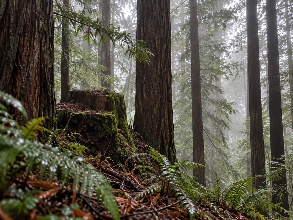
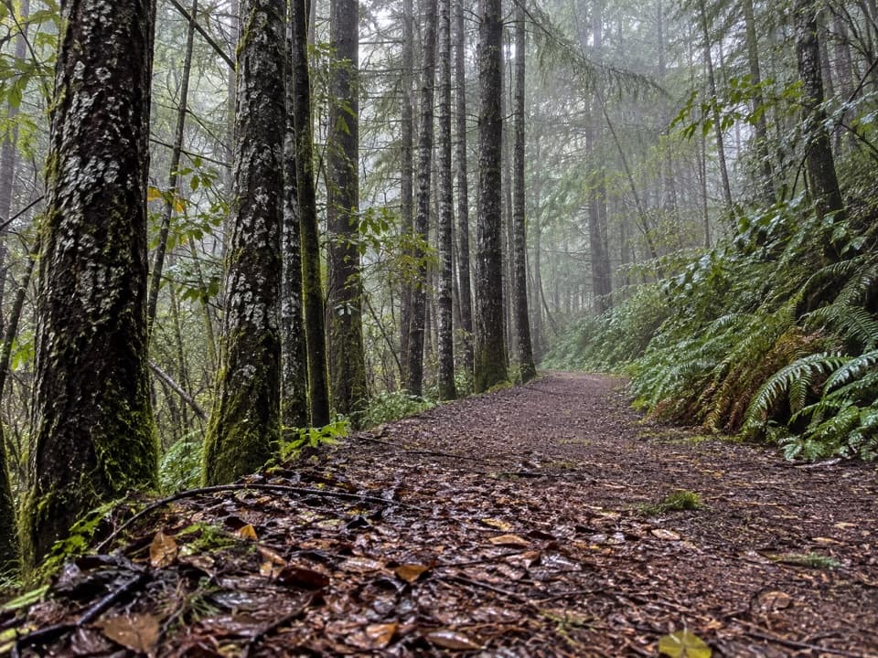
The path drops through a lush ravine, passes redwood stumps and ferns beneath mixed fir, then levels into smaller hollows with brief looks toward Mill Creek watershed hills. It climbs again through a redwood and fir grove before descending alongside the highway. Toward the campground entrance, forest size and mix shift from larger old-growth redwoods to second growth. Small creeks may run in the ravines during the wetter part of the year.

The wall in the treesNear Highway 101, redwood trunks fill a shallow depression beneath the road.

Near Highway 101, redwood trunks fill a shallow depression beneath the road. Their cut ends make the trail’s oddest sight: a wall of wood where the highway embankment was built. A narrow ridge nearby holds roughly 20 large old-growth redwoods. For a photo, frame the cut ends with a few living trunks so the contrast in scale is clear.

A name from the logging eraHobbs-Wall takes its name from Hobbs, Wall & Co.

Hobbs-Wall takes its name from Hobbs, Wall & Co., one of Del Norte’s major timber firms in the late 1860s. The company later built a mill in Mill Creek’s upper watershed and a railroad to Crescent City. The forest here carries both sides of that history: large trees that escaped the saw and a hillside that grew back after logging.

Keep it separate from the longer circuitThe 3.75-mile loop is the Hobbs-Wall route with its short trail connections.

The 3.75-mile loop is the Hobbs-Wall route with its short trail connections. A separate seven-mile campground circuit combines several other paths, including Alder Basin and Trestle Loop; choose that only if you want a longer network hike.

Wildlife

Wildlife in Redwood

All Redwood wildlife maps

Sighting maps show where each species has been reported across Redwood. Wildlife moves, so no sighting is guaranteed.

Keep exploring

Near Hobbs-Wall Trail

See it all on the map

Trails that start nearby

Places near the trailhead

Parkwolf’s Redwood ranking

Top-rated trails in Redwood

All 83 trails
  1. 1Fern Canyon Loop TrailModerate · 1 mi
  2. 2Miners Ridge and James Irvine LoopChallenging · 12 mi
  3. 3Boy Scout Tree TrailModerate · 5.6 mi
  4. 4Stout Memorial Grove TrailEasy · 0.6 mi
  5. 5Grove of Titans TrailEasy · 1.8 mi
  6. 6Tall Trees TrailChallenging · 3.7 mi

Take Parkwolf to Redwood.

The audio tour guide for the drive, plus offline maps, trails, and wildlife heatmaps for when the signal drops.

4.7 from 8,600+ ratings

Download Parkwolf on the App StoreGet Parkwolf on Google Play