Parking
Use the East Inlet Trailhead parking area on West Portal Road near Grand Lake. A valid park entrance pass or fee is required for East Inlet; seasonal timed entry may also apply.
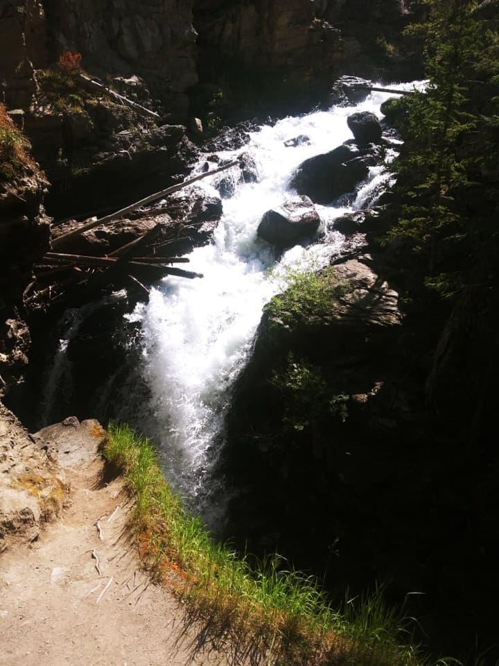
Rocky Mountain National Park, CO
Two views of a stepped waterfall in a narrow gorge.
Overview
Map & elevation
Plan your hike

The highest, rockiest slopes around here are a summer buffet for grizzly bears.
Rocky Mountain Tour Guide
Parkwolf is a GPS audio tour guide for Rocky Mountain National Park. As you drive, it chimes in with what’s ahead: hidden gems, upcoming stops, history, geology, and wildlife, right through your car’s speakers.
See the Rocky Mountain audio tourRecorded for this trailhead
East Inlet: Two Views of Adams Falls“You're approaching East Inlet Trailhead, the start of the short walk to Adams Falls. Allow thirty to forty-five minutes for about eight-tenths of a mile round trip, with rocky steps and uneven footing near the falls.”
Plays as you drive up to this trailhead in the Parkwolf Rocky Mountain Tour Guide.
More stories near here in the app
“…No cell service for majority of the day but had continuous access to the app - the maps, the tour guide as you drive is amazing. Highly recommend purchasing the subscription.”


Trail guide
Adams Falls Trail is a roughly 0.8-mile round-trip from East Inlet Trailhead, mostly out and back with a short loop at the falls. A wide dirt path passes through pine and aspen and open meadow or marsh before rock steps lead to two overlooks above a roughly 55-foot cascade in a narrow gorge. It is an easy way to see Adams Falls without committing to the longer East Inlet hikes; allow about 30 to 45 minutes to take both views and return.
At the falls, follow the short semi-loop rather than turning straight back. One branch reaches a lower overlook, then steps climb to a view above the cascade; the path rejoins East Inlet Trail a little farther along for the return. From above, you can see the water and look toward Grand Lake. The lower overlook frames the full drop; the upper stop adds the gorge and upstream channel.
Published mileage differs: one route listing calls the walk 0.3 miles out and back, while a trailhead table gives 0.3 miles one way. The 0.8-mile figure here includes the approach, the loop between both falls overlooks, and the full return to the parking area; that mapped walk is about 0.77 miles. Start at East Inlet Trailhead off West Portal Road near Grand Lake. A park entrance fee or pass is always required for East Inlet. Seasonal timed-entry rules can also cover this area, so check current dates before you go. Pets are prohibited on Rocky Mountain National Park trails.
The falls were named for Jay E. Adams, an early Grand Lake settler who arrived in the late 1800s. Before that, the waterfall was known as Ousel Falls. East Inlet Trail continues beyond the falls toward East Meadow and the backcountry lakes, but those are separate, much longer hikes.
Wildlife
 3,124 sightingsElkMost seen around 6 PMSighting map
 1,601 sightingsMooseMost seen around 7 PMSighting map
 19 sightingsMountain GoatMost seen around 7 AMSighting map
 19 sightingsBald EagleMost seen around 8 AMSighting map
 30 sightingsGolden EagleMost seen around 10 AMSighting map
 270 sightingsBighorn SheepMost seen around 11 AMSighting map
Sighting maps show where each species has been reported across Rocky Mountain. Wildlife moves, so no sighting is guaranteed.
Keep exploring
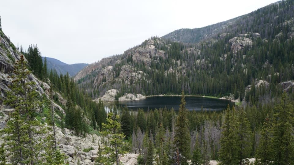 ChallengingLone Pine Lake Trail10.8 mi · 6 hr · At the trailheadA long climb through meadow to a lake below granite peaks.
 ChallengingLake Verna Trail13.8 mi · 8 hr · At the trailheadA long climb through meadow and granite to a remote alpine lake.
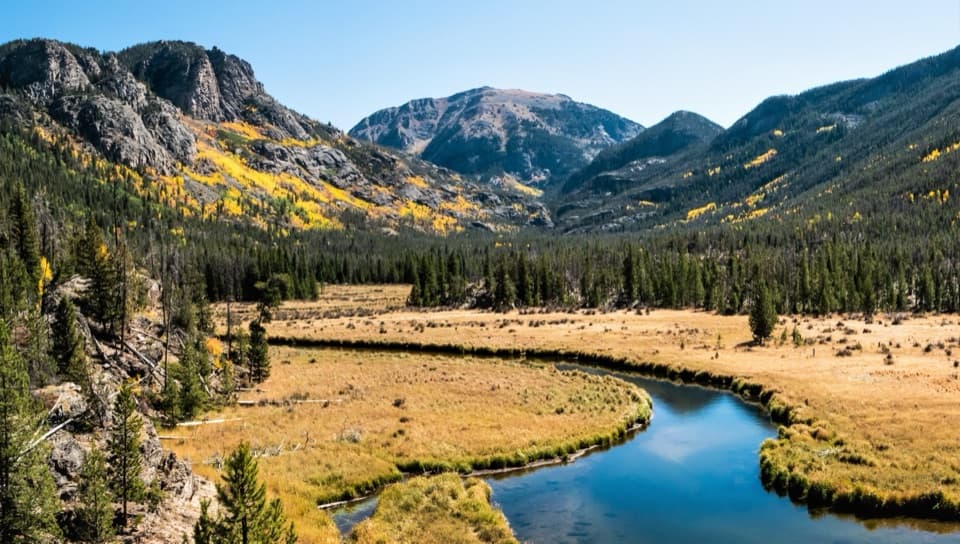 EasyEast Meadow Trail2.8 mi · 2 hr · At the trailheadA gentle creekside walk to a meadow bluff beneath Mount Craig.ChallengingSpirit Lake via East Inlet Trail15.6 mi · 12.5 hr · At the trailheadA full day from Adams Falls to the remote Spirit Lake basin.ChallengingFourth Lake via East Inlet Trail16.8 mi · 11 hr · At the trailheadA long chain of high lakes, ending where the trail thins.
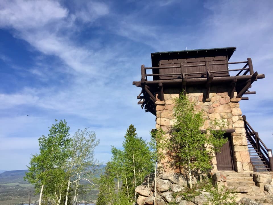 ChallengingShadow Mountain Lookout Trail9.6 mi · 4.5 hr · 1.3 mi awayA lakeside route climbs to a historic lookout closed to hikers.
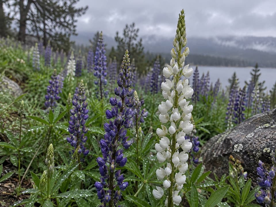 EasyEast Shore Trail5.9 mi · 3 hr · 1.4 mi awayA mellow lakeshore walk with open views over Shadow Mountain Reservoir.
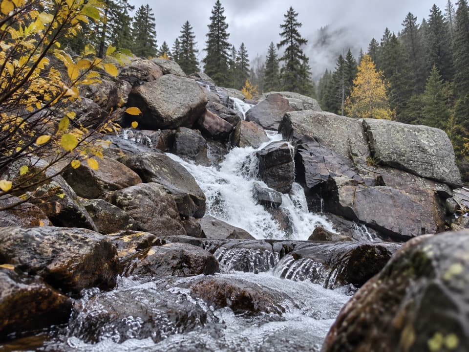 ModerateCascade Falls Trail via North Inlet7 mi · 4 hr · 1.4 mi awayA seven-mile valley walk ends at a tiered granite waterfall.Sight · 0.2 mi awayAdams FallsA short approach, with a higher view above the gorge.Sight · 1 mi awayShadow Mountain Fire LookoutA 1930s fire lookout above three lakes, reached by a long hike.
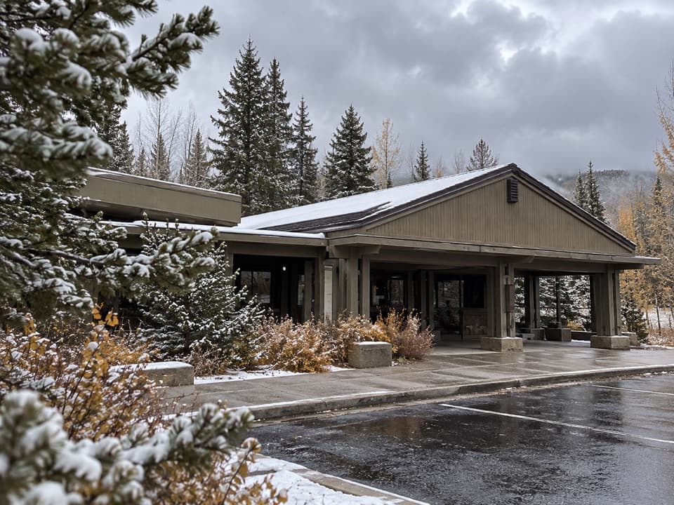 Visitor center · 2.6 mi awayKawuneeche Visitor CenterStart here for west-side maps, answers, and a park-scale preview.
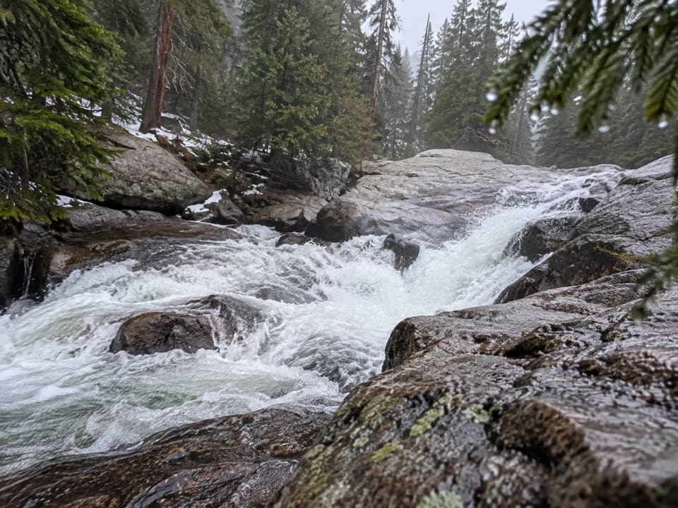 Sight · 2.9 mi awayCascade FallsA seven-mile walk brings you to a close-up granite waterfall.
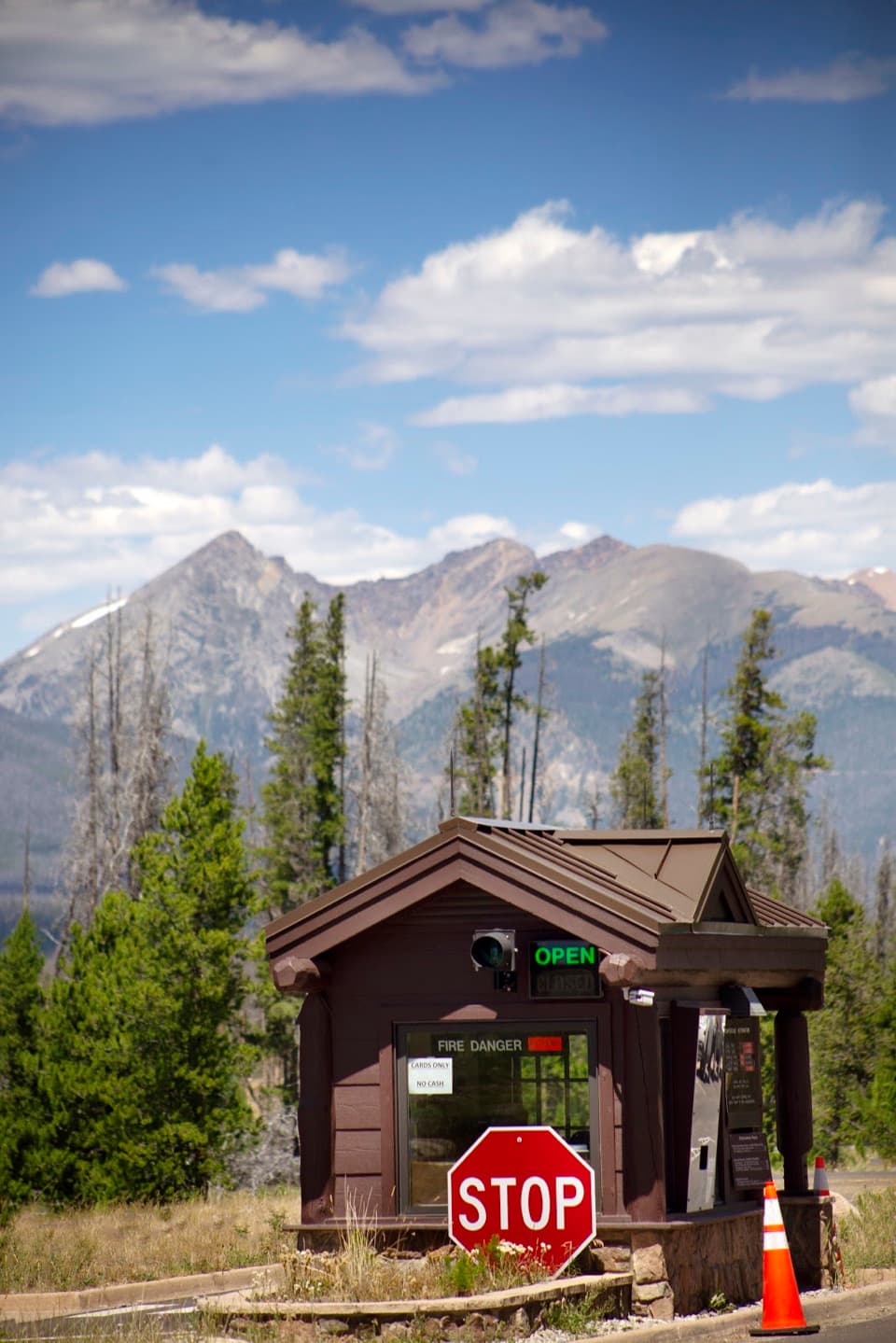 Entrance station · 2.9 mi awayGrand Lake EntranceA practical west-side gateway close to Grand Lake.
 Picnic area · 3.6 mi awayHarbison Meadows Picnic AreaSheltered picnic tables, a meadow view, and a ranching story.Sight · 3.6 mi awayLone Pine LakeAn 11-mile round trip to a granite-framed backcountry lake.Sight · 5.2 mi awayLake VernaSave a day for this narrow lake in the East Inlet valley.
Parkwolf’s Rocky Mountain ranking

The audio tour guide for the drive, plus offline maps, trails, and wildlife heatmaps for when the signal drops.




