Parking
Park at East Inlet Trailhead at the end of West Portal Road near Grand Lake. East Inlet is covered by seasonal timed-entry rules during some hours; check current park requirements before setting out.

Rocky Mountain National Park, CO
A long chain of high lakes, ending where the trail thins.
Overview
Map & elevation
Plan your hike

The highest, rockiest slopes around here are a summer buffet for grizzly bears.
Rocky Mountain Tour Guide
Parkwolf is a GPS audio tour guide for Rocky Mountain National Park. As you drive, it chimes in with what’s ahead: hidden gems, upcoming stops, history, geology, and wildlife, right through your car’s speakers.
See the Rocky Mountain audio tourRecorded for this trailhead
East Inlet: Two Views of Adams Falls“You're approaching East Inlet Trailhead, the start of the short walk to Adams Falls. Allow thirty to forty-five minutes for about eight-tenths of a mile round trip, with rocky steps and uneven footing near the falls.”
Plays as you drive up to this trailhead in the Parkwolf Rocky Mountain Tour Guide.
More stories near here in the app
“…No cell service for majority of the day but had continuous access to the app - the maps, the tour guide as you drive is amazing. Highly recommend purchasing the subscription.”


Trail guide
Fourth Lake via East Inlet is a hard, high-elevation out-and-back to the upper East Inlet basin. Plan on about 16.8 miles round trip and roughly 10 to 12 hours. The mapped corridor is about 8.4 miles each way to the shore of Fourth Lake; the route stops there, before the continuation toward Fifth Lake. Published mileage conflicts: one figure is 8.2 miles with an unclear out-and-back convention, while the mapped route and a 2025 on-foot measurement put Fourth Lake about 8.3 miles one way. I use the full round-trip distance.
The trail begins at East Inlet Trailhead near Grand Lake. Seasonal timed-entry rules can apply to this outlying park area, even though the starting access is on the west side; check current Rocky Mountain National Park entry requirements before going. Dogs are prohibited on park trails and meadows.
The first stretch winds through pine and aspen and passes the short Adams Falls walk. The falls drop in steps through a narrow rock gorge, and most visitors turn back here. Keep going and the route settles beside East Inlet Creek before opening onto East Meadow, where the creek runs beneath Mount Cairns, Mount Craig and Mount Wescott. A low bluff above the meadow is a good place to look for elk, moose or deer.
Beyond the open valley, the trail climbs the rocky lower slopes of Mount Cairns. The route is well built in places, with stone staircases on the steeper pitches, but it also contours beneath cliffs and gains height in stages. Look back for views toward Grand Lake and the Kawuneeche Valley. This is a long day at high altitude, and snow or ice can linger on higher stretches into summer.
Lone Pine Lake is the first major lake stop, about 5.3 miles from the trailhead. A granite slab near its southwest shore gives you a seat and a clear view of the small granite island and the peaks across the water. Lake Verna comes later, after another climb over a saddle; the trail follows its forested shore and opens to broader views near the northeast end. Lake Verna is a sensible turnaround if the full distance or the rougher upper trail is more than you want.
The path past Lake Verna is less improved and can be faint in places. It climbs toward Spirit Lake, then continues through the upper lake basin to Third Lake and Fourth Lake. Expect a quieter, rougher finish than the popular lower East Inlet trail. Follow the line carefully and treat Fourth Lake as the end of this hike; the continuation toward Fifth Lake is a separate extension.
The East Inlet route is an example of naturalistic trail construction by the National Park Service and Civilian Conservation Corps, using local rock, wood and dirt. Its stone steps and drainage work are part of that design, and the trail was added to the National Register of Historic Places in 2005. Adams Falls takes its name from Jay E. Adams, an early Grand Lake settler, rather than the Colorado senator.
Wildlife
 3,124 sightingsElkMost seen around 6 PMSighting map
 1,601 sightingsMooseMost seen around 7 PMSighting map
 19 sightingsMountain GoatMost seen around 7 AMSighting map
 19 sightingsBald EagleMost seen around 8 AMSighting map
 30 sightingsGolden EagleMost seen around 10 AMSighting map
 270 sightingsBighorn SheepMost seen around 11 AMSighting map
Sighting maps show where each species has been reported across Rocky Mountain. Wildlife moves, so no sighting is guaranteed.
Keep exploring
ChallengingLake Verna Trail13.8 mi · 8 hr · At the trailheadA long climb through meadow and granite to a remote alpine lake.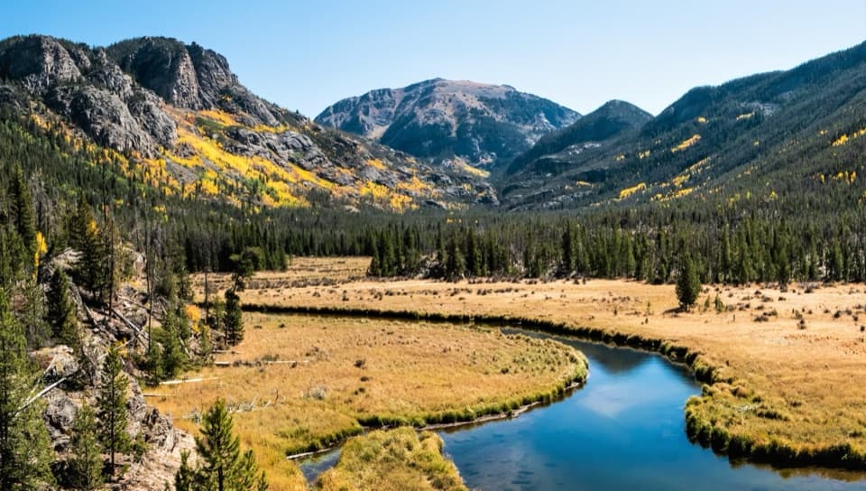 EasyEast Meadow Trail2.8 mi · 2 hr · At the trailheadA gentle creekside walk to a meadow bluff beneath Mount Craig.ChallengingSpirit Lake via East Inlet Trail15.6 mi · 12.5 hr · At the trailheadA full day from Adams Falls to the remote Spirit Lake basin.
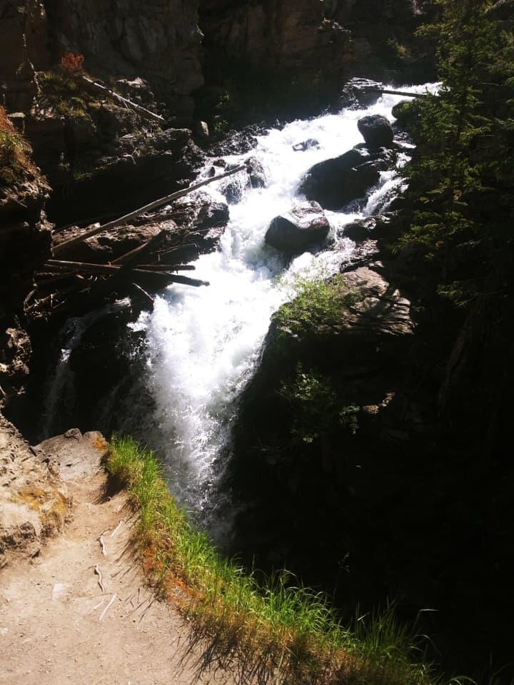 EasyAdams Falls Trail0.8 mi · 36 min · At the trailheadTwo views of a stepped waterfall in a narrow gorge.
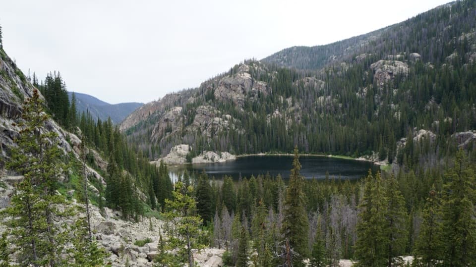 ChallengingLone Pine Lake Trail10.8 mi · 6 hr · At the trailheadA long climb through meadow to a lake below granite peaks.
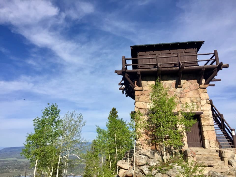 ChallengingShadow Mountain Lookout Trail9.6 mi · 4.5 hr · 1.4 mi awayA lakeside route climbs to a historic lookout closed to hikers.
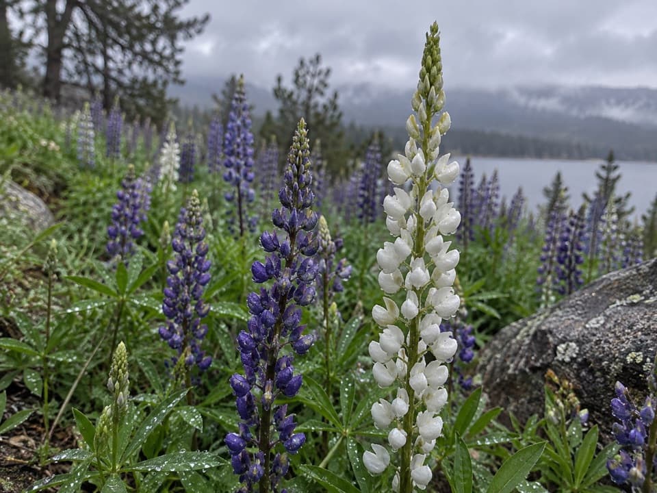 EasyEast Shore Trail5.9 mi · 3 hr · 1.4 mi awayA mellow lakeshore walk with open views over Shadow Mountain Reservoir.
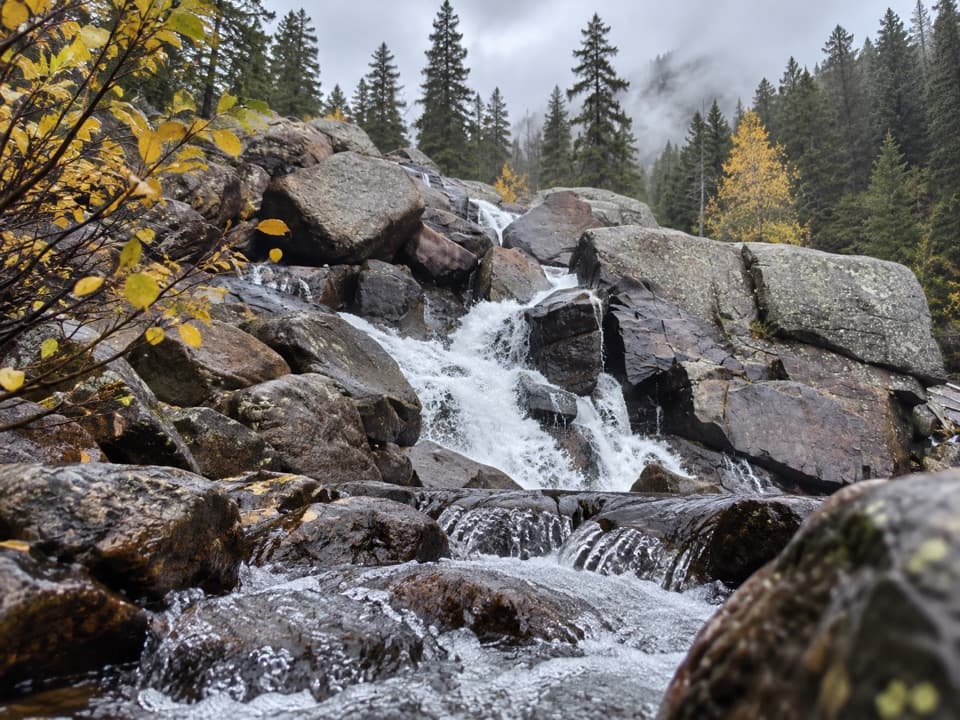 ModerateCascade Falls Trail via North Inlet7 mi · 4 hr · 1.4 mi awayA seven-mile valley walk ends at a tiered granite waterfall.Sight · 0.2 mi awayAdams FallsA short approach, with a higher view above the gorge.Sight · 1 mi awayShadow Mountain Fire LookoutA 1930s fire lookout above three lakes, reached by a long hike.
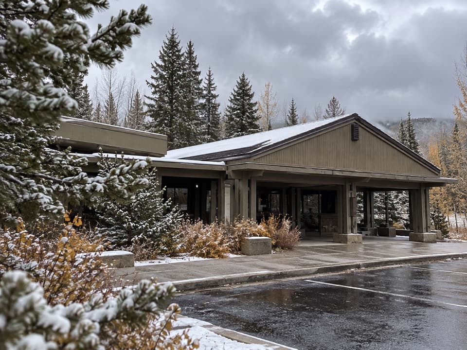 Visitor center · 2.6 mi awayKawuneeche Visitor CenterStart here for west-side maps, answers, and a park-scale preview.
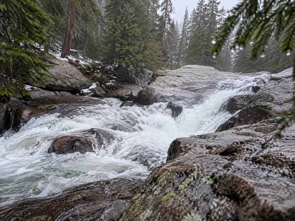 Sight · 2.9 mi awayCascade FallsA seven-mile walk brings you to a close-up granite waterfall.
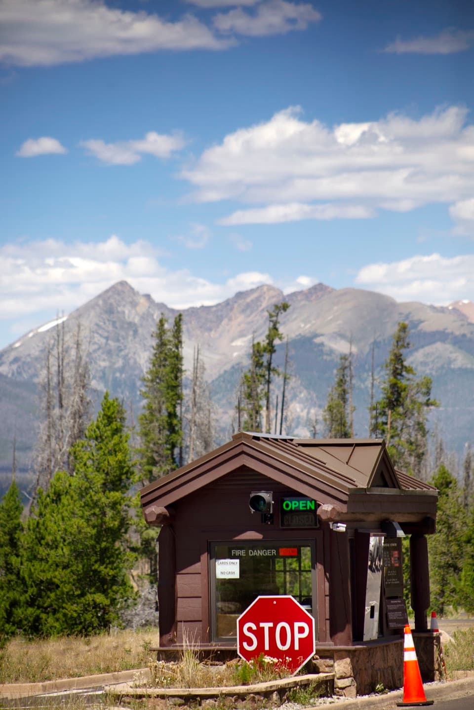 Entrance station · 2.9 mi awayGrand Lake EntranceA practical west-side gateway close to Grand Lake.
 Picnic area · 3.6 mi awayHarbison Meadows Picnic AreaSheltered picnic tables, a meadow view, and a ranching story.Sight · 3.6 mi awayLone Pine LakeAn 11-mile round trip to a granite-framed backcountry lake.Sight · 5.2 mi awayLake VernaSave a day for this narrow lake in the East Inlet valley.
Parkwolf’s Rocky Mountain ranking

The audio tour guide for the drive, plus offline maps, trails, and wildlife heatmaps for when the signal drops.




