Parking
Use the Lake Irene Picnic Area lot on Trail Ridge Road. The trail leaves from the far end beyond the picnic sites. The NPS lists eight tables and a vault/composting toilet; no food service or drinking water was found.
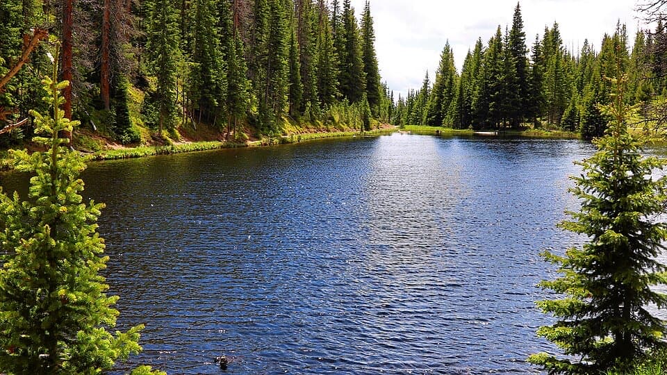
Rocky Mountain National Park, CO
A short lake loop with an optional meadow view.
Overview
Map & elevation
Plan your hike

The highest, rockiest slopes around here are a summer buffet for grizzly bears.
Rocky Mountain Tour Guide
Parkwolf is a GPS audio tour guide for Rocky Mountain National Park. As you drive, it chimes in with what’s ahead: hidden gems, upcoming stops, history, geology, and wildlife, right through your car’s speakers.
See the Rocky Mountain audio tourRecorded for this trailhead
Lake Irene: A Lakeside Picnic Break“You're nearing Lake Irene, a small lake in the spruce and fir forest beside Trail Ridge Road. This is a good place for a picnic break or a short walk away from the car.”
Plays as you drive up to this trailhead in the Parkwolf Rocky Mountain Tour Guide.
More stories near here in the app
“…No cell service for majority of the day but had continuous access to the app - the maps, the tour guide as you drive is amazing. Highly recommend purchasing the subscription.”


Trail guide
Lake Irene Trail is a short loop from Lake Irene Picnic Area around the lake and its southern Ute Trail junction. The mapped route is about 0.8 mile round trip; allow roughly 30–60 minutes. The National Park Service describes a shorter 0.5-mile lake loop. A nearby meadow-view spur is described as an extra 20–30 yards each way, bringing the longer outing closer to 0.9 mile.
From the far end of the picnic lot, the path drops to the north shore. At the first junction, keep right for the western shore and follow it south. Near the southern end, the loop turns north along the east shore; at the Ute Trail junction, take the left branch toward the lake rather than continuing down toward Fairview Curve. The route returns by a footbridge near the north end, then retraces the short approach to the lot. A couple of faint social tracks near the lake ends can be confusing, so stay on the main tread.
The small lake sits just west of the Continental Divide. A short side path is reported to open onto a meadow with distant mountain views; return to the main path if you take it. Mid-summer brings wildflowers, and the shore is lined with subalpine fir and Engelmann spruce. For a photo, frame the water between the dark trees; the meadow spur gives you a wider view across the opening.
The lake was named for a guest at Camp Wheeler, a rustic early-1900s dude ranch run by Bob Wheeler, known as “Squeaky Bob.” Across Trail Ridge Road, Sheep Rock is a separate stop; the park suggests scanning its top for bighorn sheep.
The easy grade is a nice break from bigger park hikes, but the trailhead is about 10,680 feet above sea level, so the altitude can make a short walk feel harder. Trail Ridge Road normally closes from mid-October to Memorial Day and can close sooner in extreme weather. The picnic area has eight tables and a vault/composting toilet; no food service or drinking water was found. Pets are prohibited on park trails.
Wildlife
 3,124 sightingsElkMost seen around 6 PMSighting map
 1,601 sightingsMooseMost seen around 7 PMSighting map
 19 sightingsMountain GoatMost seen around 7 AMSighting map
 19 sightingsBald EagleMost seen around 8 AMSighting map
 30 sightingsGolden EagleMost seen around 10 AMSighting map
 270 sightingsBighorn SheepMost seen around 11 AMSighting map
Sighting maps show where each species has been reported across Rocky Mountain. Wildlife moves, so no sighting is guaranteed.
Keep exploring
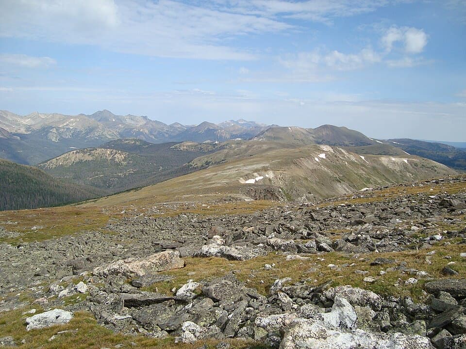 ChallengingMount Ida Trail9.6 mi · 6.5 hr · 0.6 mi awayA hard climb to a wide-open Continental Divide summit.
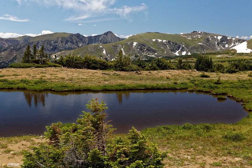 ModerateForest Canyon Pass Trail4.7 mi · 3.5 hr · 0.6 mi awayTundra ponds and canyon views reward this high-country climb.
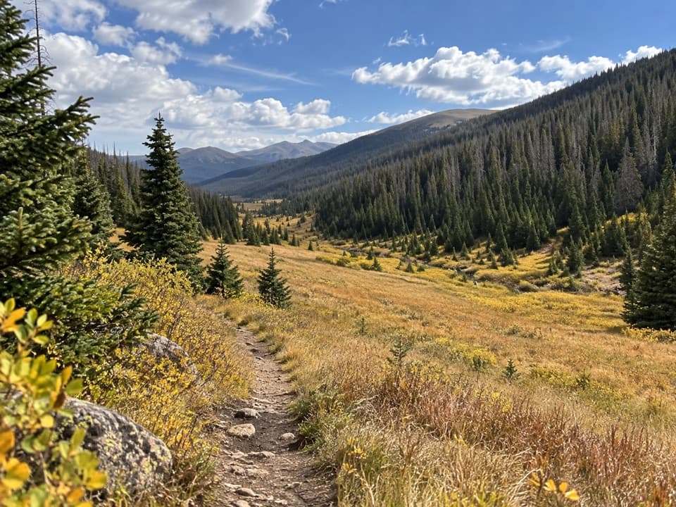 ModeratePoudre River Trail from Milner Pass6 mi · 3.5 hr · 1.1 mi awayA 6-mile headwaters out-and-back through high, wet meadows.
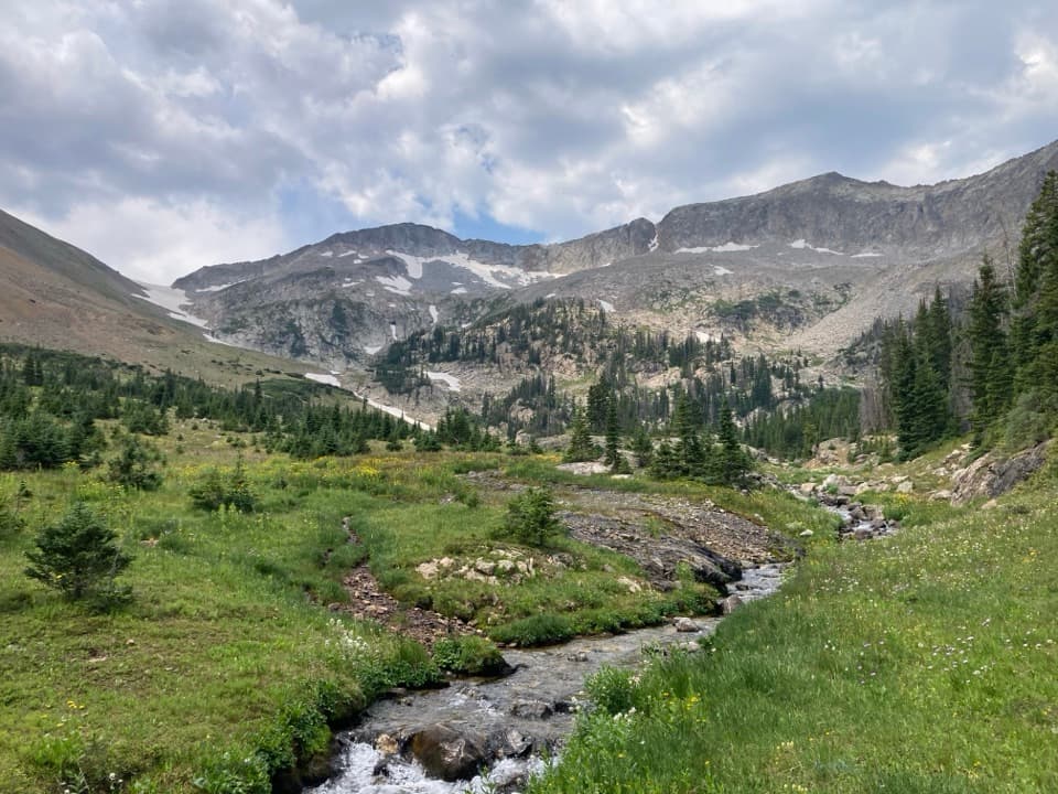 ChallengingSkeleton Gulch Trail12.4 mi · 11 hr · 1.8 mi awayA 12.4-mile out-and-back to a remote one-site camp.
 ModerateColorado River Trail to Lulu City7.4 mi · 3.5 hr · 1.8 mi awayFollow the old wagon road to a flowered mining-town site.
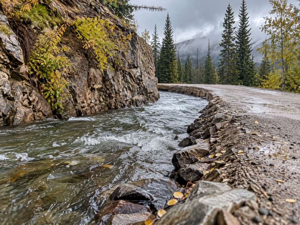 ChallengingDutch Town Trail12 mi · 10 hr · 1.8 mi awayClimb to faint mining traces below the Never Summer Range.
 ModerateRed Mountain Trail to Grand Ditch6.4 mi · 4.5 hr · 1.8 mi awayClimb to the Grand Ditch for Never Summer Range views.
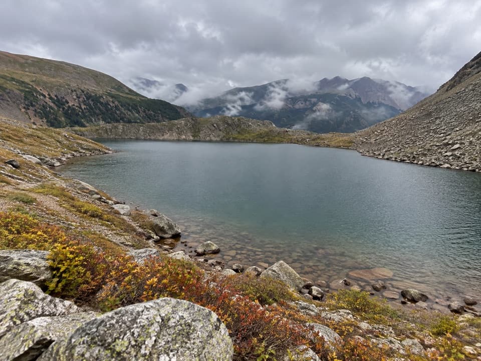 ChallengingLake of the Clouds Trail13.2 mi · 13.5 hr · 1.8 mi awayA long, rough scramble to a lake beneath the Never Summer peaks.Sight · At the trailheadLake IreneA quick lakeside loop and picnic stop on Trail Ridge Road.
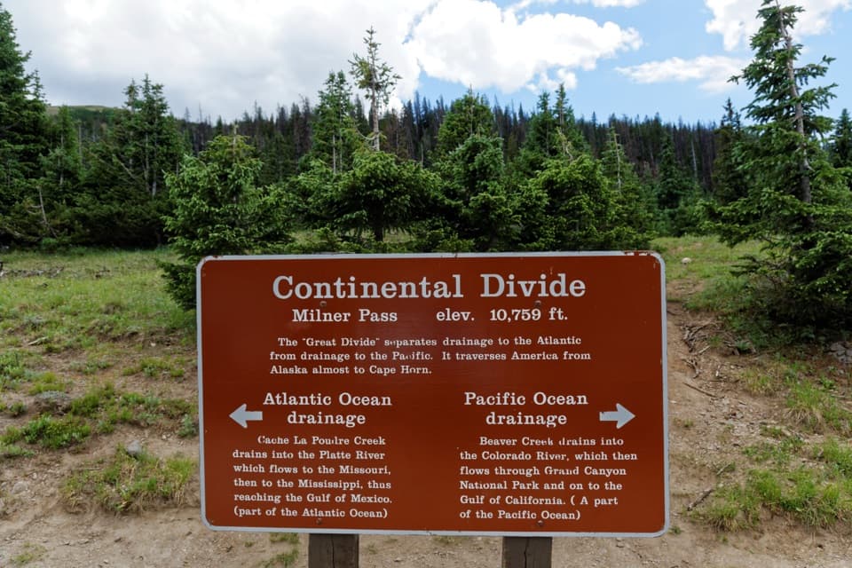 Sight · 0.6 mi awayMilner PassStand at the Continental Divide beside Poudre Lake.
 Sight · 1.3 mi awayFarview Curve OverlookThe Grand Ditch cuts a pencil line across the Never Summer Range.
 Picnic area · 2 mi awayBeaver Creek Picnic AreaA quiet meadow picnic stop with autumn elk viewing.
 Picnic area · 2.4 mi awayBeaver Ponds Picnic AreaA picnic beside two ponds, with a stairway down to the water.
 Sight · 2.7 mi awayLulu City Historic SiteA 7½-mile river walk to the park’s only platted ghost town.
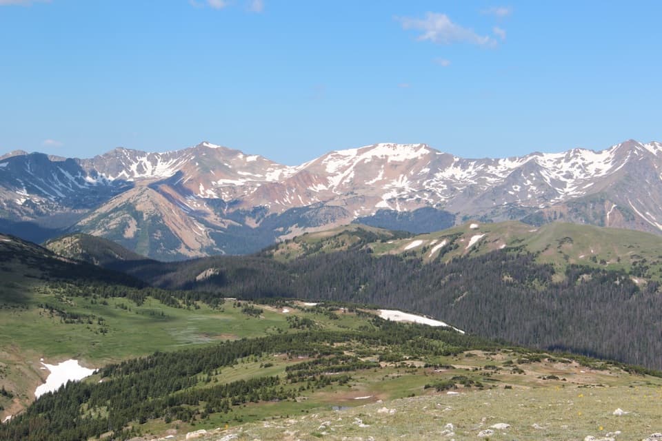 Sight · 3 mi awayGore Range OverlookCatch the Never Summer skyline without adding a hike.
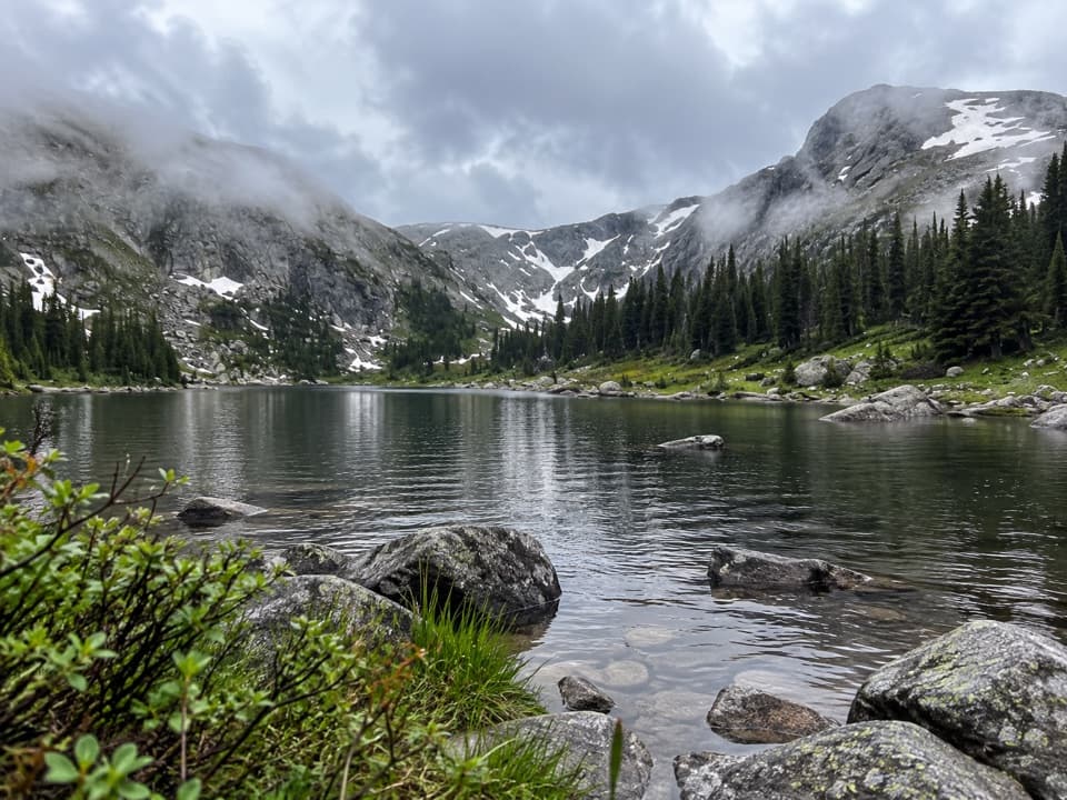 Sight · 3 mi awayTimber LakeA steep climb to a lake beneath two high peaks.
Parkwolf’s Rocky Mountain ranking

The audio tour guide for the drive, plus offline maps, trails, and wildlife heatmaps for when the signal drops.




