Parking
Start at Colorado River Trailhead on US 34, about 10.2 miles north of Kawuneeche Visitor Center. The trailhead is on the left when driving north.
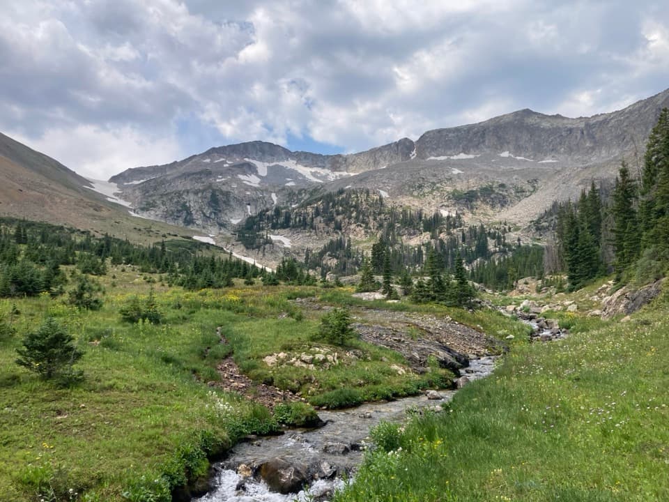
Rocky Mountain National Park, CO
A 12.4-mile out-and-back to a remote one-site camp.
Overview
Map & elevation
Plan your hike

The highest, rockiest slopes around here are a summer buffet for grizzly bears.
Rocky Mountain Tour Guide
Parkwolf is a GPS audio tour guide for Rocky Mountain National Park. As you drive, it chimes in with what’s ahead: hidden gems, upcoming stops, history, geology, and wildlife, right through your car’s speakers.
See the Rocky Mountain audio tourRecorded for this trailhead
Colorado River Trailhead: The Walk to Lulu City“Colorado River Trailhead is ahead, the start of the walk to Lulu City. Allow around four hours for roughly seven and a half miles round trip through forest and river meadows, with a short steep climb near the start.”
Plays as you drive up to this trailhead in the Parkwolf Rocky Mountain Tour Guide.
More stories near here in the app
“…No cell service for majority of the day but had continuous access to the app - the maps, the tour guide as you drive is amazing. Highly recommend purchasing the subscription.”


Trail guide
Skeleton Gulch Trail is a 12.4-mile out-and-back from Colorado River Trailhead to a single backcountry campsite in Skeleton Gulch, about 6.2 miles each way. The route follows Colorado River Trail through Lulu City, then continues along the Thunder Pass and Grand Ditch corridor before turning up the gulch to the creek-side site. It is a remote, high-elevation hike with a long approach; I’d plan it as an overnight trip unless you’re ready for a very full day.
The trail starts broad and fairly gentle, then makes a short steep climb and switchback before dropping through woods and small streams. Around 0.9 mile it reaches the Colorado River. Farther on, the route opens into marshy meadows, crosses Crater Creek, and passes the Shipler cabin remains before Lulu City. The last mile or so rises toward the old settlement.
Lulu City was a short-lived silver-mining town. By 1881 it had forty cabins and several businesses; it was abandoned by 1885, apart from Joe Shipler, who kept mining for years. Today the meadow holds foundations and scattered cabin logs, not a restored town. It’s a worthwhile pause on a hike whose real destination is still ahead.
From Lulu City, continue through the Thunder Pass and Grand Ditch corridor to the Skeleton Gulch trail. The campsite is about 1.2 miles above the ditch, in a rocky hollow beside a creek at roughly 10,600 feet. A wooden sign points to the site, and red arrowheads may mark trees along the way.
The site has one campsite and no privy. Creek water is available but must be treated, and campfires are prohibited. Overnight camping requires a wilderness permit and a hard-sided bear-resistant food canister. Pets are prohibited on park trails.
Wildlife
 3,124 sightingsElkMost seen around 6 PMSighting map
 1,601 sightingsMooseMost seen around 7 PMSighting map
 19 sightingsMountain GoatMost seen around 7 AMSighting map
 19 sightingsBald EagleMost seen around 8 AMSighting map
 30 sightingsGolden EagleMost seen around 10 AMSighting map
 270 sightingsBighorn SheepMost seen around 11 AMSighting map
Sighting maps show where each species has been reported across Rocky Mountain. Wildlife moves, so no sighting is guaranteed.
Keep exploring
 ModerateColorado River Trail to Lulu City7.4 mi · 3.5 hr · At the trailheadFollow the old wagon road to a flowered mining-town site.
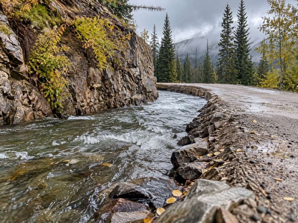 ChallengingDutch Town Trail12 mi · 10 hr · At the trailheadClimb to faint mining traces below the Never Summer Range.
 ModerateRed Mountain Trail to Grand Ditch6.4 mi · 4.5 hr · At the trailheadClimb to the Grand Ditch for Never Summer Range views.
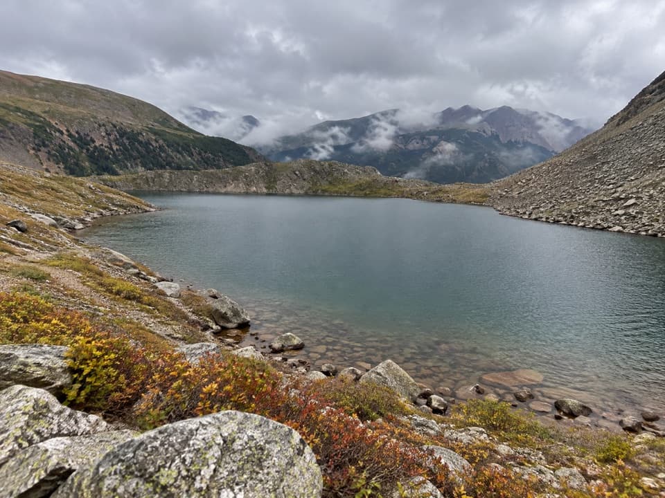 ChallengingLake of the Clouds Trail13.2 mi · 13.5 hr · At the trailheadA long, rough scramble to a lake beneath the Never Summer peaks.
 ChallengingThunder Pass Trail14 mi · 9 hr · At the trailheadA long climb links old mining remains with an open alpine pass.
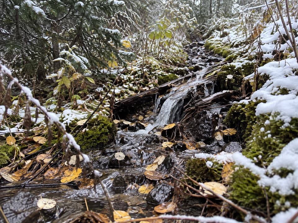 ModerateLittle Yellowstone Canyon Trail10.8 mi · 5.5 hr · At the trailheadRiverside meadows give way to a colorful canyon and a steep climb.
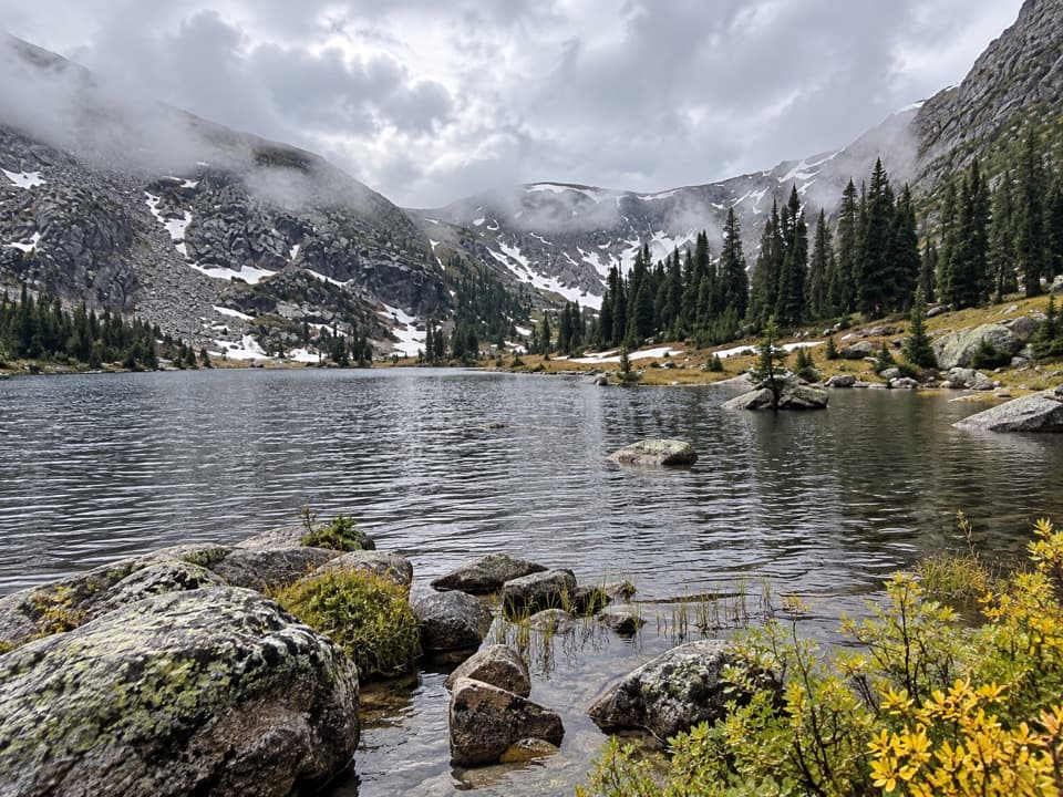 ChallengingTimber Lake Trail9.6 mi · 6.5 hr · 0.2 mi awayA steady forest climb opens into a high lake basin.
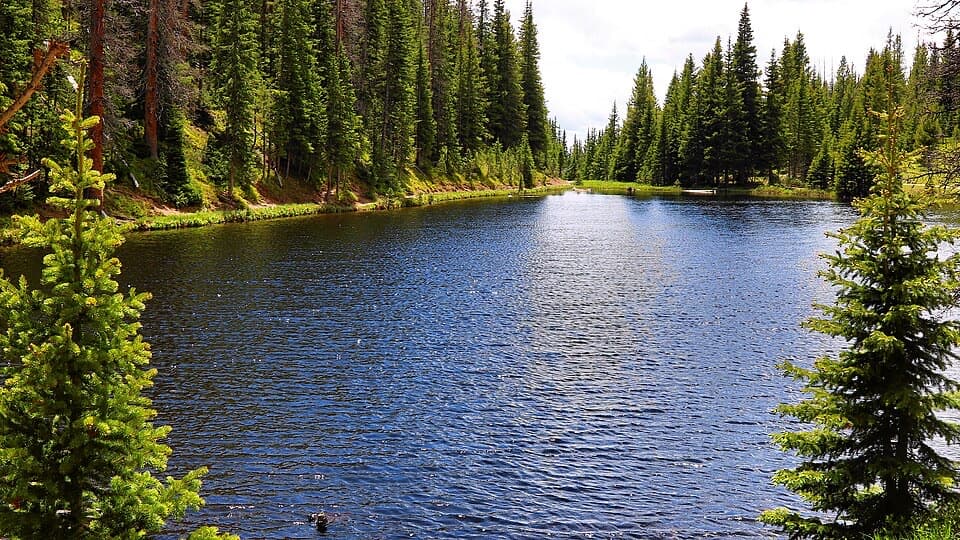 EasyLake Irene Trail0.8 mi · 45 min · 1.8 mi awayA short lake loop with an optional meadow view.
 Picnic area · 0.6 mi awayBeaver Creek Picnic AreaA quiet meadow picnic stop with autumn elk viewing.
 Sight · 0.7 mi awayFarview Curve OverlookThe Grand Ditch cuts a pencil line across the Never Summer Range.
 Picnic area · 1 mi awayBeaver Ponds Picnic AreaA picnic beside two ponds, with a stairway down to the water.
 Campground · 1.7 mi awayTimber Creek CampgroundWest-side camping at 8,900 feet, near Grand Lake.Sight · 1.8 mi awayLake IreneA quick lakeside loop and picnic stop on Trail Ridge Road.
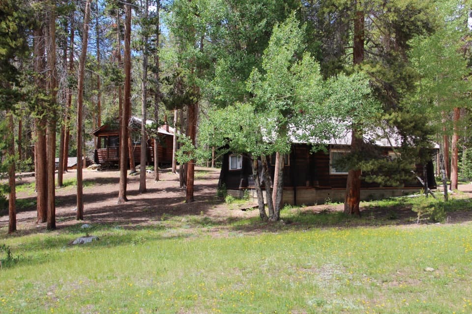 Sight · 2.1 mi awayHolzwarth Historic SiteA mile-long loop through a valley homestead and guest ranch.
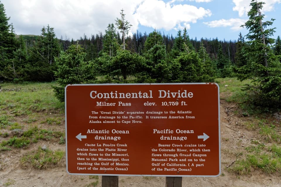 Sight · 2.3 mi awayMilner PassStand at the Continental Divide beside Poudre Lake.
 Sight · 3.1 mi awayLulu City Historic SiteA 7½-mile river walk to the park’s only platted ghost town.
Parkwolf’s Rocky Mountain ranking

The audio tour guide for the drive, plus offline maps, trails, and wildlife heatmaps for when the signal drops.




