Parking
Start at the signed Colorado River Trailhead off Trail Ridge Road. The picnic area has six tables, four fire grates and a vault/composting toilet.

Rocky Mountain National Park, CO
Follow the old wagon road to a flowered mining-town site.
Overview
The Colorado River Trail to Lulu City is a 7.4-mile out-and-back from Colorado River Trailhead to the signed townsite, 3.7 miles each way. Allow about three and a half to four hours. The valley route is easy to moderate overall, but the opening climb is briefly steep and the trail reaches nearly 9,500 feet. One current route entry gives 3.4 miles for an out-and-back; the detailed trail map puts Lulu City 3.7 miles from the trailhead, so plan on the longer walk.
 Parkwolf’s verdictIs this the history walk for you?
Map & elevation
Plan your hike

The highest, rockiest slopes around here are a summer buffet for grizzly bears.
Rocky Mountain Tour Guide
Parkwolf is a GPS audio tour guide for Rocky Mountain National Park. As you drive, it chimes in with what’s ahead: hidden gems, upcoming stops, history, geology, and wildlife, right through your car’s speakers.
See the Rocky Mountain audio tourRecorded for this trailhead
Colorado River Trailhead: The Walk to Lulu City“Colorado River Trailhead is ahead, the start of the walk to Lulu City. Allow around four hours for roughly seven and a half miles round trip through forest and river meadows, with a short steep climb near the start.”
Plays as you drive up to this trailhead in the Parkwolf Rocky Mountain Tour Guide.
More stories near here in the app
“…No cell service for majority of the day but had continuous access to the app - the maps, the tour guide as you drive is amazing. Highly recommend purchasing the subscription.”


Trail guide
The route follows the old Grand Lake–Lulu City wagon road. After roughly a tenth of a mile, a short, stiff rise eases. At the Red Mountain Trail junction near the half-mile mark, continue straight for Lulu City. The path is broad through spruce and lodgepole pine at first, then reaches the Colorado River around mile one. Beyond the river it gets rougher as it climbs up-valley, with aspen groves and meadows opening toward the Never Summer Mountains.
Around mile 1.8, look below the path for a rusting mining car and tailings. Near mile 2.2, the route crosses Crater Creek by footbridge; Shipler Cabin remains are roughly 100 yards beyond and about 20 yards off the trail, so they are easy to pass. At the signed Lulu City turn, the path drops toward a flowered clearing. Very little of the town is obvious now. Stay on the established trail instead of following faint paths around the site. For a photo, include the open meadow and Lulu Mountain; the cabin remnants are subtle.
Lulu City began in 1879 after prospector Joe Shipler found silver. As many as 500 prospectors came through, but the mines produced low-grade gold, silver and lead, and the nearest smelters were more than 100 wagon miles away. The town faded within about four years. It was named for Lulu, the daughter of founder Benjamin Franklin Burnett; it once had a hotel, post office and justice of the peace. The wagon-road alignment became the town's main street, and the tailings and cabin traces are the clearest reminders along the walk.
If the townsite is too long a commitment, a simple walk of about half a mile reaches the Colorado River from the trailhead. The starting picnic area has six tables, four fire grates and a vault/composting toilet. No food or potable water is listed at the trailhead or along the route, so carry what you need. Elk, moose, coyotes and foxes use the valley, but sightings are never guaranteed; give wildlife room. Pets are prohibited on park trails.
Wildlife
 3,124 sightingsElkMost seen around 6 PMSighting map
 1,601 sightingsMooseMost seen around 7 PMSighting map
 19 sightingsMountain GoatMost seen around 7 AMSighting map
 19 sightingsBald EagleMost seen around 8 AMSighting map
 30 sightingsGolden EagleMost seen around 10 AMSighting map
 270 sightingsBighorn SheepMost seen around 11 AMSighting map
Sighting maps show where each species has been reported across Rocky Mountain. Wildlife moves, so no sighting is guaranteed.
Keep exploring
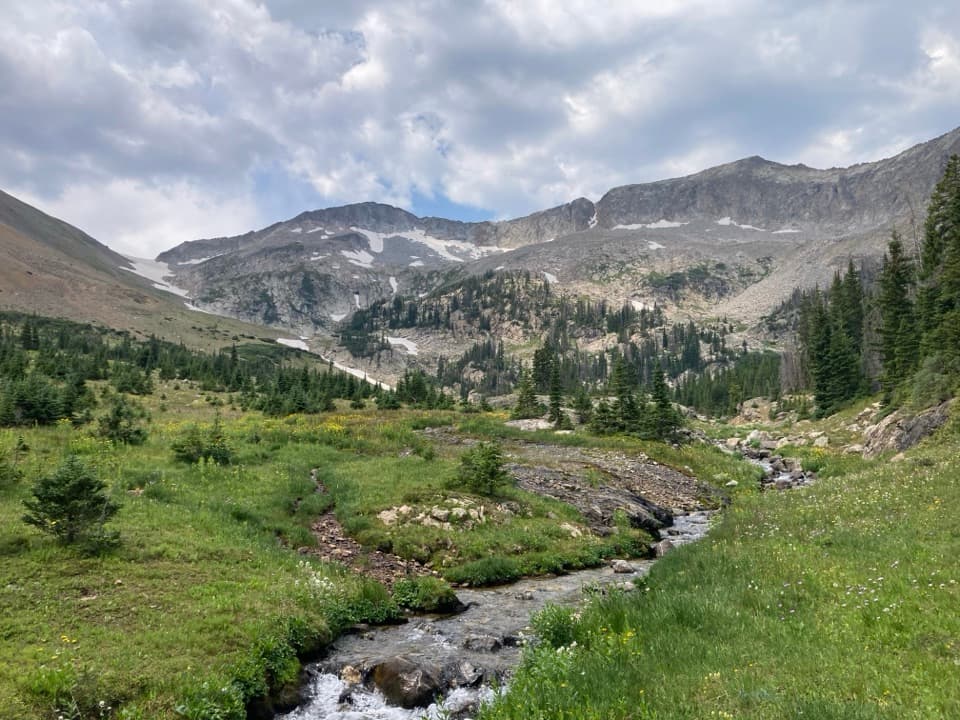 ChallengingSkeleton Gulch Trail12.4 mi · 11 hr · At the trailheadA 12.4-mile out-and-back to a remote one-site camp.
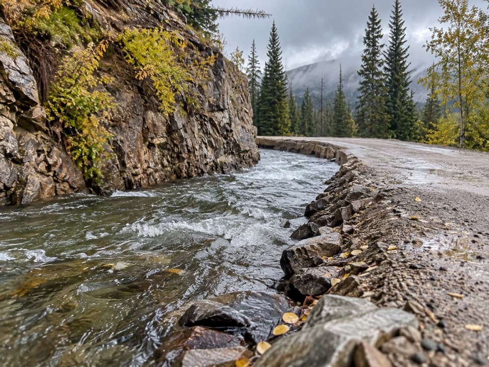 ChallengingDutch Town Trail12 mi · 10 hr · At the trailheadClimb to faint mining traces below the Never Summer Range.
 ModerateRed Mountain Trail to Grand Ditch6.4 mi · 4.5 hr · At the trailheadClimb to the Grand Ditch for Never Summer Range views.
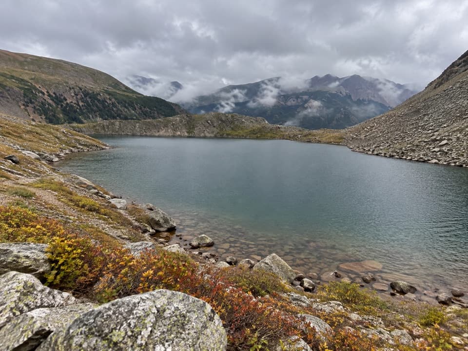 ChallengingLake of the Clouds Trail13.2 mi · 13.5 hr · At the trailheadA long, rough scramble to a lake beneath the Never Summer peaks.
 ChallengingThunder Pass Trail14 mi · 9 hr · At the trailheadA long climb links old mining remains with an open alpine pass.
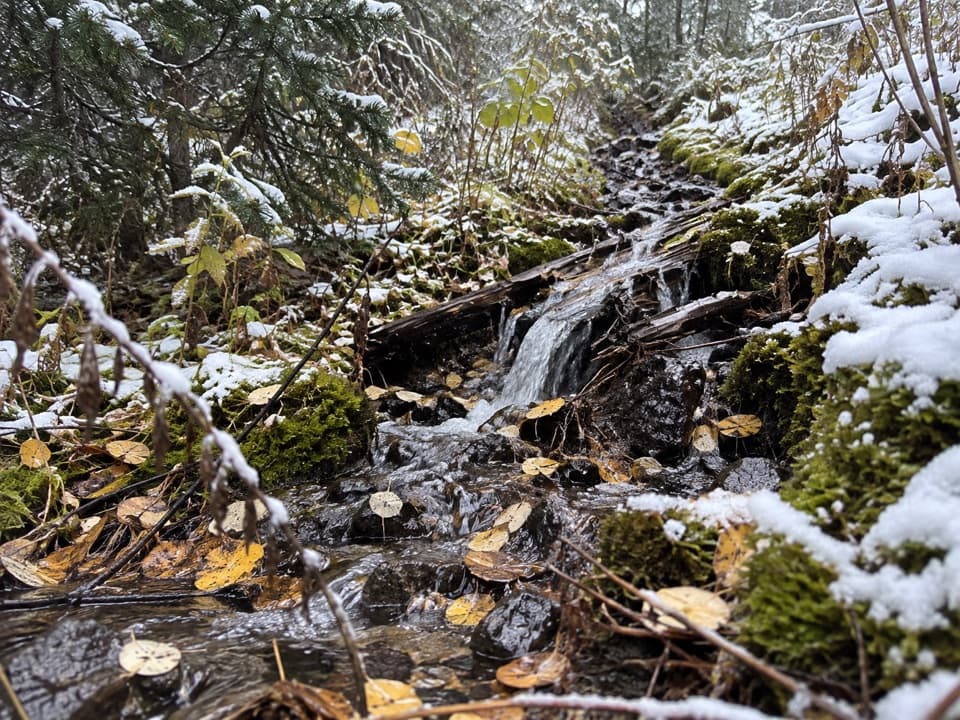 ModerateLittle Yellowstone Canyon Trail10.8 mi · 5.5 hr · At the trailheadRiverside meadows give way to a colorful canyon and a steep climb.
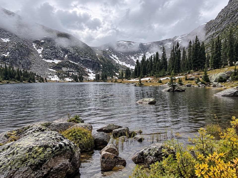 ChallengingTimber Lake Trail9.6 mi · 6.5 hr · 0.2 mi awayA steady forest climb opens into a high lake basin.
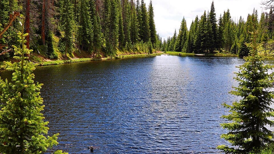 EasyLake Irene Trail0.8 mi · 45 min · 1.8 mi awayA short lake loop with an optional meadow view.
 Picnic area · 0.6 mi awayBeaver Creek Picnic AreaA quiet meadow picnic stop with autumn elk viewing.
 Sight · 0.7 mi awayFarview Curve OverlookThe Grand Ditch cuts a pencil line across the Never Summer Range.
 Picnic area · 1 mi awayBeaver Ponds Picnic AreaA picnic beside two ponds, with a stairway down to the water.
 Campground · 1.7 mi awayTimber Creek CampgroundWest-side camping at 8,900 feet, near Grand Lake.Sight · 1.8 mi awayLake IreneA quick lakeside loop and picnic stop on Trail Ridge Road.
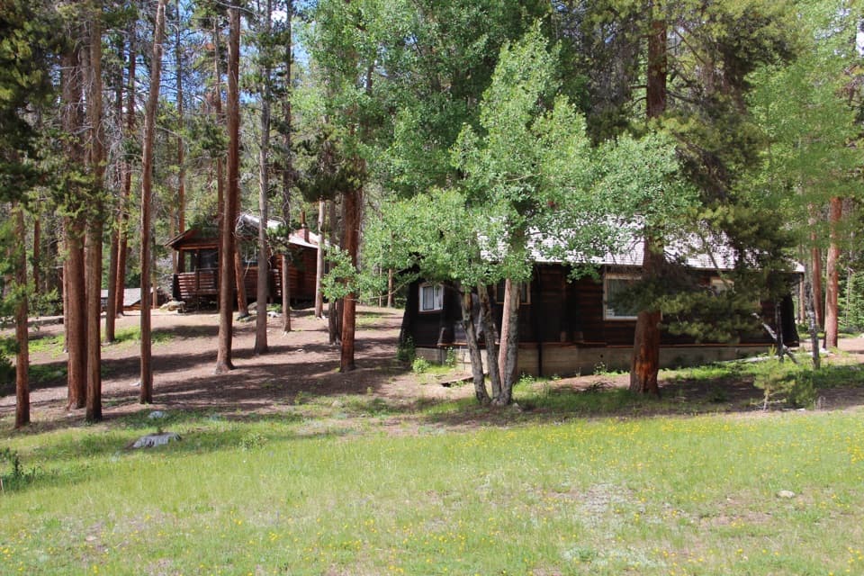 Sight · 2.1 mi awayHolzwarth Historic SiteA mile-long loop through a valley homestead and guest ranch.
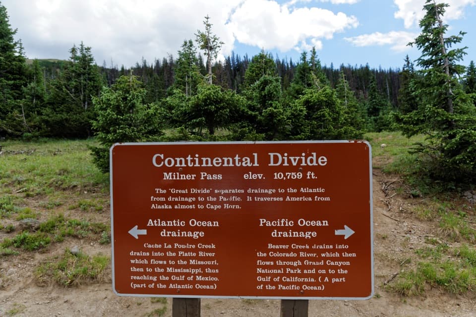 Sight · 2.3 mi awayMilner PassStand at the Continental Divide beside Poudre Lake.
 Sight · 3.1 mi awayLulu City Historic SiteA 7½-mile river walk to the park’s only platted ghost town.
Parkwolf’s Rocky Mountain ranking
The audio tour guide for the drive, plus offline maps, trails, and wildlife heatmaps for when the signal drops.




