Pros & cons
PROS
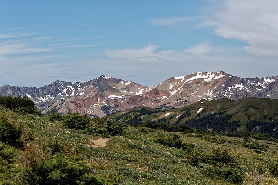
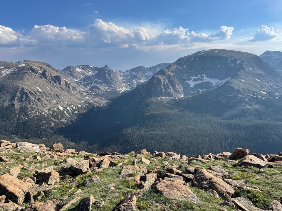
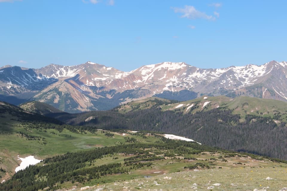
- Big alpine views of the Gore Range, Never Summer, and Longs Peak
- Quick stop with a short paved sidewalk and multiple vantage points
- Good chance to spot elk and marmots in tundra habitat
CONS
- No restrooms at the pullout
- Parking can be tight midday in peak season
- Rapid weather shifts and strong wind at ~12,000 feet
Overview
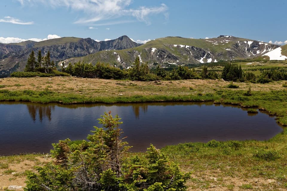
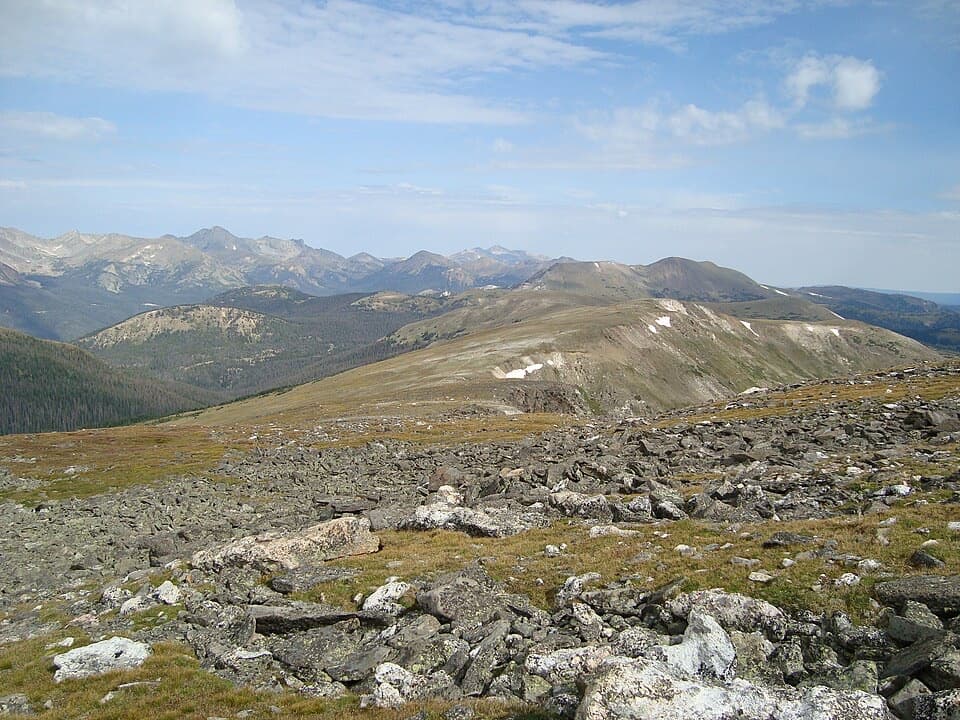
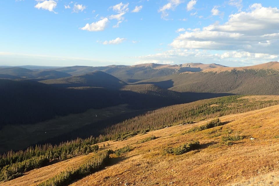
Perched along Trail Ridge Road at roughly 12,000 feet, Gore Range Overlook is a classic high-alpine pullout that delivers huge views with minimal effort. From the short paved sidewalk, you can scan the distant Gore Range, the Never Summer Mountains, and even pick out Longs Peak on clear days. It’s the kind of stop that makes the drive worth it—five minutes here can feel like a full alpine experience.
What You’ll See
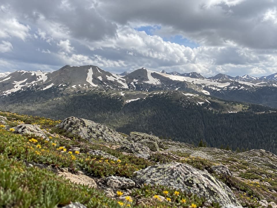
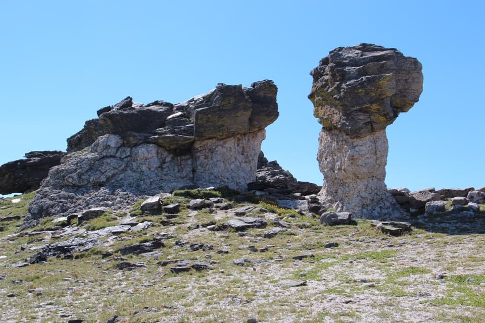
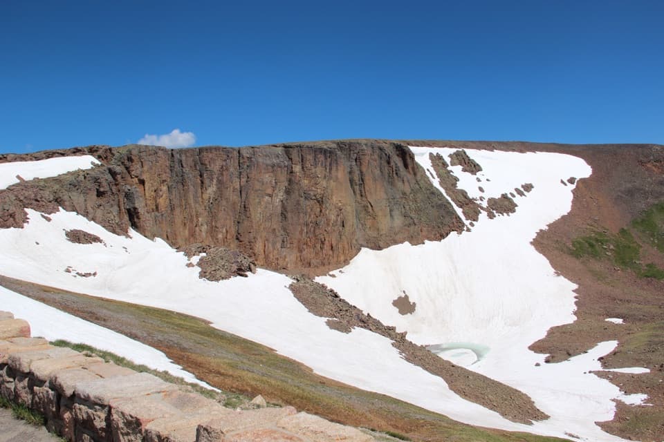
Walk the full length of the sidewalk for different angles: broad panoramas toward the Gore Range, the depth of Forest Canyon, and profiles of nearby summits like Specimen and Lulu Mountain. You’re looking over a landscape sculpted by ice—U‑shaped valleys, cirques, and moraines are all part of the story—and underfoot is true tundra: hardy alpine plants, weathered rock, and big sky.
Wildlife
This is prime turf for tundra regulars. Elk wander these slopes, and marmots and pikas often whistle from the rocks. Enjoy the sightings but keep your distance and never feed wildlife—roadside pullouts can bring animals closer than you expect.
Logistics and Seasonality
Trail Ridge Road typically closes from mid‑October to around Memorial Day; weather can also shut things down anytime. In the main season, the park uses timed‑entry reservations—check your date and corridor before you go. The pullout has a medium amount of parking that fills midday when the road is busiest. There are no restrooms here; plan a stop at Alpine Visitor Center, Rock Cut, or Milner Pass. Pets are limited to the parking area.
Safety and Altitude
At this elevation, even a short stroll can leave you winded. If you feel headache, nausea, or dizziness, take it easy—hydration and descending help. Expect intense sun, frequent wind, and a real chance of afternoon thunderstorms. Pack layers, sun protection, and step away from exposed areas if lightning threatens.
Photography Tips
Mornings tend to be calmer with softer side‑light and fewer people. Late afternoon can paint the Gore Range in warm tones, but storm chances increase. Work the whole path for variety—wide panoramas toward the Gore Range, the yawning drop of Forest Canyon, and layered ridgelines that pop in directional light.
Best Time to Visit
- Weekdays and early hours are the sweet spot for parking and tranquility.
- If you’re driving west to east, starting early from the Grand Lake side often means lighter traffic and easy pull‑ins.
- For golden light, late day can be gorgeous—go only if weather looks stable.
- Peak summer is busiest; shoulder season days when the road is open can feel quieter.
Worth the Stop?
Absolutely. It’s a fast, high‑reward overlook that showcases the park’s tundra and distant ranges without committing to a long hike. If you’re doing Trail Ridge Road, don’t skip it.
Where it is
40.4327, -105.7684Tips for Gore Range Overlook
- 01Arrive early or start from the Grand Lake side to beat traffic and parking crunches.
- 02Check Trail Ridge Road status and timed-entry requirements before you go.
- 03Bring layers, sun protection, and be prepared for strong wind and sudden storms.
- 04Plan restroom breaks at Alpine Visitor Center, Rock Cut, or Milner Pass—none here.
- 05Walk the full sidewalk for varied compositions of the Gore Range and Forest Canyon.
Amenities
Near Gore Range Overlook
All places →All trails →
0.9 mi awayFall River PassWindswept alpine pass with big views and the high Alpine Visitor CenterVisitor Center · Restroom
0.9 mi awayFall River Pass Historic ShelterStone alpine wayside beside Alpine Visitor Center with big tundra viewsExhibit · Parking
0.9 mi awayAlpine Visitor CenterHigh-alpine hub with tundra views, a café, and a quick summit walkVisitor Center · Restroom
0.9 mi awayAlpine Ridge TrailShort, stair-steep climb to 12,005-foot tundra panoramas.Easy · 0.6 mi · 20 min
1 mi awayLava Cliffs OverlookRoadside view of ancient lava cliffs and high alpine tundraPullout · Parking
2 mi awayChapin–Chiquita–Ypsilon (CCY)Triple-summit ridge walk with big tundra views and real weather.Challenging · 8.4 mi · 7.5 hr
2 mi awayChapin Pass TrailHigh-alpine tundra stroll with big views and a quiet summit optionChallenging · 4 mi · 2.7 hr
2 mi awayMount ChapinShort high elevation climb to big tundra views without all day effortChallenging · 4 mi · 2.7 hr