Parking
Use the Sandbeach Lake Trailhead parking area just inside the Wild Basin entrance station. The lot is small and can fill early.

Rocky Mountain National Park, CO
A high-country climb to a broad sandy shore and alpine views.
Overview
Sandbeach Lake Trail is an 8.7-mile out-and-back from Sandbeach Lake Trailhead in Wild Basin to the broad sandy north shore of Sandbeach Lake. Allow about five to six hours; the route gains about 2,020 feet and starts around 8,345 feet. This is a hard, high-altitude day hike, not a short lake stroll. I'd choose it when the beach and views of Mount Copeland and St. Vrain Mountain are worth most of a day.
 Parkwolf’s verdictIs this the hike for you?
Map & elevation
Plan your hike

The highest, rockiest slopes around here are a summer buffet for grizzly bears.
Rocky Mountain Tour Guide
Parkwolf is a GPS audio tour guide for Rocky Mountain National Park. As you drive, it chimes in with what’s ahead: hidden gems, upcoming stops, history, geology, and wildlife, right through your car’s speakers.
See the Rocky Mountain audio tourRecorded for this trailhead
Sandbeach Lake Trailhead and a Copeland Lake Picnic“You're approaching Sandbeach Lake Trailhead, the start of a full-day hike to a broad sandy lakeshore.”
Plays as you drive up to this trailhead in the Parkwolf Rocky Mountain Tour Guide.
More stories near here in the app
“…No cell service for majority of the day but had continuous access to the app - the maps, the tour guide as you drive is amazing. Highly recommend purchasing the subscription.”


Trail guide
The first third-mile climbs through ponderosa pine to a crest near Copeland Moraine. The grade eases for a stretch as the trail contours below the ridge, with openings into the North St. Vrain Creek valley and aspen groves along the way. Those easier middle miles make a welcome breather, but the route never turns into a flat walk. The high starting elevation makes every climb count.
Around mile 1.3, at the Meeker Park trail junction, continue toward Sandbeach Lake. The path follows lower Lookout Mountain, passing Hole-in-the-Wall and Campers Creek before Beaver Mill. It crosses Hunters Creek a little beyond 3.5 miles from the trailhead, then climbs through forest toward the lake campground and north shore. Save energy for that final stretch instead of treating the early ridge as the whole climb.
The turnaround is a broad sandy beach at the lake's north shore. Mount Copeland rises to the southwest, with St. Vrain Mountain to the south. Take a real break here; the shore makes a distinctive foreground for views across the water. The lake is the payoff for a long approach, so leave yourself enough time to enjoy it before walking the same trail back.
Sandbeach Lake was once held behind a rock-and-dirt dam. After the 1982 Lawn Lake dam failure, the park removed the Sandbeach and Pear Lakes dams in 1988 and regraded the ground. Greenback cutthroat trout were reintroduced to Sandbeach Lake after the dam was removed, and the shore is being allowed to recover naturally.
Use the Sandbeach Lake Trailhead parking area just inside the Wild Basin entrance station. The lot is small and can fill early. Pets are prohibited on park trails, including this one; leashed pets are limited to designated roads, parking areas, campgrounds, and picnic areas.
Wildlife
 3,124 sightingsElkMost seen around 6 PMSighting map
 1,601 sightingsMooseMost seen around 7 PMSighting map
 19 sightingsMountain GoatMost seen around 7 AMSighting map
 19 sightingsBald EagleMost seen around 8 AMSighting map
 30 sightingsGolden EagleMost seen around 10 AMSighting map
 270 sightingsBighorn SheepMost seen around 11 AMSighting map
Sighting maps show where each species has been reported across Rocky Mountain. Wildlife moves, so no sighting is guaranteed.
Keep exploring
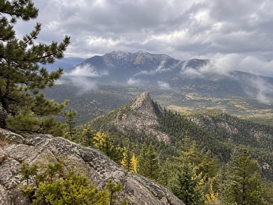 ChallengingLookout Mountain Trail4.7 mi · 4 hr · 1.2 mi awayA steep forest climb ends at a class 3 summit block.
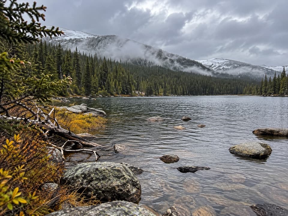 ChallengingFinch Lake Trail8.6 mi · 7.5 hr · 1.6 mi awayClimb through the old burn to a pine-framed subalpine lake.
 ChallengingPear Lake Trail12.8 mi · 8.5 hr · 1.6 mi awayClimb past Finch Lake and the Ouzel burn scar to Pear Lake.
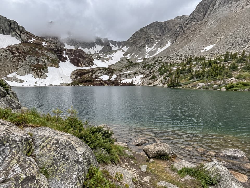 ChallengingHutcheson Lakes Trail17 mi · 11 hr · 1.6 mi awayA hard lake hike that leaves maintained trail at Pear.
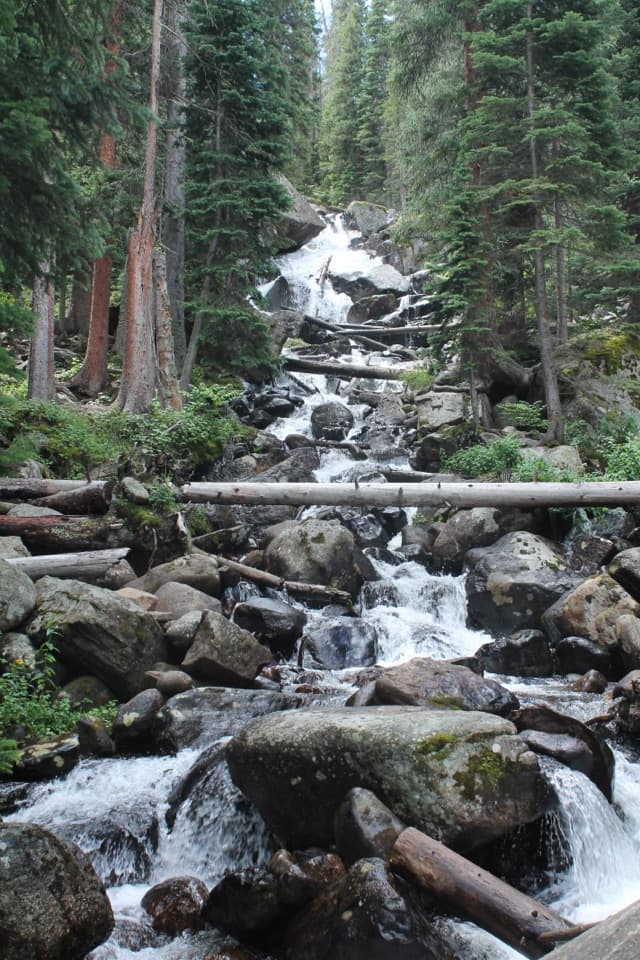 ModerateCalypso Cascades Trail3.6 mi · 2.5 hr · 1.8 mi awayTwo Copeland Falls come before a much taller cascade.
 ChallengingOuzel Lake Trail9.8 mi · 6.5 hr · 1.8 mi awayThree waterfalls punctuate the long climb to Ouzel Lake.
 ModerateFinch Lake via Allenspark Trail7.3 mi · 4 hr · 1.8 mi awayA long forest climb reaches Finch Lake from Allenspark.
 ChallengingThunder Lake Trail13.6 mi · 6 hr · 1.9 mi awayWaterfalls and creek cascades break up the climb to a high lake.
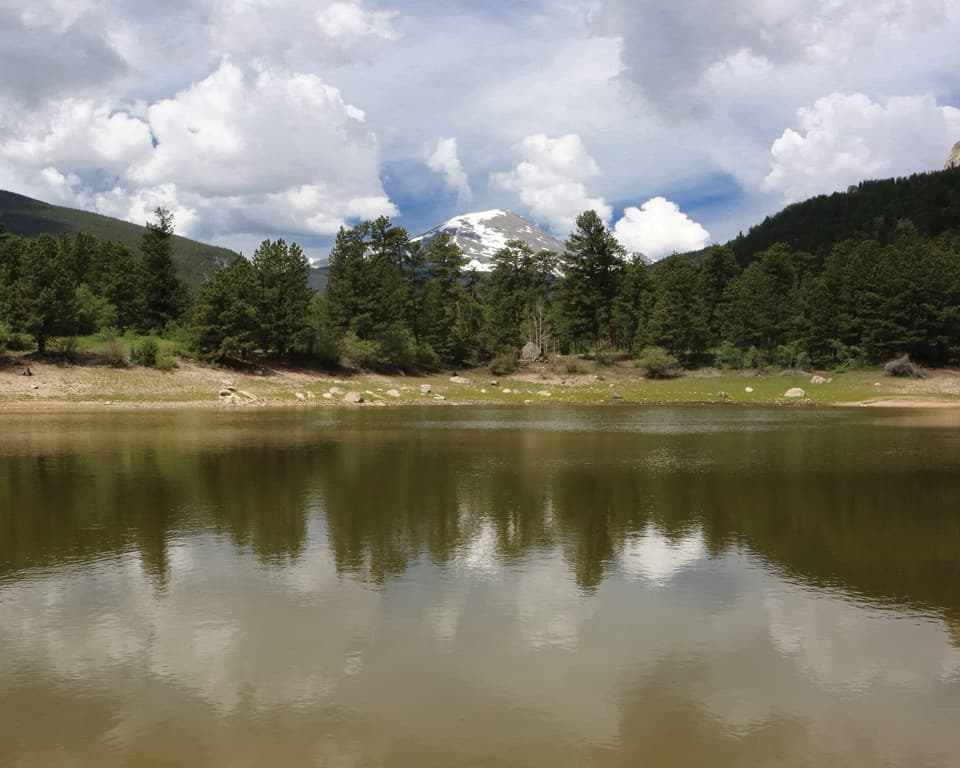 Picnic area · 0.2 mi awayCopeland Lake Picnic AreaA lakeside picnic stop beside the Sandbeach Lake trailhead
 Sight · 2 mi awayCopeland FallsTwo small cascades make a quick creekside detour in Wild Basin.
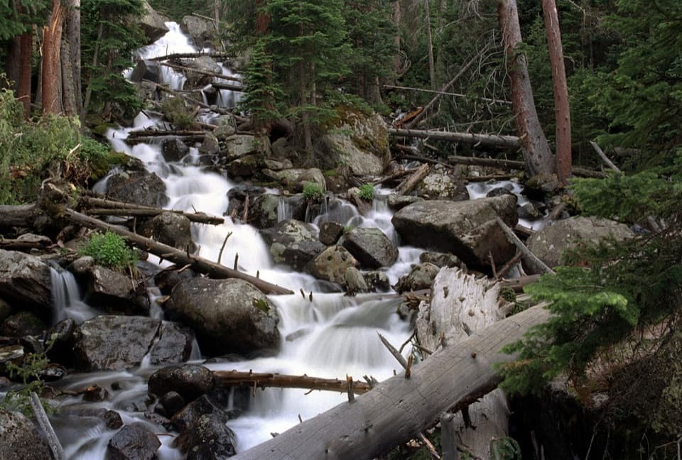 Sight · 3.4 mi awayCalypso CascadesSpring runoff turns this boulder-and-log waterfall into a roar.Sight · 3.5 mi awaySandbeach LakeSandy lakeshore, peak views, and a 1,970-foot climb.
 Sight · 3.8 mi awayOuzel FallsCopeland and Calypso Cascades come before the 40-foot finale.
 Sight · 3.9 mi awayFinch LakeA shallow backcountry lake reached by a long Wild Basin hike.
 Campground · 4 mi awayLongs Peak CampgroundA simple tent camp for an early Longs Peak start.
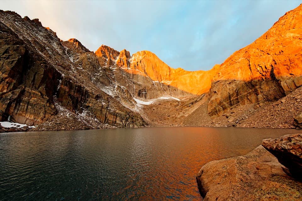 Sight · 4.6 mi awayChasm LakeA high alpine lake under Longs Peak, reached by a hard hike.
Parkwolf’s Rocky Mountain ranking
The audio tour guide for the drive, plus offline maps, trails, and wildlife heatmaps for when the signal drops.




