
Place · 0 mi away
Challenging
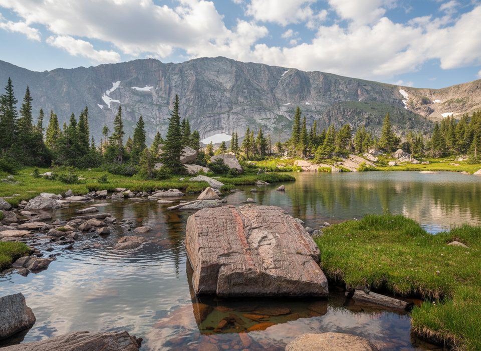
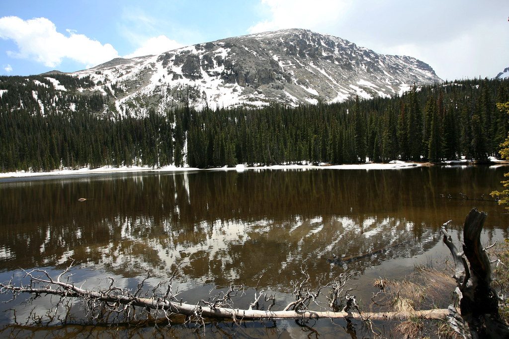
Thunder Lake is a classic Wild Basin objective: a long, mostly forested approach that saves the jaw‑drop for the end. Plan on 13.6 miles total via the main waterfalls route (or about 11.7 miles if you take the steeper campsite cutoff). Expect roughly 2,100–2,250 feet of climbing to a subalpine basin at about 10,570 feet, with the Continental Divide and peaks like Mount Alice, Tanima Peak, and Pilot Mountain towering above. The historic Thunder Lake Patrol Cabin sits near the shore.
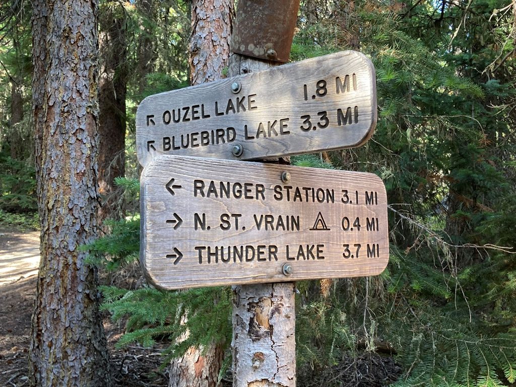
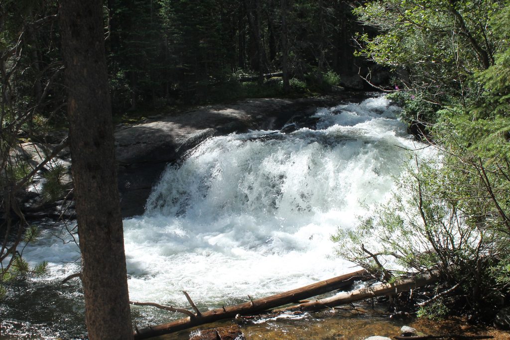
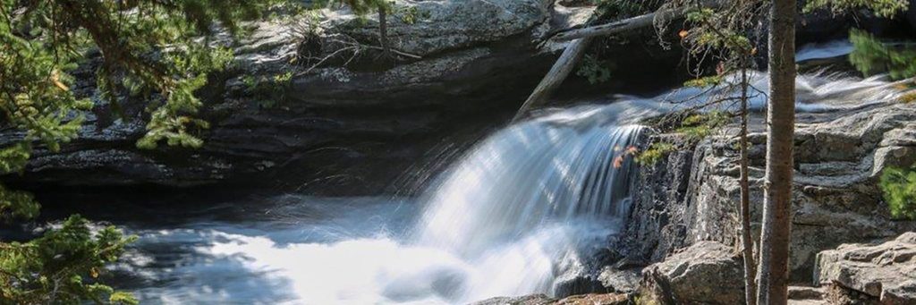
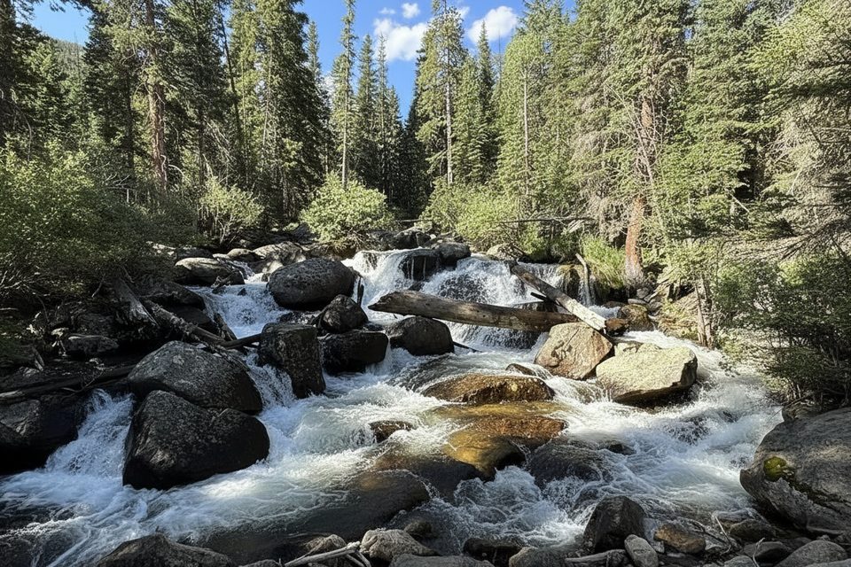
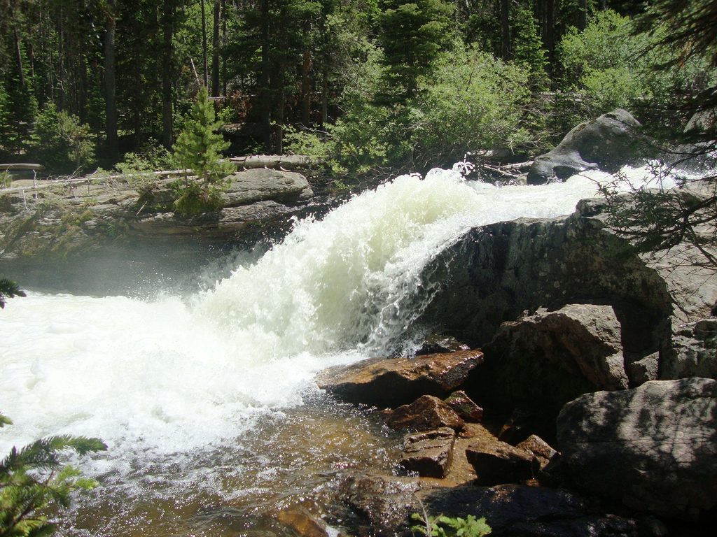
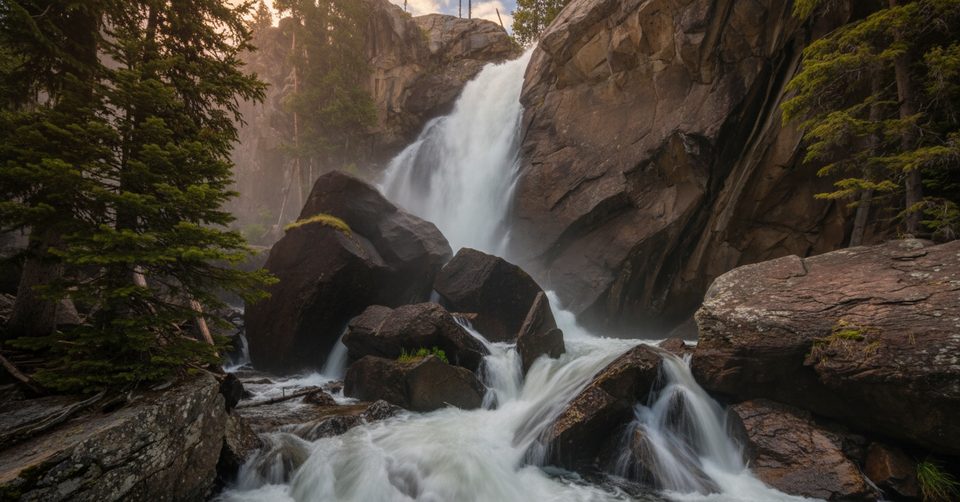
Start at the Wild Basin Trailhead off Highway 7. Early miles roll through cool, conifer forest with quick side peeks to Lower and Upper Copeland Falls, then the trail threads past Calypso Cascades and Ouzel Falls before turning up the Thunder Lake Trail. If you want to trim distance and crowds, a signed “campsite cutoff” splits off near the North St. Vrain bridge—steeper, less scenic, but it can save around 1–2 miles round‑trip. Most of the middle miles are shaded with limited views; the scenery opens near treeline as you approach the lake. The trailhead sits around 8,500 feet and the high point tops out near 10,675 feet.
This is a workout—steady grades, a few tougher pitches, and altitude that makes everything feel spicier. The tradeoff for the big alpine payoff is that much of the approach is in the trees. If you’re after waterfalls and a mellow day, turn around at Ouzel Falls; if you want the high‑country show, keep grinding to the lake.
Thunder Lake has designated backcountry sites (individual, group, and stock). No campfires—stoves only. Bear‑resistant canisters are required in season, and you’ll need to treat all water. Strong parties often tack on Lake of Many Winds or push toward Boulder–Grand Pass from the lake; those extensions are steep, sometimes faint, and demand good conditions and route sense.
Parking is at the Wild Basin Trailhead via a short dirt road. The lot is limited and the road can close when full—arrive early. In peak season, timed‑entry reservations are required during daytime windows. Cell service is unreliable throughout Wild Basin; download an offline map before you lose bars.
Late spring through fall is the window, with snow lingering early most years. Summer afternoons bring regular thunderstorms—start early and aim to be off exposed areas by early afternoon. Mosquitoes can be pesky in mid‑summer around water; bring repellent. This route is not recommended as a winter objective due to snow and conditions.
Stay on durable surfaces, pack out all trash, and respect the quiet feel of Wild Basin. If you’re camping, know your exact site location, store all food and smellables properly, and follow all current regulations.
Park at Wild Basin Trailhead off Highway 7 via Wild Basin Road (short dirt drive). Small lot; arrive early—area may close when full. Timed‑entry reservations required in peak season daytime windows.
Long day at altitude with unreliable cell service and frequent summer storms; the campsite cutoff is steeper and tough on knees; not recommended in winter; no campfires and bear canisters required if camping.
Place · 0 mi away
Place · 0.1 mi away
Place · 0.1 mi away
Place · 0.1 mi away
Moderate · 0 mi away
Moderate · 0 mi away
Challenging · 0 mi away
Moderate · 0 mi away

Parkwolf Tour Guide
