Ouzel Falls

Shady creekside hike to a 40‑foot waterfall with stops en route
Ouzel Falls, Rocky Mountain National Park
InsideRocky Mountain National Park

Overview

If you’re chasing waterfalls, this is your hike. Ouzel Falls caps a classic out-and-back from the Wild Basin Trailhead, threading along North St. Vrain Creek under steady shade. It’s moderate, scenic, and delivers multiple water features before the main event.

  • Distance/Gain: about 5.4 miles round-trip with roughly 900–980 feet of gain.
  • Route: Out-and-back from Wild Basin Trailhead.
  • Vibe: Generally calmer than Bear Lake Road, but still popular—start early.

What You’ll See

You’ll follow the river the whole way, with crescendoing stops:

  • Copeland Falls (~0.3 miles): a wide, lively cascade split into upper and lower sections.
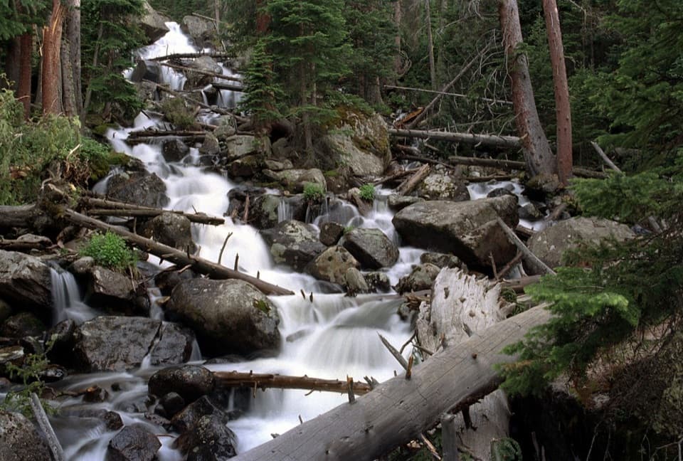
  • Calypso Cascades (~1.8 miles): a chaotic tangle of tumbling water with a wooden bridge viewpoint.
  • Ouzel Falls (~2.7 miles): the 40‑foot finale plunging through rock—there’s a short side path near the bridge to get closer. Rocks are slick; use care.

Expect a cool, forested trail, rushing water soundtrack, spring/summer wildflowers, and solid wildlife potential typical of Wild Basin’s riparian corridor.

Trail Conditions & Safety

The path is well-kept and mostly gradual, with some rocky/steeper stretches near the water features. Bridges and creekside sections can be slick. Colorado weather changes fast—summer thunderstorms routinely pop up in the afternoon. Aim to be back by noon if skies are building. Pets are not allowed on this trail. When it’s muddy, walk through the mud rather than widening the trail.

Logistics

  • Parking: The small Wild Basin lot and roadside overflow fill quickly—arrive early.
  • Facilities: Vault toilets at the trailhead; no potable water or concessions—pack what you need.
  • Permits/Fees: Timed-entry permits are typically required between 9 a.m. and 3 p.m. in peak season; standard park entrance fees apply.
  • Connectivity: Cell service is spotty to nonexistent—download offline maps.

Seasons

  • Late spring–summer: Peak runoff (June–July) makes the waterfalls roar; bring bug spray and rain layers.
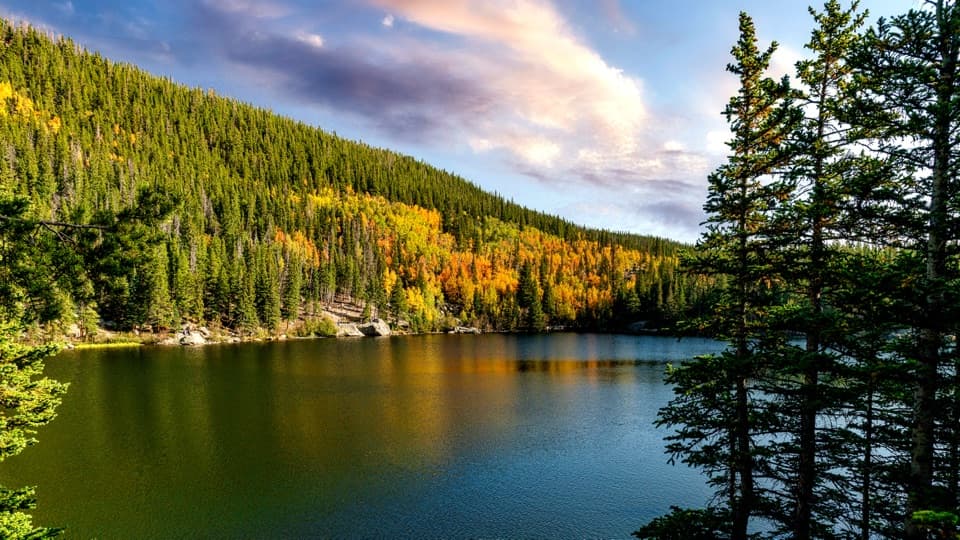
  • Fall: Quieter, cooler hikes with a shot at golden aspens.
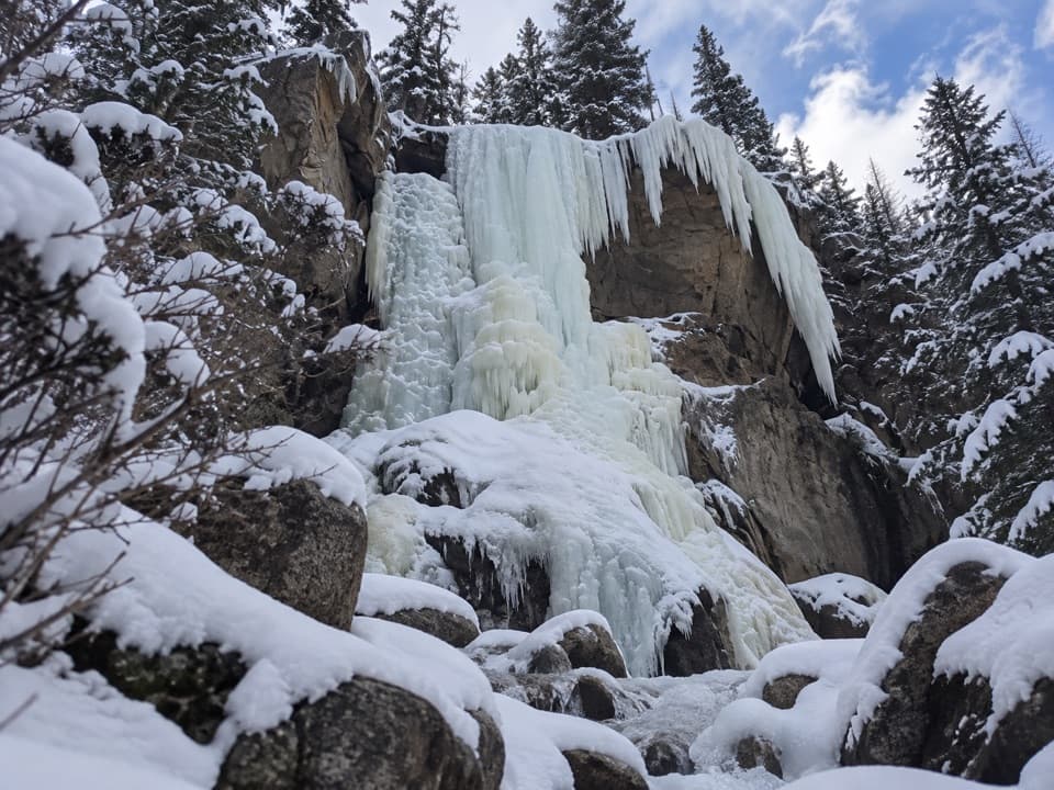
  • Winter: This turns into a true winter outing—expect snow and ice; traction (microspikes/snowshoes) may be needed depending on conditions. The Wild Basin gate often closes Oct–May, adding about 1.5 miles each way to reach the trailhead.

Best Time to Visit

Go early morning to score parking, enjoy cooler temps, and sidestep the routine afternoon storms. Weekdays help with crowds. Summer brings the most dramatic flow; fall trades roar for color and solitude.

Pros

  • Waterfall trifecta en route: Copeland Falls, Calypso Cascades, and a 40‑ft finale
  • Shaded, creekside trail that’s well‑marked and well‑maintained

Cons

  • Parking at Wild Basin fills early
  • Cell service is unreliable—download maps ahead of time

Tips

  • Arrive early to secure parking and plan to be back by noon to avoid summer thunderstorms.
  • Timed-entry permits are usually required between 9 a.m.–3 p.m. in peak season.
  • Download offline maps—cell service in Wild Basin is unreliable.
  • In winter, bring traction (microspikes or snowshoes) depending on conditions.
  • If the Wild Basin gate is closed Oct–May, expect an extra 1.5 miles each way to the trailhead.
The Parkwolf tour guide sitting on a phone mounted in a car

Parkwolf Tour Guide

Like a tour guide in your car.

Save the places you found around Rocky Mountain, then let Parkwolf guide the drive between them.Download Parkwolf on the App Store