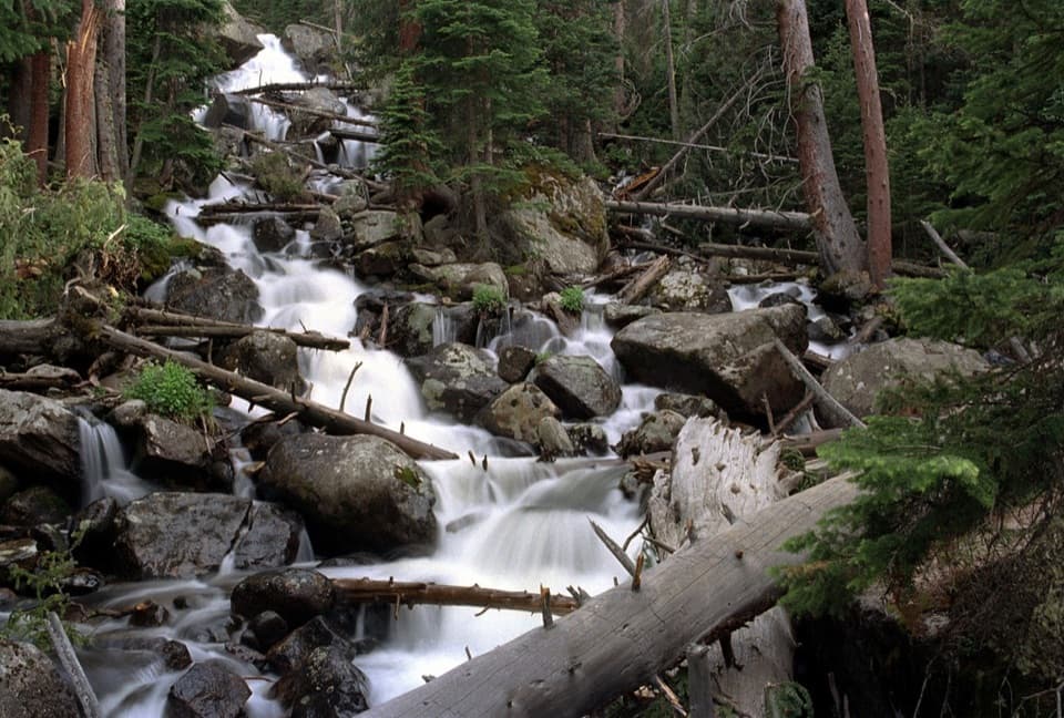
Calypso Cascades

Stair-step waterfall with orchids and big spring runoff payoff
Calypso Cascades, Rocky Mountain National Park
InsideRocky Mountain National Park

Overview

Set in the Wild Basin, Calypso Cascades is a broad, stair‑step waterfall roaring over mossy boulders beneath tall pines. It’s an easy-to-moderate outing with a big payoff, and it’s especially impressive during snowmelt. The cascades and nearby creek crossings give you that constant soundtrack of rushing water the whole way.

Route Snapshot

Most visitors start from the Wild Basin Trailhead for a roughly 3.6‑mile round trip with about 600–700 feet of gain. You’ll pass Lower and Upper Copeland Falls early, follow North St. Vrain Creek on a well‑maintained path, then tackle a steeper final 0.25–0.4 miles of steps to reach the cascades. Bridges and rocky pull-offs provide multiple viewpoints. If you’ve got gas left in the tank, continue about 0.9 miles beyond to Ouzel Falls for a bigger day.

What Makes It Special

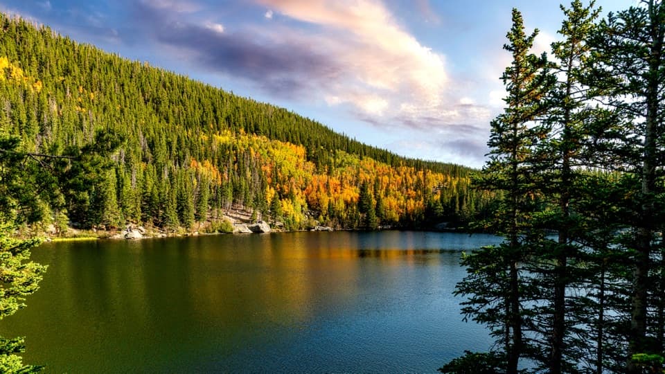
Calypso Cascades tumbles in layered steps rather than a single drop, which means tons of texture and photo angles. In June–July, keep an eye out for the namesake pink/purple Calypso orchid along the route. The area glows with golden aspen in late September, and winter turns the trail into a quiet snow-and-ice ramble when you come prepared.

Seasons & Best Time to Visit

  • Late spring to early summer: peak runoff and the most powerful water.
  • June–July: wildflower season including Calypso orchids.
  • Late September: great aspen color along the trail.
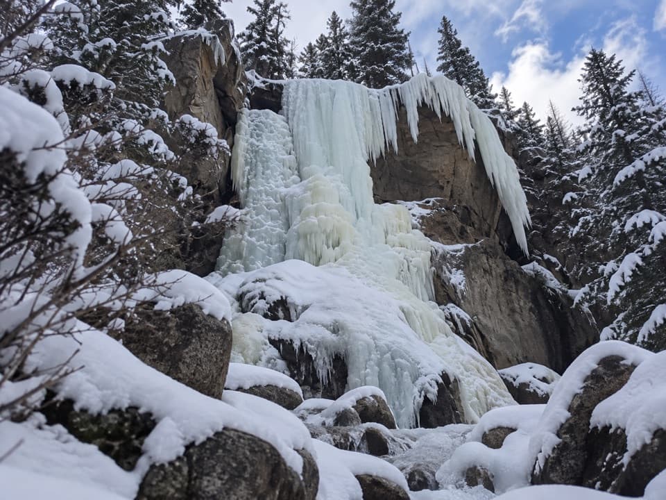
  • Winter: popular but often snowy/icy from as early as September through June; traction (microspikes or snowshoes) may be needed, and after storms the Wild Basin road may not be plowed.

Arrive early. Wild Basin lots often fill by mid‑morning, and parking farther down the dirt road adds extra mileage. Morning starts also mean fewer people at the cascades.

Wildlife

Wild Basin is classic habitat for elk and deer, with possible moose and the occasional black bear in the broader area. Give wildlife plenty of space, keep food secure, and stay on the trail—rocks near the water can be slick and the current is stronger than it looks.

Planning & Logistics

  • Access is via a 2‑mile dirt road to the Wild Basin Trailhead; drive slowly and watch for ruts.
  • Timed‑entry reservations are typically required in peak season, and a park pass is always needed.
  • No dogs on RMNP trails.
  • Cell service is unreliable—download an offline map before you go.
  • No formal picnic facilities at the cascades; expect natural seating on rocks and logs.
  • Alternate approach: a longer, quieter route from the Allenspark Trailhead (limited neighborhood parking) also reaches the cascades.

Safety Notes

The last stretch to the cascades is the steepest—trekking poles help on the way down. Bridges, boulders, and wet rock can be slippery. In winter, check conditions and consider traction; be mindful of avalanche-related advisories in the area when snow is deep.

Pros

  • Stair-step waterfall with peak flow in late spring and early summer
  • Calypso orchids bloom along the creek in early summer

Cons

  • Parking at Wild Basin fills early
  • Final quarter-mile is a noticeably steep push

Tips

  • Arrive early; Wild Basin parking often fills by mid-morning.
  • Drive the 2-mile dirt road slowly and watch for ruts and holes.
  • Detour to Copeland Falls on the way up, or continue 0.9 mi to Ouzel Falls.
  • Download an offline map; cell service is spotty to non-existent.
  • From September through June, bring traction and check winter conditions.
The Parkwolf tour guide sitting on a phone mounted in a car

Parkwolf Tour Guide

Like a tour guide in your car.

Save the places you found around Rocky Mountain, then let Parkwolf guide the drive between them.Download Parkwolf on the App Store