Parking
Start at Wild Basin Trailhead and Ranger Station at the end of Wild Basin Road, about two miles beyond the entrance station. Winter parking at the separate winter lot adds about three miles each way.

Rocky Mountain National Park, CO
Three waterfalls punctuate the long climb to Ouzel Lake.
Overview
Map & elevation
Plan your hike

The highest, rockiest slopes around here are a summer buffet for grizzly bears.
Rocky Mountain Tour Guide
Parkwolf is a GPS audio tour guide for Rocky Mountain National Park. As you drive, it chimes in with what’s ahead: hidden gems, upcoming stops, history, geology, and wildlife, right through your car’s speakers.
See the Rocky Mountain audio tourRecorded for this trailhead
Wild Basin: A Short Walk or Ouzel Falls“The Wild Basin trailhead is ahead, with a choice of creekside waterfall walks. Lower Copeland Falls is the quick option: about six-tenths of a mile round trip from the summer trailhead.”
Plays as you drive up to this trailhead in the Parkwolf Rocky Mountain Tour Guide.
More stories near here in the app
“…No cell service for majority of the day but had continuous access to the app - the maps, the tour guide as you drive is amazing. Highly recommend purchasing the subscription.”


Trail guide
Ouzel Lake Trail is a 9.8-mile out-and-back from Wild Basin Trailhead, climbing about 1,520 feet to a lake at 10,020 feet. The full route follows the main Wild Basin Trail, passes three named waterfall stops, then takes the final Ouzel Lake spur. Allow 6 to 7 hours with time for the falls; the altitude and length make this a full-day hike. A 6.1-mile out-and-back listing under the same name conflicts with the mapped route to the lake, which is 4.9 miles one way. This description follows the full lake trip. If you have less time, Ouzel Falls makes a shorter 5.4-mile round trip.
Lower Copeland Falls is about a third of a mile from the trailhead, with Upper Copeland Falls just beyond. A short side path visits both and rejoins the main trail. After the falls, the route crosses Sandbeach Creek; at about 1.3 miles, keep left at the spur to the backcountry campsites. An unnamed cascade comes next, then Calypso Cascades at roughly 1.8 miles. Above the cascades, the path gets steeper and winds through switchbacks, with occasional views toward Longs Peak and Mount Meeker.
At about 2.7 miles, the trail reaches Ouzel Falls, a 40-foot cascade visible from the footbridge. Take the time to stop here, but keep the route on the trail rather than following unofficial paths down to the water. Beyond the falls, the climb follows Ouzel Creek. At the next trail junction, stay left for the Ouzel and Bluebird Lake routes. Around 3.5 miles, you begin crossing the area burned in the 1978 Ouzel Fire. Lightning started the fire; strong winds later pushed it toward Allenspark before crews kept it within the park. Young pines are filling back in among the older fire scars.
At roughly 4.6 miles, turn left onto the Ouzel Lake spur rather than continuing toward Bluebird Lake. It drops briefly, then climbs gradually through young pine to the eastern end of the lake. Ouzel Creek spills in there, with Mount Copeland and Mahana Peak rising above the water and Ouzel Peak beyond the western shore. The creek entering the lake makes the clearest on-route photo composition: it gives the foreground a sense of place and leads your eye toward the mountains.
Ouzel is an older name for the American dipper, a gray songbird that bobs at the water's edge and dives underwater for food. The hike follows cold, fast streams for much of the way, so watch the rocky runs around the falls and Ouzel Creek rather than expecting to spot one in the forest. It is a good explanation for why the falls, creek and lake share the name.
The 9.8-mile figure starts at the summer Wild Basin Trailhead and Ranger Station, at the end of Wild Basin Road. In winter, the road may not reach the summer trailhead; the separate winter parking area adds about 3 miles each way, turning this into a substantially longer day. Wild Basin is also covered by the park's seasonal timed-entry system, so check the current reservation rules before you go. Pets are prohibited on park trails; service animals are allowed.
Wildlife
 3,124 sightingsElkMost seen around 6 PMSighting map
 1,601 sightingsMooseMost seen around 7 PMSighting map
 19 sightingsMountain GoatMost seen around 7 AMSighting map
 19 sightingsBald EagleMost seen around 8 AMSighting map
 30 sightingsGolden EagleMost seen around 10 AMSighting map
 270 sightingsBighorn SheepMost seen around 11 AMSighting map
Sighting maps show where each species has been reported across Rocky Mountain. Wildlife moves, so no sighting is guaranteed.
Keep exploring
 ChallengingThunder Lake Trail13.6 mi · 6 hr · At the trailheadWaterfalls and creek cascades break up the climb to a high lake.
 EasyCopeland Falls Trail1 mi · 45 min · At the trailheadA short creekside walk to Lower and Upper Copeland Falls.
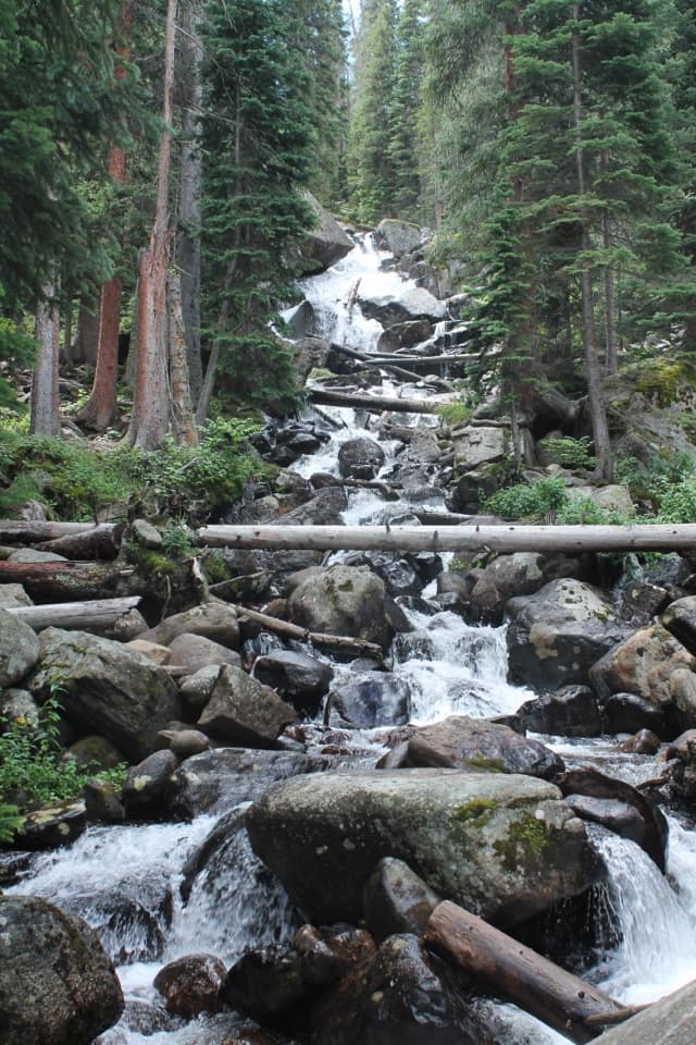 ModerateCalypso Cascades Trail3.6 mi · 2.5 hr · At the trailheadTwo Copeland Falls come before a much taller cascade.
 ChallengingBluebird Lake Trail12 mi · 9 hr · At the trailheadA long climb past two waterfalls ends at a high alpine lake.
 ModerateOuzel Falls Trail5.4 mi · 3.5 hr · At the trailheadThree waterfalls reward the climb well before the turnaround.
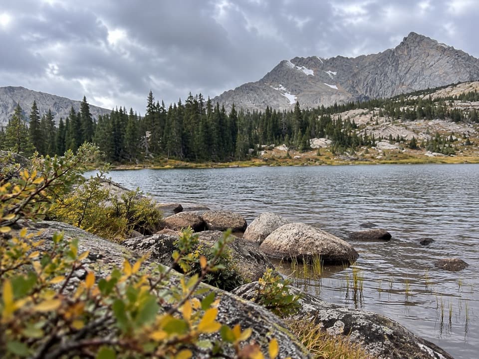 ChallengingLion Lake No. 1 Trail13.6 mi · 8.5 hr · At the trailheadWaterfalls lead to Lion Lake beneath a wall of high peaks.
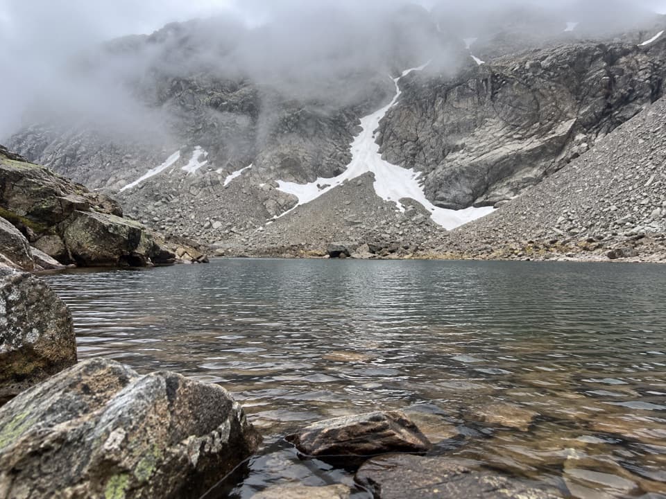 ChallengingLake of Many Winds Trail15.3 mi · 11 hr · 0.1 mi awayClimb past Wild Basin waterfalls to a high lake beneath Boulder-Grand Pass.
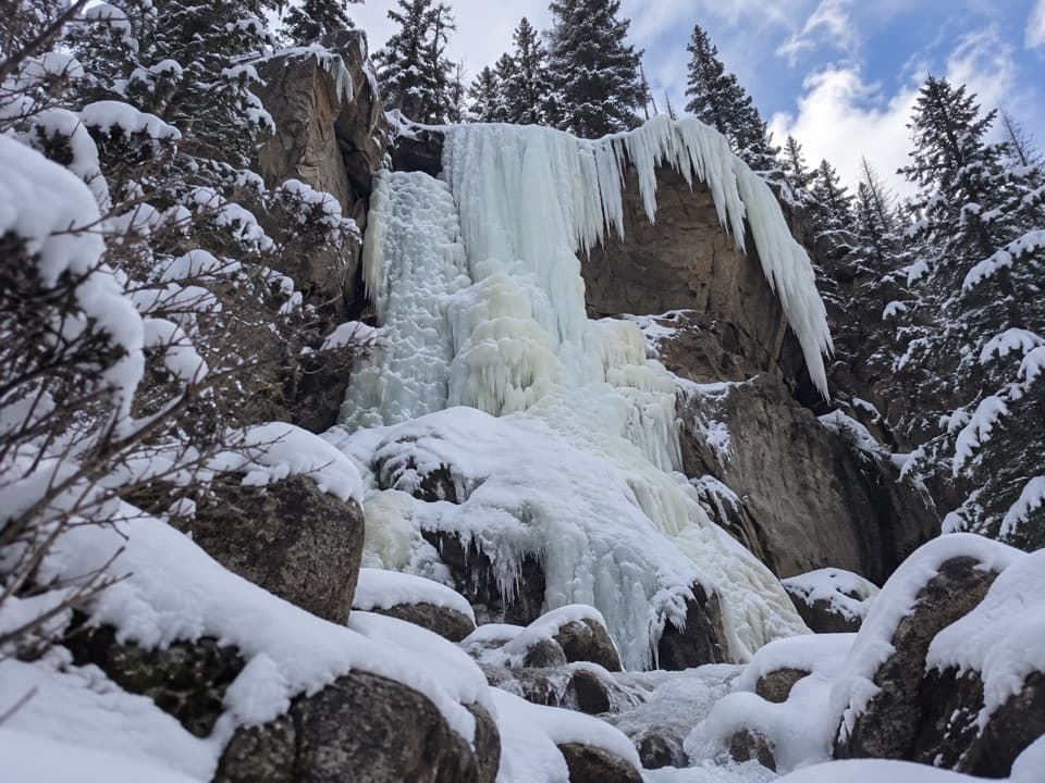 ModerateHidden Falls Trail1.8 mi · 1.5 hr · 0.1 mi awayA short, faint Wild Basin path to a sudden waterfall.
 Sight · 0.2 mi awayCopeland FallsTwo small cascades make a quick creekside detour in Wild Basin.
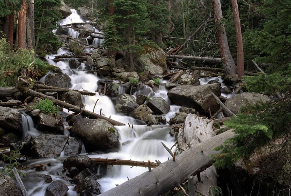 Sight · 1.6 mi awayCalypso CascadesSpring runoff turns this boulder-and-log waterfall into a roar.
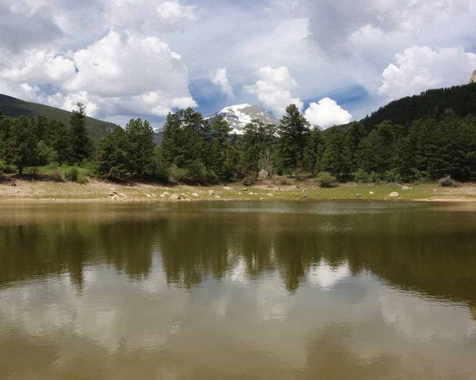 Picnic area · 1.7 mi awayCopeland Lake Picnic AreaA lakeside picnic stop beside the Sandbeach Lake trailheadSight · 1.9 mi awayOuzel FallsCopeland and Calypso Cascades come before the 40-foot finale.
 Sight · 2 mi awaySandbeach LakeSandy lakeshore, peak views, and a 1,970-foot climb.
 Sight · 2.2 mi awayFinch LakeA shallow backcountry lake reached by a long Wild Basin hike.Sight · 3.5 mi awayOuzel LakeA high lake beyond Wild Basin’s chain of waterfalls.
 Sight · 3.8 mi awayPear LakeA high lake two miles beyond Finch, reached on a long hike.
Parkwolf’s Rocky Mountain ranking

The audio tour guide for the drive, plus offline maps, trails, and wildlife heatmaps for when the signal drops.




