Wattamolla Beach and Picnic Area in Royal National Park

#1 of 40 sights in Royal

Beach · Royal National Park

Wattamolla Beach and Picnic Area

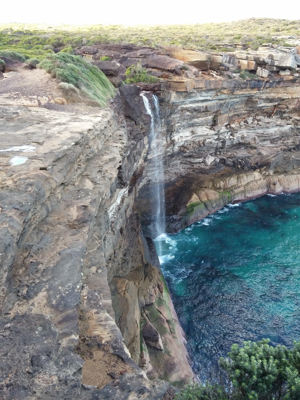
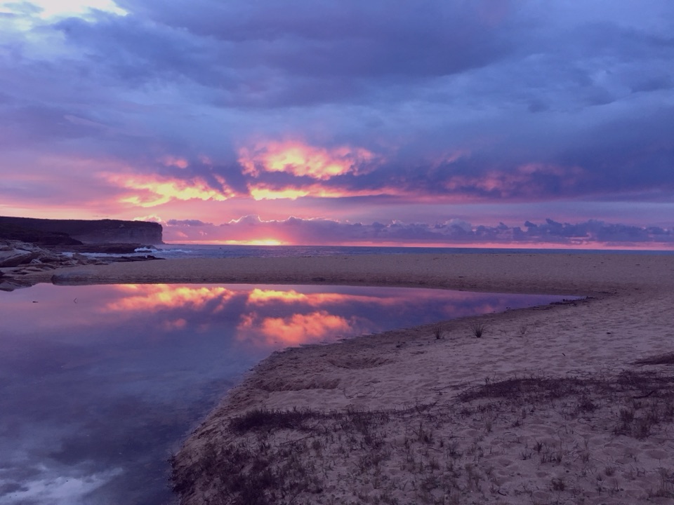
A waterfall, calm lagoon, and surf beach share one cove.

Photo: Wikimedia Commons
Type
Beach
Nearest trail
0.2 km
Audio stories
2 nearby
  • Restrooms
  • Picnic tables
  • Parking
  • Scenic viewpoint

Hear the audio tour

Wattamolla Beach and Lagoon

Overview

About Wattamolla Beach and Picnic Area

Why stop

  • A sheltered lagoon, waterfall and surf beach make a varied coastal stop.
  • Picnic facilities sit beside the Coast Track and beach access.

Heads up

  • The ocean beach has strong rips and no lifeguard service.
  • Hot weekend parking can fill before midday.

Map

Where it is

Loading the Royal map
Full map
BeachWattamolla Beach and Picnic Area-34.13751, 151.11696
Keep this map with you offline in the Parkwolf app

Plan your stop

Before you go

Best time to go

The Coast Track passes through Wattamolla, making the picnic area a useful starting point for a longer coastal walk. NPWS highlights heathland wildflowers in spring and whale watching from the cliffs and lookout in winter, especially June to August. Sea eagles and oystercatchers are among the birds to watch for along the beach.


4 active Royal alerts

  • ClosureOvernight closures for deer-control operationsSpecified areas of Royal National Park are closed between sunset and sunrise from Monday to Thursday, excluding school holidays, through 18 December 2026 so NPWS can carry out deer-control operations.Official details
  • ClosureUnauthorised trail between East Heathcote and Waterfall closedThe unauthorised trail between East Heathcote and Waterfall is formally and physically closed; access is not permitted.Official details
See all 4 alerts
A park ranger sits on a dash-mounted phone, talking, as Parkwolf’s Tour Guide plays “Army Cutworm Moths: A Grizzly Bear Buffet” on Grand Loop Road below Dunraven Pass in Yellowstone
Parkwolf Tour GuideThe highest, rockiest slopes around here are a summer buffet for grizzly bears.

Royal Tour Guide

Your drive to Wattamolla Beach and Picnic Area, narrated.

Parkwolf is a GPS audio tour guide for Royal National Park. As you drive, it chimes in with what’s ahead: hidden gems, upcoming stops, history, geology, and wildlife, right through your car’s speakers.

Recorded for this place

Wattamolla Beach and Lagoon
0:00 / 0:32
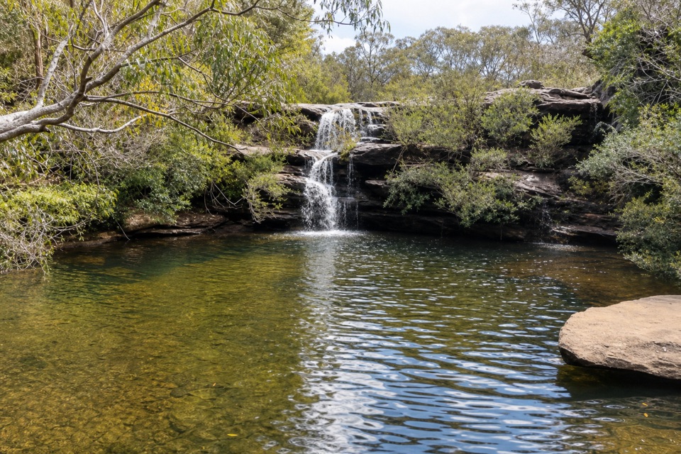
“You're coming up on Wattamolla, where a waterfall drops into a lagoon just behind the ocean beach.”

Plays as you drive up to Wattamolla Beach and Picnic Area in the Parkwolf Royal Tour Guide.

More stories near here in the app

  • Wattamolla Walk to Eagle Rock
  • The Sundew’s Sticky Trap
  • Who Scribbled on the Gums?
  • Bundeena Drive Walk to Little Marley
  • 43 audio storiesacross Royal’s roads, triggered by GPS as you drive
  • Wildlife heatmapsfor Humpback Whale, White-bellied Sea-Eagle, Koala, and 13 more
  • Works offlinemaps, 69 trails, 58 places, and audio download before you lose signal
  • CarPlay readysimple controls built for the drive
★★★★★
“Fantastic app with many points of information… It’s great to just turn on while you’re driving and it gives you an audio tour of the national Park. We love it!!!!”
JMJamesApp Store review
Download Parkwolf on the App StoreGet Parkwolf on Google Play

4.7 from 8,600+ ratings

Guide

More about Wattamolla Beach and Picnic Area

A beach, lagoon and waterfall togetherWattamolla is a coastal beach and picnic area in Royal National Park, where a small ocean beach…

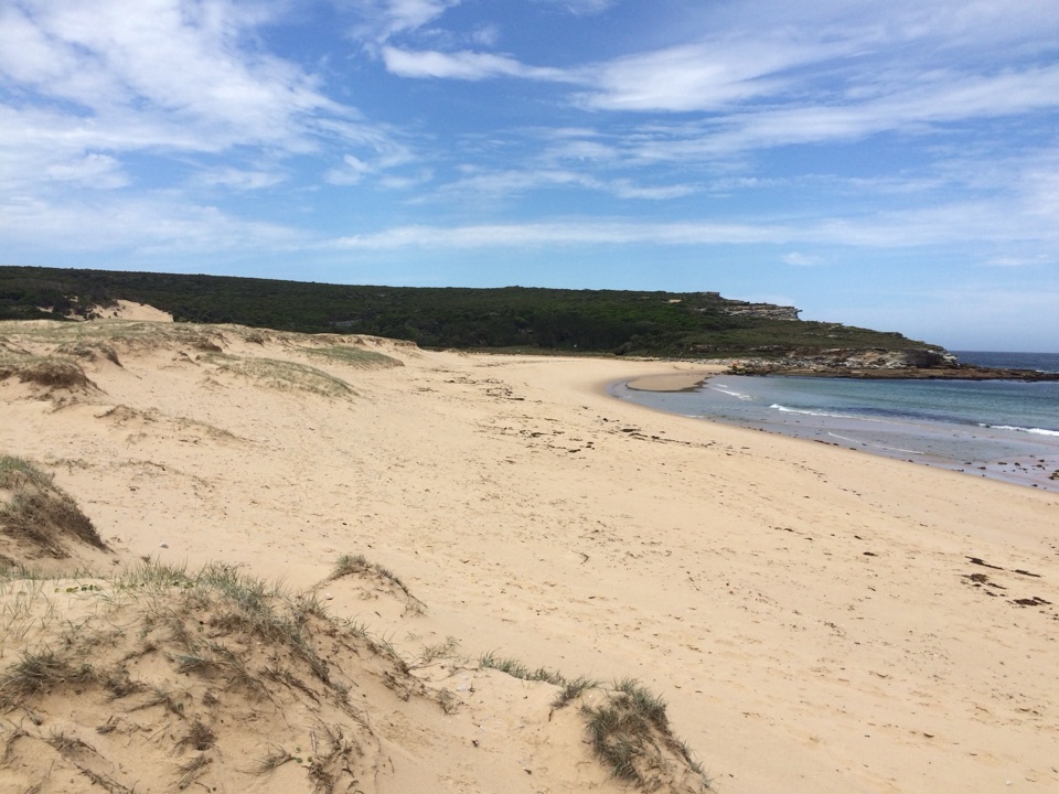
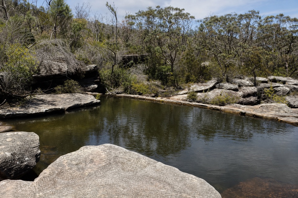
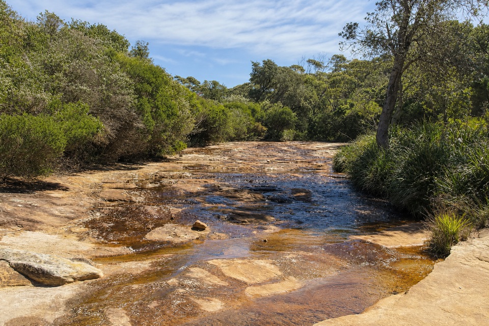
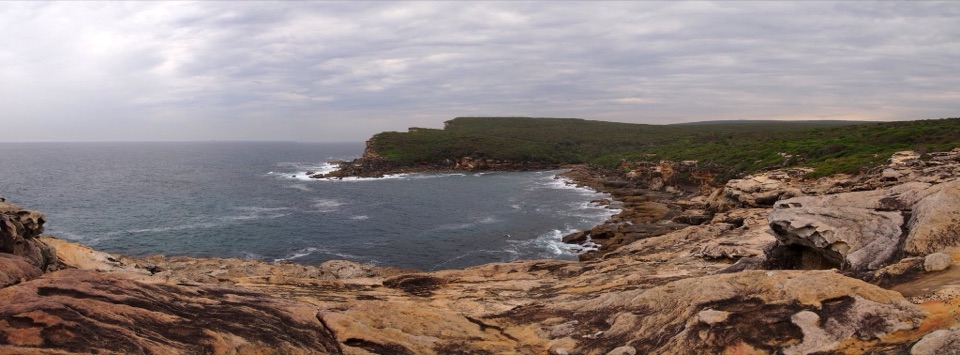
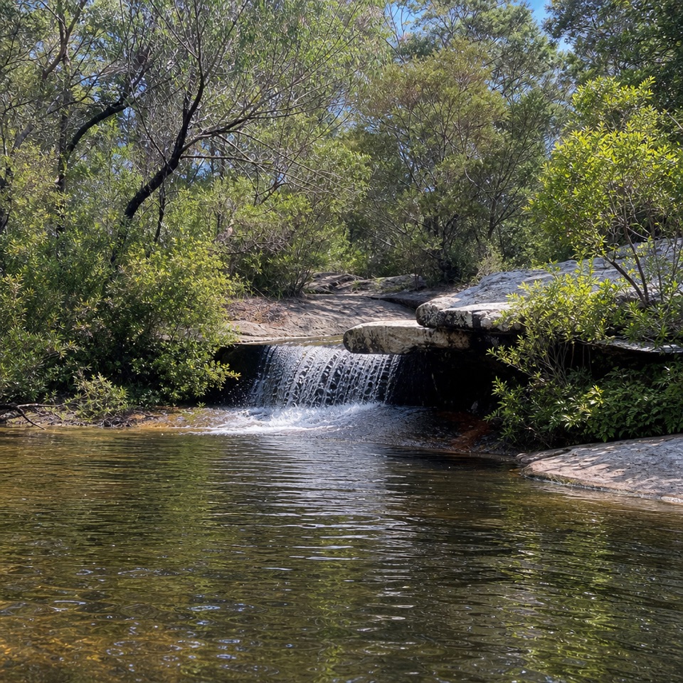
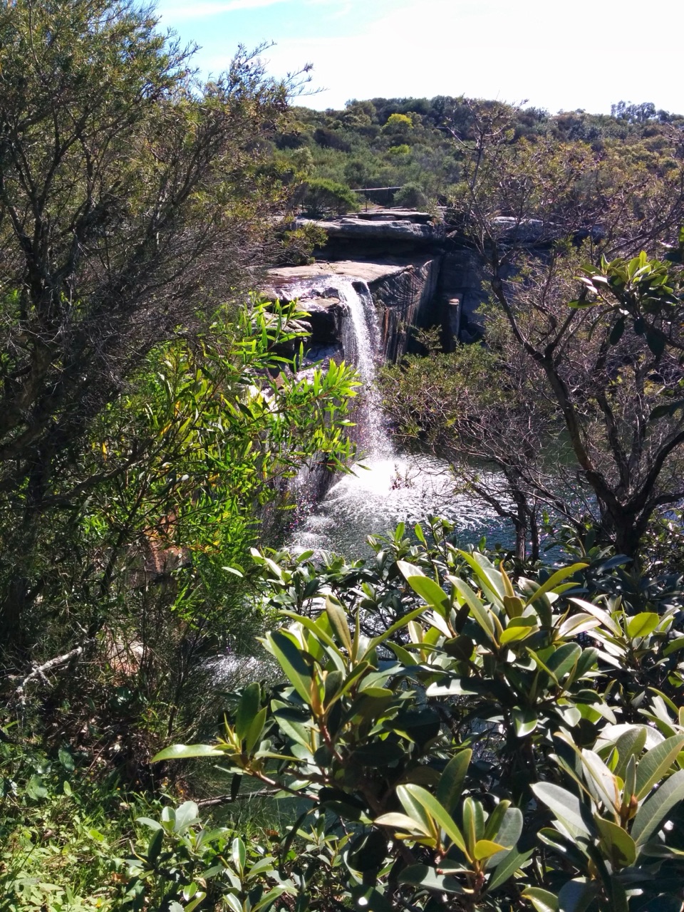
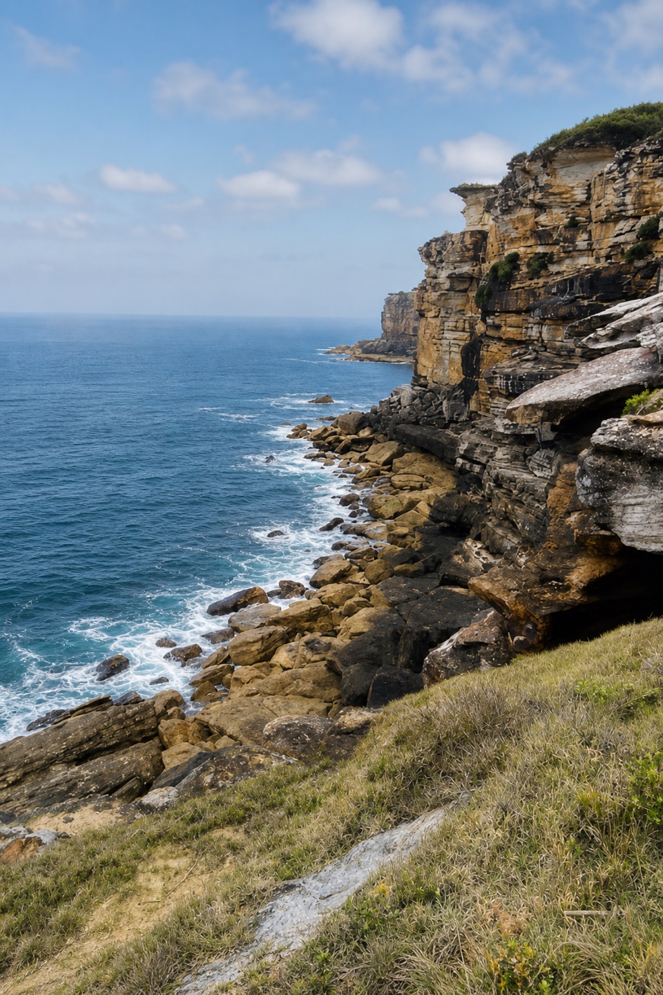
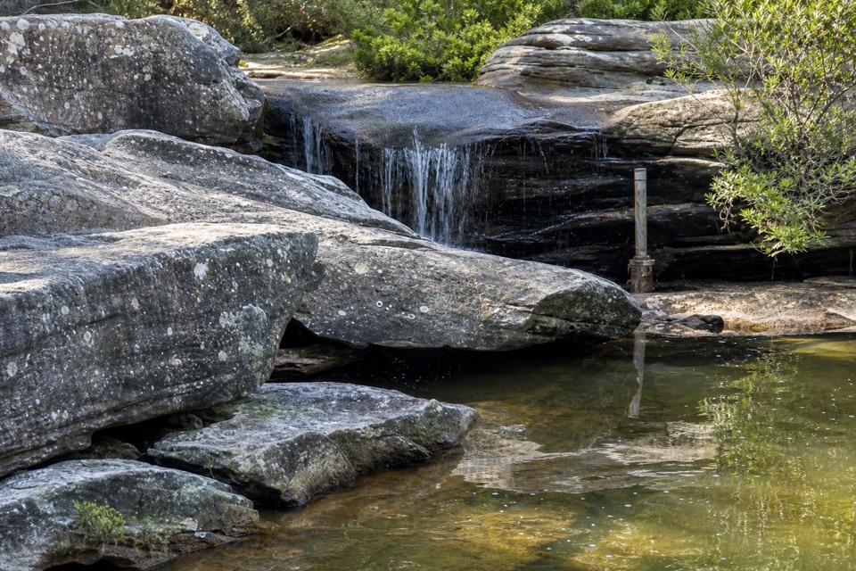
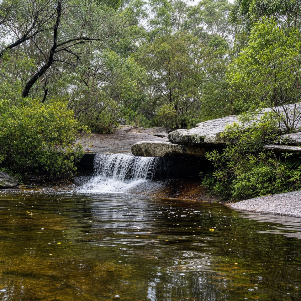
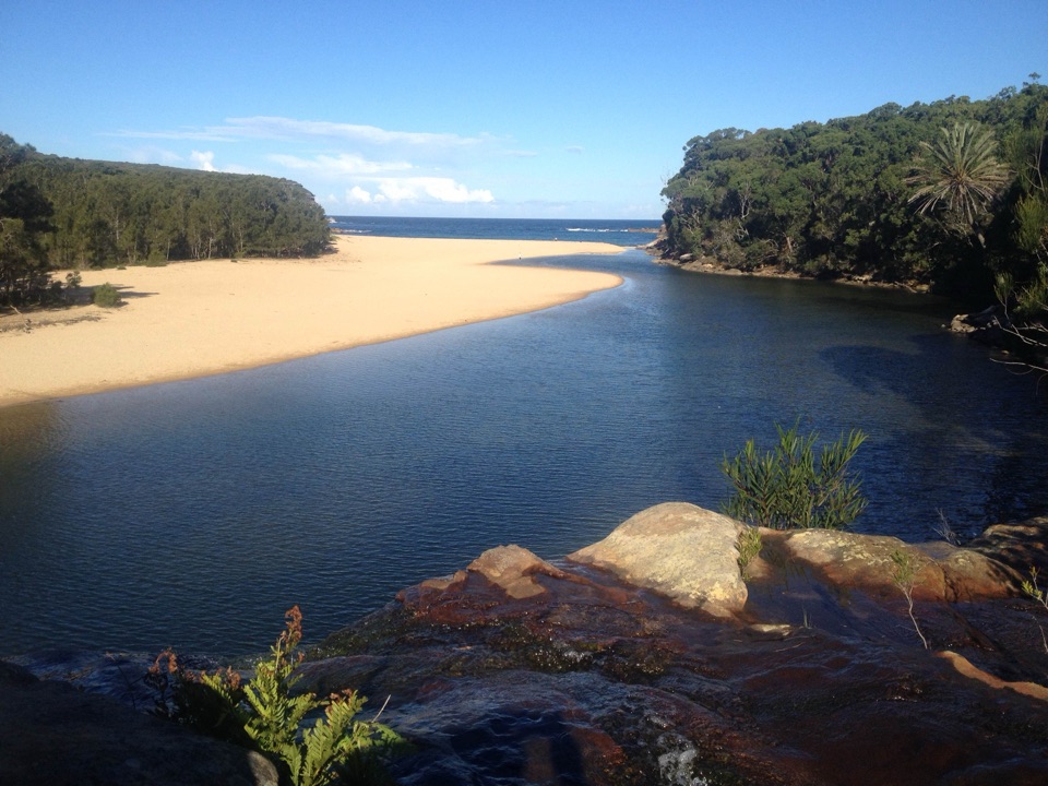
Wattamolla is a coastal beach and picnic area in Royal National Park, where a small ocean beach fronts a lagoon and Cootes Creek tumbles over a waterfall into the water behind it. The sandy beach is about 150 metres long; the visit also spreads across the lagoon, waterfall lookout and picnic grounds. Wattamolla Creek feeds the lagoon from the northwest, so there is more to the place than a strip of sand.

Choose your waterThe lagoon is the sheltered swimming and snorkelling option; the beach opens to the ocean.

The lagoon is the sheltered swimming and snorkelling option; the beach opens to the ocean. There are no lifeguards, and strong rips can occur at park beaches. Keep to the water you can judge safely, and do not jump from the waterfall: jumping is prohibited.

Make a picnic day of itWattamolla Road leaves Sir Bertram Stevens Drive and runs to the picnic area on sealed roads…

Wattamolla Road leaves Sir Bertram Stevens Drive and runs to the picnic area on sealed roads suitable for 2WD vehicles. A track and stairs lead from the picnic grounds down to the beach. The facilities include flush toilets, picnic tables and free gas or electric barbecues. Bring drinking and cooking water, as well as food for your visit.
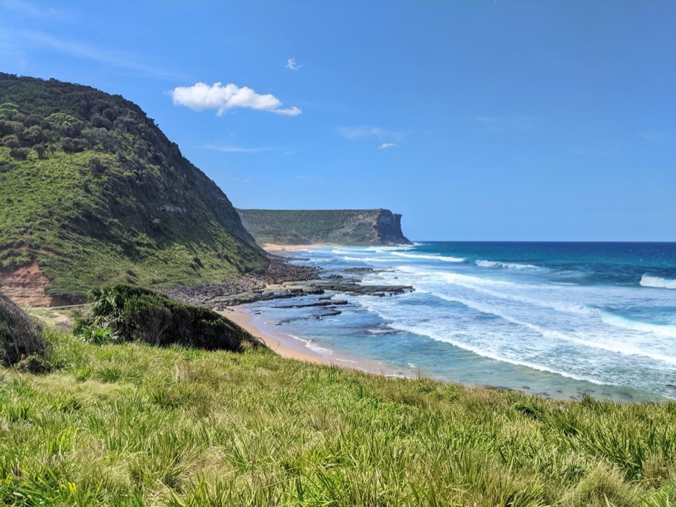
On hot weekends the car park often fills before midday, so arriving early or choosing a weekday makes the stop easier. Pets and domestic animals are not allowed, except certified assistance animals.

The shoreline keeps movingCreek flow and tides shift the lagoon's size and its openings to the sea.

Creek flow and tides shift the lagoon's size and its openings to the sea. That changes the shape of the sandbar and the line between lagoon and ocean, so the view can look different from one visit to the next. The cove's changing water is part of its character, not a fixed pool behind a permanent beach.

Look down from the waterfall lookoutA fenced lookout above the falls looks across the lagoon, sandy spit and Tasman Sea.

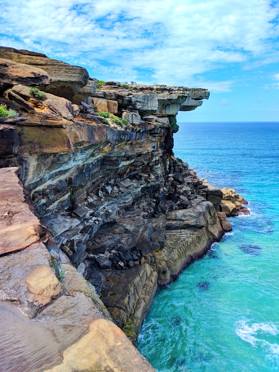
A fenced lookout above the falls looks across the lagoon, sandy spit and Tasman Sea. For a photo that explains the whole place, include the waterfall or its rocky edge in the foreground, then let the sand and ocean carry the eye out of the frame.

A cove in early coastal voyagesWattamolla is reported to be an Aboriginal place name meaning “place near running water.”

Wattamolla is reported to be an Aboriginal place name meaning “place near running water.” On 29 March 1796, Matthew Flinders, George Bass and William Martin were driven into the cove by a southerly gale while returning in the small boat Tom Thumb from exploring the south coast. Flinders called it Providential Cove; the southern headland is now Providential Point. In 1797, three survivors of the Sydney Cove shipwreck were reportedly seen on the beach after walking north from Victoria in search of help for their shipmates.

Wildlife

Wildlife in Royal

All Royal wildlife maps

Sighting maps show where each species has been reported across Royal. Wildlife moves, so no sighting is guaranteed.

Keep exploring

Near Wattamolla Beach and Picnic Area

See it all on the map

Trails nearby

More stops nearby

Parkwolf’s Royal ranking

Top sights in Royal

All 58 places
  1. 2Wedding Cake RockSight
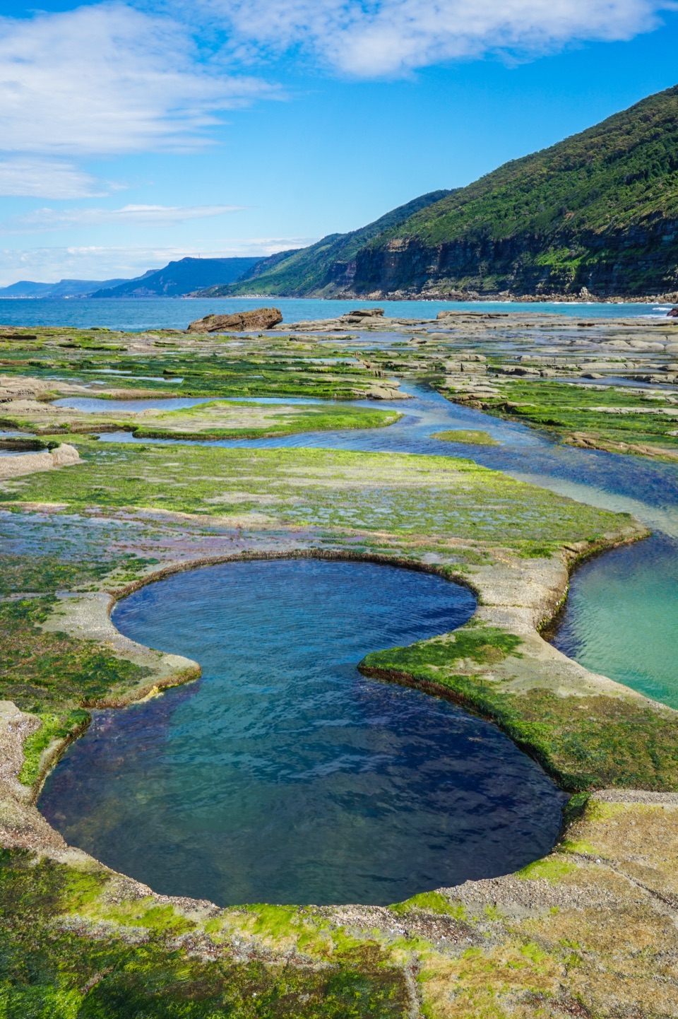
  2. 3Figure Eight PoolsSight
  3. 4Eagle RockSight
  4. 5Curracurrong FallsSight
  5. 6Jibbon Rock EngravingsSight
  6. 7Garie BeachBeach

Take Parkwolf to Royal.

The audio tour guide for the drive, plus offline maps, trails, and wildlife heatmaps for when the signal drops.

4.7 from 8,600+ ratings

Download Parkwolf on the App StoreGet Parkwolf on Google Play