Jibbon Rock Engravings in Royal National Park

#6 of 40 sights in Royal

Sight · Royal National Park

Jibbon Rock Engravings

A beach-and-bush walk ends at a protected Dharawal engraving site.

Type
Sight
Nearest trail
0.9 km
Audio stories
4 nearby
  • Exhibit

Hear the audio tour

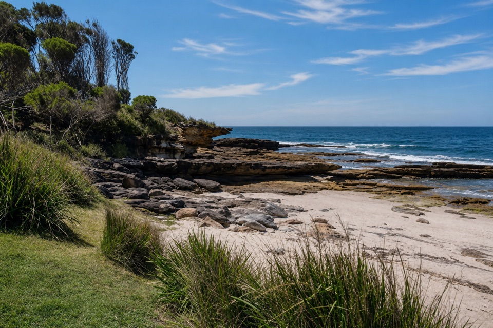
Jibbon Beach and Rock Engravings

Overview

About Jibbon Rock Engravings

Why stop

  • A memorable mix of beach walking and cultural heritage.

Heads up

  • Worn lines can be difficult to see from the raised platform.

Map

Where it is

Loading the Royal map
Full map
SightJibbon Rock Engravings-34.07724, 151.16727
Keep this map with you offline in the Parkwolf app

Plan your stop

Before you go

4 active Royal alerts

  • ClosureOvernight closures for deer-control operationsSpecified areas of Royal National Park are closed between sunset and sunrise from Monday to Thursday, excluding school holidays, through 18 December 2026 so NPWS can carry out deer-control operations.Official details
  • ClosureUnauthorised trail between East Heathcote and Waterfall closedThe unauthorised trail between East Heathcote and Waterfall is formally and physically closed; access is not permitted.Official details

See all 4 alerts
A park ranger sits on a dash-mounted phone, talking, as Parkwolf’s Tour Guide plays “Army Cutworm Moths: A Grizzly Bear Buffet” on Grand Loop Road below Dunraven Pass in Yellowstone
Parkwolf Tour GuideThe highest, rockiest slopes around here are a summer buffet for grizzly bears.

Royal Tour Guide

Your drive to Jibbon Rock Engravings, narrated.

Parkwolf is a GPS audio tour guide for Royal National Park. As you drive, it chimes in with what’s ahead: hidden gems, upcoming stops, history, geology, and wildlife, right through your car’s speakers.

Recorded for this place

Jibbon Beach and Rock Engravings
0:00 / 0:27
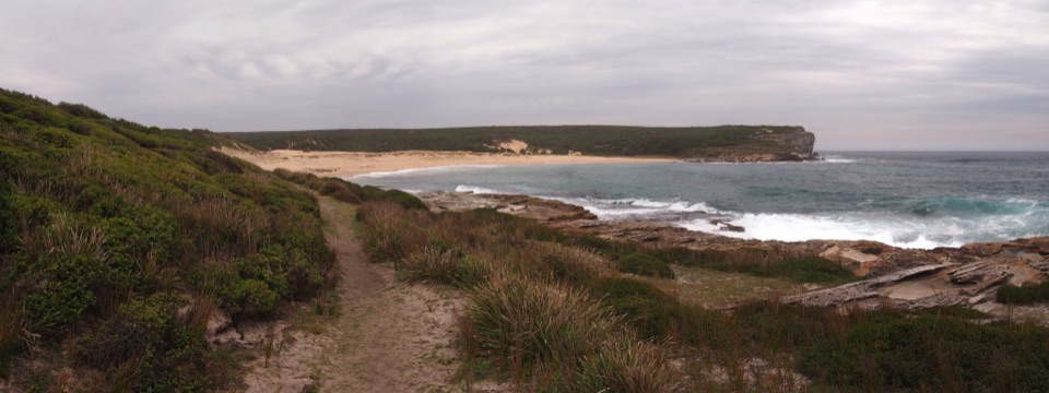
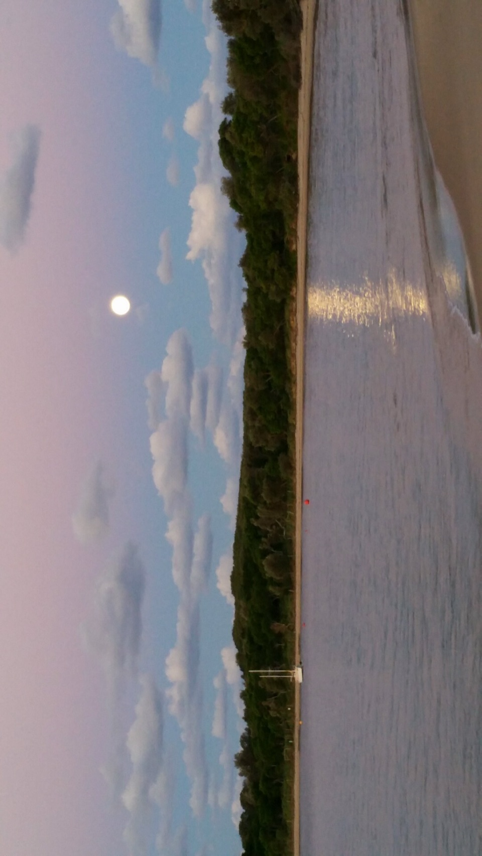
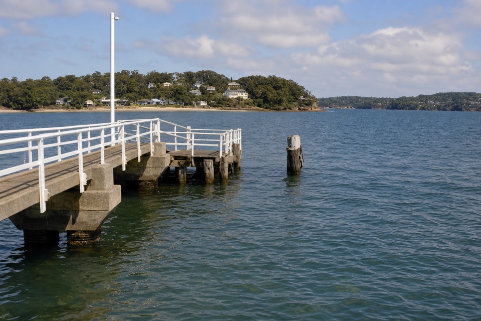
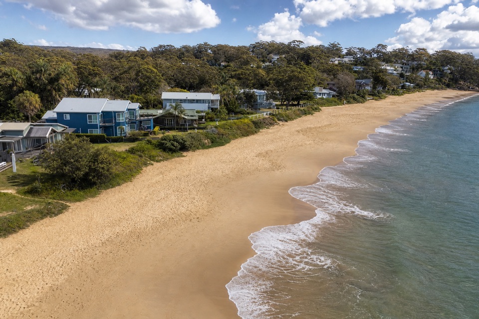
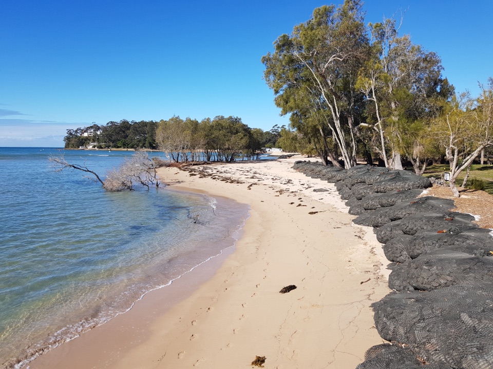
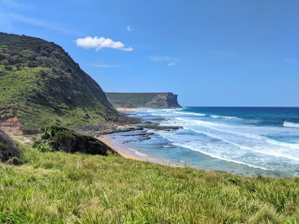
“Jibbon Beach is coming up, with a long crescent of sand and a walk onward to Dharawal rock engravings.”

Plays as you drive up to Jibbon Rock Engravings in the Parkwolf Royal Tour Guide.

More stories near here in the app

  • Bundeena Waterfront and Horderns Beach
  • Bundeena Coast Track to Wedding Cake Rock
  • Bonnie Vale Riverbank and Picnic Area
  • A Humpback’s Tail Signature
  • 43 audio storiesacross Royal’s roads, triggered by GPS as you drive
  • Wildlife heatmapsfor Humpback Whale, White-bellied Sea-Eagle, Koala, and 13 more
  • Works offlinemaps, 69 trails, 58 places, and audio download before you lose signal
  • CarPlay readysimple controls built for the drive
★★★★★
“Fantastic app with many points of information… It’s great to just turn on while you’re driving and it gives you an audio tour of the national Park. We love it!!!!”
JMJamesApp Store review
Download Parkwolf on the App StoreGet Parkwolf on Google Play

4.7 from 8,600+ ratings

Guide

More about Jibbon Rock Engravings

A cultural site at the end of a coastal walkThis is a broad sandstone platform on Jibbon Headland, just beyond the eastern end of Jibbon…

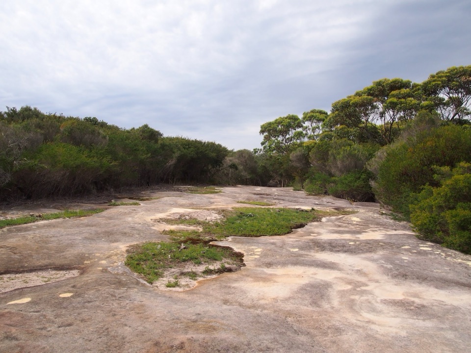
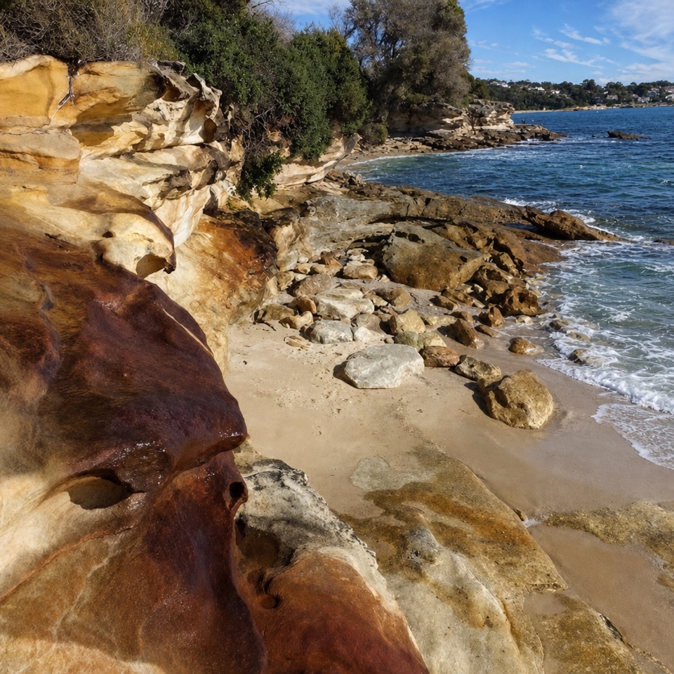
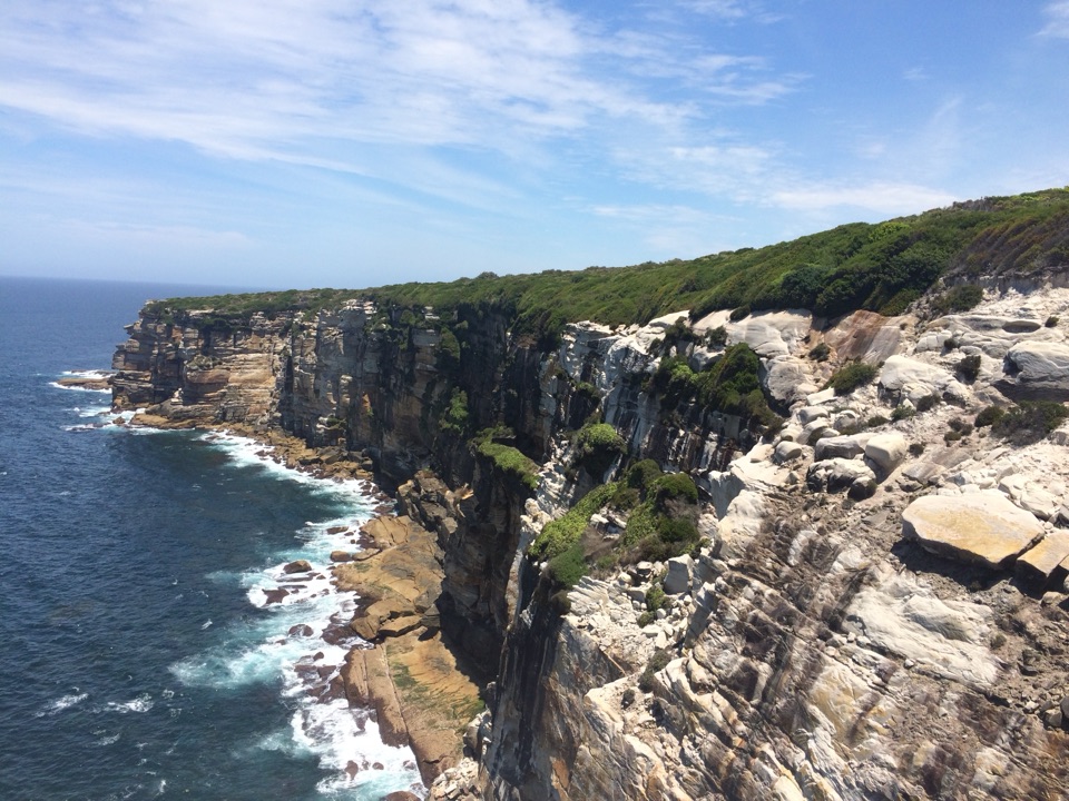
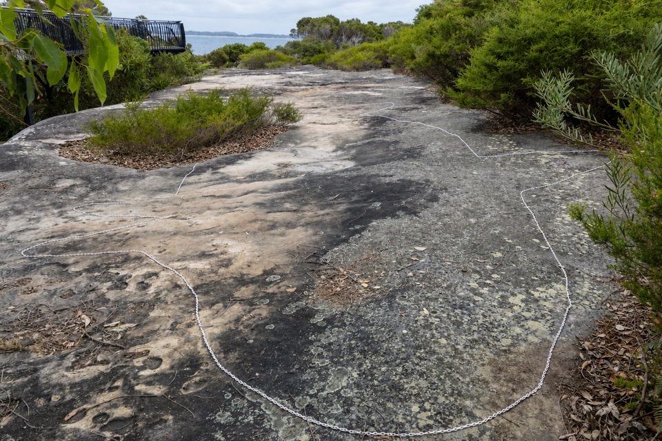
This is a broad sandstone platform on Jibbon Headland, just beyond the eastern end of Jibbon Beach, with Dharawal rock engravings viewed from a raised boardwalk. Come for the coastal walk and the chance to see the engravings in their place. Some lines are faint from above, so this isn't a quick stop where every figure jumps out. From Bundeena ferry wharf, allow about 5 km return and roughly three hours.

Make the walk workMost of the route follows marked bush track, but it crosses soft sand along Jibbon Beach and…

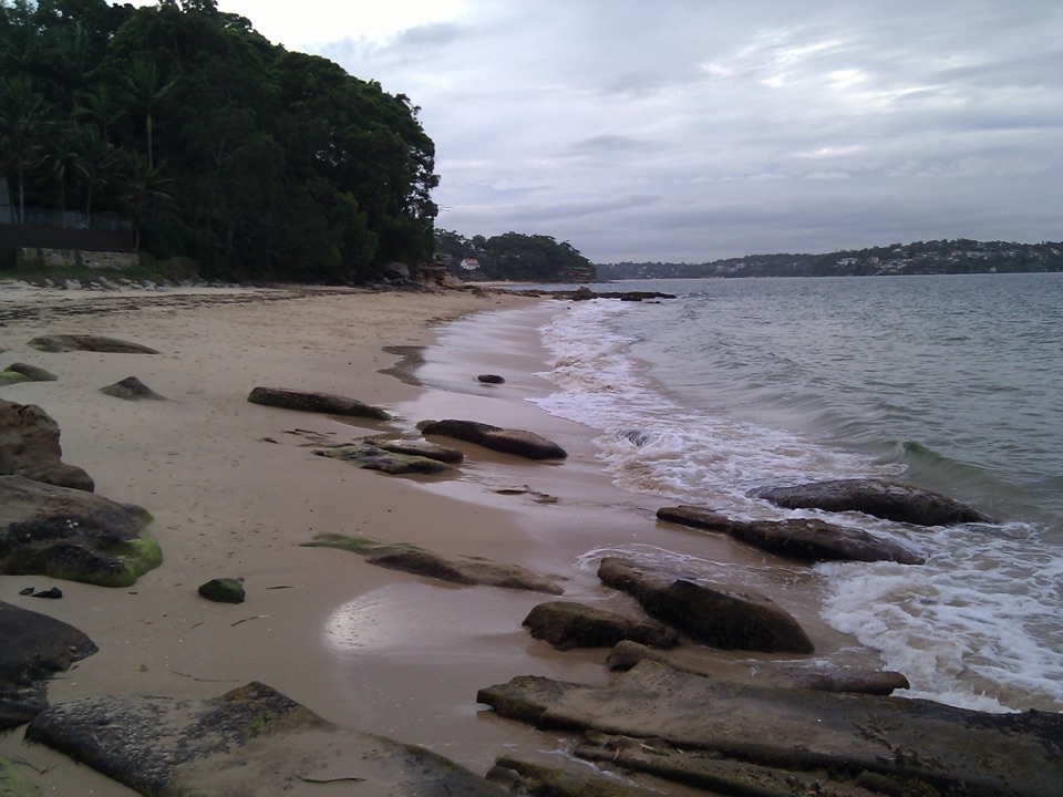
Most of the route follows marked bush track, but it crosses soft sand along Jibbon Beach and has steps back up toward the headland. The route is gentle in elevation, but the sand and total distance add time. Use the public toilets by the ferry wharf before you leave; there is no drinking water along the walk, so bring what you need. Bundeena has cafés for before or after, while the headland itself has no food service.

Take your time on the platformThe broad, weathered surface is ringed by a low protective chain, and the raised walkway looks…

The broad, weathered surface is ringed by a low protective chain, and the raised walkway looks down across it. The carvings can be hard to pick out from above; look slowly for faint outlines instead of expecting bold, dark figures. For a photo, keep some of the chain or raised walkway at the edge of the frame: it gives a sense of scale and shows how the rock is protected.

Stay on the raised walkwayThe viewing structure was built to limit foot traffic that had been damaging the sandstone.

The viewing structure was built to limit foot traffic that had been damaging the sandstone. Stay on the boardwalk and off the rock itself. Interpretive signage at the viewing area helps connect what you see with the site's cultural context.

A living Dharawal placeThe engravings reflect Dharawal people's past and continuing connection to Country.

The engravings reflect Dharawal people's past and continuing connection to Country. Conservation work here involved La Perouse Local Aboriginal Land Council and community representatives. The figures' meanings are culturally contextual, and published age estimates vary; look carefully without assigning one date or a single story to every outline.

Wildlife

Wildlife in Royal

All Royal wildlife maps

Sighting maps show where each species has been reported across Royal. Wildlife moves, so no sighting is guaranteed.

Keep exploring

Near Jibbon Rock Engravings

See it all on the map

Trails nearby

More stops nearby

Parkwolf’s Royal ranking

Top sights in Royal

All 58 places
  1. 1Wattamolla Beach and Picnic AreaBeach
  2. 2Wedding Cake RockSight
  3. 3Figure Eight PoolsSight
  4. 4Eagle RockSight
  5. 5Curracurrong FallsSight
  6. 7Garie BeachBeach

Take Parkwolf to Royal.

The audio tour guide for the drive, plus offline maps, trails, and wildlife heatmaps for when the signal drops.

4.7 from 8,600+ ratings

Download Parkwolf on the App StoreGet Parkwolf on Google Play