Parking
Start and finish at Wattamolla Picnic Area. Its parking can fill on weekends and holidays; arrive early. Park entry fees apply.

Royal National Park, NSW
A hard 16 km return to Garie Beach, via Eagle Rock.
Overview
Map & elevation
Plan your hike

The highest, rockiest slopes around here are a summer buffet for grizzly bears.
Royal Tour Guide
Parkwolf is a GPS audio tour guide for Royal National Park. As you drive, it chimes in with what’s ahead: hidden gems, upcoming stops, history, geology, and wildlife, right through your car’s speakers.
Recorded for this trailhead
Wattamolla Walk to Eagle Rock“You're coming up on the road to Wattamolla, where the coastal walk to Eagle Rock begins. Allow three to four hours for about eight and a half kilometres return, over boardwalk, uneven rock and a creek crossing.”
Plays as you drive up to this trailhead in the Parkwolf Royal Tour Guide.
More stories near here in the app
“Fantastic app with many points of information… It’s great to just turn on while you’re driving and it gives you an audio tour of the national Park. We love it!!!!”


Trail guide
Wattamolla to Garie Beach is a 16 km out-and-back on the Coast Track, about 8 km each way. Start at Wattamolla Picnic Area, walk south to Garie Beach, then retrace the same route. It is a hard Grade 4 walk; allow about seven hours for the repeated climbs and time at the headlands. Choose it if you want a long coastal outing and do not mind doing the terrain twice. If you need a shorter day, make Eagle Rock your turnaround.
The track climbs from the picnic area to Providential Point Lookout, above Wattamolla Beach and Lagoon. It then descends to Curracurrang Cove, where a creek reaches the coast, before climbing again along the headlands. Expect changing, uneven footing, including sandy or rocky sections and steps; this is not a smooth beach promenade.
Eagle Rock's profile resembles an eagle's head above the ocean, with Curracurrong Creek falling over the escarpment nearby. The view opens along the cliff line, then the path continues south toward a final descent to Garie Beach. From the established lookout, frame the rock with ocean behind it so the outline reads clearly. Migrating humpback whales may be visible from coastal lookouts between May and October.
The trail drops from the ridge to Garie Beach, a broad sandy shore below the cliffs. Enjoy the beach, then walk the same headlands back to Wattamolla; this itinerary is a return walk, not a one-way transfer. The return brings the climbs again, so leave enough daylight for the full outing.
Start and finish at Wattamolla Picnic Area. Parking there can fill on weekends and holidays, so arrive early; park entry fees apply. Bring enough drinking water for the day because no reliable drinking-water point was confirmed along the route. Pets are not allowed in NSW national parks, apart from trained assistance animals.
Wildlife
 56 sightingsHumpback WhaleMost seen around 11 AMSighting map
 68 sightingsWhite-bellied Sea-EagleMost seen around 9 AMSighting map
 12 sightingsKoalaMost seen around 6 PMSighting map
 33 sightingsJavan RusaMost seen around 6 PMSighting map
 69 sightingsShort-beaked EchidnaMost seen around 5 PMSighting map
 11 sightingsRed FoxMost seen around 5 PMSighting map
Sighting maps show where each species has been reported across Royal. Wildlife moves, so no sighting is guaranteed.
Keep exploring
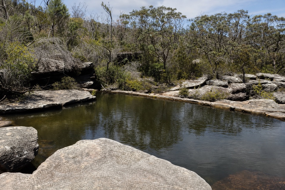 ModerateWattamolla Dam Walk1.7 km · 45 min · At the trailheadA short bush walk to a quiet creek pool above the lagoon.
 ModerateWattamolla to Eagle Rock and Curracurrong Falls8.5 km · 3.5 hr · 0.1 km awayA coastal walk to falls that drop straight into the sea.
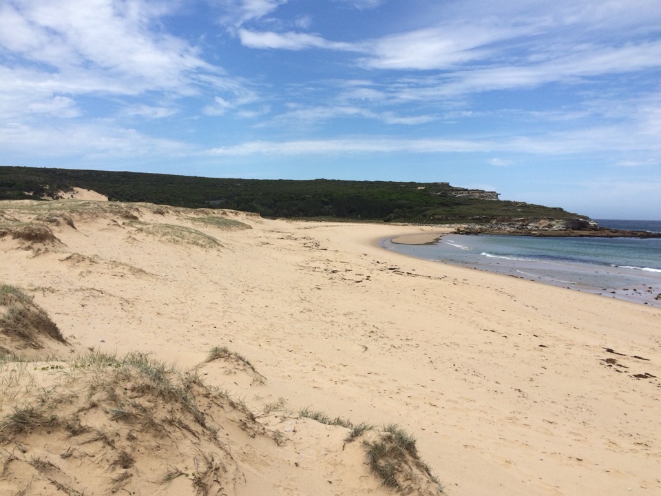 ModerateWattamolla to Big Marley Beach Loop10.4 km · 4 hr · 0.1 km awayA boardwalk and sandstone coast walk to two wild beaches.
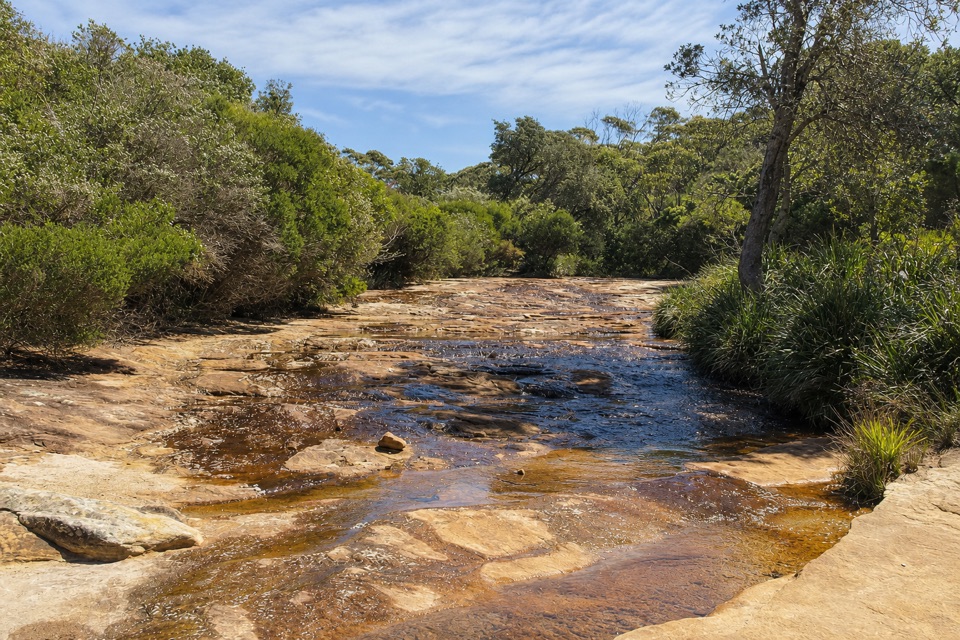 EasyCurracurrang Falls Walk3.5 km · 1.5 hr · 0.1 km awayA short coastal walk to a rough, creekside waterfall pool.
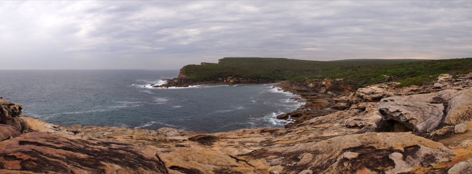 ModerateWattamolla to Curracurrang Cove3.4 km · 1.5 hr · 0.1 km awayA rough coastal track to a sheltered creek-mouth cove.
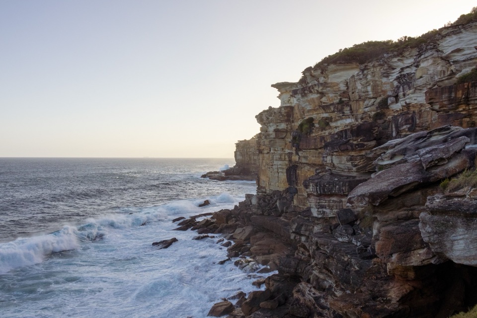 EasyProvidential Point Walk1.7 km · 45 min · 0.1 km awayA short coastal walk to a fenced lookout above the surf.
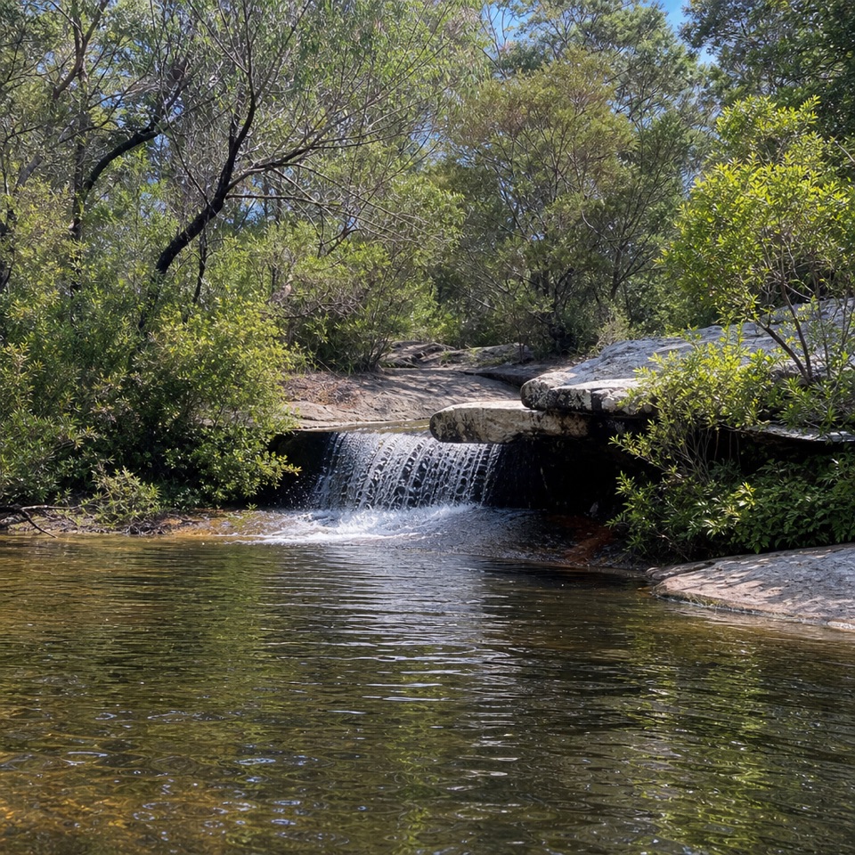 ModerateDeer Pools Walk4 km · 1.5 hr · 3.9 km awayA short heath walk to a shaded cascade and rock pool
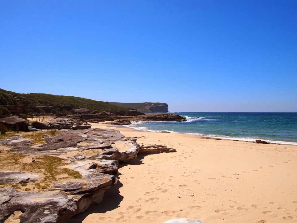 ModerateBundeena Drive to Marley walk7.8 km · 3.5 hr · 4 km awayHeath and creek pools make the coastal walk feel like two hikes.
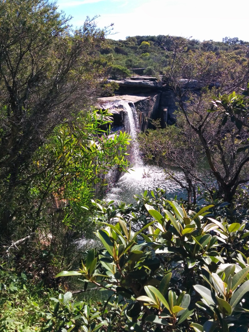 Sight · 0.2 km awayWattamolla FallsA high lagoon view of a waterfall that changes with rain.
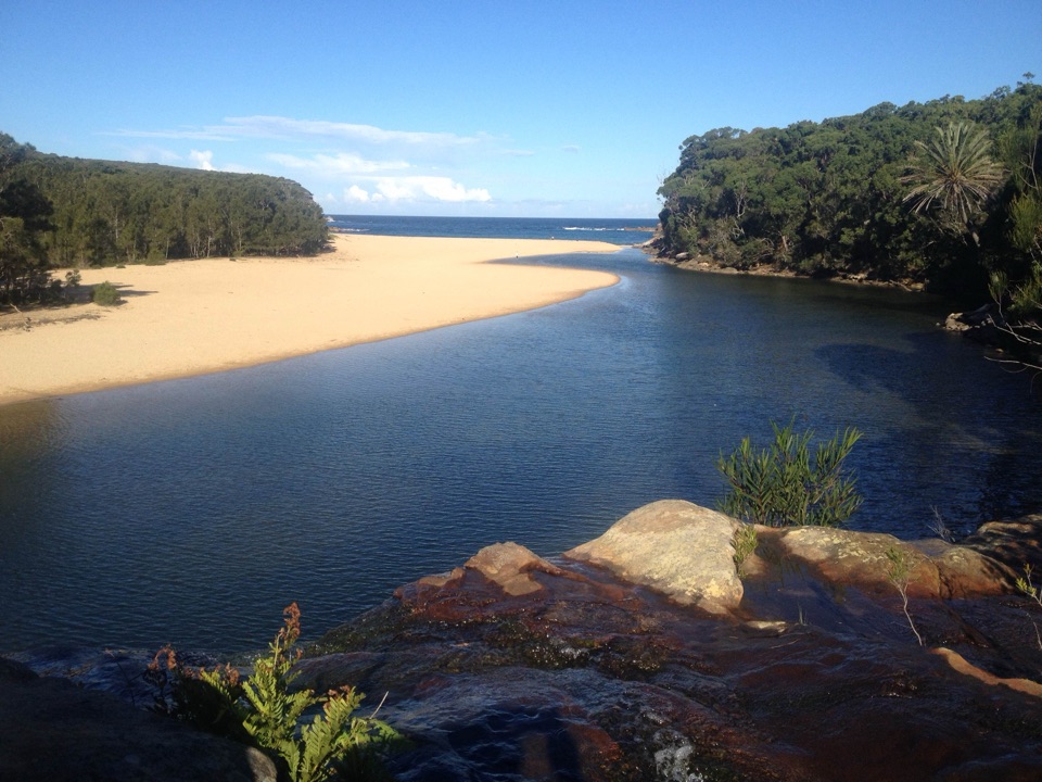 Beach · 0.2 km awayWattamolla Beach and Picnic AreaA waterfall, calm lagoon, and surf beach share one cove.
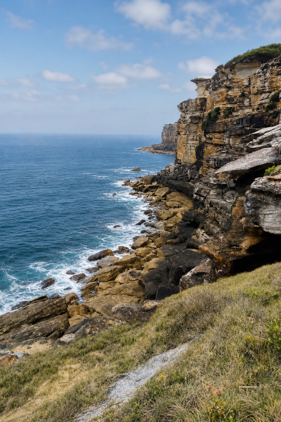 Sight · 0.5 km awayProvidential Point LookoutLayered cliffs and Pacific surf make the short walk pay off.
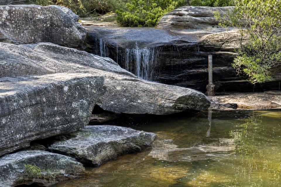 Sight · 0.7 km awayWattamolla DamA short Coast Track detour reaches a sheltered creek swimming hole.
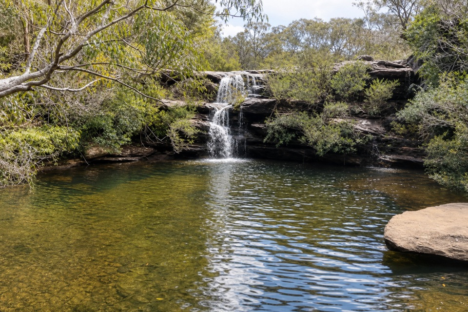 Sight · 1.3 km awayCurracurrang FallsA low waterfall and deep pool reward an unmarked side trip.
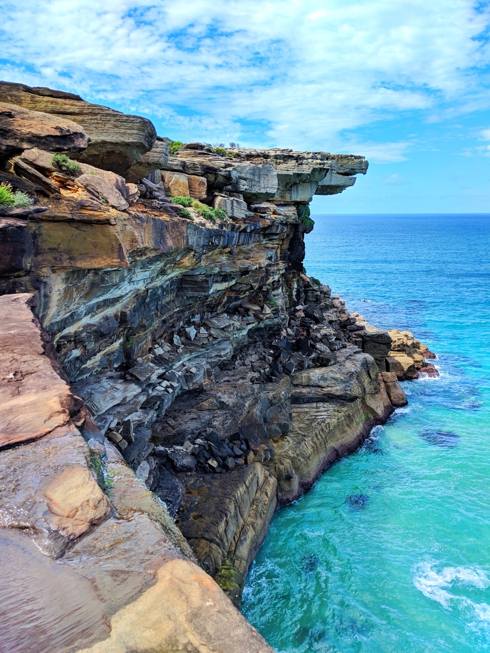 Sight · 2.2 km awayEagle RockA sandstone overhang on the Coast Track with an eagle's profile.
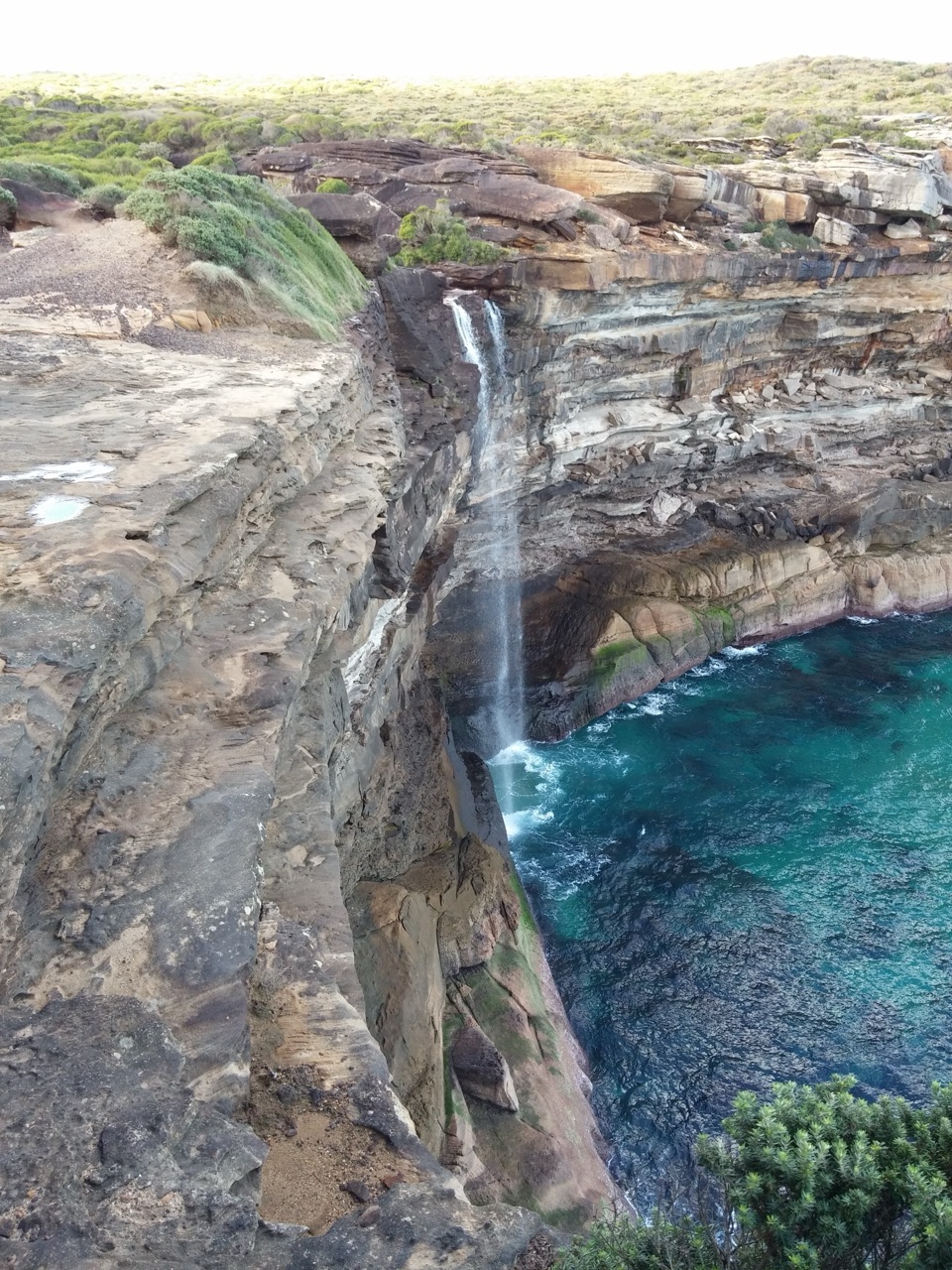 Sight · 2.2 km awayCurracurrong FallsA coastal waterfall drops straight into the Pacific.
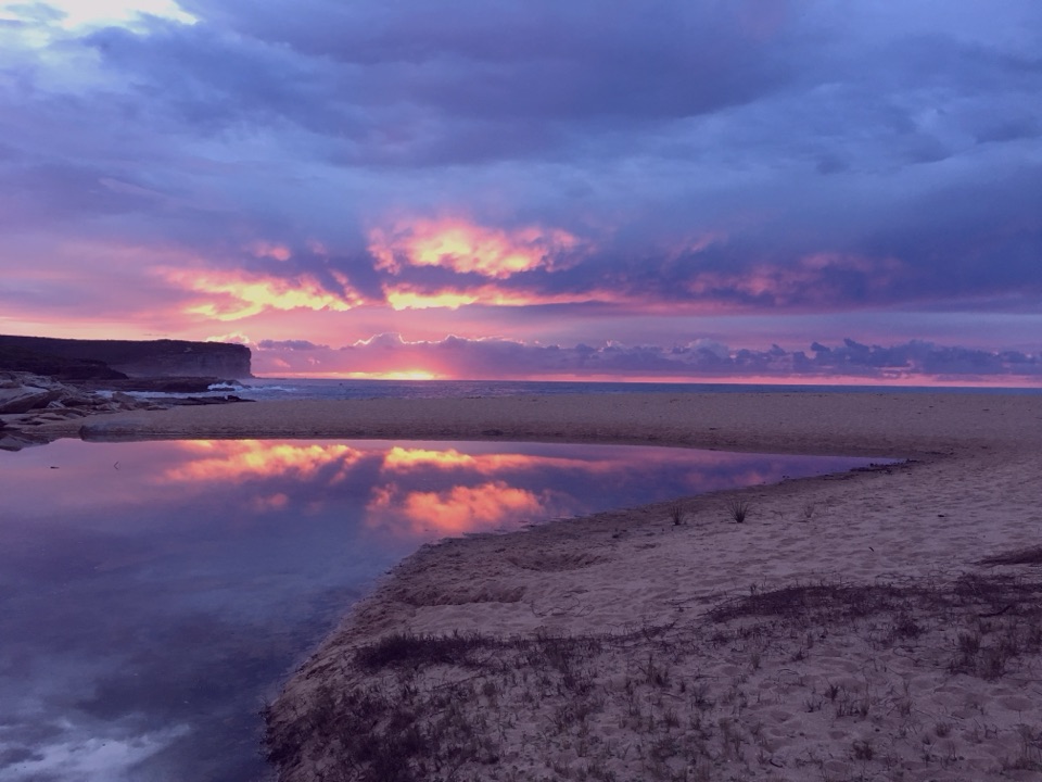 Beach · 2.7 km awayLittle Marley BeachA quiet beach that takes a real walk to reach.
Parkwolf’s Royal ranking

The audio tour guide for the drive, plus offline maps, trails, and wildlife heatmaps for when the signal drops.




