Overview
About Curracurrong Falls
Why stop
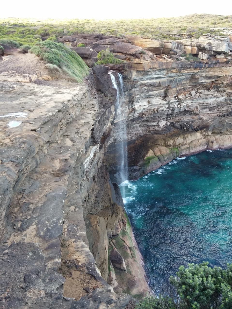
- Waterfall plunges over coastal cliffs toward the Pacific
- Rock pool and a scenic Coast Track approach
Heads up
- The unmarked spur and stepping stones need careful route-finding
- Water flow can be slight in dry weather
Map
Where it is

The highest, rockiest slopes around here are a summer buffet for grizzly bears.
Royal Tour Guide
Your drive to Curracurrong Falls, narrated.
Parkwolf is a GPS audio tour guide for Royal National Park. As you drive, it chimes in with what’s ahead: hidden gems, upcoming stops, history, geology, and wildlife, right through your car’s speakers.
See the Royal audio tourRecorded for this place
Wattamolla Walk to Eagle Rock“You're coming up on the road to Wattamolla, where the coastal walk to Eagle Rock begins. Allow three to four hours for about eight and a half kilometres return, over boardwalk, uneven rock and a creek crossing.”
Plays as you drive up to Curracurrong Falls in the Parkwolf Royal Tour Guide.
More stories near here in the app
- Wattamolla Beach and Lagoon
- Wises Track’s Heathland Walk
- Garie Beach and Its Surf Lifesavers
- Who Scribbled on the Gums?
- 43 audio storiesacross Royal’s roads, triggered by GPS as you drive
- Wildlife heatmapsfor Humpback Whale, White-bellied Sea-Eagle, Koala, and 13 more
- Works offlinemaps, 69 trails, 58 places, and audio download before you lose signal
- CarPlay readysimple controls built for the drive
“Fantastic app with many points of information… It’s great to just turn on while you’re driving and it gives you an audio tour of the national Park. We love it!!!!”


Guide
More about Curracurrong Falls
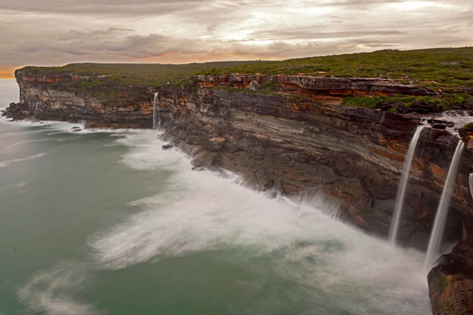
A waterfall at the edge of the seaCurracurrong Falls is a waterfall on Curracurrong Creek, where a stream drops from Royal…
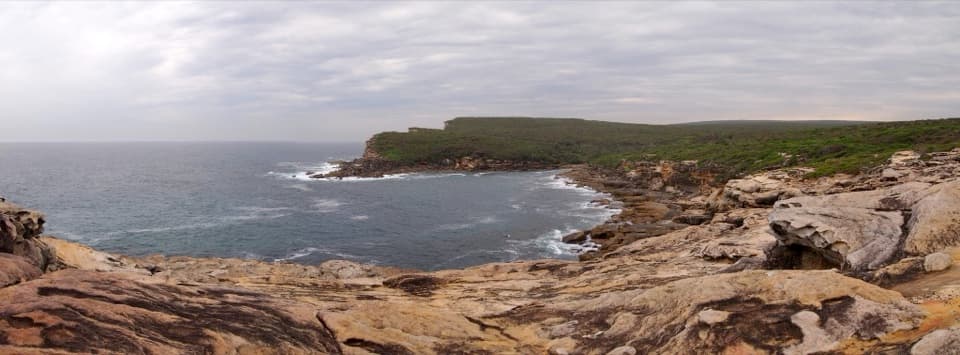
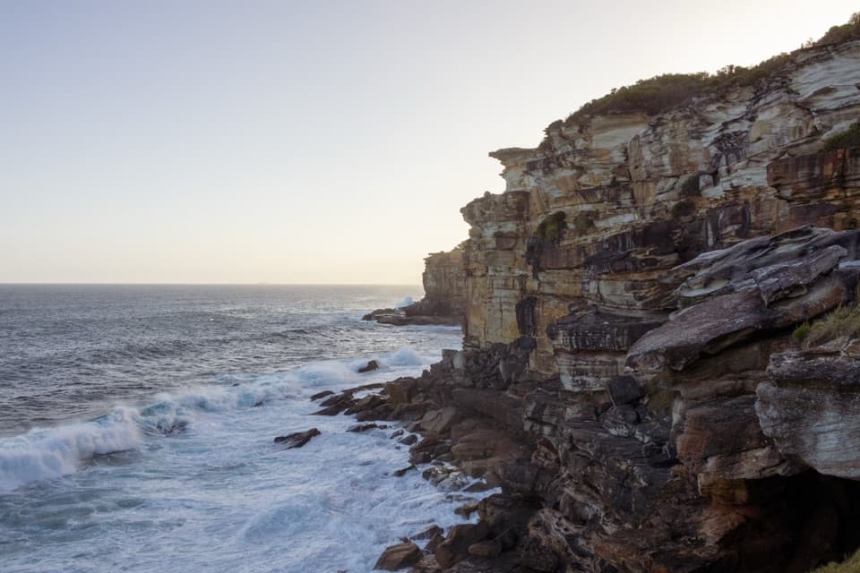
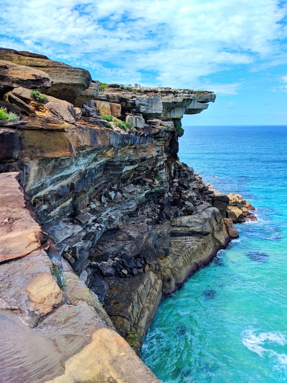
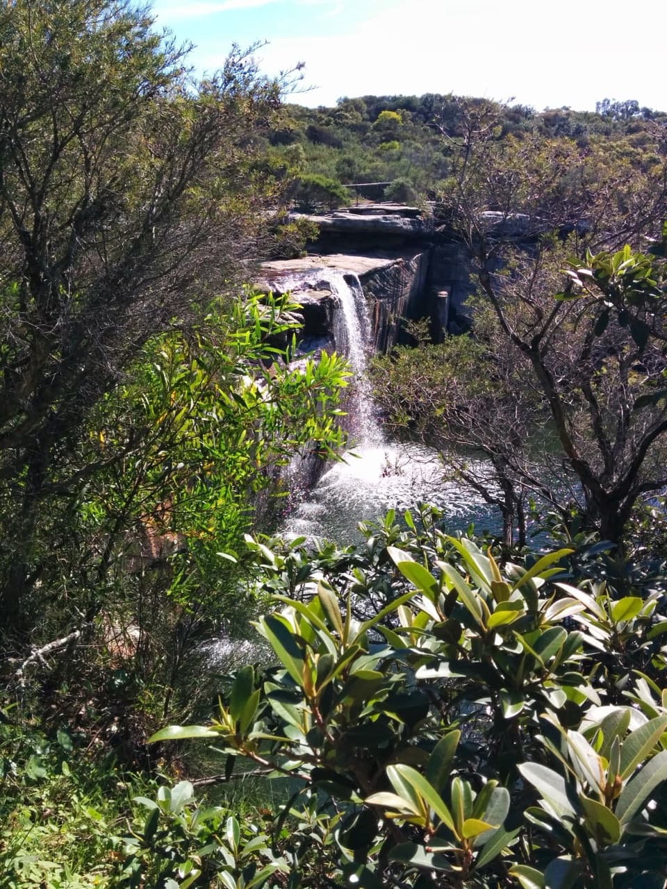
Curracurrong Falls is a waterfall on Curracurrong Creek, where a stream drops from Royal National Park’s coastal cliffs toward the Pacific. It sits beside Eagle Rock on the Coast Track. If you want a waterfall with the ocean beyond it, this is a distinctive stop; it takes a walk to reach, not a quick pull-in from the road.
Choose the Wattamolla walkThe usual approach starts at Wattamolla.
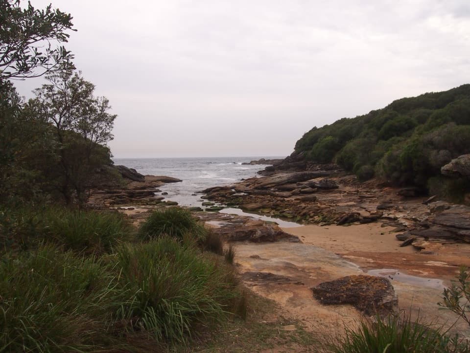
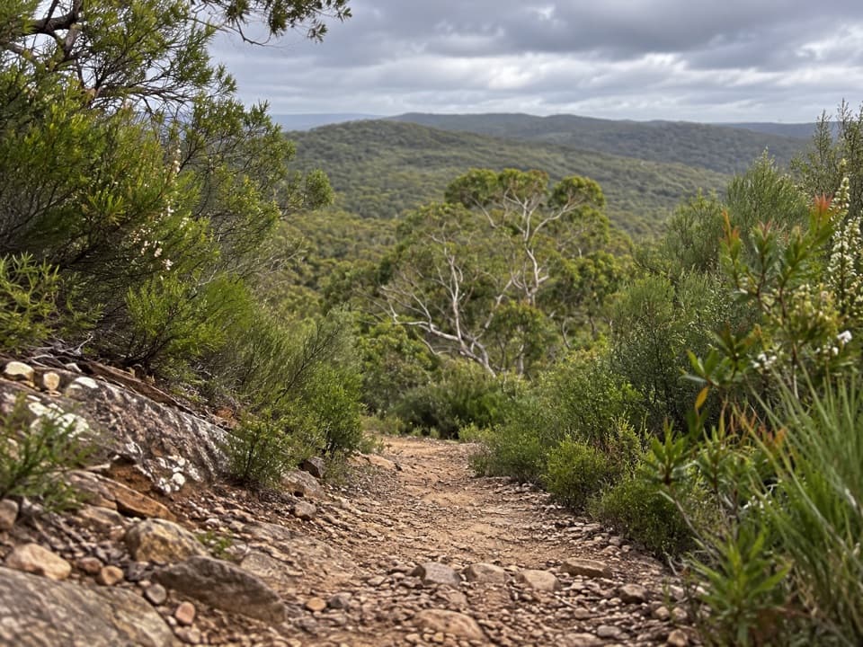
The usual approach starts at Wattamolla. A detailed route guide describes a shorter fire-trail approach from car park 5 at about 3.5 km return, or a 4.2 km loop that takes the scenic coastal way out via Providential Point and the shorter route back. Published distance estimates vary with the route and start point, so check the current map and allow time for the walk. The scenic path has a lookout, boardwalk and stairs. Near Curracurrang Gully, the turn to the falls is an unmarked path beside the creek-crossing steps; stepping stones and rough ground make the last part easy to miss. NPWS describes the Wattamolla-to-Curracurrang track as Grade 5, with no wheelchair access.
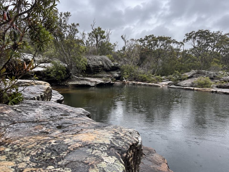
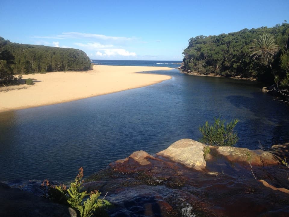
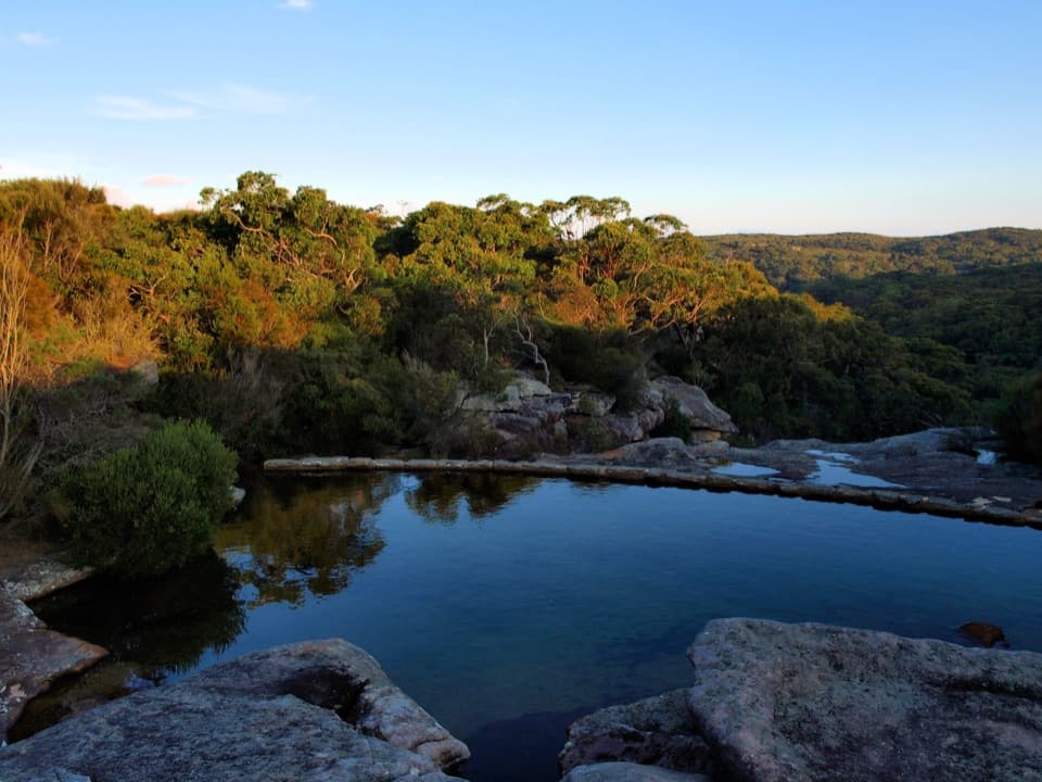
At the creekThe approach opens onto flat rocks beside a pool, shallow at the edge and deeper farther in.
The approach opens onto flat rocks beside a pool, shallow at the edge and deeper farther in. Water flow varies: the falls are stronger after rain, while the pool may take a while to clear after heavy rain. In strong wind, spray can blow back up the cliff as mist. The stream and its falls can look quite different from one visit to the next.
Eagle Rock beside the fallsEagle Rock is a separate landmark close to the waterfall, a large coastal rock formation whose…
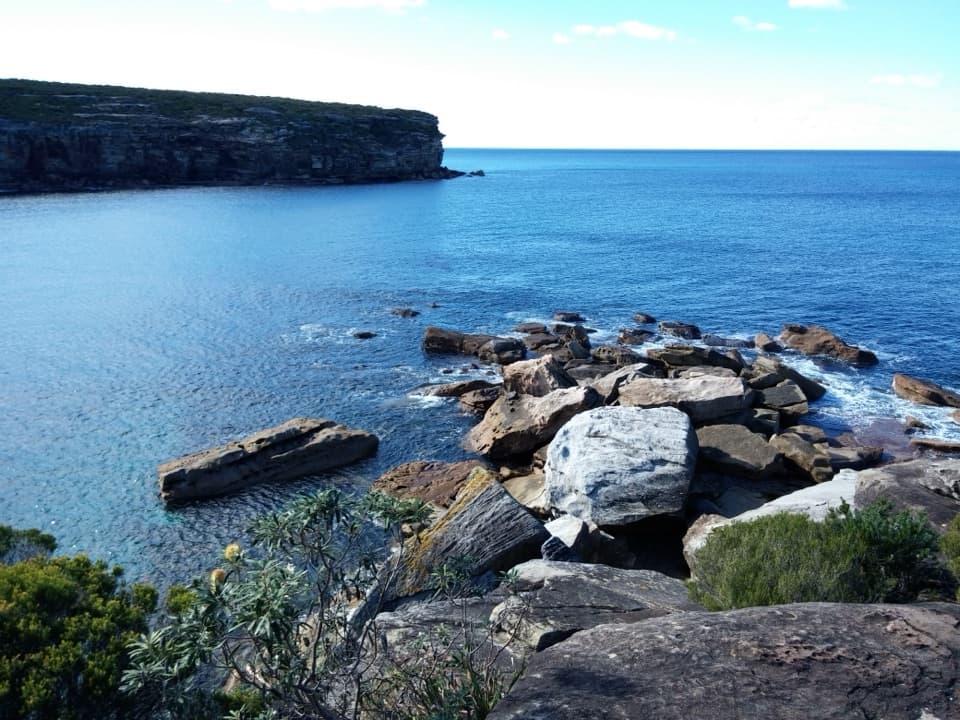
Eagle Rock is a separate landmark close to the waterfall, a large coastal rock formation whose outline resembles an eagle’s head. From a safe spot on the established path or rocks, include the ocean and Eagle Rock with the falls to show how unusual this coastal setting is. Some park material and track signs use the spelling “Curracurrang”; the waterfall is also listed as Curracurrong Waterfall.
Bring what you needThere are no facilities at the falls.
There are no facilities at the falls. Wattamolla, the walk’s starting area, has toilets, picnic tables, barbecues and parking, but NPWS advises bringing drinking and cooking water. There is no food outlet at the waterfall, so take water and snacks with you. Summer weekends and public holidays can bring traffic delays at the park; check current park alerts before you go.
Wildlife
Wildlife in Royal
 56 sightingsHumpback WhaleMost seen around 11 AMSighting map
 70 sightingsWhite-bellied Sea-EagleMost seen around 9 AMSighting map
 12 sightingsKoalaMost seen around 6 PMSighting map
 34 sightingsJavan RusaMost seen around 6 PMSighting map
 70 sightingsShort-beaked EchidnaMost seen around 5 PMSighting map
 11 sightingsRed FoxMost seen around 5 PMSighting map
Sighting maps show where each species has been reported across Royal. Wildlife moves, so no sighting is guaranteed.