Pros & cons
PROS
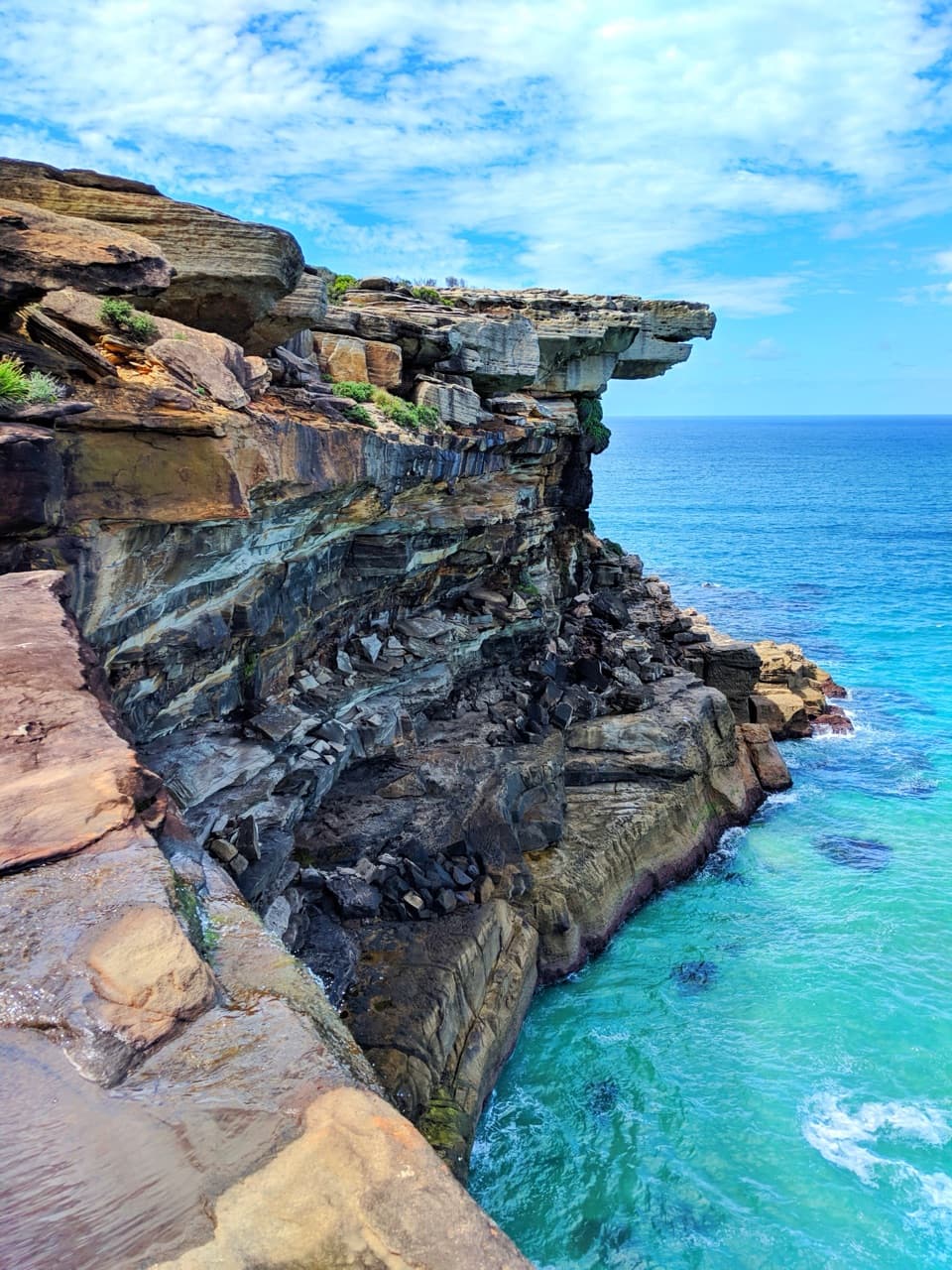
- Front‑on vantage of the eagle‑shaped cliff and ocean waterfall
- Reliable whale‑watching in season from the cliff‑top lookouts
CONS
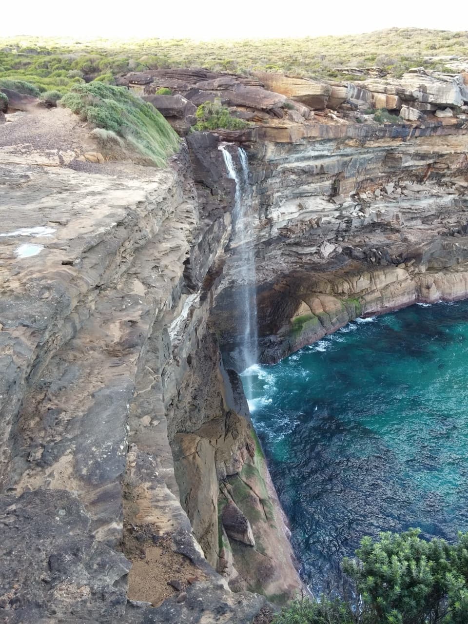
- Unfenced, exposed cliff edges with slippery rock near the falls
- Unmarked spur and a creek crossing can be tricky after rain
Overview
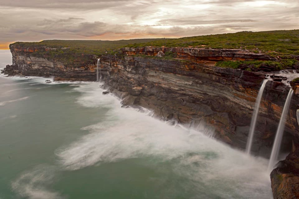
Eagle Rock is the dramatic, eagle‑shaped sandstone overhang you’ve seen in photos, perched beside Curracurrong Falls where the creek drops straight into the Pacific. On windy days the spray can blow upward; after rain it roars. In whale season, this headland doubles as a superb lookout.
Getting There (best route)
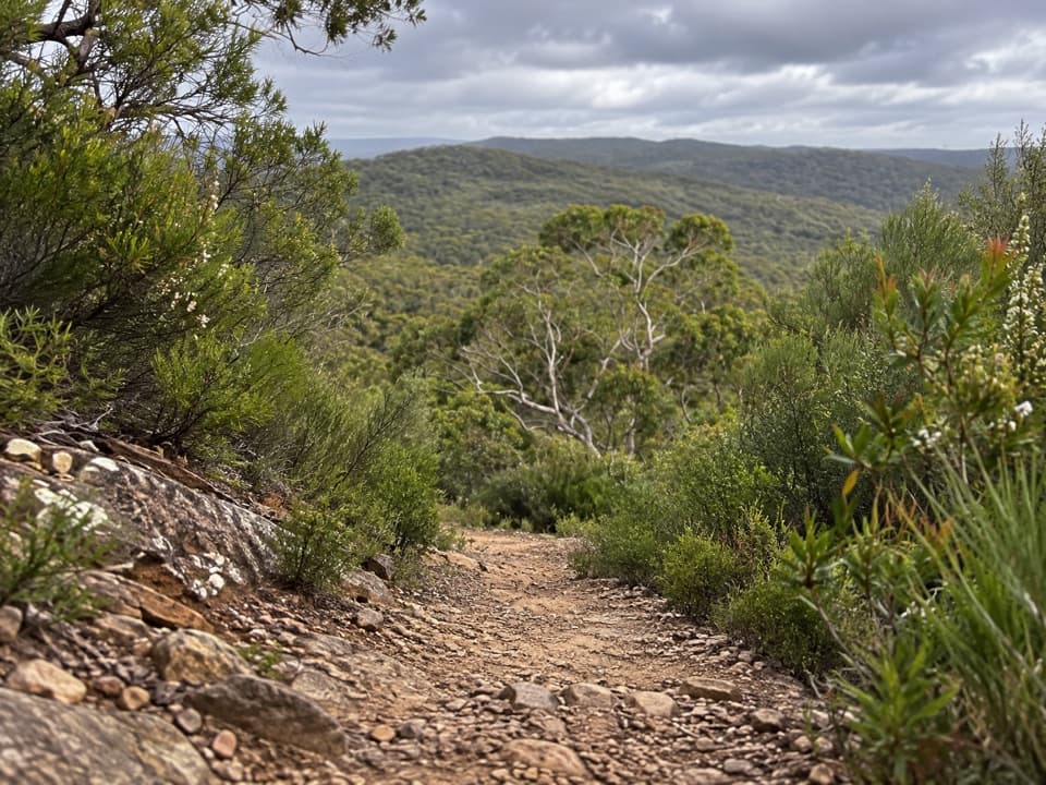
- Start from Wattamolla on the Coast Track. It’s roughly 2–3 hours return, mostly on well‑kept boardwalk and gridded metal sections with gentle grades.
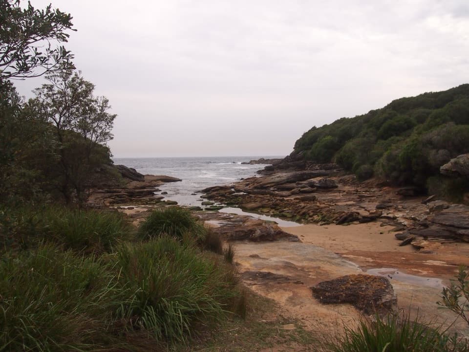
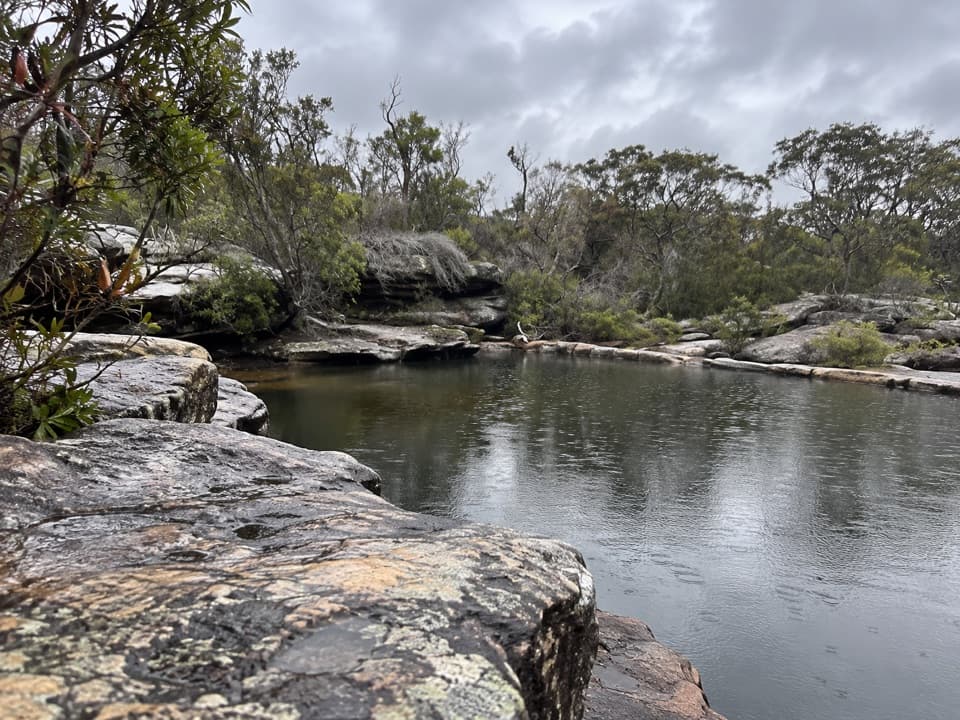
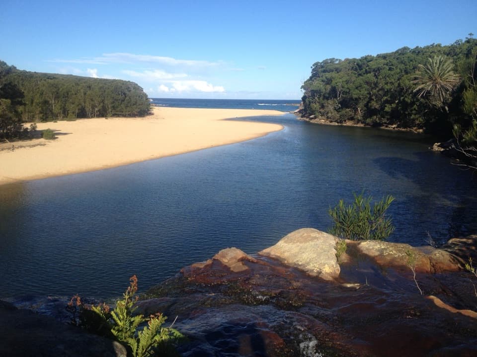
- Pass Curracurrang inlet, climb the gridded ramp, then cross Curracurrong Creek (more difficult after heavy rain).
- About 3.8 km from Wattamolla, look for a narrow, unmarked side path (~150 m) to the best front‑on view of Eagle Rock and the waterfall.
Alternatives
- Curra Moors Track: the easiest terrain—mostly flat fire trail—with great wildflowers and birdlife when in season.
- From Garie Beach: the most challenging, with one steep climb and exposed sections, but big ocean vistas.
What You’ll See
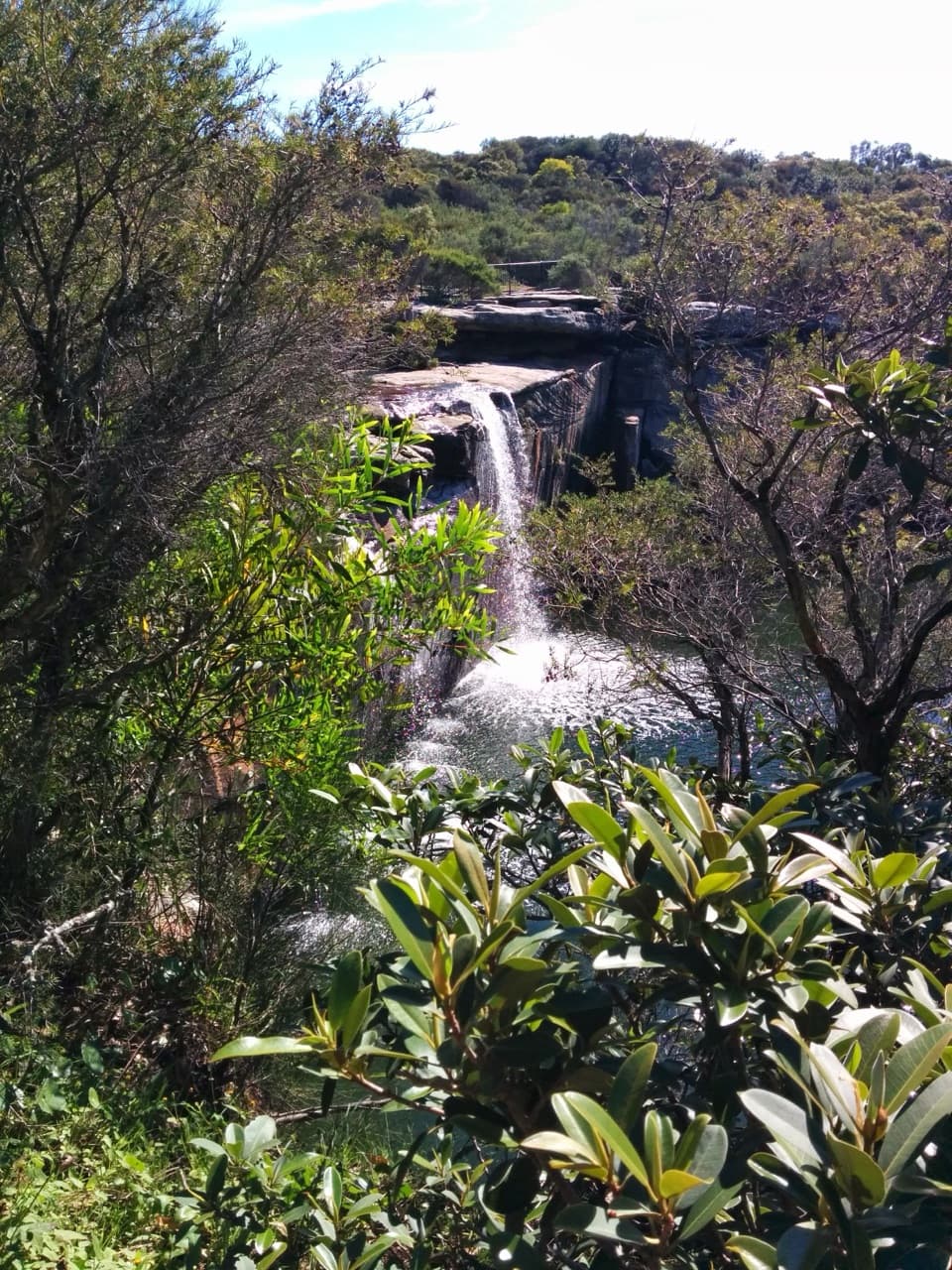
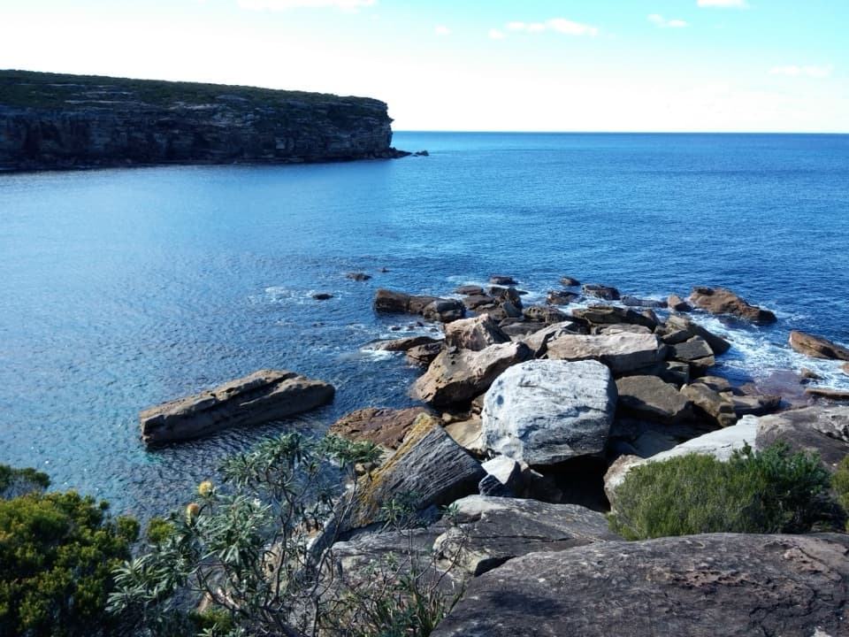
- The eagle‑profiled Hawkesbury Sandstone overhang and Curracurrong Falls plunging into the sea; a second nearby falls appears after rain.
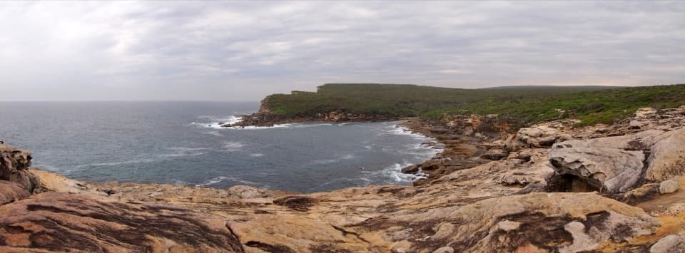
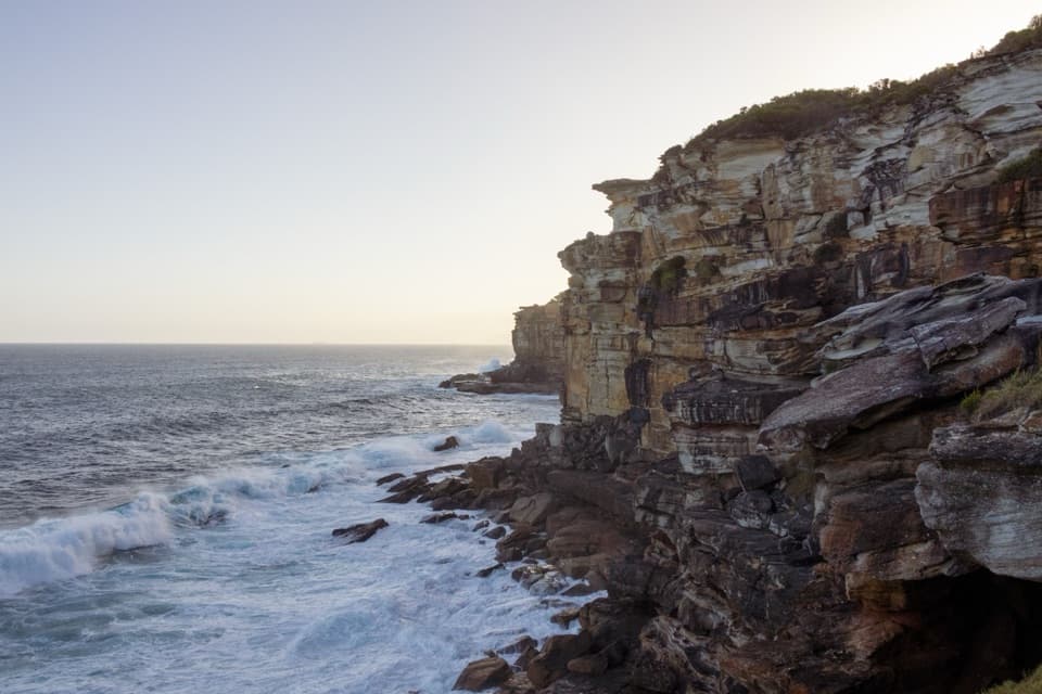
- Seasonal highlights: winter–spring wildflowers and regular whale sightings (May–November) from the coastal headlands.
Safety First
- Stay well back from unfenced cliff edges and never stand on the overhang; it’s an unsupported sandstone lip.
- Expect wind, spray and slick rock near the falls; the creek crossing can be wet after rain.
- Summer is hot and exposed—carry water, sun protection and a wind/rain layer; bring a torch if you’ll be out near sunset.
Logistics
- Trailhead: Wattamolla Picnic Area (multiple car parks that often fill on sunny weekends/holidays).
- Fees: $12 per vehicle for park entry; annual passes available.
- Hours: Royal National Park generally 7:00 am–8:30 pm.
- Facilities: At Wattamolla you’ll find toilets, picnic tables and BBQs; there’s no water or toilets on the track.
- Public transport: No regular service to Wattamolla; a seasonal private shuttle has operated from Sutherland Station (not on Opal). Check schedules before relying on it.
Best Time to Visit
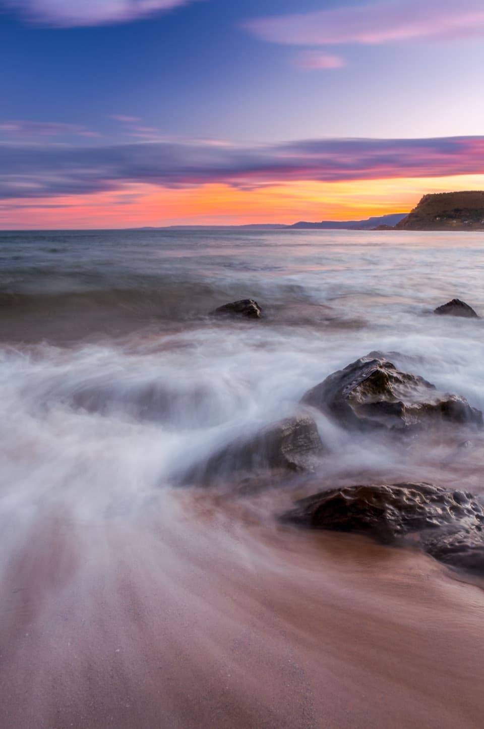
- Sunrise gives backlight on Eagle Rock; sunset makes for an atmospheric return hike—pack a torch.
- After rain for the most powerful flow; windy days can create that upward‑blown spray.
- For fewer people (and easier parking), go early or visit on weekdays outside school holidays.
Where it is
-34.1528, 151.0984Eagle Rock
Tips for Eagle Rock
- 01From Wattamolla, watch for a narrow spur about 3.8 km in for the best front‑on view.
- 02Go after rain—or on a windy day—to see the waterfalls at their most dramatic.
- 03Arrive early on weekends; Wattamolla car parks often reach capacity.
- 04Carry 1–2 L of water and strong sun protection—the route is very exposed.
- 05If staying for sunset, pack a torch for the walk back.
Amenities
Near Eagle Rock
All places →All trails →
0.1 mi awayCurracurrong FallsRare twin waterfall dropping straight into the PacificScenic Viewpoint
0.1 mi awayCurracurrong Falls LookoutFront-row cliff view of a waterfall pouring into the PacificScenic Viewpoint
0.6 mi awayCurracurrang Gully LookoutCreek crossing to a secret waterfall pool and ocean cliffsScenic Viewpoint
0.6 mi awayCurracurrang CoveShaded creek cove with a hidden freshwater swimming holeScenic Viewpoint
1.3 mi awayEagle Rock and Curracurrong Falls TrackCoastal boardwalk to a rare sea waterfall and eagle-shaped cliffModerate · 5 mi · 3 hr
1.3 mi awayWattamolla to Big Marley BeachClifftop boardwalk to dunes and lagoon at Big MarleyEasy · 5.7 mi · 3 hr
1.4 mi awayWattamolla to Eagle Rock and Curracurrong FallsCoastal boardwalk to a rare ocean plunge waterfall beside Eagle RockModerate · 5.3 mi · 3 hr
1.4 mi awayGarie to Wattamolla Coastal WalkSun-blasted clifftops to lagoon swims, with Eagle Rock in between.Moderate · 9.9 mi · 6 hr