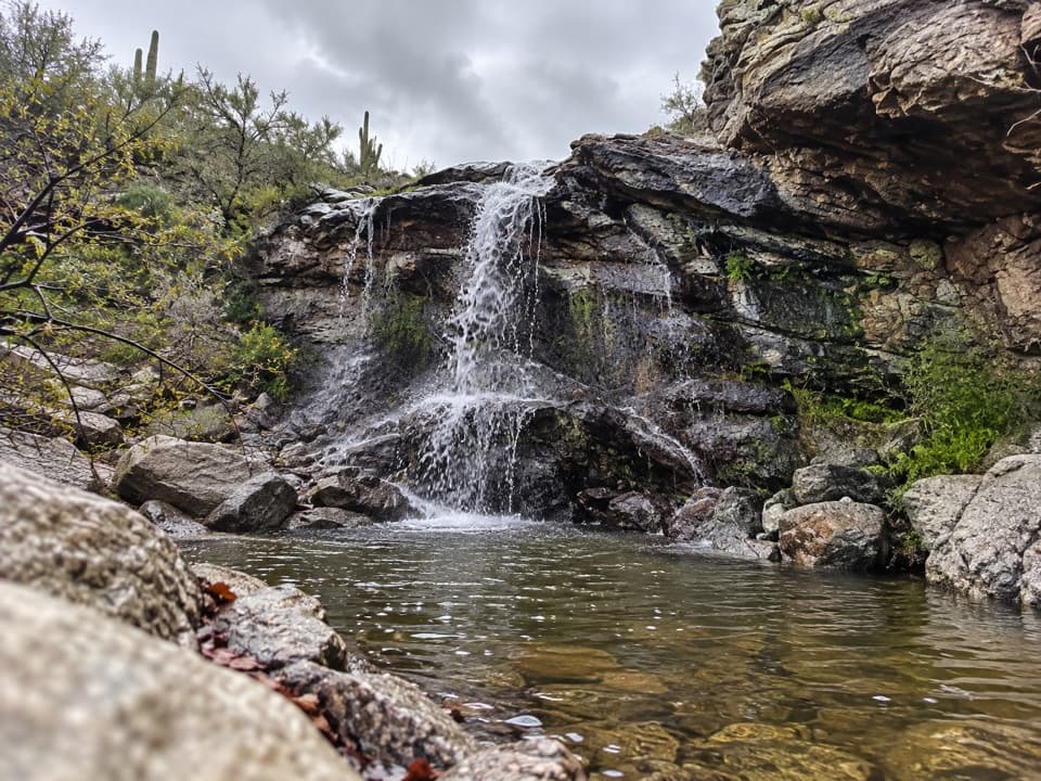
Signal Hill in Saguaro National Park

#1 of 24 sights in Saguaro

Sight · Saguaro National Park

Signal Hill

More than 200 Hohokam petroglyphs on a short desert hill walk.

Photo: Wikimedia Commons
Type
Sight
Nearest trail
Right here
Audio stories
13 nearby
  • Parking
  • Picnic tables
  • Restrooms
  • Scenic viewpoint

Hear the audio tour

Signal Hill Petroglyphs

Overview

About Signal Hill

Why stop

  • More than 200 petroglyphs in a compact stop
  • Picnic area and desert views round out the visit

Heads up

  • The rocky hill trail is uneven and not ADA accessible

Map

Where it is

Loading the Saguaro map
Full map
SightSignal Hill32.28986, -111.20903
Keep this map with you offline in the Parkwolf app

Plan your stop

Before you go

3 active Saguaro alerts

  • ClosureTucson Mountain District road closuresMentions Tucson Mountain District, referenced in this guideSeveral Tucson Mountain District roads are closed; follow posted closures and use McCain Loop to bypass the Kinney Road closure.Official details
  • CautionVehicle break-ins reported at trailheadsVehicle break-ins have occurred at King Canyon Trailhead and other park trailheads; secure your vehicle and valuables.Official details

See all 3 alerts
A park ranger sits on a dash-mounted phone, talking, as Parkwolf’s Tour Guide plays “Army Cutworm Moths: A Grizzly Bear Buffet” on Grand Loop Road below Dunraven Pass in Yellowstone
Parkwolf Tour GuideThe highest, rockiest slopes around here are a summer buffet for grizzly bears.

Saguaro Tour Guide

Your drive to Signal Hill, narrated.

Parkwolf is a GPS audio tour guide for Saguaro National Park. As you drive, it chimes in with what’s ahead: hidden gems, upcoming stops, history, geology, and wildlife, right through your car’s speakers.

See the Saguaro audio tour

Recorded for this place

Signal Hill Petroglyphs
0:00 / 0:36
“You're approaching Signal Hill, where more than two hundred Hohokam petroglyphs cover the dark boulders. Keep this stop if you want a little history alongside the cactus scenery.”

Plays as you drive up to Signal Hill in the Parkwolf Saguaro Tour Guide.

More stories near here in the app

  • How Javelinas Recognize Family
  • The Packrat’s Time Capsule
  • Hawks That Hunt Together
  • Valley View Overlook
  • 43 audio storiesacross Saguaro’s roads, triggered by GPS as you drive
  • Wildlife heatmapsfor Black Bear, Mountain Lion, Mule Deer, and 13 more
  • Works offlinemaps, 74 trails, 40 places, and audio download before you lose signal
  • CarPlay readysimple controls built for the drive
★★★★★
“Fantastic app with many points of information… It’s great to just turn on while you’re driving and it gives you an audio tour of the national Park. We love it!!!!”
JMJamesApp Store review
Download Parkwolf on the App StoreGet Parkwolf on Google Play

4.7 from 8,600+ ratings

Guide

More about Signal Hill

The carvings make this the stopSignal Hill is a low, rocky hill in Saguaro's Tucson Mountain District, just north of the…

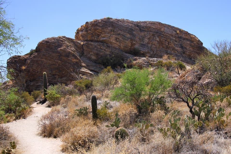
Signal Hill is a low, rocky hill in Saguaro's Tucson Mountain District, just north of the picnic area. More than 200 Hohokam petroglyphs cover its boulders, making this the park's best place to see its rock art. A short trail crosses a wash and climbs the hill, with desert and mountain views opening up around it. If you want more than a cactus-lined drive, keep this one near the top of your list.

Take the short climbThe path from the picnic area is short, but the final climb is uneven and stepped.

The path from the picnic area is short, but the final climb is uneven and stepped. The trail isn't ADA accessible, so the carvings aren't reachable by wheelchair. Stay on the marked path: the panels are fragile, and touching or stepping on the carved rock can damage them.

Read the dark rockLook for geometric, human-like and animal-like shapes.

Look for geometric, human-like and animal-like shapes. Many were pecked through the dark desert varnish, exposing lighter stone underneath. The contrast makes the designs stand out; some old marks have darkened again as the varnish slowly forms over them.

A Hohokam siteThe National Park Service attributes the carvings to the Hohokam, who lived in southern and…

The National Park Service attributes the carvings to the Hohokam, who lived in southern and central Arizona from about A.D. 450 to 1450. It estimates the Signal Hill images were made roughly 550 to 1,550 years ago, but direct dating is difficult and that range is broad. There isn't a reliable way to assign a meaning to each panel. Ideas such as stories, markers or wishes are speculation, and the artists' intent may be unknowable.

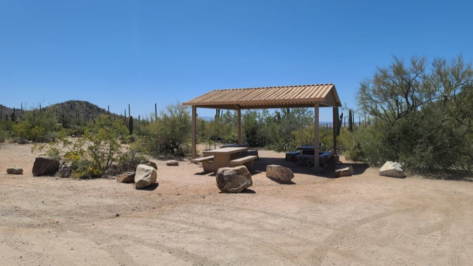
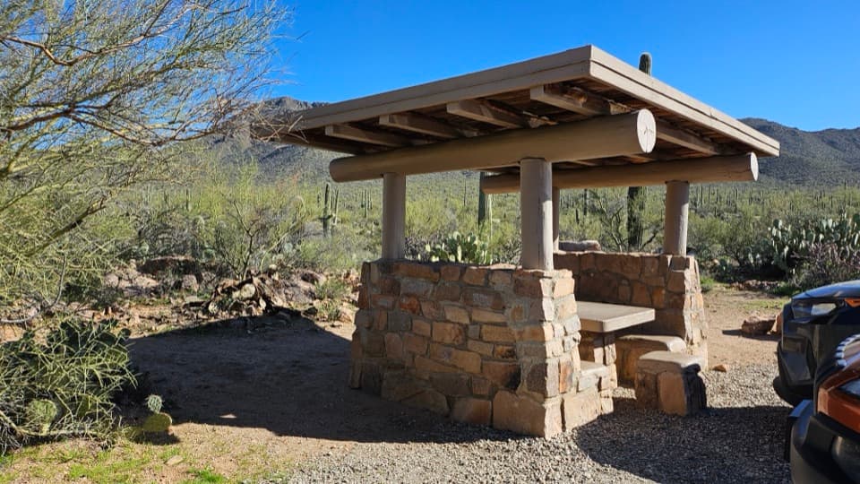
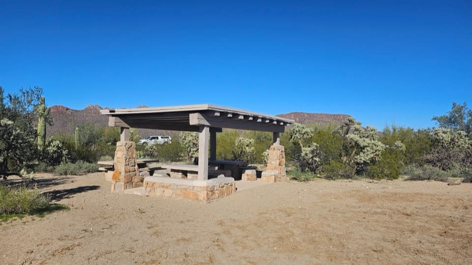
Pair it with a picnicThe picnic area and trails were built by the Civilian Conservation Corps in the 1930s.

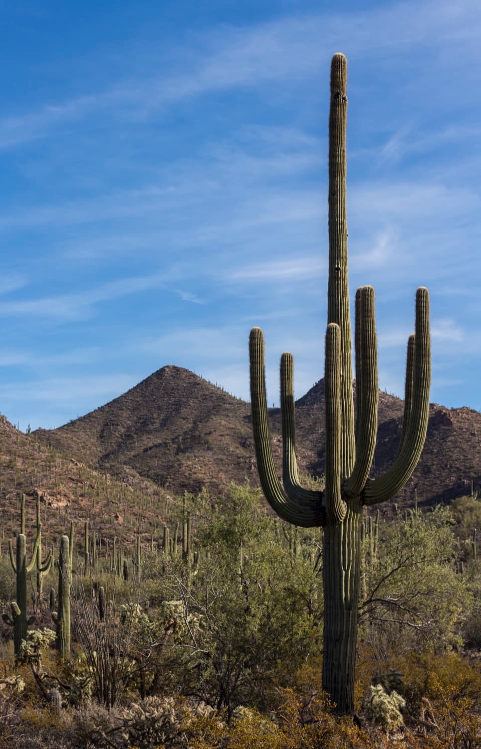
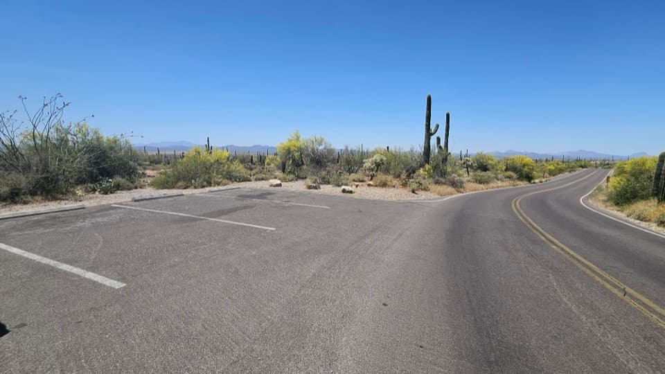
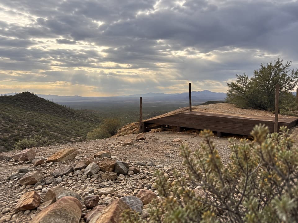
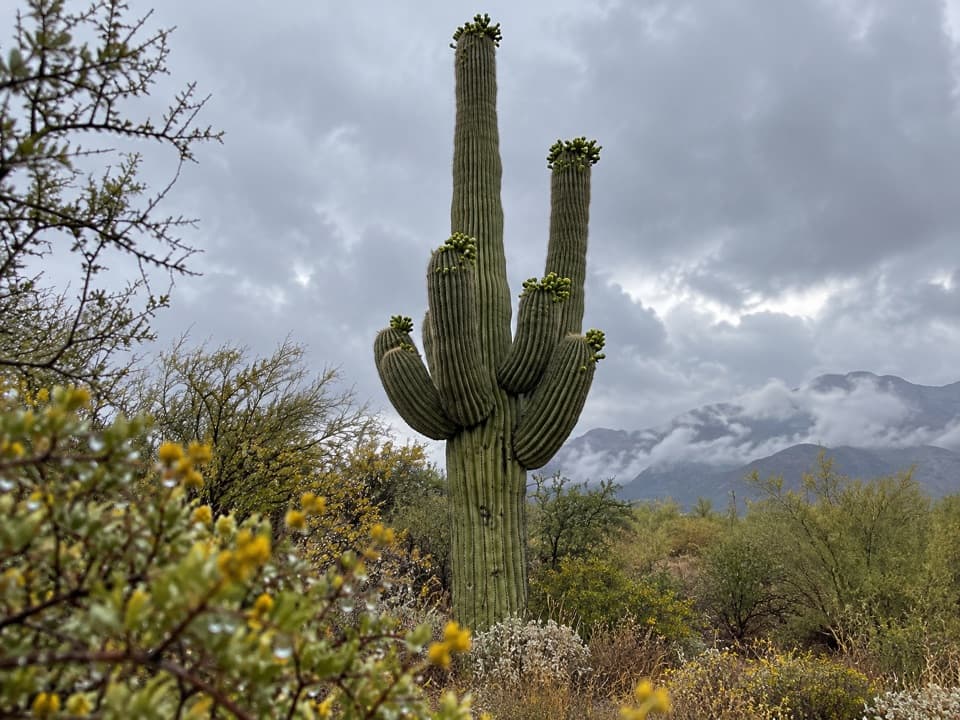
The picnic area and trails were built by the Civilian Conservation Corps in the 1930s. Parking, picnic tables, grills and restrooms make it easy to stay a little longer. For photos, frame a carved boulder with the saguaros and ridge beyond, then turn toward the open valley from the hilltop for a very different view.

Wildlife

Wildlife in Saguaro

All Saguaro wildlife maps

Sighting maps show where each species has been reported across Saguaro. Wildlife moves, so no sighting is guaranteed.

Keep exploring

Near Signal Hill

See it all on the map

Trails nearby

More stops nearby

Parkwolf’s Saguaro ranking

Top sights in Saguaro

All 40 places
  1. 2Javelina RocksScenic pullout
  2. 3Valley View OverlookSight
  3. 4Cactus Forest OverlookScenic pullout
  4. 5Gates Pass OverlookSight
  5. 6Arizona-Sonora Desert MuseumSight
  6. 7Bridal Wreath FallsSight

Take Parkwolf to Saguaro.

The audio tour guide for the drive, plus offline maps, trails, and wildlife heatmaps for when the signal drops.

4.7 from 8,600+ ratings

Download Parkwolf on the App StoreGet Parkwolf on Google Play