Parking
Start at Javelina Picnic Area at the southern end of Cactus Forest Loop Drive. The area has plentiful parking, restrooms, grills, and covered picnic tables.

#7 of 74 trails in Saguaro
Saguaro National Park, AZ
From cactus desert up to pines, then a view over Tucson.
Overview
Map & elevation
Plan your hike

The highest, rockiest slopes around here are a summer buffet for grizzly bears.
Saguaro Tour Guide
Parkwolf is a GPS audio tour guide for Saguaro National Park. As you drive, it chimes in with what’s ahead: hidden gems, upcoming stops, history, geology, and wildlife, right through your car’s speakers.
See the Saguaro audio tourRecorded for this trailhead
Javelina Picnic Area and Freeman Homestead“You're nearing the Freeman Homestead trail access and Javelina Picnic Area. For a meal break, bring a picnic to Javelina's covered tables; for a short walk nearby, I'd choose the homestead loop.”
Plays as you drive up to this trailhead in the Parkwolf Saguaro Tour Guide.
More stories near here in the app
“Fantastic app with many points of information… It’s great to just turn on while you’re driving and it gives you an audio tour of the national Park. We love it!!!!”


Trail guide
Tanque Verde Ridge Trail to Tanque Verde Peak is a strenuous out-and-back from Javelina Picnic Area in Saguaro’s Rincon Mountain District. The peak is about 8.7 miles one way, making this roughly 17.4 miles round trip with about 4,000 feet of climbing. Allow eight to eleven hours; ten hours is a sensible day plan. The route follows a long, rolling ridge before the final climb to the summit, so it suits hikers who want an all-day desert crossing as much as a peak. The lower miles are open to the sun, the footing is rocky, and the ascent includes repeated dips and climbs. If all you want is an evening view, the first overlook is about 0.6 mile each way and 100 feet above the picnic area; you can make that your turnaround instead.
The trail starts beside the picnic area and crosses low, rolling ground before climbing onto the ridge. By roughly three-quarters of a mile, the view opens south, west and north over the Tucson Basin and other mountain ranges. This is a good place to decide whether the full ridge is right for you: the summit is still many hours away, and the exposed approach offers little shade. Ocotillo and saguaros line the lower slopes, and the ridge keeps rising and falling rather than giving you one steady climb.
Around mile 2.5, look for a crested saguaro, an unusually fan-shaped crown that stands out against the rocky hillside. At about mile 3, the trail reaches the Dome, a broad bare rock surface with a much wider view. Keep a strip of that rock in the bottom of a photo so the Tucson Basin reads as a view from the ridge, not a distant panorama with no sense of where you’re standing. The next miles continue across open ridgeline, with rocky outcrops and seasonal wildflowers adding detail to the desert scrub.
Juniper Basin is about 6.9 miles from the start. The route drops into a different landscape here: desert scrub gives way to oak savanna and then pine and juniper woodland around the campground, near 6,000 feet. Three reservable wilderness campsites make it possible to split the climb overnight, but a reservation is required. Water there is seasonal and often dry, so don’t plan on filling up at the basin. The tread can blend into grass or brush near this area, and route descriptions differ on how much that affects navigation; keep the trail line in view and pay attention to cairns. Turning around at Juniper Basin makes a still-demanding hike of about 13.8 miles round trip.
Beyond the basin, the trail climbs again toward the summit. A short Class 2 scramble leads onto the peak’s summit block, where the view opens toward Tucson, Rincon Peak and Mount Lemmon. The route continues beyond Tanque Verde Peak toward Cow Head Saddle, but that longer extension is a different turnaround and is not included in this hike. The trail continues beyond Tanque Verde Peak toward Cow Head Saddle; that longer ridge extension is not part of this peak out-and-back.
Start at the Tanque Verde Ridge Trailhead at Javelina Picnic Area, at the southern end of Cactus Forest Loop Drive. The picnic area has parking, restrooms, grills and covered tables. There is no dependable water along the ridge; natural water is seasonal, may be absent, and needs treatment before drinking. Bring enough for the full day and check the park’s backcountry water report before relying on a source. Dogs are prohibited on this trail; service animals are allowed. Day hikers need park entry, while an overnight at Juniper Basin requires an advance campsite reservation.
Wildlife
 19 sightingsBlack BearMost seen around 6 AMSighting map
 56 sightingsMountain LionMost seen around 6 AMSighting map
 266 sightingsMule DeerMost seen around 6 PMSighting map
 113 sightingsCollared PeccaryMost seen around 6 PMSighting map
 53 sightingsBobcatMost seen around 6 AMSighting map
 127 sightingsCoyoteMost seen around 6 PMSighting map
Sighting maps show where each species has been reported across Saguaro. Wildlife moves, so no sighting is guaranteed.
Keep exploring
 EasyFreeman Homestead Trail1 mi · 45 min · 0.1 mi awayA homestead, giant saguaros, and a sandy wash in one mile.
 EasyLime Falls Trail2.7 mi · 1.5 hr · 2.3 mi awayLime kilns and a rain-fed falls chute beyond the cactus forest
 ModerateCactus Forest Trail5 mi · 3 hr · 2.4 mi awayA five-mile desert out-and-back past saguaros and old lime kilns.
 EasyDesert Ecology Trail0.3 mi · 15 min · 2.6 mi awayA short paved loop with benches and signs about Sonoran Desert ecology.
 EasyLoma Verde Loop3.8 mi · 2 hr · 2.7 mi awayAn easy desert loop with a wide view from Pink Hill.
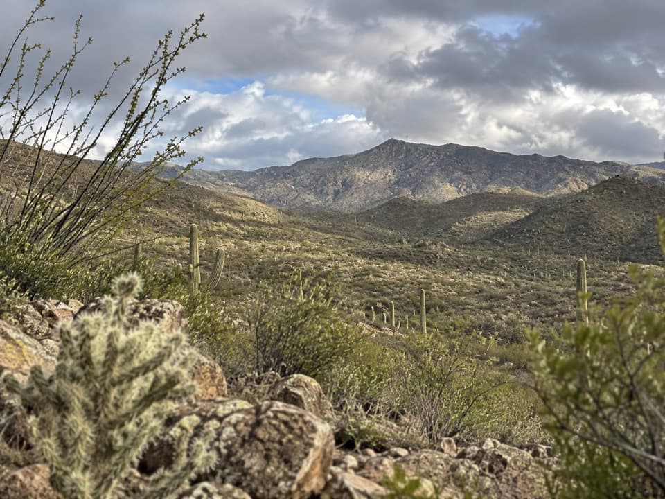 ModerateRidgeview Trail2.6 mi · 1.8 hr · 3.1 mi awayA steady climb opens onto a broad Rincon Mountain view.
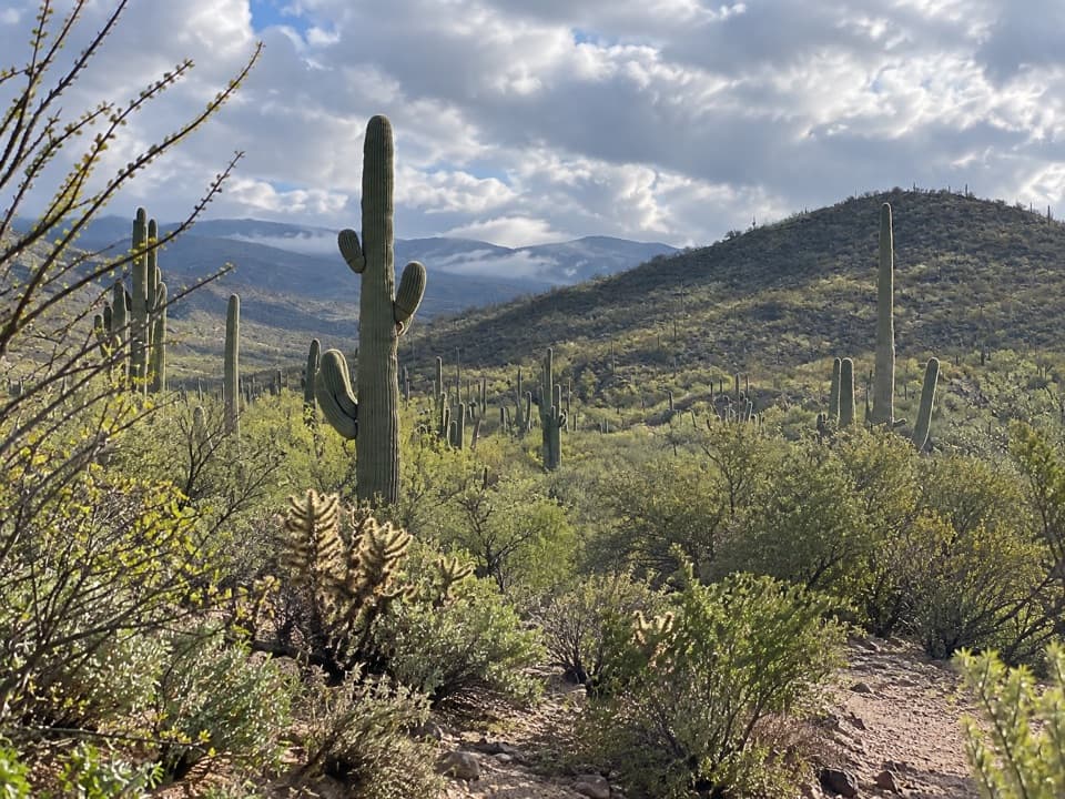 ModerateRuiz and North Coyote Wash Loop5.8 mi · 2.8 hr · 3.1 mi awayA lesser-used loop through unusual saguaros and open ridge country
 ModerateHope Camp Trail7 mi · 4 hr · 3.1 mi awayA long desert road leads to old windmills and wide Rincon views.
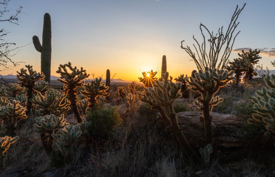 Picnic area · At the trailheadJavelina Picnic AreaShaded tables; a steep ridge trail starts right by the lot.
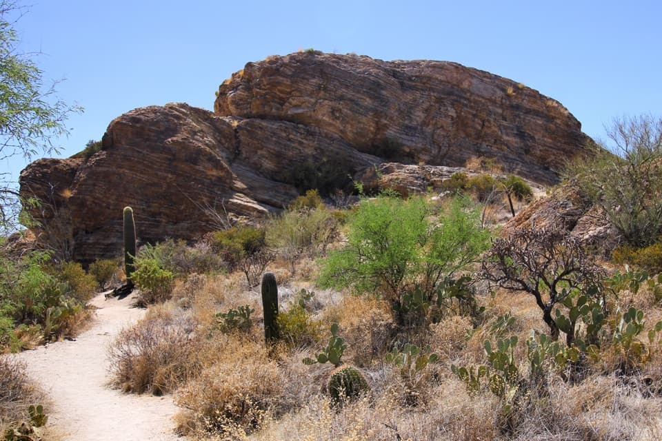 Scenic pullout · 0.7 mi awayJavelina RocksA short rock scramble earns a wide sunset view over saguaros.
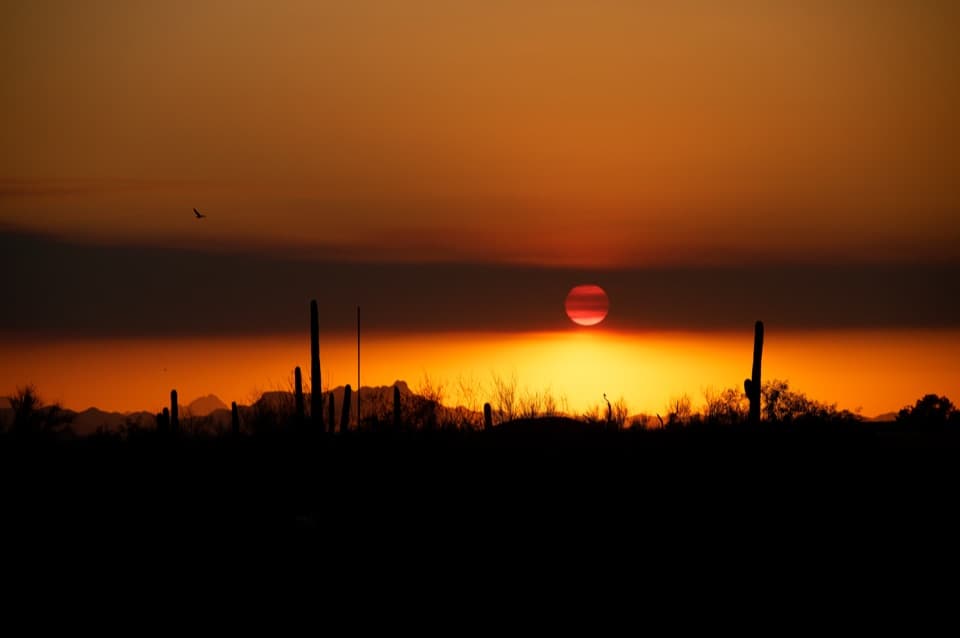 Scenic pullout · 1.1 mi awayDesert Living OverlookThe final Cactus Forest Drive stop for one last saguaro view.
 Restaurant · 1.2 mi awaySaguaro Corners Restaurant & BarA 1956 roadside restaurant with desert views and a neon sign.
 Scenic pullout · 1.2 mi awayFuture Generations OverlookA quick first pullout with an open view and a conservation story.
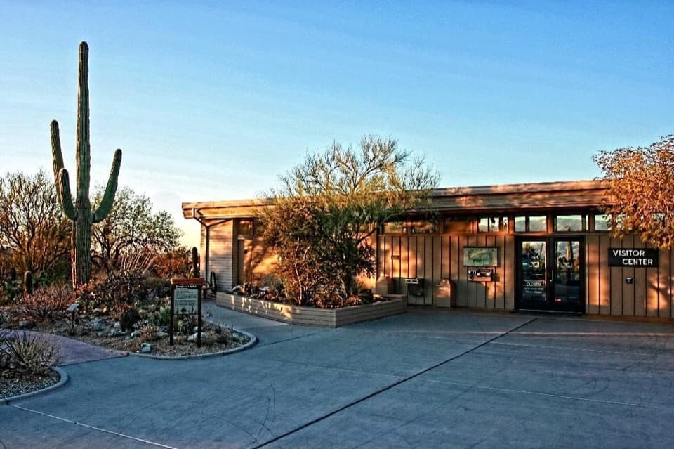 Visitor center · 1.2 mi awayRincon Mountain Visitor CenterStart here for maps, desert exhibits and the Cactus Forest Loop.
 Sight · 1.3 mi awaySaguaro East Entrance SignA quick marker on the way into the Rincon foothills.
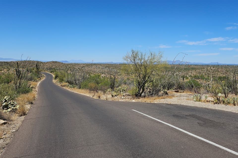 Scenic pullout · 1.5 mi awayCactus Forest Sunset PulloutA small sunset stop between Rincon Mountain Overlook and Javelina Rocks.
Parkwolf’s Saguaro ranking

The audio tour guide for the drive, plus offline maps, trails, and wildlife heatmaps for when the signal drops.




