Parking
Loma Alta Trailhead is at the north end of Camino Loma Alta. Passenger cars can reach its lot, but space is limited and often fills on weekends. Horse trailers must park in the lower area just beyond where the pavement ends.
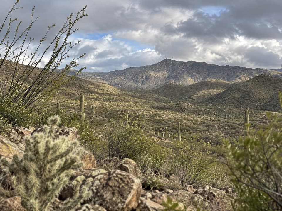
Saguaro National Park, AZ
A steady climb opens onto a broad Rincon Mountain view.
Overview
Map & elevation
Plan your hike

The highest, rockiest slopes around here are a summer buffet for grizzly bears.
Saguaro Tour Guide
Parkwolf is a GPS audio tour guide for Saguaro National Park. As you drive, it chimes in with what’s ahead: hidden gems, upcoming stops, history, geology, and wildlife, right through your car’s speakers.
See the Saguaro audio tourRecorded for this trailhead
Loma Alta: Ridgeview’s Canyon View“You’re approaching Loma Alta Trailhead, where Ridgeview offers a shorter uphill outing with views into Box Canyon and toward Rincon Peak.”
Plays as you drive up to this trailhead in the Parkwolf Saguaro Tour Guide.
More stories near here in the app
“Fantastic app with many points of information… It’s great to just turn on while you’re driving and it gives you an audio tour of the national Park. We love it!!!!”


Trail guide
Ridgeview Trail is an out-and-back from Loma Alta Trailhead. Follow Hope Camp for about a tenth of a mile, then turn left onto Ridgeview and climb to the ridge turnaround. The full connected route measures about 2.6 miles round trip and usually takes around 1½ to 2 hours. It is a short, moderately steep desert hike, with the view opening as you gain ground. Do this one when you want a straightforward uphill walk and a broad look into Box Canyon and toward the Rincon peaks; skip it if you’re looking for shade or an easy stroll.
The mileage needs a little explaining: the NPS lists both 2 miles and 2.2 miles, while the Hope Camp connector plus the full mapped Ridgeview trail works out to about 2.6 miles round trip. No source marks an earlier turnaround, so this guide follows the complete named route and uses the longer measured figure.
Start at Loma Alta Trailhead and stay on Hope Camp for roughly 0.1 mile. Turn left when Ridgeview branches off; going straight keeps you on the longer Hope Camp route. Ridgeview starts climbing soon after the junction. Rincon Peak comes into view after the first short slope, and the outlook widens as you continue toward the turnaround. The return follows the same path back to Loma Alta.
The upper hillside looks across Box Canyon and the rocky side canyons of Tanque Verde Ridge, with Rincon Peak rising beyond. At the turnaround, keep a little of the rough ridge in the foreground if you want the canyon and mountain scale to read in a photo. In wetter periods, waterfalls can show on the ridge. Mexican gold poppies may bloom here after good fall and winter rains, but they’re an occasional bonus, not something to plan a trip around.
The short approach follows an old homesteading road once used to drive cattle to a line camp. The Rincon Valley trail system reuses restored ranch roads, so even the first stretch of this hike runs through working-land history. The Rincons in the distance are a metamorphic core complex raised along the Catalina Fault; the broken, steep-sided mountain skyline is part of the view.
Much of the climb is open to the desert sun. Carry water and time the hike around the heat. The surrounding Rincon Valley expansion still includes private parcels, so keep to the signed public route. Pets aren’t allowed on this trail; service animals are exempt.
Wildlife
 19 sightingsBlack BearMost seen around 6 AMSighting map
 56 sightingsMountain LionMost seen around 6 AMSighting map
 266 sightingsMule DeerMost seen around 6 PMSighting map
 113 sightingsCollared PeccaryMost seen around 6 PMSighting map
 53 sightingsBobcatMost seen around 6 AMSighting map
 127 sightingsCoyoteMost seen around 6 PMSighting map
Sighting maps show where each species has been reported across Saguaro. Wildlife moves, so no sighting is guaranteed.
Keep exploring
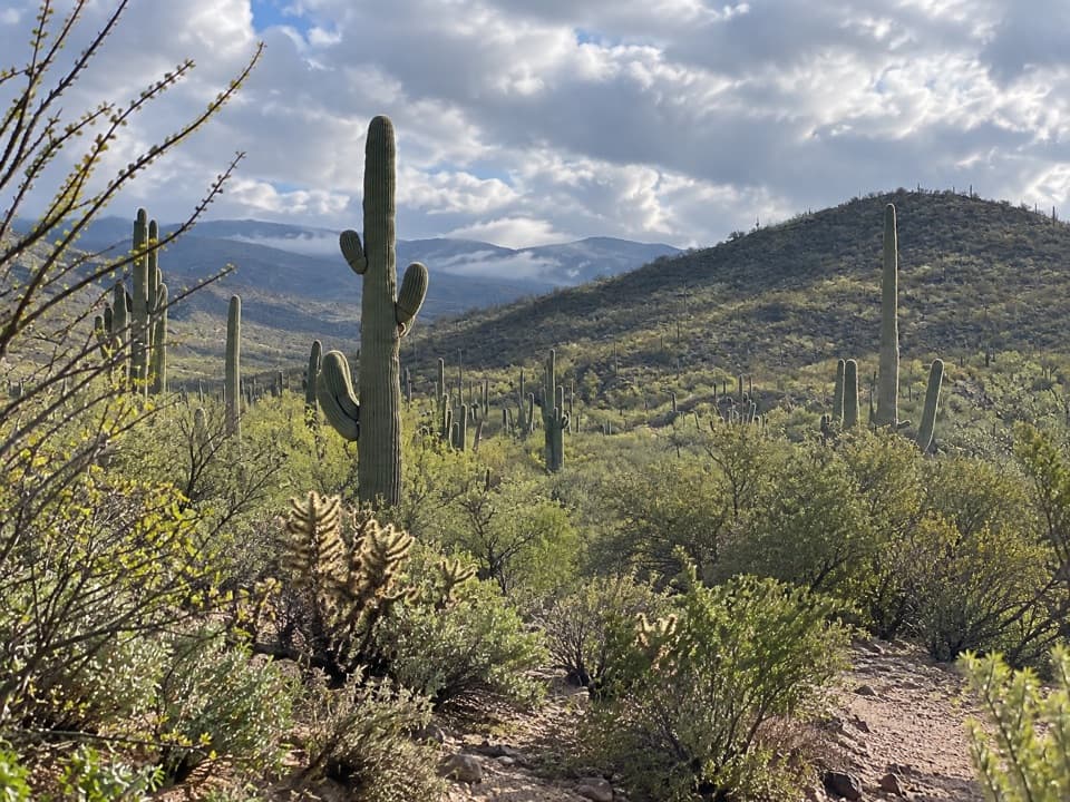 ModerateRuiz and North Coyote Wash Loop5.8 mi · 2.8 hr · At the trailheadA lesser-used loop through unusual saguaros and open ridge country
 ModerateHope Camp Trail7 mi · 4 hr · At the trailheadA long desert road leads to old windmills and wide Rincon views.
 ChallengingQuilter Trail14.6 mi · 9 hr · At the trailheadTwo old cattle camps break up a long desert hike.
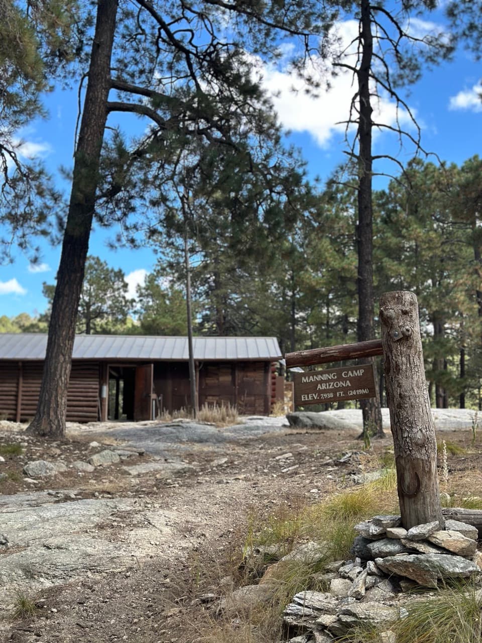 ChallengingManning Camp Trail26 mi · 18 hr · At the trailheadA long climb from saguaros to a high, pine-shaded camp.
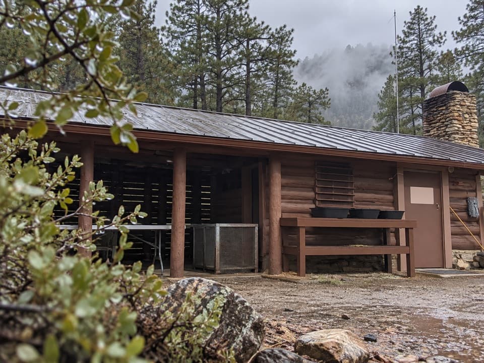 ChallengingArizona Trail Passage 9: Rincon Mountains24.3 mi · 16 hr · 2.5 mi awaySaguaros give way to pines after a 6,000-foot climb.
 ChallengingTanque Verde Ridge Trail to Tanque Verde Peak17.4 mi · 10 hr · 3.1 mi awayFrom cactus desert up to pines, then a view over Tucson.
 EasyFreeman Homestead Trail1 mi · 45 min · 3.2 mi awayA homestead, giant saguaros, and a sandy wash in one mile.
 ModerateCactus Forest Trail5 mi · 3 hr · 5 mi awayA five-mile desert out-and-back past saguaros and old lime kilns.
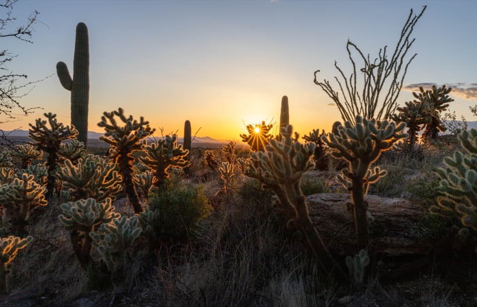 Picnic area · 3.1 mi awayJavelina Picnic AreaShaded tables; a steep ridge trail starts right by the lot.
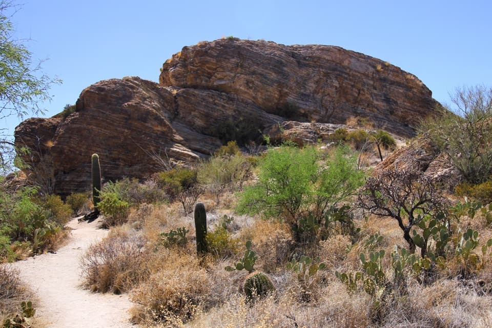 Scenic pullout · 3.4 mi awayJavelina RocksA short rock scramble earns a wide sunset view over saguaros.
 Sight · 3.7 mi awayRincon Mountains OverlookA roadside panorama over the Cactus Forest toward the Rincon Mountains.
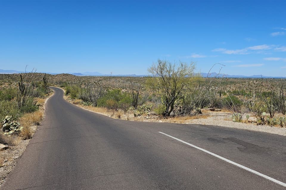 Scenic pullout · 3.8 mi awayCactus Forest Sunset PulloutA small sunset stop between Rincon Mountain Overlook and Javelina Rocks.
 Campground · 4 mi awayJuniper Basin CampgroundA three-site wilderness camp after a 6.9-mile climb.
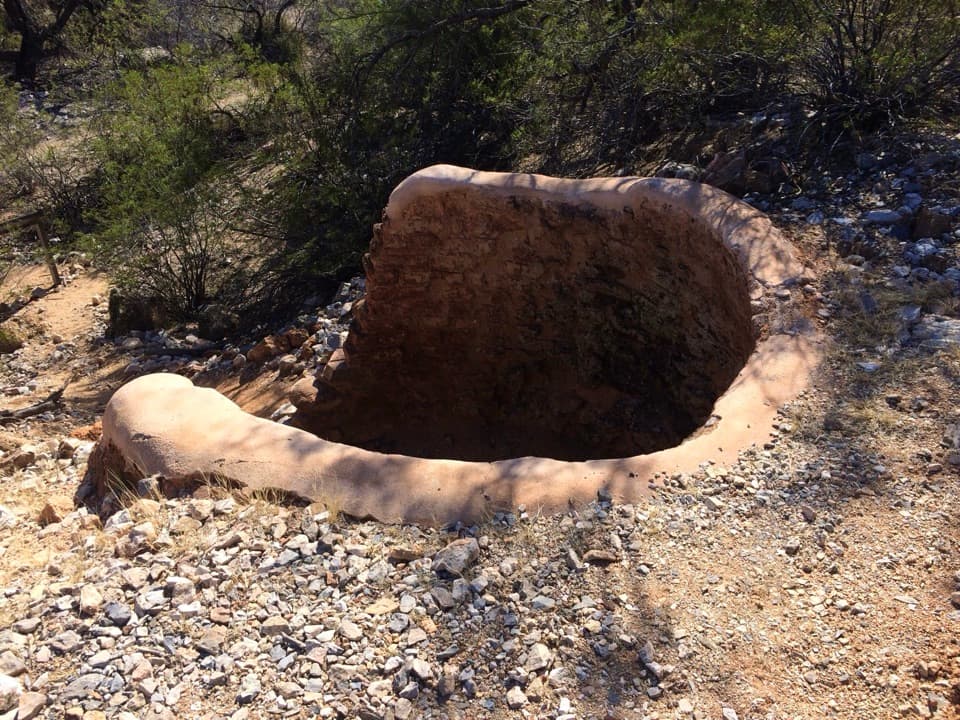 Sight · 4.2 mi awayCactus Forest Lime KilnsA signed spur to Saguaro's historic lime-kiln ruins.
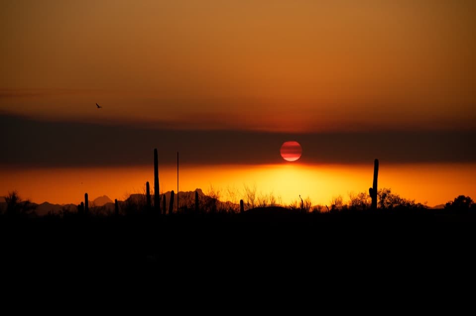 Scenic pullout · 4.3 mi awayDesert Living OverlookThe final Cactus Forest Drive stop for one last saguaro view.
 Restaurant · 4.3 mi awaySaguaro Corners Restaurant & BarA 1956 roadside restaurant with desert views and a neon sign.
Parkwolf’s Saguaro ranking

The audio tour guide for the drive, plus offline maps, trails, and wildlife heatmaps for when the signal drops.




