Overview
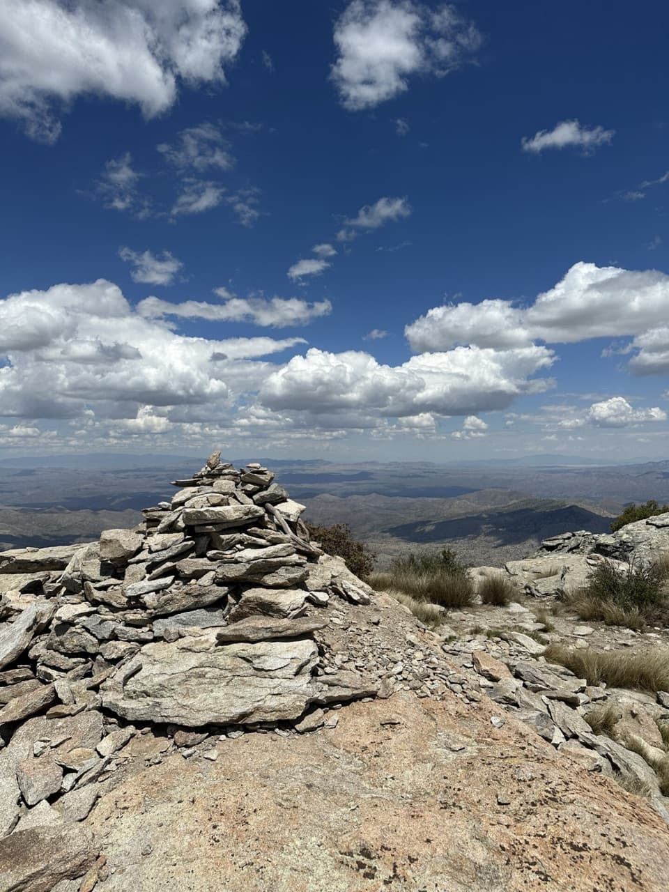
Rincon Peak is the tough, high-reward summit of the park’s east side—an 8,482-foot stone cap with huge desert-to-sky views. You’ll earn it: this is a long, steep day with a sustained climb and a notorious final push that feels almost vertical at times. The payoff is a broad, windswept, treeless summit marked by a giant cairn and all-direction vistas.
The Hike (Miller Creek route)
- Access is via Mescal Road, a well-graded dirt road with several creek crossings; conditions vary, and high-clearance is often helpful. There’s no fee station at the trailhead.
- Distance and gain: roughly 13.7–16 miles round trip with about 4,300–4,537 feet of elevation gain.
- The first 1–1.5 miles along Miller Creek are gentle and shaded through riparian terrain (outside the park). You’ll pass ranch land—close any livestock gates you open.
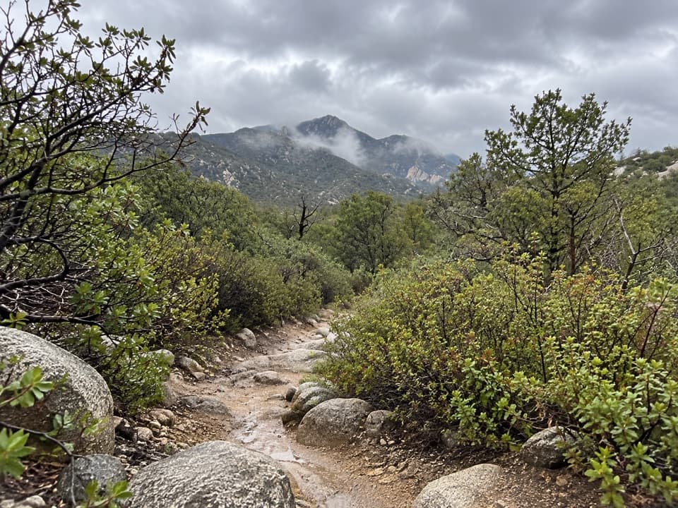
- Entering the park, the climb kicks in over rock and gravel with occasional cairns across slickrock slabs. Expect long switchbacks and some blowdowns higher up.
- Around 4 miles in and ~6,200 feet, reach Happy Valley Campground—a flatter, piney reprieve with designated sites.
- From there, the Rincon Peak Trail steepens, culminating in tight, relentless switchbacks to a broad, rocky, often windy summit.
What You’ll See
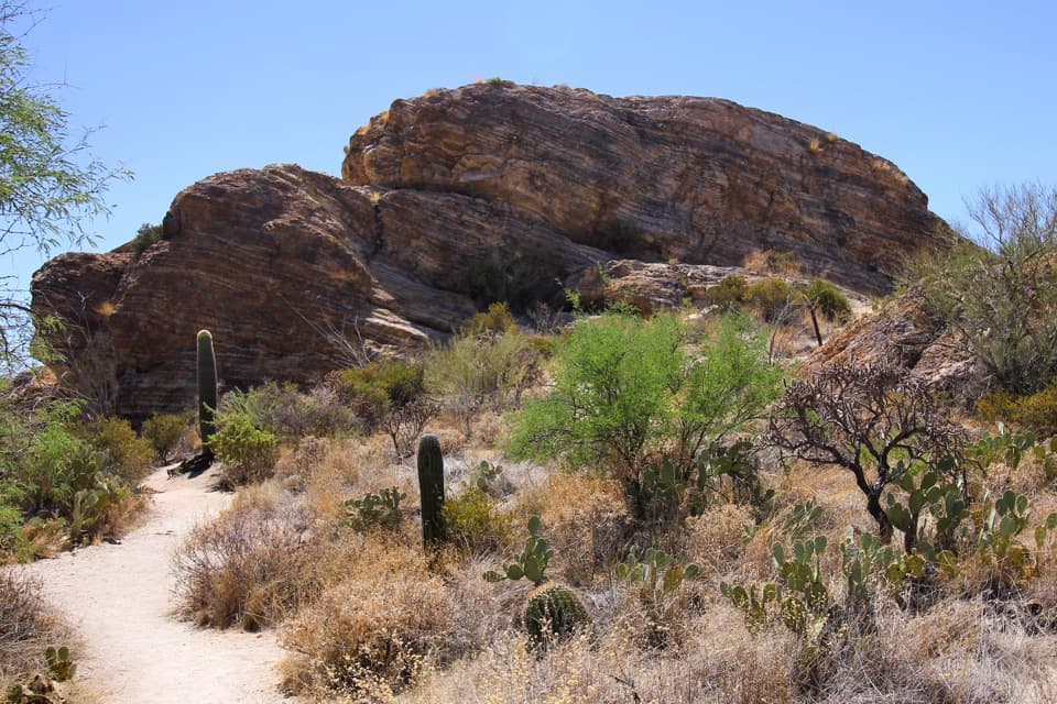
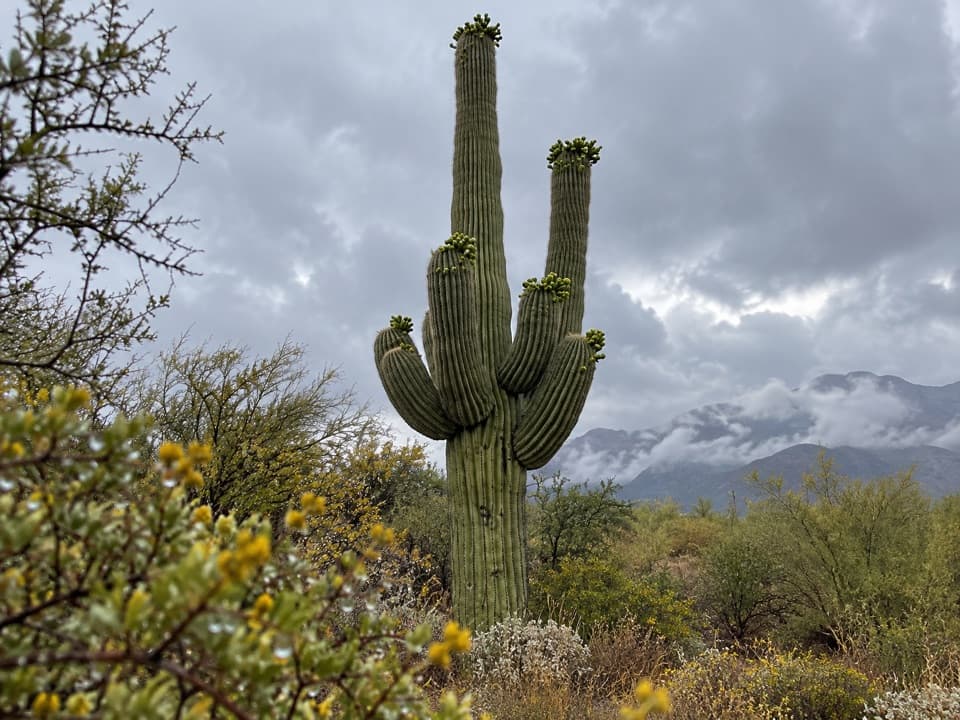
This hike is a tour of ecosystems: riparian creekside, desert slopes, then oak/juniper transitioning to tall ponderosa pines. Despite the park’s name, you won’t see saguaros up high. Keep an eye out for birds of prey riding thermals near the summit; cattle are sometimes near the lower trailhead area.
Permits, Fees, and Rules
- There’s no booth at the trailhead, but once you hike into the park, an entry fee or federal pass is required.
- Backpacking is allowed only in designated sites and requires an advance permit via Recreation.gov. Happy Valley Campground has three sites, a nearby pit toilet, and bear boxes.
- Dogs are not allowed on the park’s backcountry trails here.
Water and Trail Conditions
Water is seasonal at best—sometimes in Miller Creek or small pools near Happy Valley after precipitation. Most hikers carry everything they need and treat any found water. Expect sections of loose gravel, occasional overgrowth, downed logs, and a very steep final mile. Trekking poles are a big help on the descent. Snow and ice are possible in winter.
Tips for Making It Great
- Start early (pre-dawn in warm months) and plan for a full-day effort.
- Bring sun protection plus a warm layer—the summit is exposed and often windy.
- Download an offline map; cairns help on rocky stretches, and cell service is limited.
- If road conditions are soft or wet, a high-clearance vehicle makes the approach less stressful.
Best Time to Visit
Spring and fall offer the most forgiving temperatures. October–May generally works, but winter storms can leave snow and ice up high. In hot months, go very early and carry more water than you think you’ll need. Weekdays see fewer hikers; aim for morning light for cooler temps and clear views.