Happy Valley Saddle Campground

Remote hike-in camp with views, fire rings, and bear boxes
Happy Valley Saddle Campground, Saguaro National Park
InsideSaguaro National Park

Overview

Happy Valley Saddle Campground is a quiet, hike-in backcountry spot in the Rincon Mountain District at about 6,200 feet. With just three designated sites, it stays pleasantly uncrowded and is a popular staging point for tackling Rincon Peak. It’s also the park’s shortest hike to a backcountry campground—still a stout climb, but a manageable first taste of Saguaro’s wilderness.

Getting There

Reach it from the east side via the Miller Creek or Turkey Creek trailheads. From I‑10, take Exit 297 (Mescal Road): the first two miles are paved, then you’re on USFS Route #35 (Happy Valley Road), a graded dirt road with multiple stream crossings. The Miller Creek turnoff is about 16 miles from the interstate; Turkey Creek is another 0.5 miles beyond. The road is rarely maintained and can be impassable during wet winters and monsoon season. Generally, Miller Creek is accessible with 2WD; Turkey Creek typically requires high‑clearance 4WD.

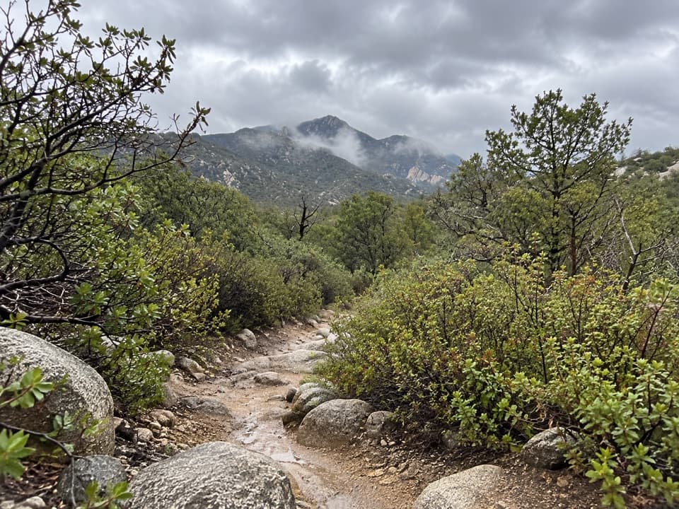
The hike in runs roughly 3.9–4.1 miles one way with more than 2,000 feet of elevation gain. It’s steep, but the scenery ramps up with the elevation.

Campsites & Amenities

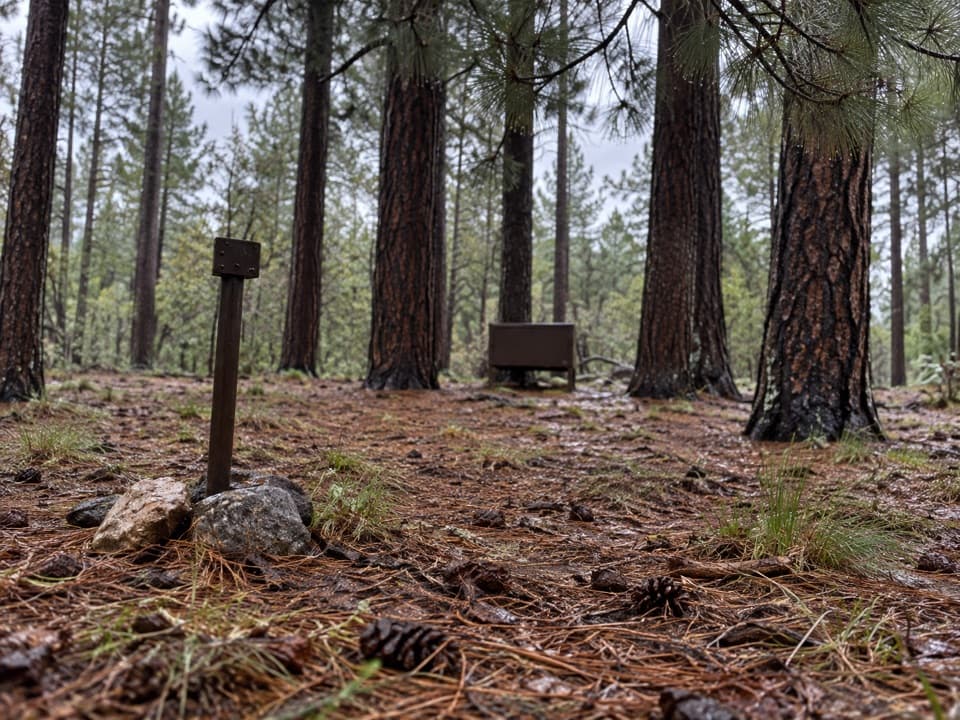
There are three designated tent sites, each with a fire ring and a bear box. Campfires are allowed when conditions permit—use only dead and downed wood and make sure your fire is fully out. There are no restrooms or other developed facilities; plan to pack out all waste and practice Leave No Trace. A backcountry/wilderness permit is required, and sites hold up to six people.

Water: The Reality Check

Water here is fickle. A nearby creek often goes subsurface in sandy stretches; you may need to follow it downstream to find exposed pools. Always carry plenty—at least one gallon per person per day—and treat anything you collect. Before your trip, check current water reports with the visitor center.

Seasonal Factors & Safety

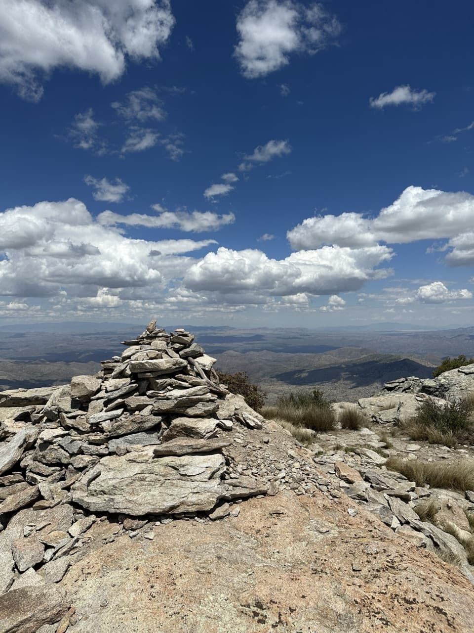
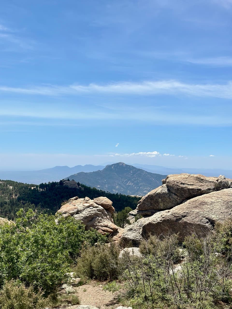
Expect wintry storms to affect conditions at this elevation and be cautious around dead pines in the area. The access road can be a show‑stopper during wet winters and monsoon season. Cell service in the Saguaro Wilderness is inconsistent; you may only find a signal from higher viewpoints. Summer brings heat lower down but can deliver big eastern views from the higher country. Watch for snakes, and plan for chilly nights in winter.

Pair It With Rincon Peak

From camp, strong hikers often continue about 3.4 miles to the summit of Rincon Peak. It’s a rewarding add‑on if you’ve got the legs and the daylight.

Best Time to Visit

Time your trip around road and water conditions: avoid wet winter and monsoon periods when the access road can be impassable, and consider planning after recent rain or snowmelt if you’re hoping for surface water. Start hiking early to tackle the climb in cooler temps. With only three sites, camp stays quiet; many visitors report having it to themselves.

Pros

  • Shortest hike to a backcountry campground in the park
  • Bear boxes and fire rings at designated sites
  • Prime base for a Rincon Peak summit push

Cons

  • Water is unreliable and may require a long search
  • Rough, rarely maintained access road with stream crossings
  • Steep approach with 2,000+ feet of elevation gain

Tips

  • Carry at least one gallon of water per person per day and treat any surface water.
  • Use Miller Creek trailhead with 2WD; Turkey Creek typically needs high-clearance 4WD.
  • Check road conditions, fire restrictions, and water reports with the visitor center before you go.
  • Start early—the approach is steep and exposed in places.
  • Expect inconsistent cell service; bring offline maps and a backup navigation method.
The Parkwolf tour guide sitting on a phone mounted in a car

Parkwolf Tour Guide

Like a tour guide in your car.

Save the places you found around Saguaro, then let Parkwolf guide the drive between them.Download Parkwolf on the App Store